Map of Chinchilla CDP
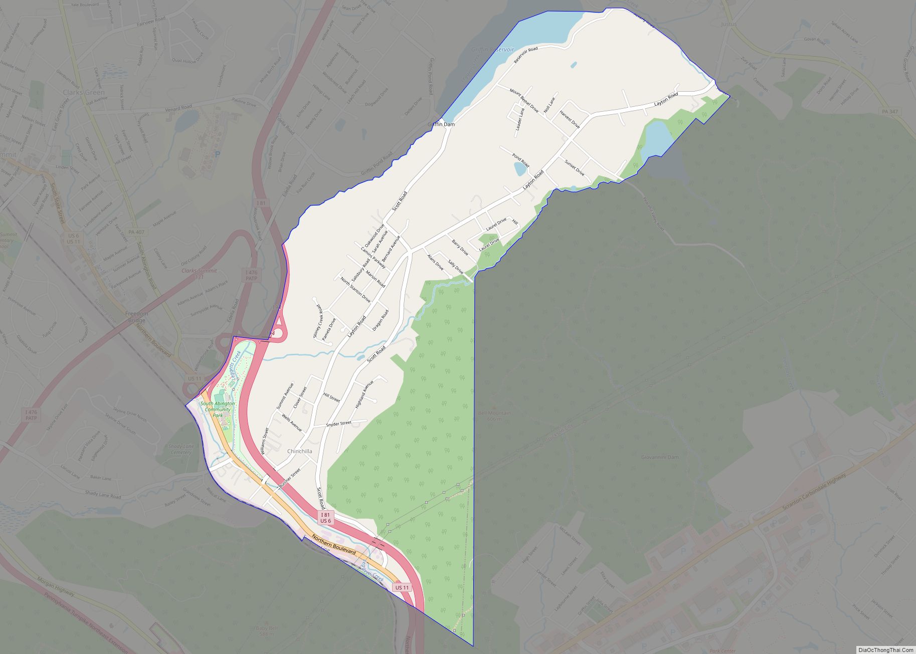
Chinchilla is a village and census-designated place in Scott and South Abington townships, Lackawanna County, Pennsylvania, United States. The CDP’s population was 2,098 at the time of the 2010 United States Census. It was known as “Leach’s Flats” until supposedly renamed by a female postmaster in the 1880 after her chinchilla-fur shawl. Chinchilla is located ... Read more
Map of Chinchilla CDP
Map of Chicora borough
Chicora is a borough in Butler County, Pennsylvania, United States. The population was 1,043 at the 2010 census. Chicora borough overview: Name: Chicora borough LSAD Code: 21 LSAD Description: borough (suffix) State: Pennsylvania County: Butler County Incorporated: 1855 Total Area: 0.54 sq mi (1.39 km²) Land Area: 0.53 sq mi (1.38 km²) Water Area: 0.00 sq mi (0.00 km²) Total Population: 916 Population Density: ... Read more
Map of Chicora borough
Map of Cheyney University CDP
Cheyney is an unincorporated community that sits astride Chester and Delaware counties in the U.S. state of Pennsylvania. It corresponds to the census-designated place known as Cheyney University, which had a population of 988 at the 2010 census. It is the home of Cheyney University of Pennsylvania. The university derives its name from George Cheyney’s ... Read more
Map of Cheyney University CDP
Map of Chewton CDP
Chewton is an unincorporated community and census-designated place (CDP) in Lawrence County, Pennsylvania, United States. The population was 488 at the 2010 census. Chewton CDP overview: Name: Chewton CDP LSAD Code: 57 LSAD Description: CDP (suffix) State: Pennsylvania County: Lawrence County Elevation: 910 ft (280 m) Total Area: 1.51 sq mi (3.91 km²) Land Area: 1.49 sq mi (3.87 km²) Water Area: 0.02 sq mi ... Read more
Map of Chewton CDP
Map of Chevy Chase Heights CDP
Chevy Chase Heights is a census-designated place within White Township, Indiana County, Pennsylvania, United States. The population was 1,502 at the 2010 census. Chevy Chase Heights CDP overview: Name: Chevy Chase Heights CDP LSAD Code: 57 LSAD Description: CDP (suffix) State: Pennsylvania County: Indiana County Elevation: 1,440 ft (440 m) Total Area: 1.27 sq mi (3.29 km²) Land Area: 1.27 sq mi ... Read more
Map of Chevy Chase Heights CDP
Map of Cheswick borough
Cheswick is a borough in Allegheny County, Pennsylvania, United States. The population was 1,672 as of the 2020 census. Cheswick borough overview: Name: Cheswick borough LSAD Code: 21 LSAD Description: borough (suffix) State: Pennsylvania County: Allegheny County Total Area: 0.55 sq mi (1.42 km²) Land Area: 0.46 sq mi (1.20 km²) Water Area: 0.09 sq mi (0.22 km²) Total Population: 1,672 Population Density: 3,611.23/sq mi ... Read more
Map of Cheswick borough
Map of Chesterbrook CDP
Chesterbrook is a census-designated place (CDP) in Chester County, Pennsylvania, United States. It is located within the Philadelphia metropolitan area and just south of Valley Forge National Historical Park. The population was 4,589 at the 2010 census. Chesterbrook is a development located in Tredyffrin Township which is located in Chester County. It is not a ... Read more
Map of Chesterbrook CDP
Map of Chester city, Pennsylvania
Chester is a city in Delaware County, Pennsylvania, United States. It is located in the Delaware Valley on the western bank of the Delaware River between Philadelphia and Wilmington, Delaware. The population of Chester was 32,605 at the 2020 census. Incorporated in 1682, Chester is the oldest city in Pennsylvania and was the location of ... Read more
Map of Chester city, Pennsylvania
Map of Chester Hill borough
Chester Hill is a borough in Clearfield County, Pennsylvania, United States. The population was 821 at the 2020 census. Chester Hill borough overview: Name: Chester Hill borough LSAD Code: 21 LSAD Description: borough (suffix) State: Pennsylvania County: Clearfield County Incorporated: 1883 Elevation: 1,450 ft (440 m) Total Area: 0.48 sq mi (1.24 km²) Land Area: 0.44 sq mi (1.15 km²) Water Area: 0.04 sq mi ... Read more
Map of Chester Hill borough
Map of Chester Heights borough
Chester Heights is a borough in Delaware County, Pennsylvania, United States. The population was 2,531 at the 2010 census. Most of the borough lies south of U.S. 1, about a mile southwest of Wawa. Chester Heights borough overview: Name: Chester Heights borough LSAD Code: 21 LSAD Description: borough (suffix) State: Pennsylvania County: Delaware County Incorporated: ... Read more
Map of Chester Heights borough
Map of Christiana borough, Pennsylvania
Christiana is a borough in Lancaster County, Pennsylvania, United States. The population was 1,100 at the time of the 2020 census. In 1851, it was the site of the Battle of Christiana, also called the Christiana riot. Christiana borough overview: Name: Christiana borough LSAD Code: 21 LSAD Description: borough (suffix) State: Pennsylvania County: Lancaster County ... Read more
Map of Christiana borough, Pennsylvania
Map of Clark borough, Pennsylvania
Clark is a borough in western Mercer County, Pennsylvania, United States, along the southern shore of the Shenango River Reservoir. The population was 576 at the 2020 census. It is part of the Youngstown–Warren metropolitan area. Clark borough overview: Name: Clark borough LSAD Code: 21 LSAD Description: borough (suffix) State: Pennsylvania County: Mercer County Total ... Read more
Map of Clark borough, Pennsylvania