Map of Christiana borough, Pennsylvania
Christiana is a borough in Lancaster County, Pennsylvania, United States. The population was 1,100 at the time of the 2020 census. In 1851, it was the site of the Battle of Christiana, also called the Christiana riot. Christiana borough overview: Name: Christiana borough LSAD Code: 21 LSAD Description: borough (suffix) State: Pennsylvania County: Lancaster County ... Read more
Map of Christiana borough, Pennsylvania
Map of Clark borough, Pennsylvania
Clark is a borough in western Mercer County, Pennsylvania, United States, along the southern shore of the Shenango River Reservoir. The population was 576 at the 2020 census. It is part of the Youngstown–Warren metropolitan area. Clark borough overview: Name: Clark borough LSAD Code: 21 LSAD Description: borough (suffix) State: Pennsylvania County: Mercer County Total ... Read more
Map of Clark borough, Pennsylvania
Map of Clarion borough, Pennsylvania
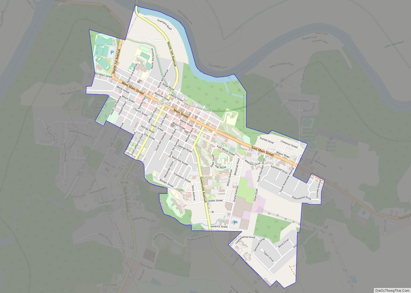
Clarion is a borough in and the county seat of Clarion County, Pennsylvania, United States. It is located 77 miles (124 km) north-northeast of Pittsburgh and is part of the Pittsburgh DMA. Clarion was settled in 1839 and incorporated in 1841. In the past, the surrounding area produced natural gas, oil, lumber and coal. The population ... Read more
Map of Clarion borough, Pennsylvania
Map of Clarendon borough, Pennsylvania
Clarendon borough overview: Name: Clarendon borough LSAD Code: 21 LSAD Description: borough (suffix) State: Pennsylvania County: Warren County FIPS code: 4213776 Online Interactive Map Clarendon online map. Source: Basemap layers from Google Map, Open Street Map (OSM), Arcgisonline, Wmflabs. Boundary Data from Database of Global Administrative Areas. Clarendon location map. Where is Clarendon borough? Clarendon ... Read more
Map of Clarendon borough, Pennsylvania
Map of Clarence CDP, Pennsylvania
Clarence is a census-designated place (CDP) in Centre County, Pennsylvania, United States. It is part of the State College, Pennsylvania Metropolitan Statistical Area. The population was 626 at the 2010 census. Clarence CDP overview: Name: Clarence CDP LSAD Code: 57 LSAD Description: CDP (suffix) State: Pennsylvania County: Centre County Elevation: 1,400 ft (400 m) Total Area: 2.66 sq mi ... Read more
Map of Clarence CDP, Pennsylvania
Map of Clairton city
Clairton is a city in Allegheny County, Pennsylvania, United States. It is located along the Monongahela River and is part of the Pittsburgh Metropolitan Area. The population was 6,181 at the 2020 census. Under Pennsylvania legal classifications for local governments, Clairton is considered a third-class city. It is home to Clairton Works, the largest coke ... Read more
Map of Clairton city
Map of Churchville CDP, Pennsylvania
Churchville is a census-designated place (CDP) in Northampton Township, Bucks County, Pennsylvania. The population was 4,128 at the 2010 census. Churchville CDP overview: Name: Churchville CDP LSAD Code: 57 LSAD Description: CDP (suffix) State: Pennsylvania County: Bucks County Elevation: 203 ft (62 m) Total Area: 3.48 sq mi (9.00 km²) Land Area: 3.20 sq mi (8.30 km²) Water Area: 0.27 sq mi (0.71 km²) Total Population: ... Read more
Map of Churchville CDP, Pennsylvania
Map of Churchtown CDP
Churchtown is an unincorporated community and census-designated place (CDP) in Caernarvon Township, Lancaster County, Pennsylvania, United States, along Pennsylvania Route 23. The population was 470 as of the 2010 census. Churchtown CDP overview: Name: Churchtown CDP LSAD Code: 57 LSAD Description: CDP (suffix) State: Pennsylvania County: Lancaster County Elevation: 564 ft (172 m) Total Area: 1.90 sq mi (4.92 km²) ... Read more
Map of Churchtown CDP
Map of Clifton Heights borough
Clifton Heights is a borough in Delaware County, Pennsylvania, United States, located on Darby Creek 5 miles (8 km) west of downtown Philadelphia. As of the 2010 census, the population was 6,652. Clifton Heights borough overview: Name: Clifton Heights borough LSAD Code: 21 LSAD Description: borough (suffix) State: Pennsylvania County: Delaware County Elevation: 157 ft (48 m) Total ... Read more
Map of Clifton Heights borough
Map of Cleona borough
Cleona is a borough in Lebanon County, Pennsylvania, United States. It is part of the Lebanon, Pennsylvania Metropolitan Statistical Area. The population was 2,005 at the 2020 census. Cleona borough overview: Name: Cleona borough LSAD Code: 21 LSAD Description: borough (suffix) State: Pennsylvania County: Lebanon County Incorporated: 1929 Elevation: 443 ft (135 m) Total Area: 0.83 sq mi (2.16 km²) ... Read more
Map of Cleona borough
Map of Clearfield borough, Pennsylvania
Clearfield is a borough and the county seat of Clearfield County, Pennsylvania, United States. As of the 2020 census the population was 5,962 people, making it the second most populous community in Clearfield County, behind DuBois. The borough is part of the DuBois, PA Micropolitan Statistical Area, as well as the larger State College-DuBois, PA ... Read more
Map of Clearfield borough, Pennsylvania
Map of Claysville borough
Claysville is a borough in Washington County, Pennsylvania, United States and part of the Pittsburgh metropolitan area since 1950. The population was 728 at the 2020 census. Claysville Elementary School, part of the McGuffey School District is located in Claysville. It is the birthplace of Benjamin Franklin Jones of the Jones and Laughlin Steel Company. ... Read more
Map of Claysville borough