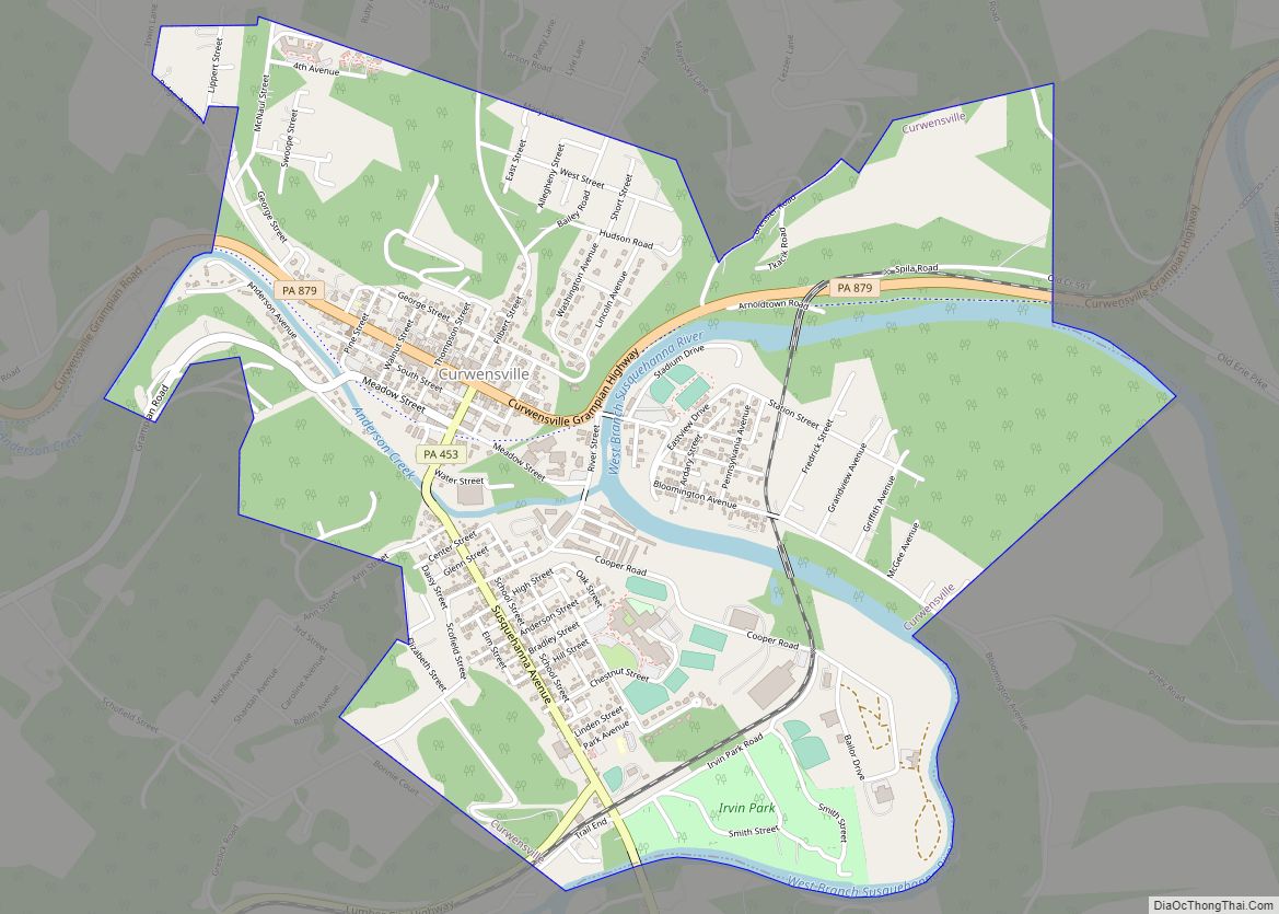
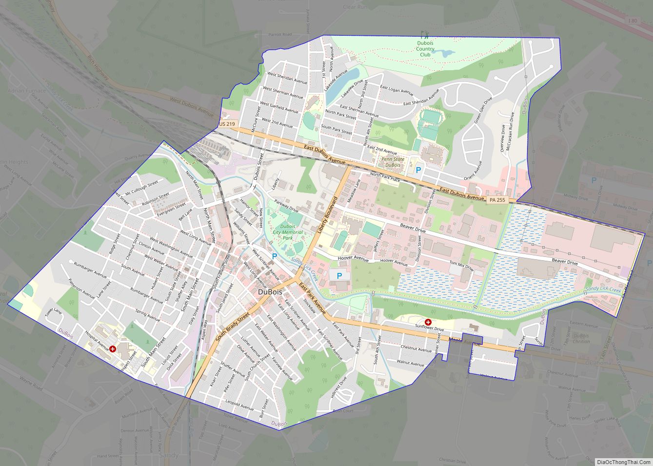
Clearfield is a borough and the county seat of Clearfield County, Pennsylvania, United States. As of the 2020 census the population was 5,962 people, making it the second most populous community in Clearfield County, behind DuBois. The borough is part of the DuBois, PA Micropolitan Statistical Area, as well as the larger State College-DuBois, PA Combined Statistical Area. The settled area surrounding the borough consists of the nearby census-designated places of Hyde and Plymptonville, which combined with Clearfield have a population of approximately 8,237 people.
| Name: | Clearfield borough |
|---|---|
| LSAD Code: | 21 |
| LSAD Description: | borough (suffix) |
| State: | Pennsylvania |
| County: | Clearfield County |
| Incorporated: | 1840 |
| Elevation: | 1,109 ft (338 m) |
| Total Area: | 1.88 sq mi (4.87 km²) |
| Land Area: | 1.80 sq mi (4.67 km²) |
| Water Area: | 0.08 sq mi (0.20 km²) |
| Total Population: | 5,962 |
| Population Density: | 3,306.71/sq mi (1,276.88/km²) |
| ZIP code: | 16830 |
| Area code: | 814 |
| FIPS code: | 4214064 |
| Website: | clearfieldboro.com |
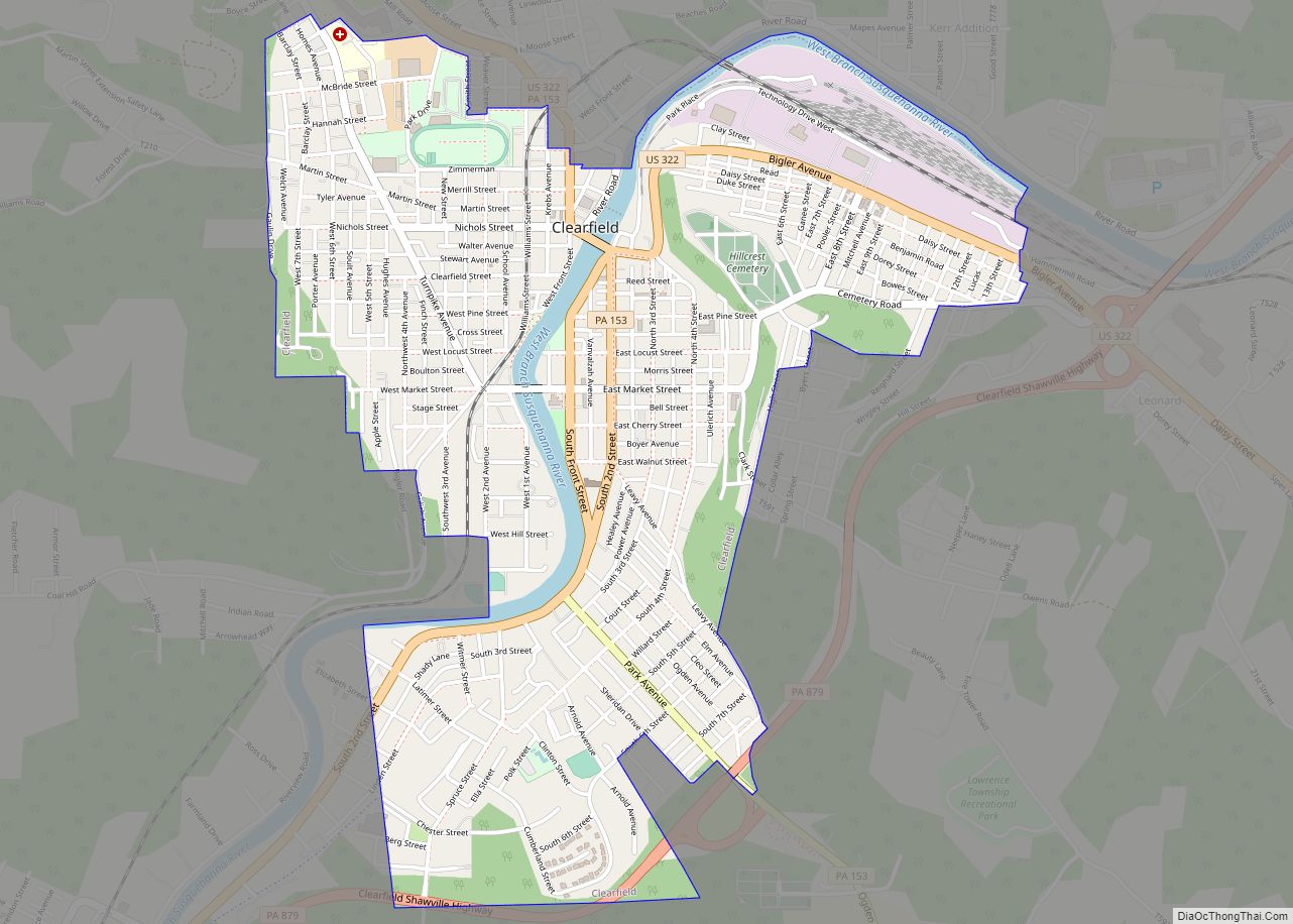
Online Interactive Map
Click on ![]() to view map in "full screen" mode.
to view map in "full screen" mode.
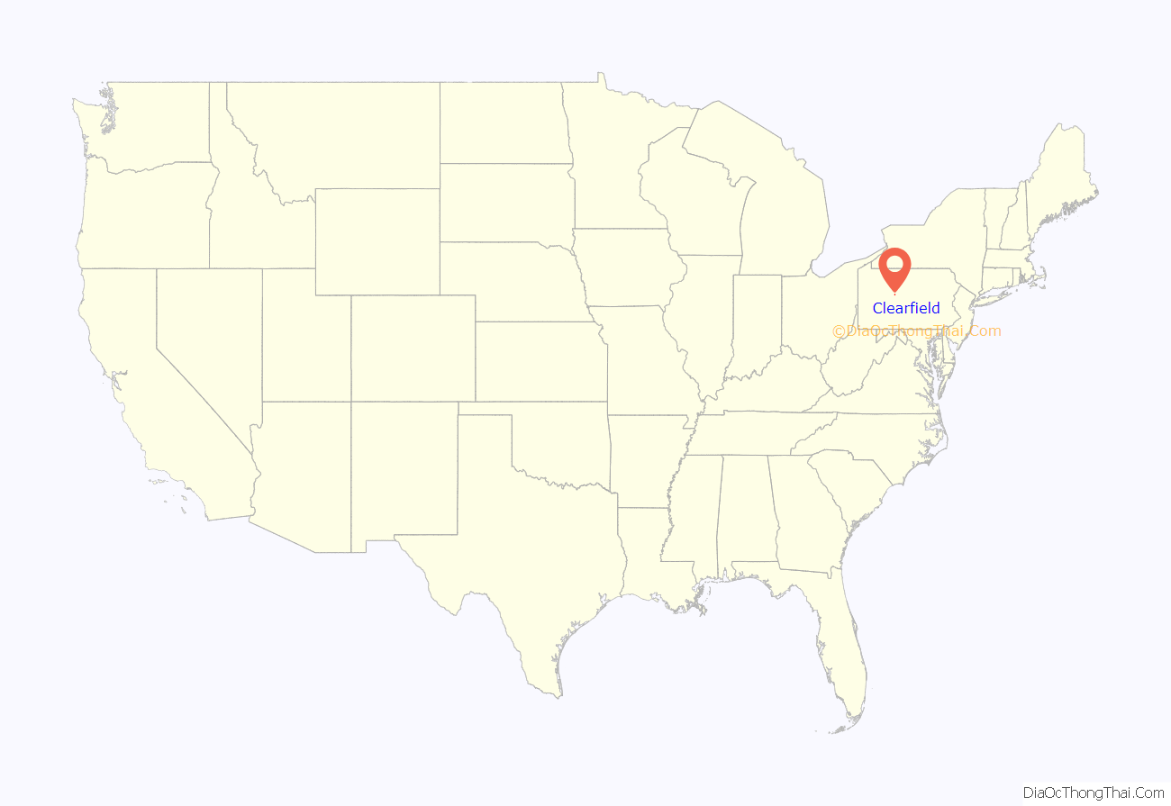
Clearfield location map. Where is Clearfield borough?
History
There were many trade routes and paths for Native Americans living and passing through Clearfield County up to the 1600s. One major Indian path at the time was the Great Shamokin Path, which started near the Indian village of Shamokin (now Sunbury) on the Susquehanna River and continued west past Lock Haven, to Chinklacamoose, now the borough of Clearfield. Finally the path ended at the village of Kittanning on the Allegheny River, which is now the modern town of the same name.
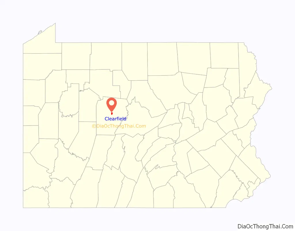
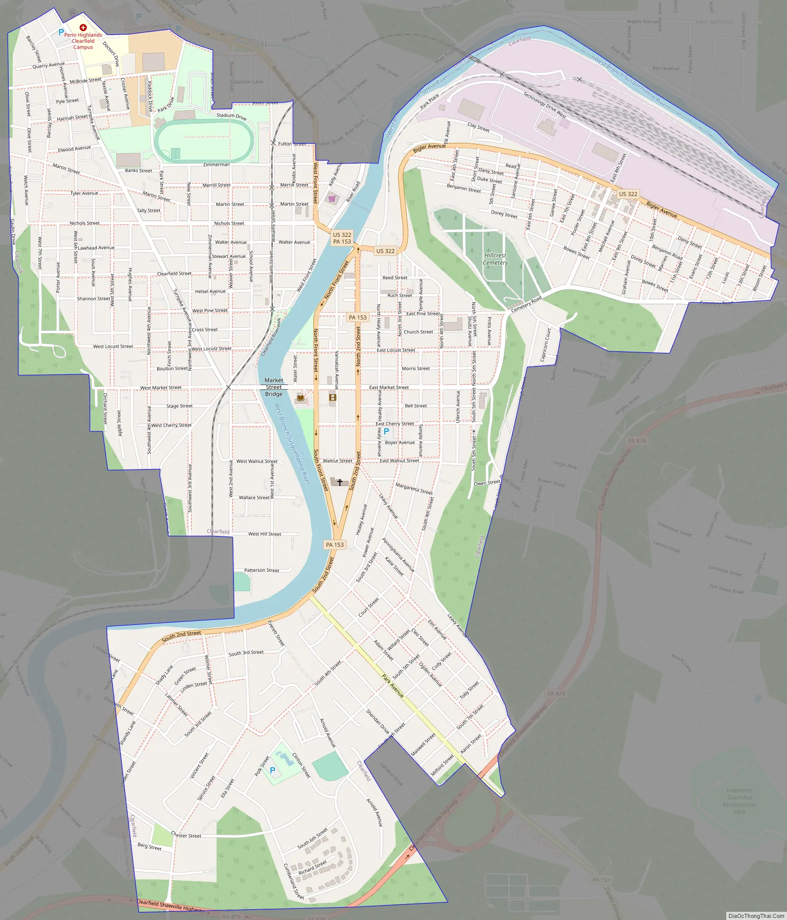
Clearfield Road Map
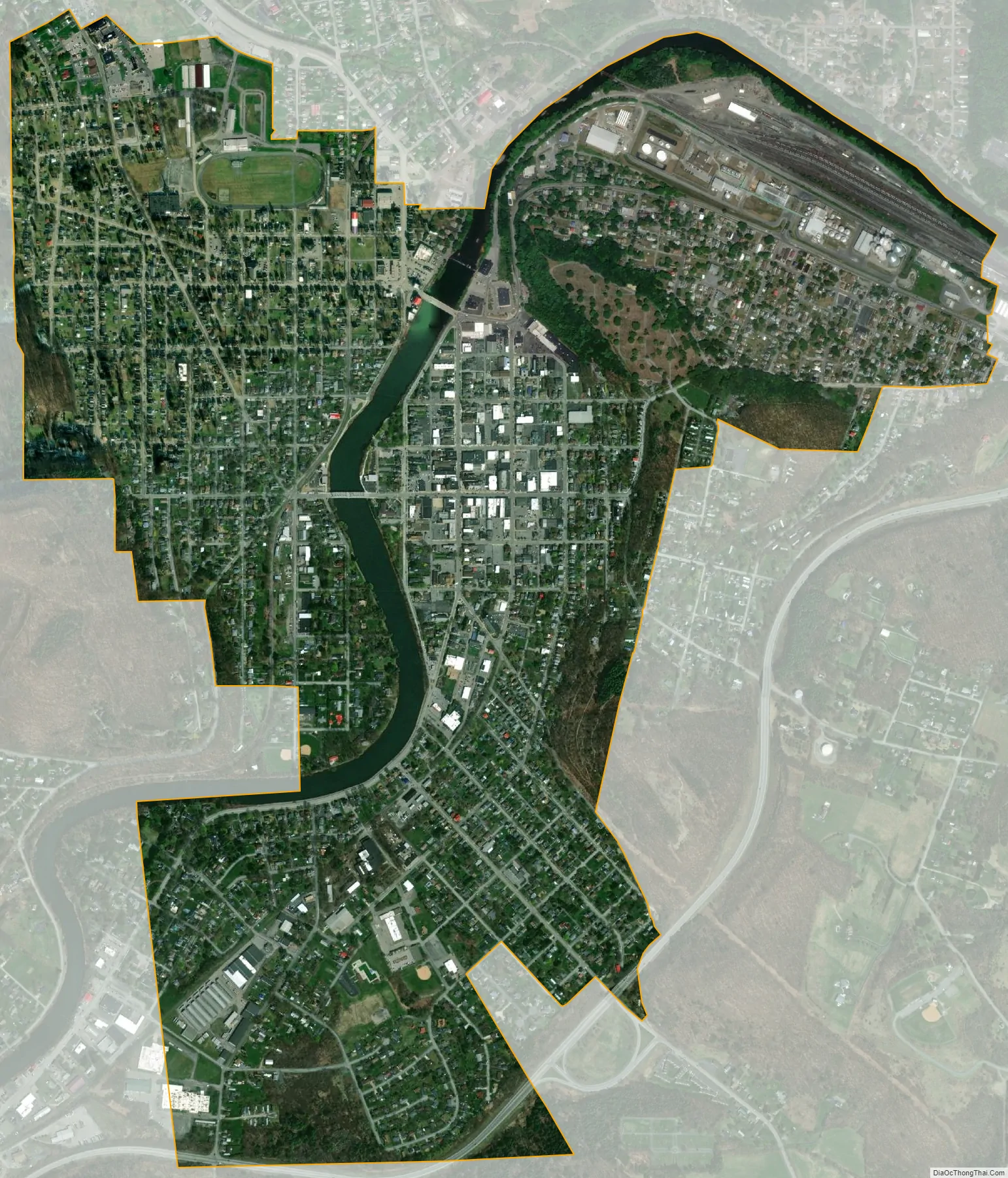
Clearfield city Satellite Map
Geography
Clearfield is located near the center of Clearfield County along the West Branch of the Susquehanna River. Clearfield Creek joins the West Branch 2 miles (3 km) to the east (downstream) of town.
U.S. Route 322 passes through the borough, and Interstate 80 passes just to the north, with access from Exit 120 (Pennsylvania Route 879). Via US-322 and I-80, it is 22 miles (35 km) northwest to the city of DuBois. US-322 leads southeast 40 miles (64 km) to State College.
Adjacent counties
- Elk County (North)
- Cameron County (Northeast)
- Clinton County (Northeast)
- Cambria County (South)
- Blair County (Southeast)
- Indiana County (Southwest)
- Centre County (East)
- Jefferson County (West)
See also
Map of Pennsylvania State and its subdivision:- Adams
- Allegheny
- Armstrong
- Beaver
- Bedford
- Berks
- Blair
- Bradford
- Bucks
- Butler
- Cambria
- Cameron
- Carbon
- Centre
- Chester
- Clarion
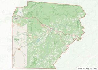
- Clearfield
- Clinton
- Columbia
- Crawford
- Cumberland
- Dauphin
- Delaware
- Elk
- Erie
- Fayette
- Forest
- Franklin
- Fulton
- Greene
- Huntingdon
- Indiana
- Jefferson
- Juniata
- Lackawanna
- Lancaster
- Lawrence
- Lebanon
- Lehigh
- Luzerne
- Lycoming
- Mc Kean
- Mercer
- Mifflin
- Monroe
- Montgomery
- Montour
- Northampton
- Northumberland
- Perry
- Philadelphia
- Pike
- Potter
- Schuylkill
- Snyder
- Somerset
- Sullivan
- Susquehanna
- Tioga
- Union
- Venango
- Warren
- Washington
- Wayne
- Westmoreland
- Wyoming
- York
- Alabama
- Alaska
- Arizona
- Arkansas
- California
- Colorado
- Connecticut
- Delaware
- District of Columbia
- Florida
- Georgia
- Hawaii
- Idaho
- Illinois
- Indiana
- Iowa
- Kansas
- Kentucky
- Louisiana
- Maine
- Maryland
- Massachusetts
- Michigan
- Minnesota
- Mississippi
- Missouri
- Montana
- Nebraska
- Nevada
- New Hampshire
- New Jersey
- New Mexico
- New York
- North Carolina
- North Dakota
- Ohio
- Oklahoma
- Oregon
- Pennsylvania
- Rhode Island
- South Carolina
- South Dakota
- Tennessee
- Texas
- Utah
- Vermont
- Virginia
- Washington
- West Virginia
- Wisconsin
- Wyoming