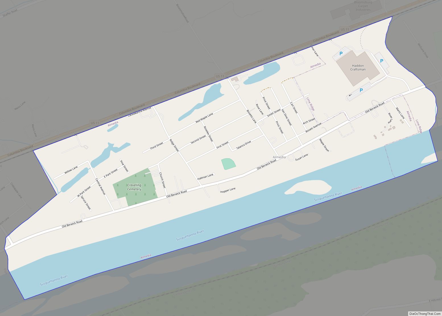
Almedia is a census-designated place (CDP) in Columbia County, Pennsylvania, United States. It is part of Northeastern Pennsylvania. The population was 1,078 at the 2010 census. It is part of the Bloomsburg-Berwick micropolitan area. Almedia CDP overview: Name: Almedia CDP LSAD Code: 57 LSAD Description: CDP (suffix) State: Pennsylvania County: Columbia County Elevation: 505 ft (154 m) ... Read more
Pennsylvania Cities and Places
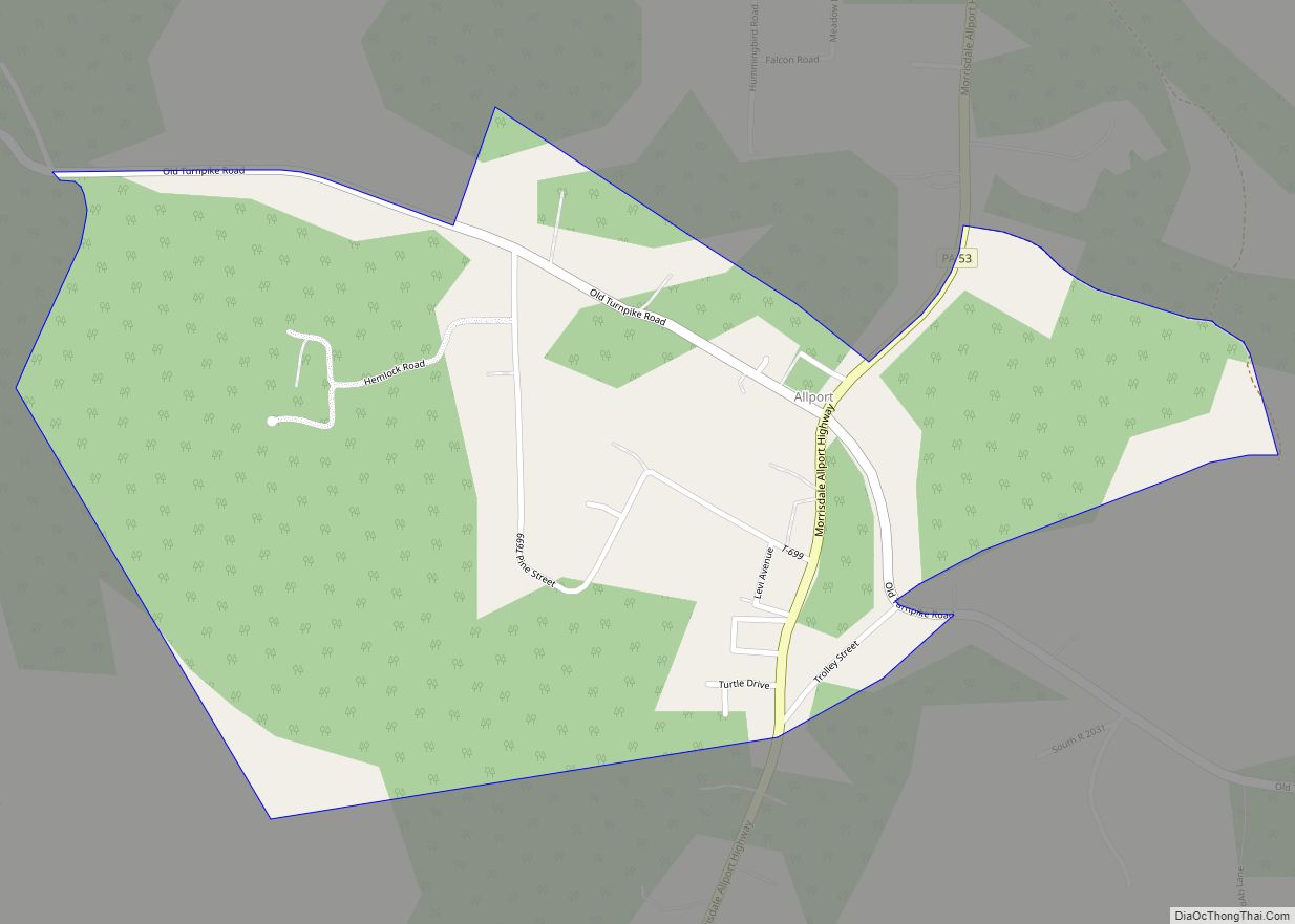
Allport is a census-designated place, which is located in Morris Township, Clearfield County, in the state of Pennsylvania. As of the 2020 census, the population was 230. Pennsylvania Route 53 passes through Allport, leading northeast 2.5 miles (4.0 km) to Interstate 80, Exit 133 at Kylertown and south 6 miles (10 km) to Philipsburg. Allport CDP overview: ... Read more
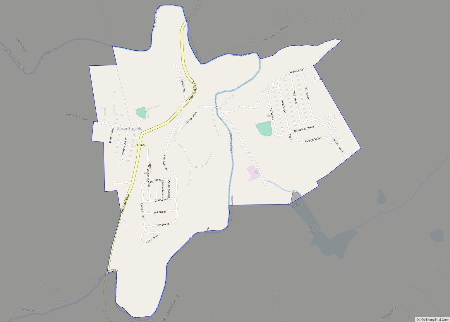
Allison is an unincorporated community and census-designated place (CDP), which is located in Luzerne and Redstone townships in Fayette County, Pennsylvania, United States. It is situated 3 miles (5 km) south of the borough of Brownsville. As of the 2010 census, the population was 625. The CDP includes the neighborhood of Allison Heights in Luzerne Township. ... Read more
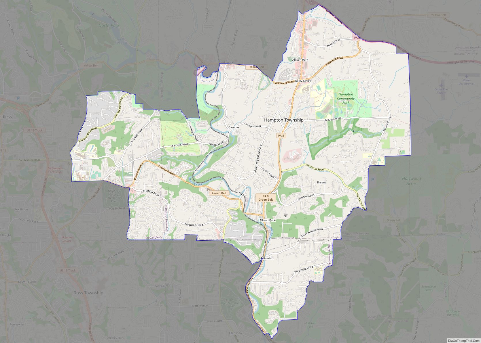
Allison Park is a census-designated place in Allegheny County, Pennsylvania, United States. It is a suburb of Pittsburgh and is located within Hampton, McCandless, Shaler, Indiana and West Deer townships. It had a population of 21,864 at the 2020 census. The ZIP Code for Allison Park is 15101. Allison Park CDP overview: Name: Allison Park ... Read more
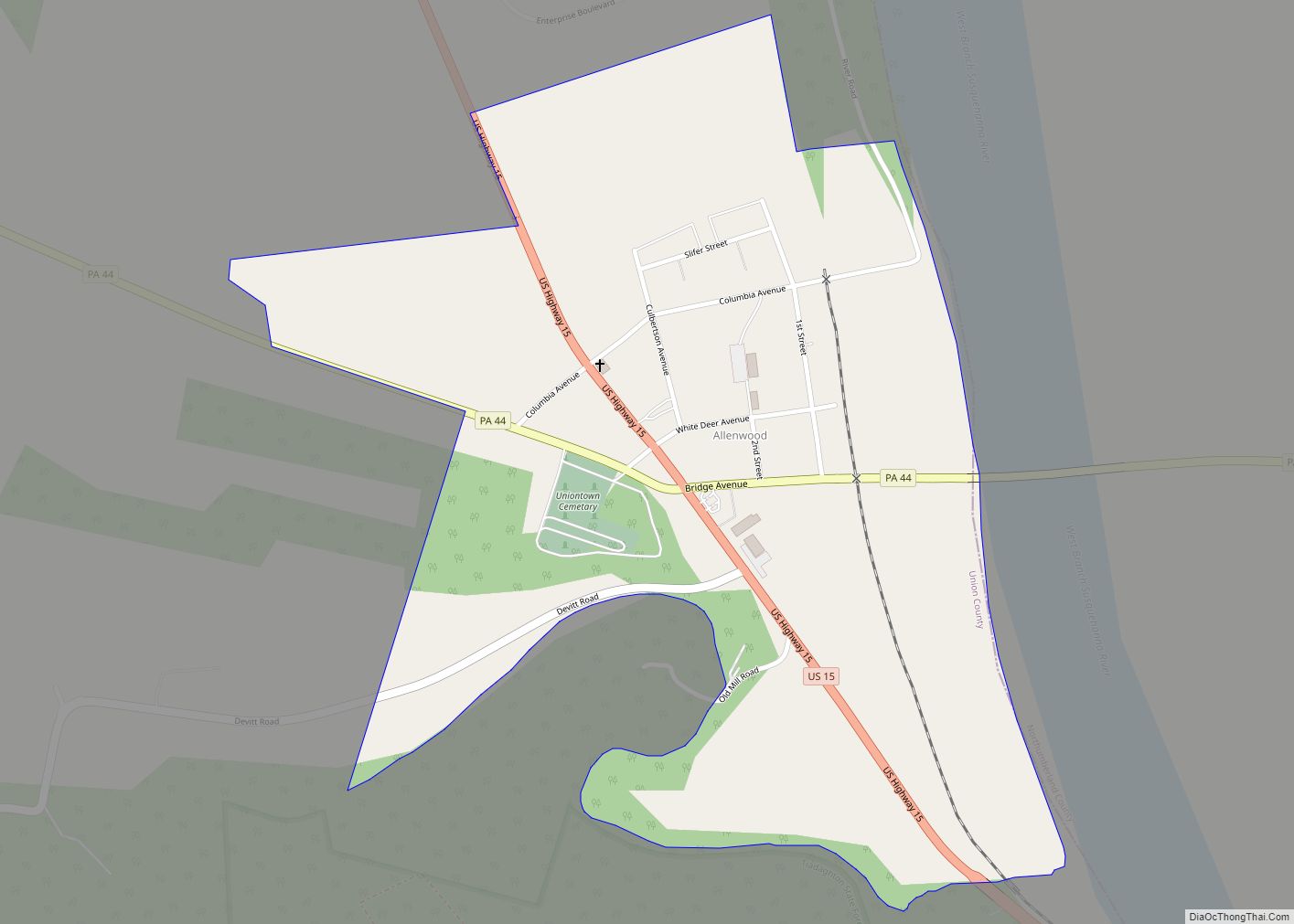
Allenwood (also called Union Town) is a census-designated place in Gregg Township, Union County, Pennsylvania, United States. As of the 2010 census, its population was 321. Federal Correctional Complex, Allenwood is located here. Allenwood CDP overview: Name: Allenwood CDP LSAD Code: 57 LSAD Description: CDP (suffix) State: Pennsylvania County: Union County Elevation: 495 ft (151 m) Total ... Read more
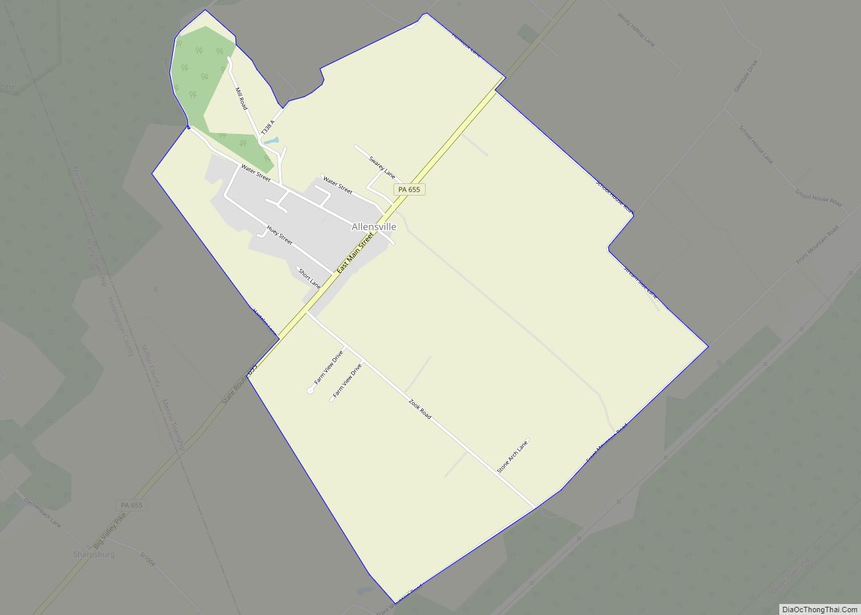
Allensville is a census-designated place (CDP) in Menno Township, Mifflin County, Pennsylvania, United States. A gazebo apparently made from a steeple near the Community church The Presbyterian church in a pre-1923 postcard Post office Allensville CDP overview: Name: Allensville CDP LSAD Code: 57 LSAD Description: CDP (suffix) State: Pennsylvania County: Mifflin County FIPS code: 4201004 ... Read more
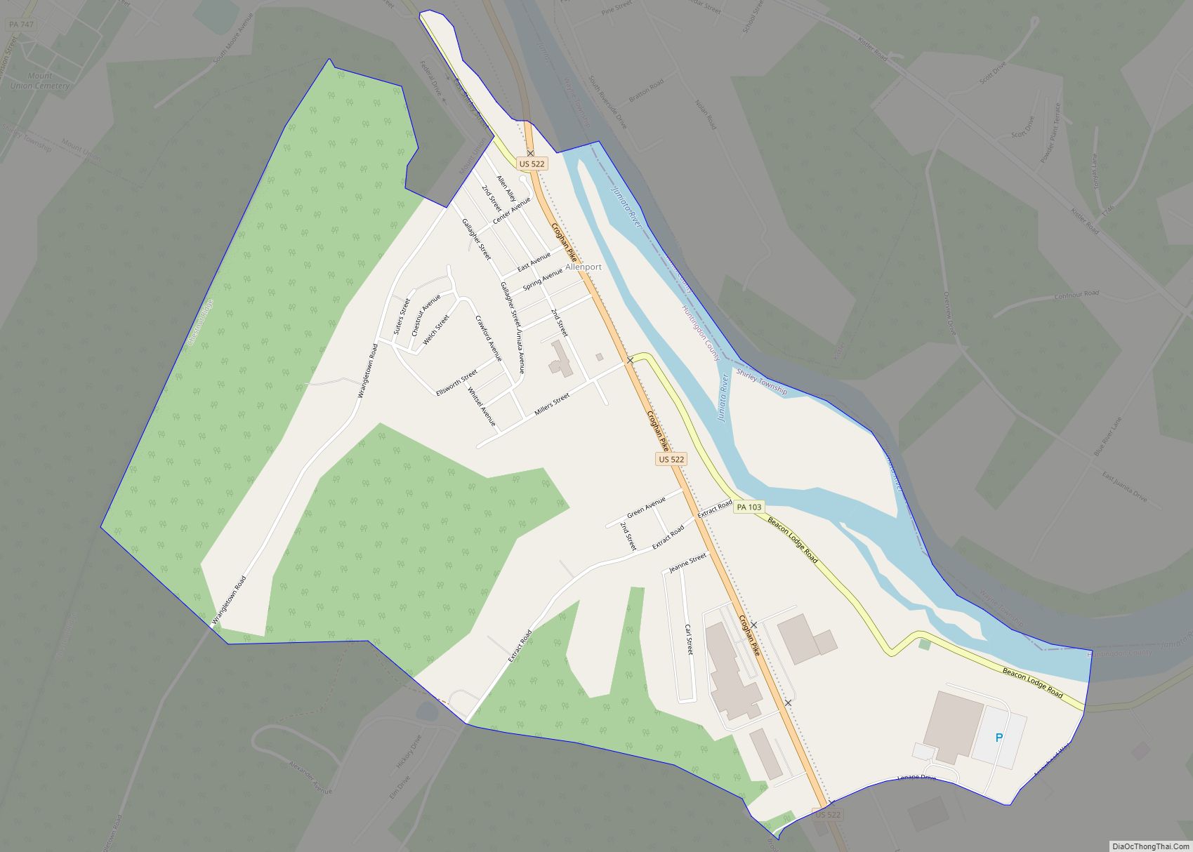
Allenport is an unincorporated community and census-designated place (CDP) in Huntingdon County, Pennsylvania, United States. It lies southeast of Mount Union on the Juniata River in Shirley Township. The population was 648 as of the 2010 census. Allenport is the location of the Riverview Business Center, home of manufacturing facilities for Bonney Forge, FCI (formerly ... Read more
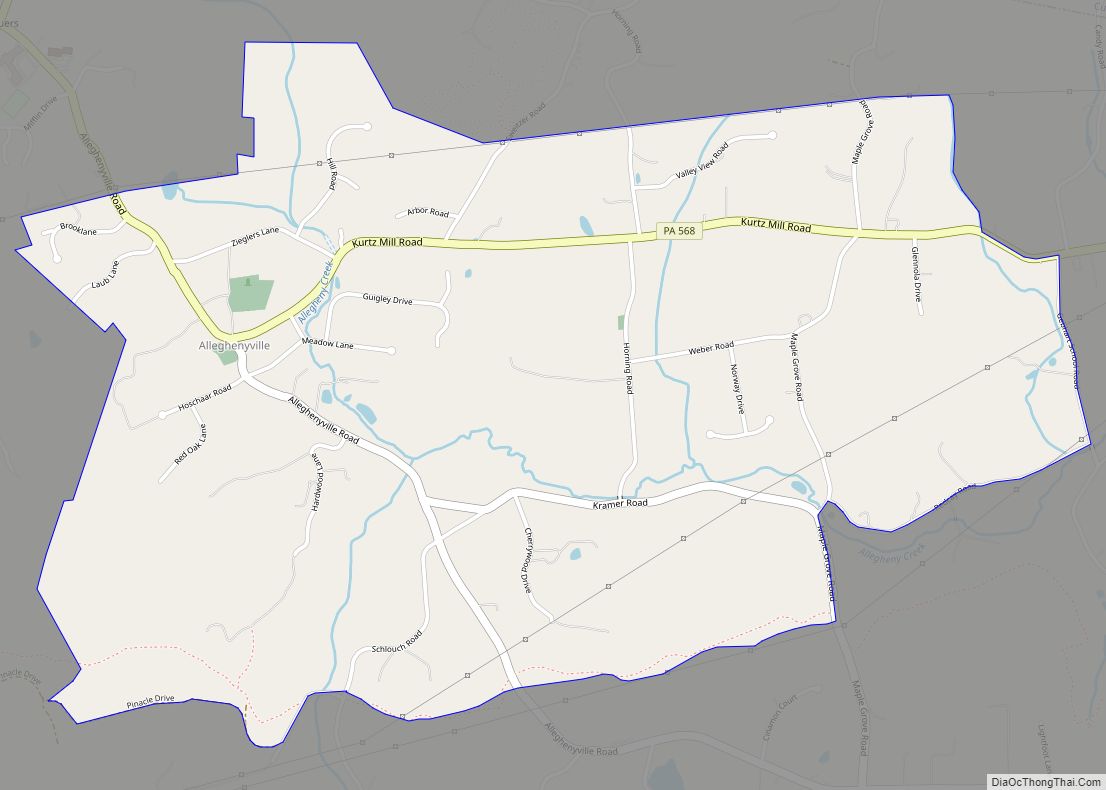
Alleghenyville is a census-designated place (CDP) in Brecknock Township, Berks County, Pennsylvania, United States. It is located near the Lancaster County line, and is served by the Governor Mifflin School District. As of the 2010 census the population was 1,134. Alleghenyville CDP overview: Name: Alleghenyville CDP LSAD Code: 57 LSAD Description: CDP (suffix) State: Pennsylvania ... Read more
Altoona is a city in Blair County, Pennsylvania, United States. The population was 43,963 at the time of the 2020 census, making it the 18th-most populous city in Pennsylvania. It is the principal city of the Altoona metropolitan area, which includes all of Blair County and was recorded as having a population of 122,822 at ... Read more
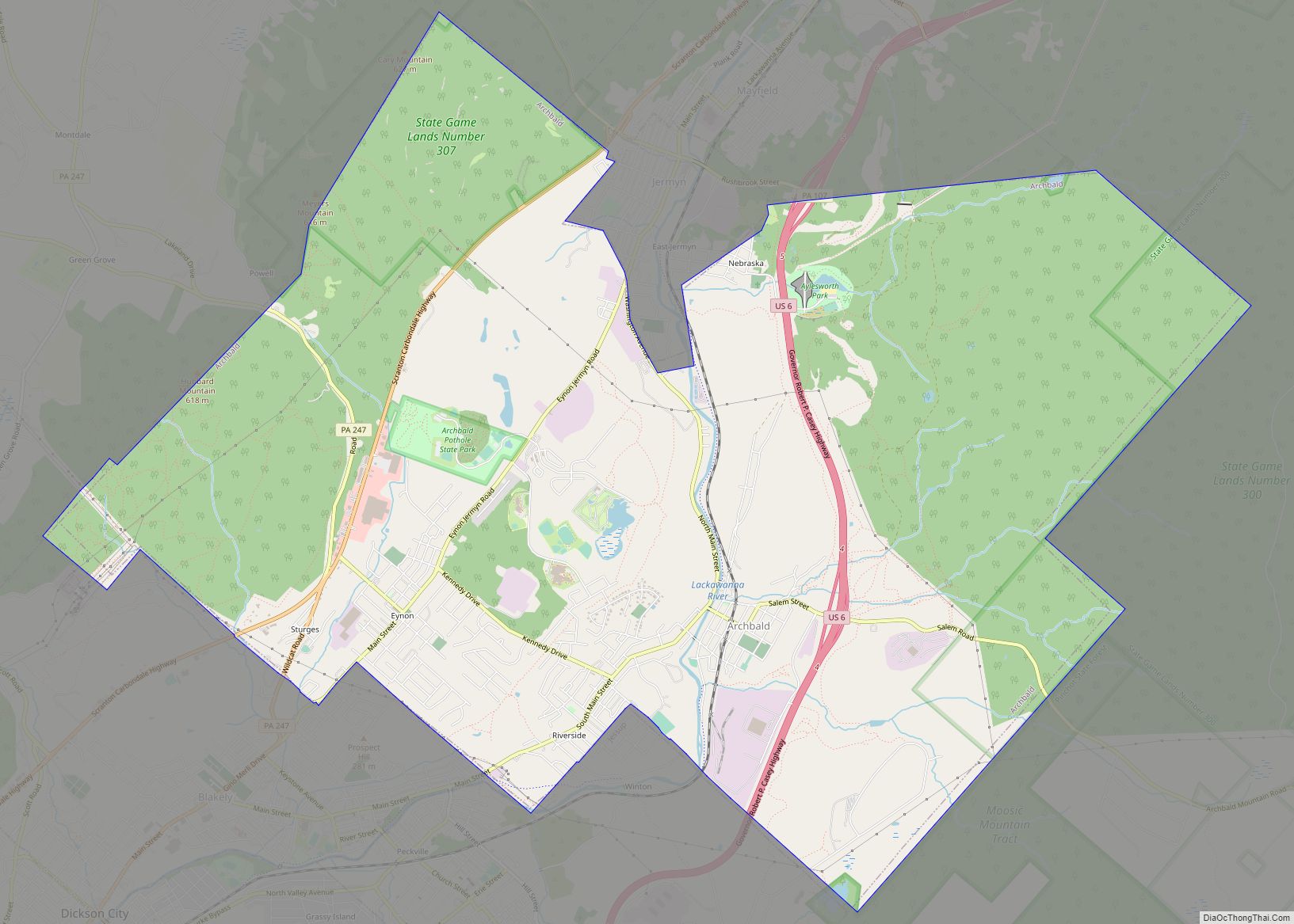
Archbald is a borough in Lackawanna County, Pennsylvania, United States. It is part of Northeastern Pennsylvania and is named for James Archbald, the first mayor of Carbondale, Pennsylvania. Before being renamed in Archbald’s honor, the name of the settlement was White Oak Run. Most of the original settlers were Irish Catholics, fleeing the Great Famine. ... Read more
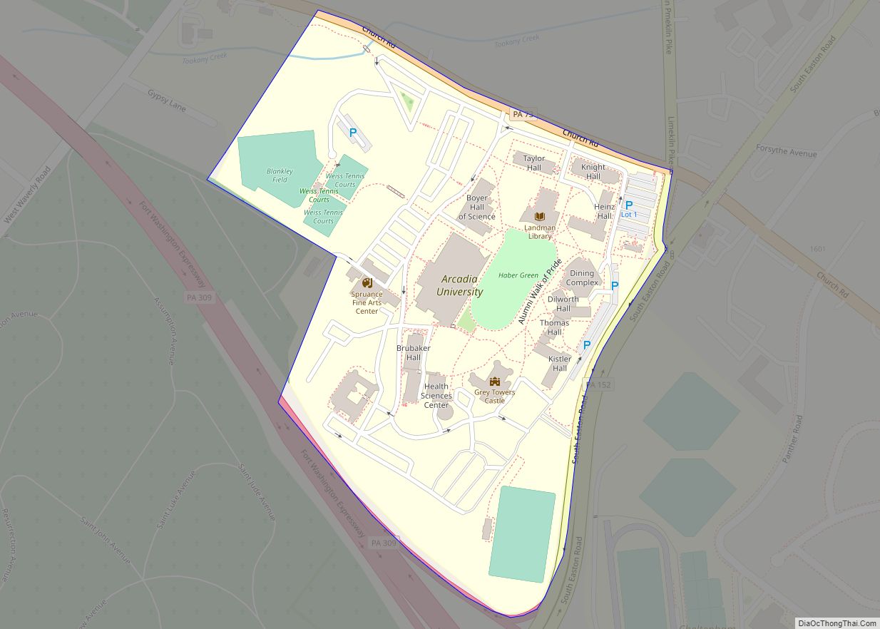
Arcadia University is a census-designated place located in Cheltenham Township, Montgomery County, Pennsylvania. It is located just off campus at Arcadia University and off Pennsylvania Route 309. As of the 2010 census the population was 595 residents. With 10,438 people per square mile, Arcadia University is the most densely populated census-designated place in Montgomery County ... Read more
Applewold is a borough in Armstrong County, Pennsylvania, United States. The population was 334 at the 2020 census. Applewold borough overview: Name: Applewold borough LSAD Code: 21 LSAD Description: borough (suffix) State: Pennsylvania County: Armstrong County Incorporated: 1899 Elevation: 790 ft (240 m) Total Area: 0.05 sq mi (0.12 km²) Land Area: 0.05 sq mi (0.12 km²) Water Area: 0.00 sq mi (0.00 km²) Total Population: ... Read more
