Ambridge is a borough in Beaver County, Pennsylvania, United States. Incorporated in 1905 as a company town by the American Bridge Company, Ambridge is located 16 miles (25 km) northwest of Pittsburgh, along the Ohio River. The population was 6,972 at the 2020 census.
| Name: | Ambridge borough |
|---|---|
| LSAD Code: | 21 |
| LSAD Description: | borough (suffix) |
| State: | Pennsylvania |
| County: | Beaver County |
| Incorporated: | 1905 |
| Elevation: | 764 ft (233 m) |
| Total Area: | 1.70 sq mi (4.41 km²) |
| Land Area: | 1.49 sq mi (3.85 km²) |
| Water Area: | 0.21 sq mi (0.55 km²) |
| Total Population: | 6,972 |
| Population Density: | 4,688.63/sq mi (1,810.01/km²) |
| Area code: | 724 |
| FIPS code: | 4202288 |
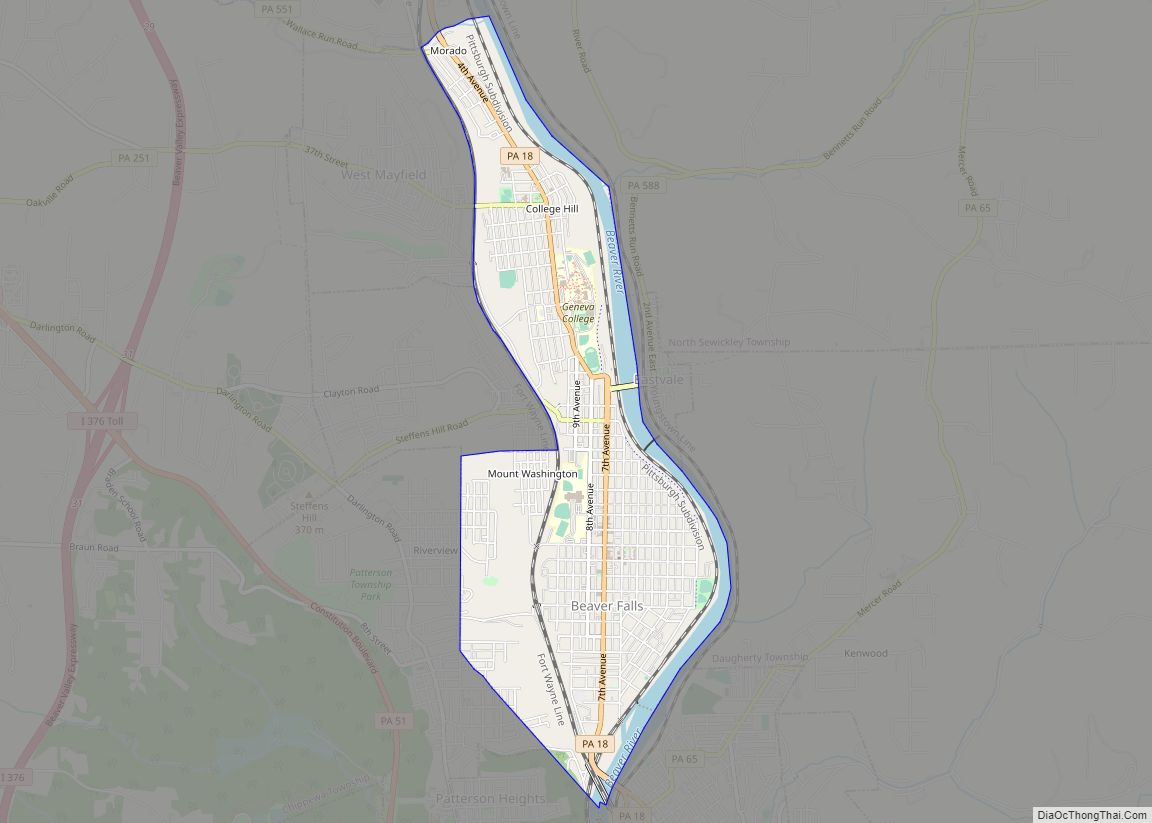
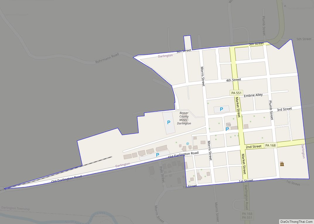
Online Interactive Map
Click on ![]() to view map in "full screen" mode.
to view map in "full screen" mode.
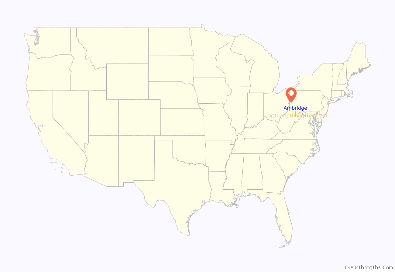
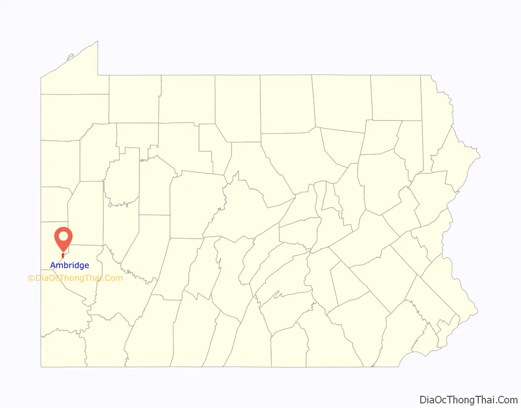
Ambridge location map. Where is Ambridge borough?
History
The town is near the location of Legionville, the training camp for General “Mad” Anthony Wayne’s Legion of the United States. Wayne’s was the first attempt to provide basic training for regular U.S. Army recruits and Legionville was the first facility established expressly for this purpose. The Harmony Society first settled the area in the early 19th century, founding the village of “Ökonomie” or Economy in 1824. Although initially successful, accumulating significant landholdings, the sect went into decline. By the end of the 19th century, only a few Harmonists remained. The society was dissolved and its vast real estate holdings sold, much of it to the American Bridge Company, who subsequently enlarged the town and incorporated it as Ambridge in 1905.
American Bridge attracted thousands of immigrants who came to fulfill their dreams of work, freedom, and peace. The steel mills became the focal point of the town. Most of the employees were relatives of relatives and the small town grew, with wards separating the town into ethnic sections. In addition, many of the ethnicities had their own church, club, and musical group that sought to give immigrants a familiar place to be as well as to preserve their culture. Many were from Eastern and Southern Europe including Italian, Greek, Slovak, Croatian, Ukrainian, Polish, Slovene, and Carpartho-Rusyn, to name a few.
With the growth of the steel mills, Ambridge became a worldwide leader in steel production. The borough became known for bridge building, metal molding, and the manufacture of tubes (large iron pipes). During World War II, the American Bridge Company fabricated steel for the building of LSTs (Landing Ship Tanks). The steel was then sent by rail to the adjacent American Bridge naval shipyard in Leetsdale, Pennsylvania, where the LSTs were built. The area was also home to several other steel mills like Armco, the pipe mill which manufactured oil piping, and A.M. Byers, a major iron and tool fabricator. Eventually competition by foreign steel producers began to cause the share of the steel market for U.S. manufacturers to dwindle. With the shift of steel production overseas, the American Bridge Company ended operations in Ambridge in 1983. The legacy of American Bridge can be seen today in bridges around the world.
The decline of both the steel industry and the town is chronicled in Rust Belt Boy by Ambridge native Paul Hertneky.
With Ambridge now over 100 years old, revitalization is beginning to occur along Merchant Street in the Downtown Commercial District. Entrepreneurs and investors have begun to renovate the Victorian facades of the commercial storefronts. Antique shops are opening in the Historic District, which is also a National Historic Landmark, and a once industrial warehouse area is being converted to condominiums, shops, and parks. In 2007 Ambridge was designated as a Preserve America Community by the White House. Convenient to Pittsburgh along the Ohio River Boulevard and just across the Ohio River from the Pittsburgh Airport, Ambridge leaders hope it will benefit by its location and low cost of living.
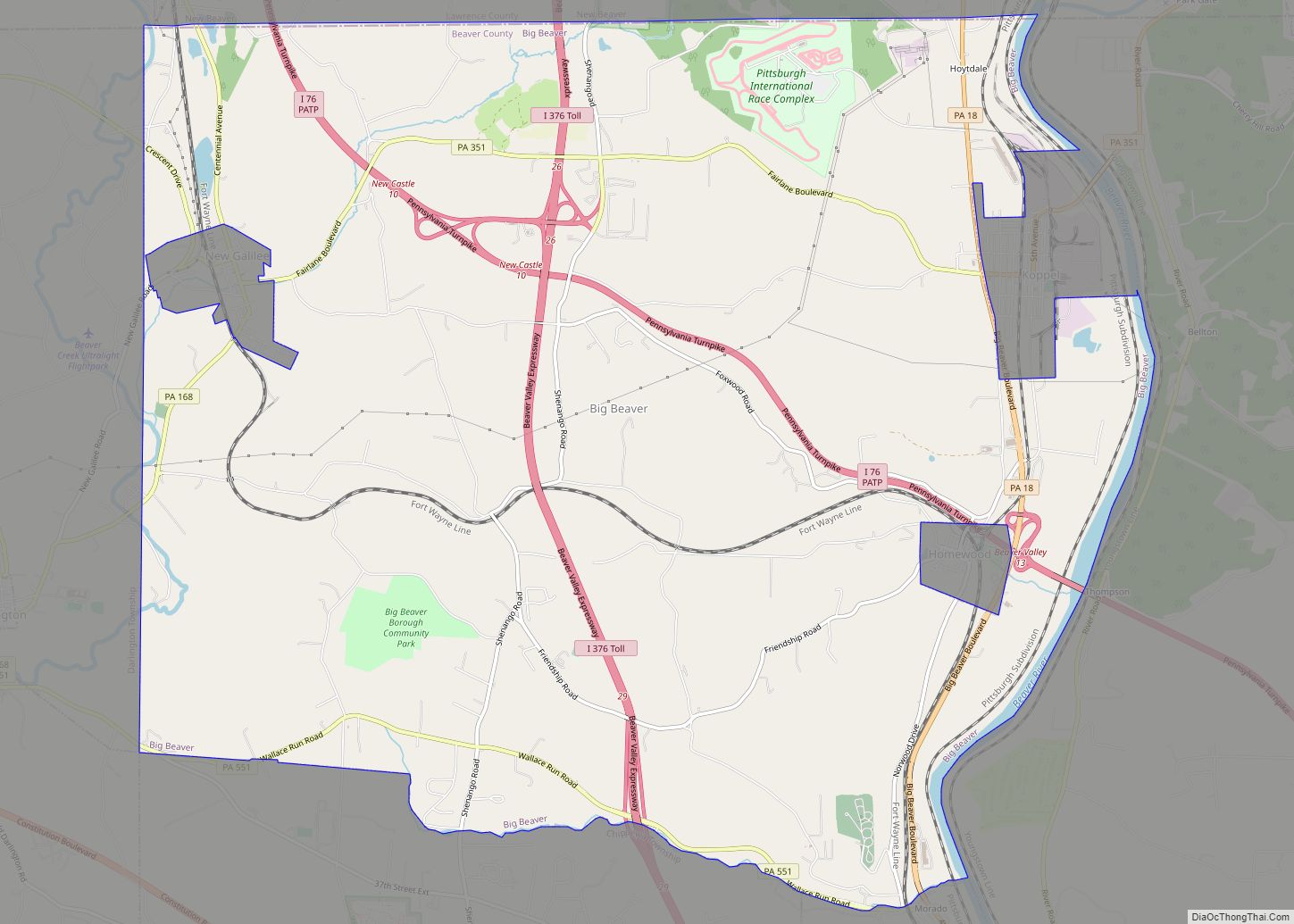
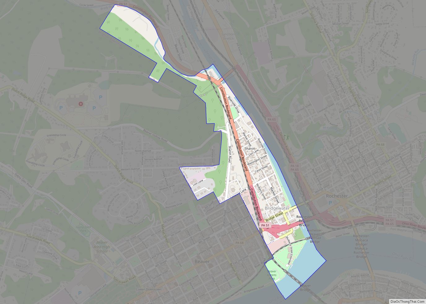
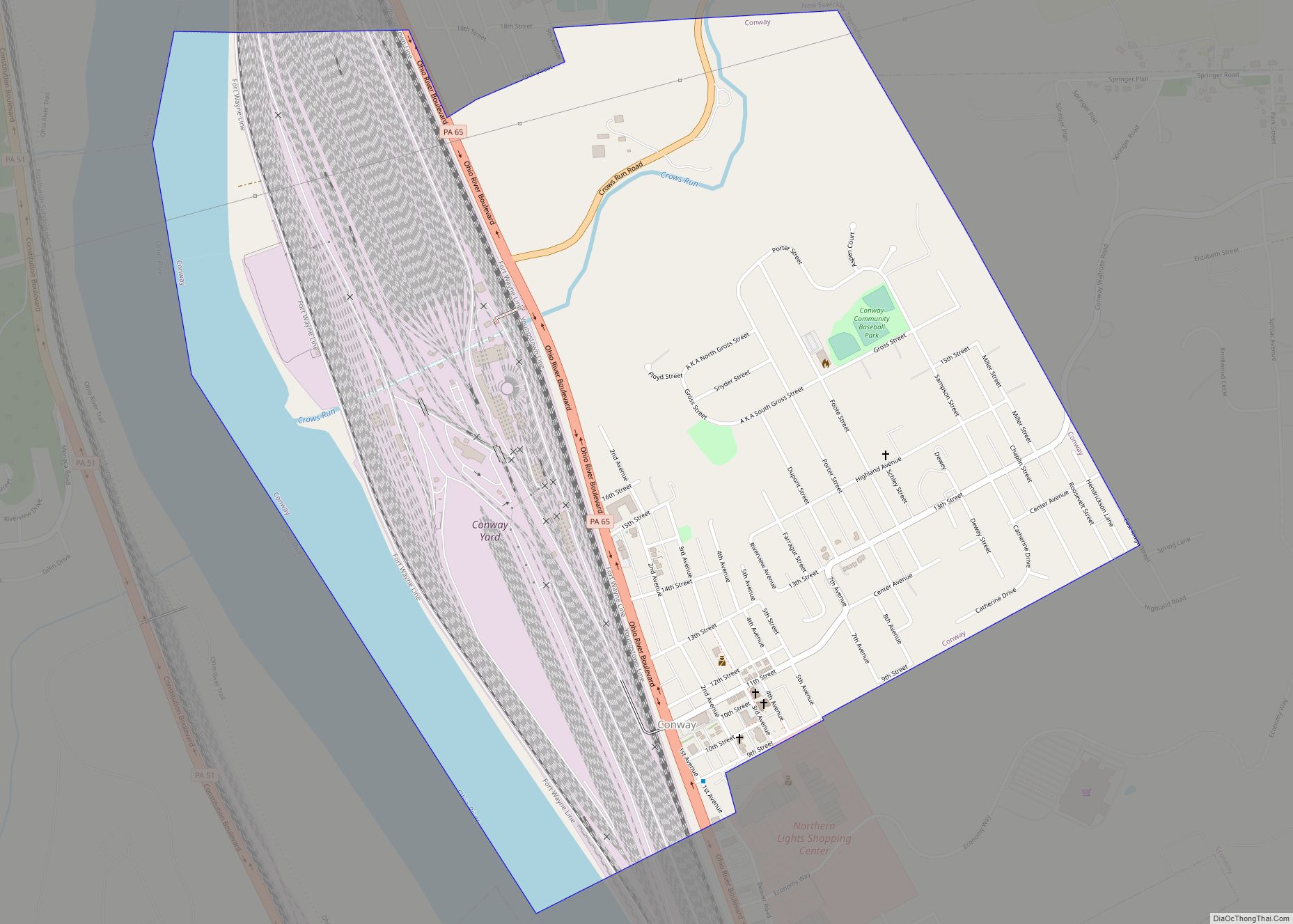
Ambridge Road Map
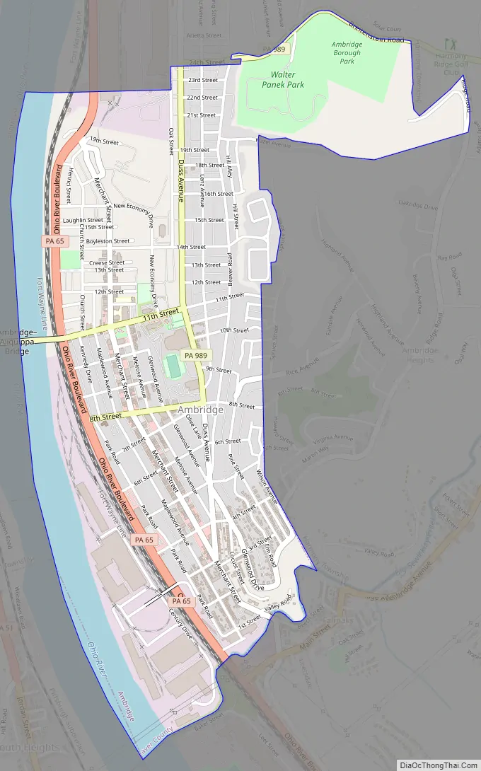
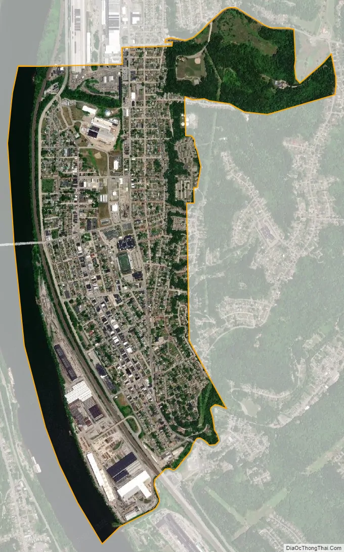
Ambridge city Satellite Map
Geography
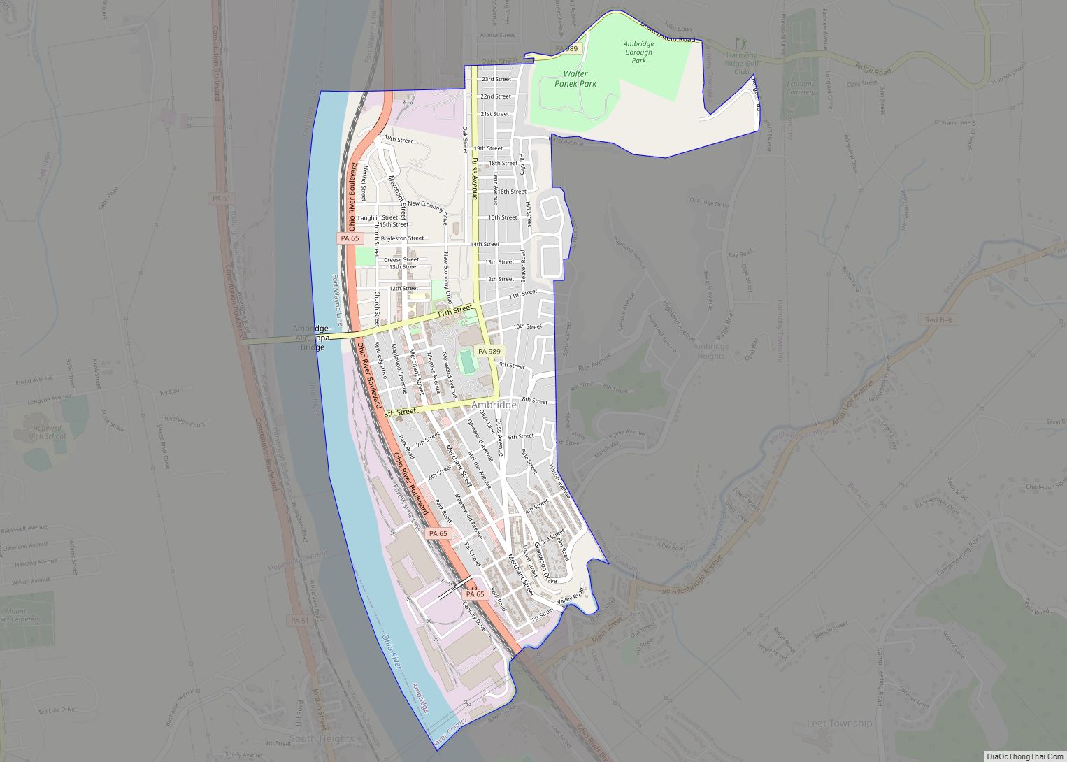
Ambridge is located at 40°35′35″N 80°13′31″W / 40.59306°N 80.22528°W / 40.59306; -80.22528 (40.593167, -80.225200), along the Ohio River.
According to the United States Census Bureau, the borough has a total area of 1.7 square miles (4.4 km), of which 1.5 square miles (3.9 km) is land and 0.2 square miles (0.5 km) (12.87%) is water.
Surrounding and adjacent neighborhoods
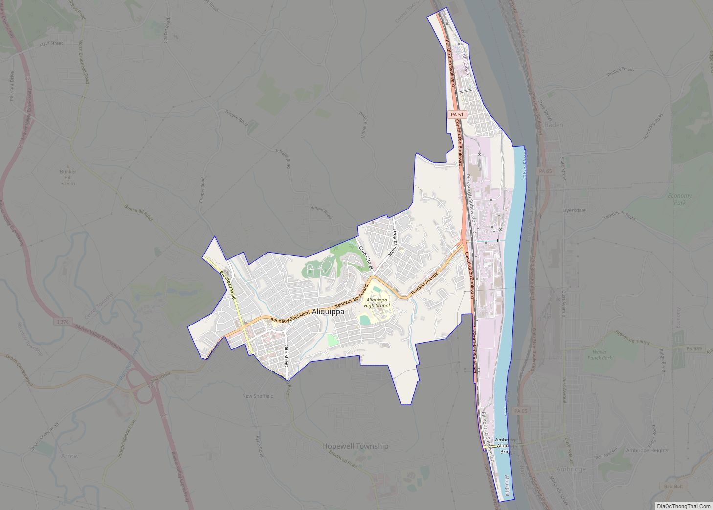
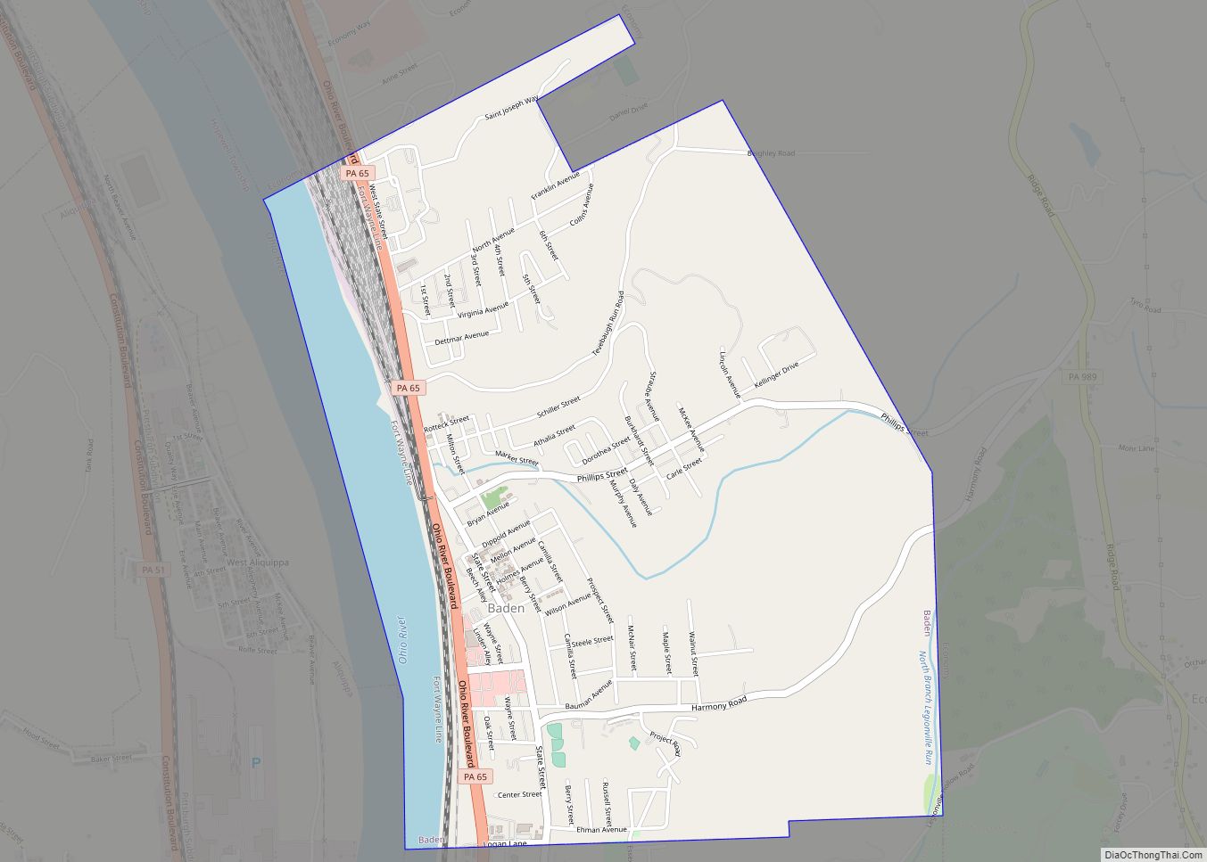
Ambridge has two land borders, including Harmony Township to the north, east and northeast, and the Allegheny County borough of Leetsdale to the southwest. The city of Aliquippa runs adjacent to Ambridge across the Ohio River to the west and is connected to the borough via Ambridge-Aliquippa Bridge.
See also
Map of Pennsylvania State and its subdivision:- Adams
- Allegheny
- Armstrong
- Beaver
- Bedford
- Berks
- Blair
- Bradford
- Bucks
- Butler
- Cambria
- Cameron
- Carbon
- Centre
- Chester
- Clarion
- Clearfield
- Clinton
- Columbia
- Crawford
- Cumberland
- Dauphin
- Delaware
- Elk
- Erie
- Fayette
- Forest
- Franklin
- Fulton
- Greene
- Huntingdon
- Indiana
- Jefferson
- Juniata
- Lackawanna
- Lancaster
- Lawrence
- Lebanon
- Lehigh
- Luzerne
- Lycoming
- Mc Kean
- Mercer
- Mifflin
- Monroe
- Montgomery
- Montour
- Northampton
- Northumberland
- Perry
- Philadelphia
- Pike
- Potter
- Schuylkill
- Snyder
- Somerset
- Sullivan
- Susquehanna
- Tioga
- Union
- Venango
- Warren
- Washington
- Wayne
- Westmoreland
- Wyoming
- York
- Alabama
- Alaska
- Arizona
- Arkansas
- California
- Colorado
- Connecticut
- Delaware
- District of Columbia
- Florida
- Georgia
- Hawaii
- Idaho
- Illinois
- Indiana
- Iowa
- Kansas
- Kentucky
- Louisiana
- Maine
- Maryland
- Massachusetts
- Michigan
- Minnesota
- Mississippi
- Missouri
- Montana
- Nebraska
- Nevada
- New Hampshire
- New Jersey
- New Mexico
- New York
- North Carolina
- North Dakota
- Ohio
- Oklahoma
- Oregon
- Pennsylvania
- Rhode Island
- South Carolina
- South Dakota
- Tennessee
- Texas
- Utah
- Vermont
- Virginia
- Washington
- West Virginia
- Wisconsin
- Wyoming