Altoona is a city in Blair County, Pennsylvania, United States. The population was 43,963 at the time of the 2020 census, making it the 18th-most populous city in Pennsylvania. It is the principal city of the Altoona metropolitan area, which includes all of Blair County and was recorded as having a population of 122,822 at the 2020 census.
Altoona was established in 1849 by the Pennsylvania Railroad. Having grown around the railroad industry, the city has worked to recover from industrial decline and urban decentralization experienced in recent decades. The city is home to the Altoona Curve baseball team of the Eastern League, which is the AA affiliate of the Pittsburgh Pirates Major League Baseball team. The Altoona Symphony Orchestra has called Altoona home since 1928. Prominent landmarks include the Horseshoe Curve, the Railroaders Memorial Museum, the Juniata Shops of the Altoona Works, the Mishler Theatre, the Cathedral of the Blessed Sacrament, and the Jaffa Shrine Center.
| Name: | Altoona city |
|---|---|
| LSAD Code: | 25 |
| LSAD Description: | city (suffix) |
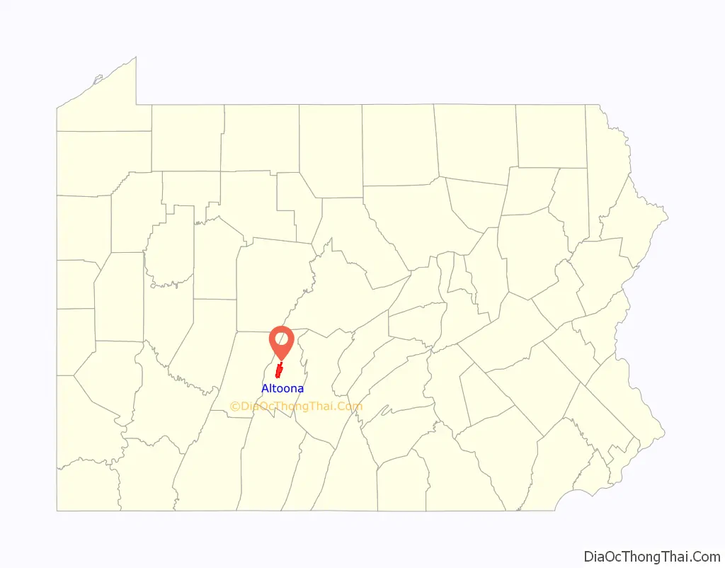
| State: | Pennsylvania |
| County: | Blair County |
| Founded: | 1849 |
| Elevation: | 1,161 ft (354 m) |
| Land Area: | 9.79 sq mi (25.36 km²) |
| Water Area: | 0.00 sq mi (0.00 km²) |
| Population Density: | 4,490.14/sq mi (1,733.67/km²) |
| Area code: | 814 |
| FIPS code: | 4202184 |
| GNISfeature ID: | 1214939 |
| Website: | www.altoonapa.gov |
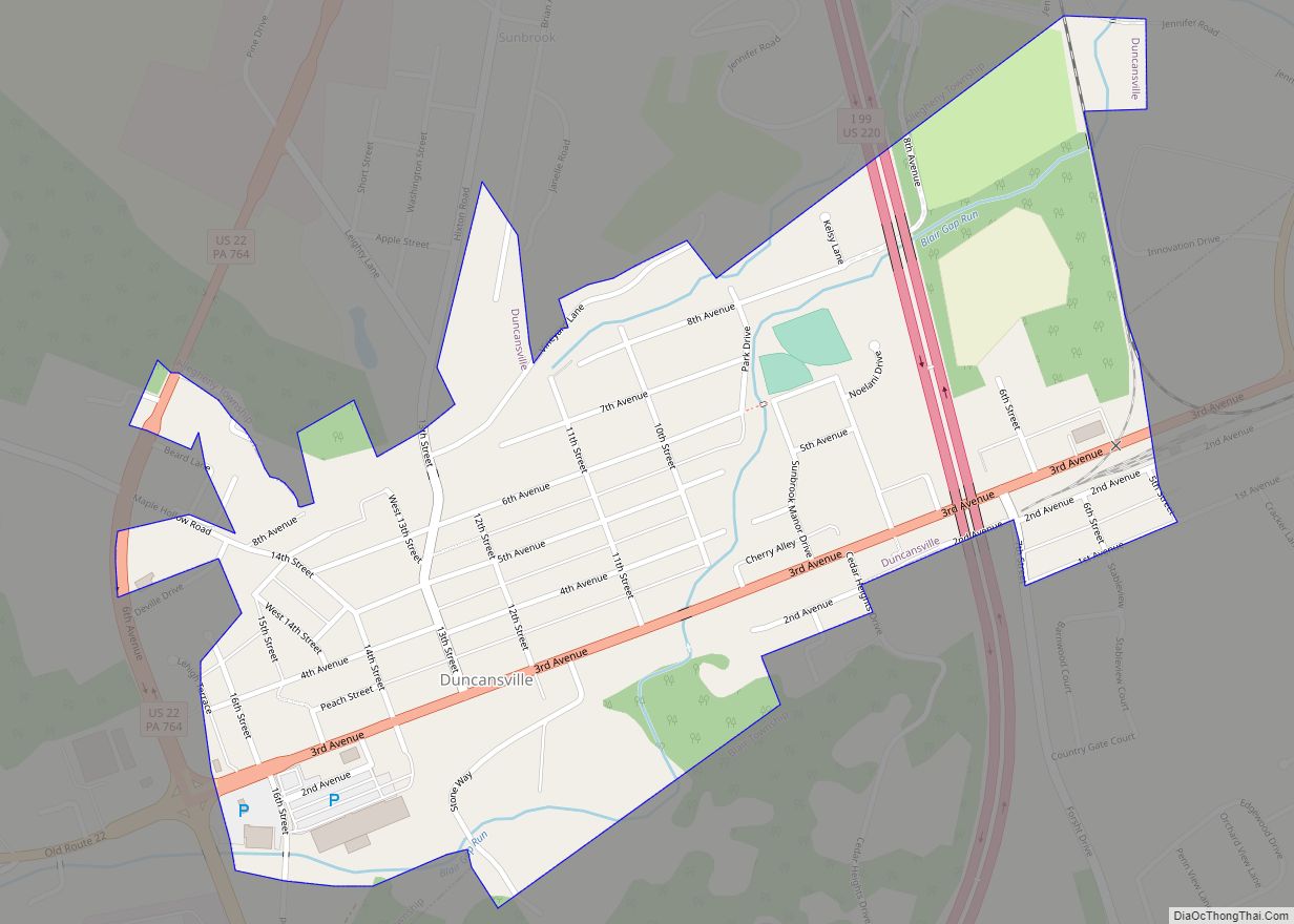
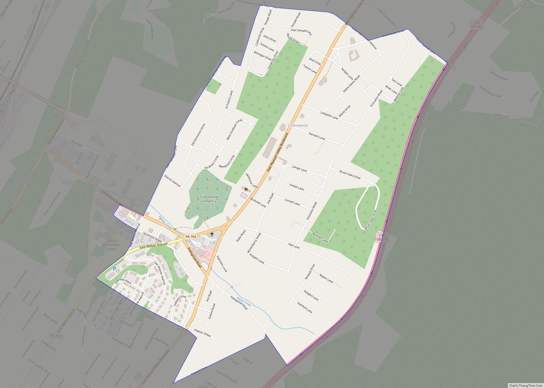
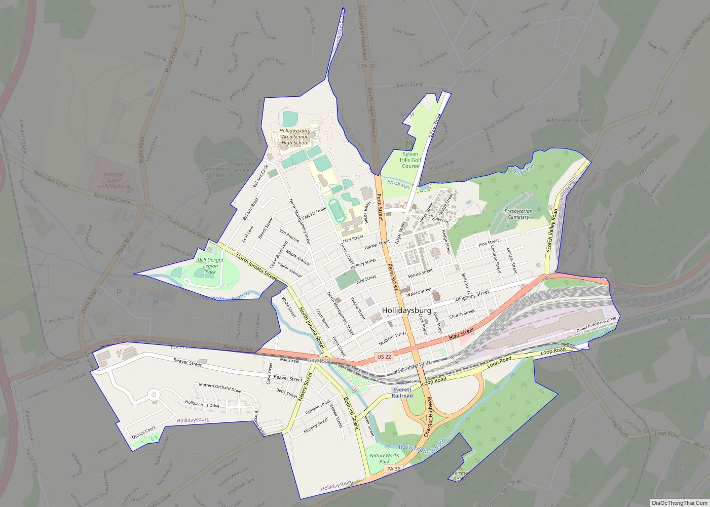
Online Interactive Map
Click on ![]() to view map in "full screen" mode.
to view map in "full screen" mode.
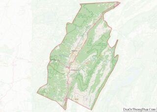
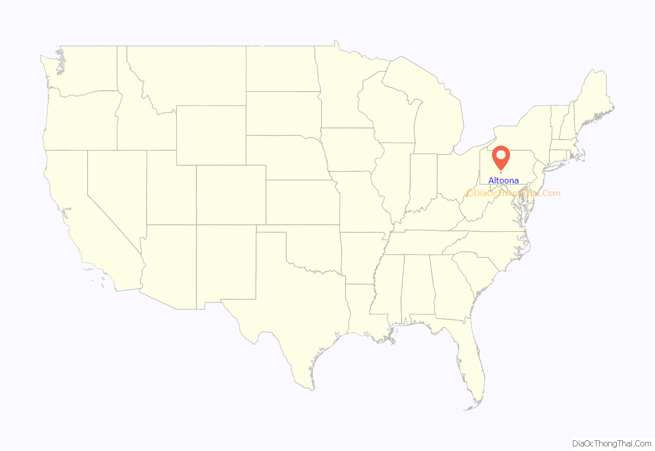
Altoona location map. Where is Altoona city?
History
Etymology
One explanation of the city’s name is that the word Altoona is a derivative of the Latin word altus, meaning high.
That explanation is contradicted by Pennsylvania Place Names. One history named a Colonel Beverly Mayer of Columbia, Pennsylvania, a civil engineer of the Pennsylvania Central Railway, as the person who named Altoona after the city of Altona in Danish Holstein, which became part of Germany in 1864. The German Altona, which is today a district of Hamburg, lies on the right bank of the Elbe and is an important railway and manufacturing center.
In 1849, David Robinson sold his farm to Archibald Wright of Philadelphia, who transferred the property to his son, John A. Wright, who laid it out in building lots, became one of the founders of Altoona, and is considered another person who may have named the city. According to his own statement, he had spent considerable time in the Cherokee country of Georgia. Here he had been attracted to the name Allatoona, which he believed meant “the high lands of great worth.” An 1883 publication favored the Cherokee derivation, stating that “Its name is not derived from the Latin word altus nor from the French word alto, as has frequently been asserted and published, but from the beautiful, liquid, and expressive Cherokee word Allatoona.”
For 60 days in 2011, the city officially changed its name to “POM Wonderful Presents: The Greatest Movie Ever Sold” in exchange for $25,000 as part of a marketing gimmick for the movie of the same name.
Founding and growth
Prior to European settlement, the Altoona area was inhabited by the Iroquois Confederacy. Altoona was founded by the Pennsylvania Railroad (PRR) in 1849 as the site for a shop and maintenance complex. Altoona was incorporated as a borough on February 6, 1854, and as a city under legislation approved on April 3, 1867, and February 8, 1868.
In late September 1862, Altoona was home to the War Governors’ Conference which brought together 13 governors of Union states. This body gave early approval to the Emancipation Proclamation. The town grew rapidly in the late 19th century, its population approximately 2,000 in 1854, 10,000 in 1870, and 20,000 in 1880. The demand for locomotives during the Civil War stimulated much of this growth, and by the later years of the war, Altoona was known as a valuable city for the North. Altoona was also the site of the first Interstate Commission meeting to create and design the Gettysburg National Cemetery following the devastating Battle of Gettysburg. The centrality and convenience of the town’s rail transportation brought these two important gatherings to the city during the war.
Horseshoe Curve
Horseshoe Curve, a curved section of track built by the Pennsylvania Railroad, has become a tourist attraction and National Historic Landmark. The curve was built to help trains cross the Allegheny Ridge, a barrier to westward trade. Construction of the Erie Canal in New York 20 years earlier had diverted much port traffic from Philadelphia to New York City, feeding that city’s commercial dominance. Because the curve was an industrial link to the western United States, Horseshoe Curve was a primary target of eight Nazi saboteurs who had landed during World War II from U-boats of Nazi Germany’s Kriegsmarine during Operation Pastorius.
At its peak in the early 20th century, PRR’s Altoona Works complex employed about 15,000 people and covered three miles (5 km) in length, 218 acres (88 ha) of yards and 37 acres (15 ha) of indoor workshop floor space in 122 buildings. The PRR built 7,873 of its own locomotives at the Works, the last in 1946. PRR shaped the city, creating the city’s fire departments and moving the hospital to a site nearer to the shop’s gates. Today, the fire department employs 65 people and is the largest career department between Harrisburg and Pittsburgh. PRR sponsored a city band and constructed Cricket Field (a sports complex). In 1853, the PRR built the Mechanic’s Library, the first industrial library in the nation which exists today as the Altoona Area Public Library. With the decline in railroad demand after World War II, things began to decline. Many treasures of the city’s history disappeared, including the Logan House Hotel and railroad shops.
Horseshoe Curve remains a popular tourist attraction. There is a funicular that takes visitors to a viewing area, or it can be reached by climbing 194 steps.
1949 tornado
On May 22, 1949, at about 6 pm, a tornado moved through the southern part of Altoona. According to the Altoona Mirror, the tornado touched down near Sugar Run Road in the Canan Station area of Allegheny Township and cut a 100-yard (91 m) swath of destruction through the southwestern portion of Altoona. Houses lost shingles and there was extensive tree damage in the Eldorado and Llyswen sections of town. H
Another tornado touched down in Morrisons Cove, 20 miles (32 km) south of Altoona. Houses were unroofed and barns were destroyed in the Henrietta and Millerstown area. A 17-year-old girl was injured in Henrietta. The damage done by these tornadoes is consistent with winds of 105–110 miles per hour (169–177 km/h).
A map made by Dr. Ted Fujita in 1974 of all of the tornadoes in the U.S. between 1930 and 1974 shows these two tornadoes mapped as F1 tornadoes on the Fujita Scale.
Present
Altoona is one of the dual seats of the Roman Catholic Diocese of Altoona–Johnstown. The Cathedral of the Blessed Sacrament was made a cathedral and rechristened from St. John’s Church in 1851.
The Altoona Mirror newspaper, founded in 1876 by Harry Slep, is Altoona’s oldest media outlet. Today, the newspaper has a daily circulation of 32,000 and a Sunday circulation of 39,000. Approximately 13,000 people read the online edition of the newspaper each day.
Altoona is home to the world’s oldest wooden roller coaster, the Leap-The-Dips, located in Lakemont Park.
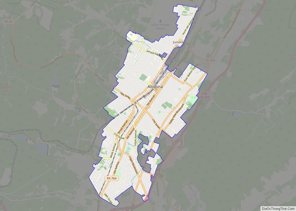
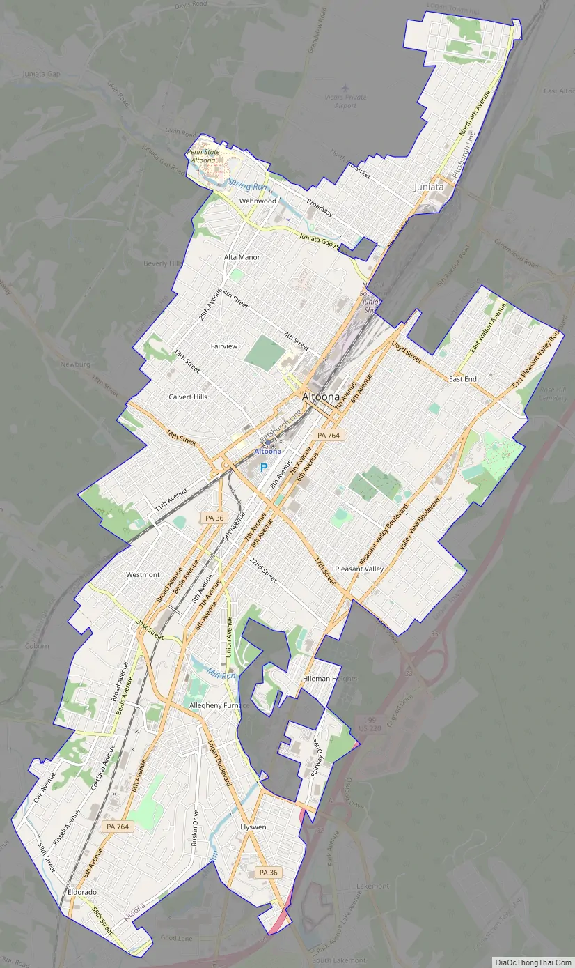
Altoona Road Map
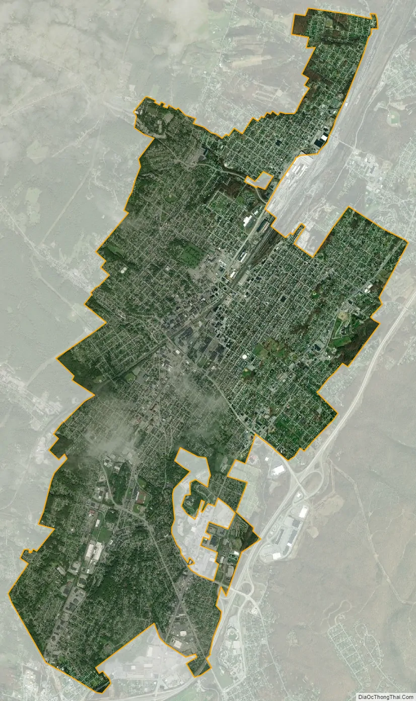
Altoona city Satellite Map
Geography
Altoona lies at the base of Brush Mountain within Logan Valley and Pleasant Valley. According to the United States Census Bureau, the city has a total area of 9.8 square miles (25.4 km), all land. Altoona is situated in the Allegheny Mountains.
Neighborhoods
The main sections of Altoona are the Downtown, Center City, Logantown, Fairview, Juniata, Wehnwood, Calvert Hills, 5th Ward, Westmont, Eldorado, East End, Dutch Hill, Pleasant Valley, Hileman Heights, 6th Ward, Mansion Park, Llyswen, Garden Heights, and Highland Park. Some significant neighborhoods are Little Italy, Gospel Hill, Toy Town, Columbia Park, Knickerbockers, and Curtin. Some areas within Logan Township, outside the city limits but still considered sections of Altoona, are Lakemont, Greenwood, Bellmeade, Westfall, Newburg, and Red Hill. Many of the older districts consist of a mix of rowhouses and individual homes, which were a common building style in railroad towns so-as to provide for worker and manager housing, respectively.
The downtown is the cultural and commercial center of Altoona and straddles the famous railroads. As is typical to a traditional city layout, the downtown is centrally located and contains significant development in all directions. Much of the area is listed on the National Register of Historic Places as the Downtown Altoona Historic District. Popular landmarks include the Mishler Theatre, the Penn Alto Building (formerly the Penn Alto Hotel), the Gable’s Building, City Hall, the Cathedral of the Blessed Sacrament, and Eleventh Avenue itself.
Altoona has several notable churches, including the Cathedral of the Blessed Sacrament at the corner of 13th Street and 13th Avenue, the building on the corner of 12th Street and 14th Avenue that used to house the First Presbyterian Church, and the First Lutheran Church on the corner of 14th Street and 12th Avenue. The Station Medical Center, formerly known as the Station Mall, was a downtown mall built during the 1970s in place of many old railroad shops. The downtown contains most of what is known as Altoona’s Little Italy district.
Because of the geography of the area, exact or natural boundaries for Downtown are not present. Therefore, Downtown is generally defined by what the city has zoned as Central Business: between 13th Avenue and the PRR Expressway, and from 7th Street to 16th Street. However, it is common for areas within Logantown and Center City to be expressed locally as “downtown”.
The Texas Hot Dog was originally created in downtown Altoona in 1918, although the Paterson, New Jersey, Texas Hot Dog location, which opened in 1924, is more famous.
The commercial core of the downtown includes many multistory residential, commercial, and mixed-use facilities designed at the turn of the 20th century in a mix of Victorian, Edwardian Baroque, and Neo-Romanesque styles. This style features high ceilings, resulting in taller buildings than is typical for the number of floors. The high ceilings are typically made of either tin or plaster, although sometimes a drop ceiling is utilized.
Individual homes originally provided housing to managers and executives of the PRR and have structural similarities to Victorian or Edwardian mansions, but built very narrow and tall. These are sometimes used as double or triple family apartments or even converted into commercial space. Outside of the commercial core is a mosaic of multistory commercial structures, mixed-use facilities, single story commercial structures, apartment buildings, multi-unit housing, and single-family homes.
The U.S. post office in Altoona contains two oil-on-canvas WPA-commissioned murals painted by Lorin Thompson in 1938, titled Pioneers of Altoona and Growth of the Road. Murals were produced from 1934 to 1943 in the United States through the Section of Painting and Sculpture, later called the Section of Fine Arts, of the Treasury Department.
Climate
Under the Köppen climate classification, Altoona falls within either a hot-summer humid continental climate (Dfa) if the 0 °C (32 °F) isotherm is used or a humid subtropical climate (Cfa) if the −3 °C (27 °F) isotherm is used. Summers are hot and winters are moderately cold with wide variations in temperature. The monthly daily average temperature ranges from 28.4 °F (−2.0 °C) in January to 72.4 °F (22.4 °C) in July, although extremes in temperature have ranged from −25 °F (−32 °C) in 1904 to 103 °F (39 °C) in 2011. Total precipitation is greatest in September and least in February.
See also
Map of Pennsylvania State and its subdivision:- Adams
- Allegheny
- Armstrong
- Beaver
- Bedford
- Berks
- Blair
- Bradford
- Bucks
- Butler
- Cambria
- Cameron
- Carbon
- Centre
- Chester
- Clarion
- Clearfield
- Clinton
- Columbia
- Crawford
- Cumberland
- Dauphin
- Delaware
- Elk
- Erie
- Fayette
- Forest
- Franklin
- Fulton
- Greene
- Huntingdon
- Indiana
- Jefferson
- Juniata
- Lackawanna
- Lancaster
- Lawrence
- Lebanon
- Lehigh
- Luzerne
- Lycoming
- Mc Kean
- Mercer
- Mifflin
- Monroe
- Montgomery
- Montour
- Northampton
- Northumberland
- Perry
- Philadelphia
- Pike
- Potter
- Schuylkill
- Snyder
- Somerset
- Sullivan
- Susquehanna
- Tioga
- Union
- Venango
- Warren
- Washington
- Wayne
- Westmoreland
- Wyoming
- York
- Alabama
- Alaska
- Arizona
- Arkansas
- California
- Colorado
- Connecticut
- Delaware
- District of Columbia
- Florida
- Georgia
- Hawaii
- Idaho
- Illinois
- Indiana
- Iowa
- Kansas
- Kentucky
- Louisiana
- Maine
- Maryland
- Massachusetts
- Michigan
- Minnesota
- Mississippi
- Missouri
- Montana
- Nebraska
- Nevada
- New Hampshire
- New Jersey
- New Mexico
- New York
- North Carolina
- North Dakota
- Ohio
- Oklahoma
- Oregon
- Pennsylvania
- Rhode Island
- South Carolina
- South Dakota
- Tennessee
- Texas
- Utah
- Vermont
- Virginia
- Washington
- West Virginia
- Wisconsin
- Wyoming