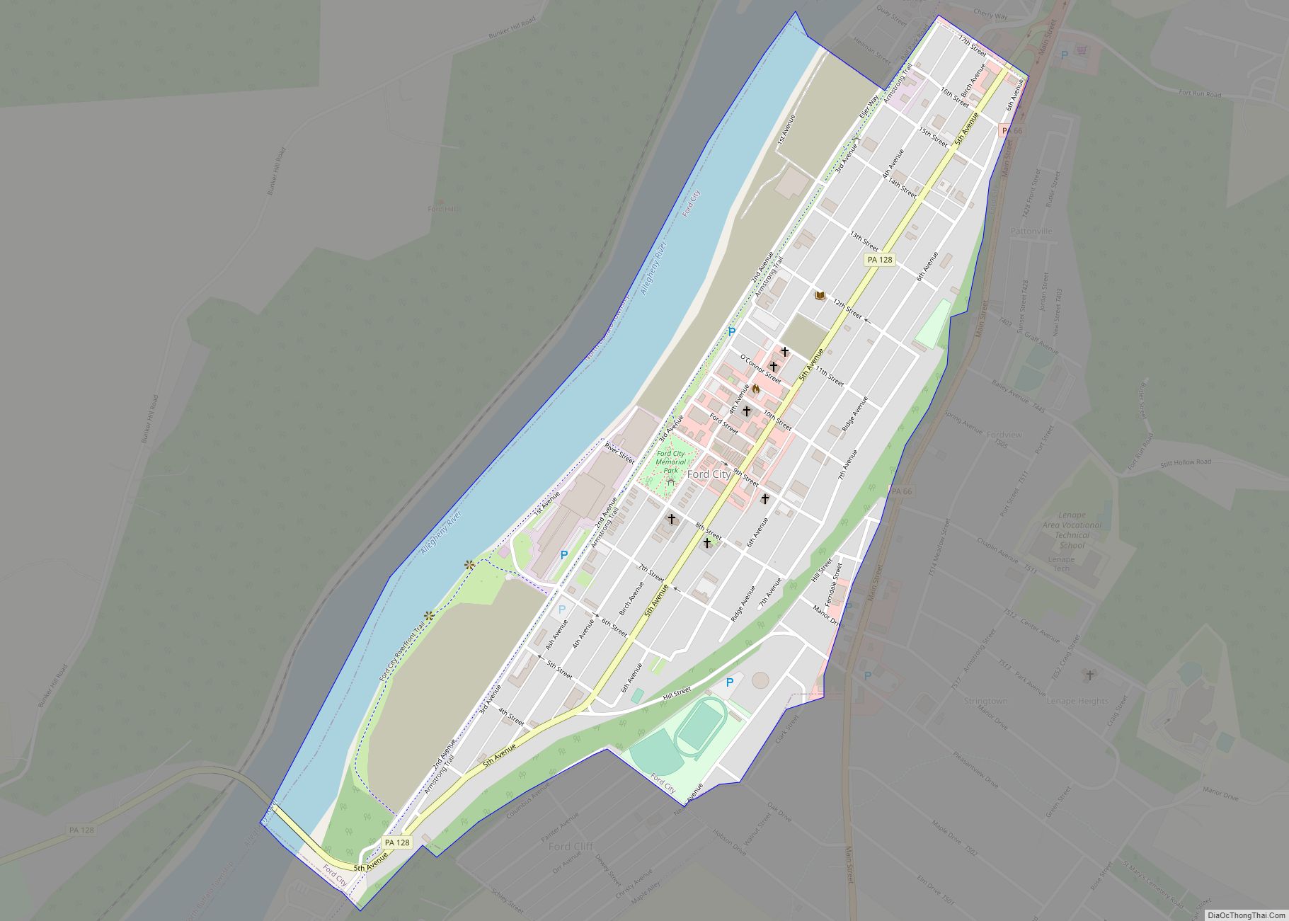
Ford City is a borough in Armstrong County, Pennsylvania, United States, 40 miles (64 km) northeast of Pittsburgh along the east bank of the Allegheny River and 4 miles (6 km) south of Kittanning, the county seat. The population was 2,859 at the 2020 census. It is part of the Pittsburgh metropolitan area. Ford City borough overview: ... Read more
Pennsylvania Cities and Places
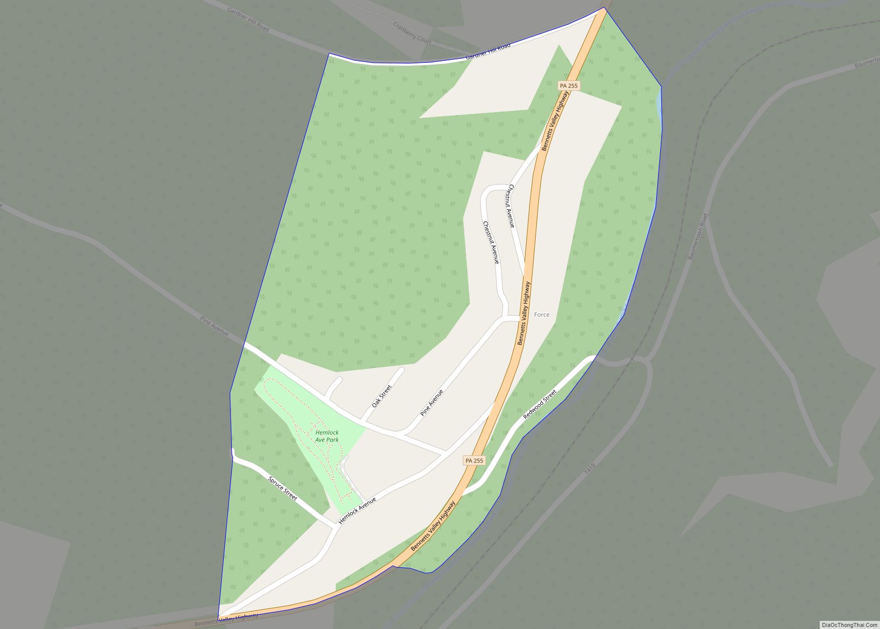
Force is an unincorporated community and census-designated place in Jay Township, Elk County, Pennsylvania, United States. As of the 2010 census it had a population of 253. It is located on Pennsylvania Route 255 between St. Marys and Penfield. The community has the name of Jack Force, a frontiersman. Force CDP overview: Name: Force CDP ... Read more
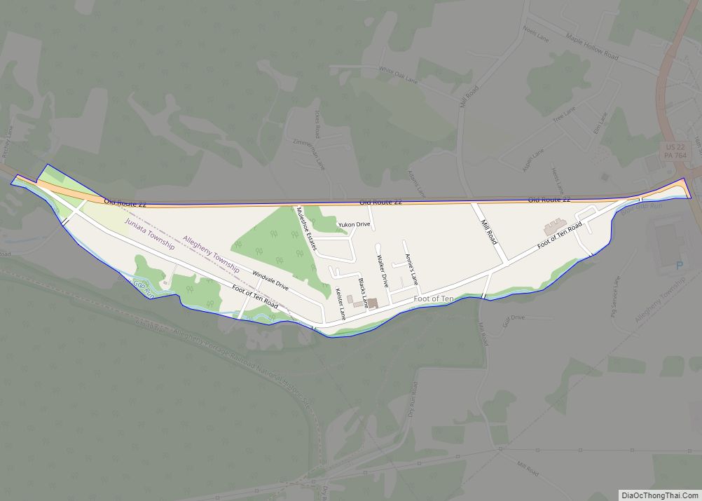
Foot of Ten is a census-designated place in Allegheny and Juniata Townships in Blair County, Pennsylvania, United States. It is located approximately one mile west of the small borough Duncansville on Foot of Ten Road, and about 2.5 miles (4 km) north of the even smaller borough Newry. It is often considered a region of Duncansville, ... Read more
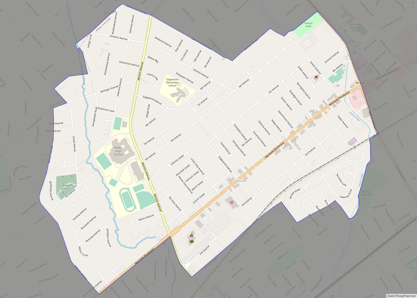
Folsom is a census-designated place (CDP) in Delaware County, Pennsylvania, United States. It is part of Ridley Township. The population was 8,323 at the 2010 census. Folsom CDP overview: Name: Folsom CDP LSAD Code: 57 LSAD Description: CDP (suffix) State: Pennsylvania County: Delaware County Elevation: 102 ft (31 m) Total Area: 1.25 sq mi (3.24 km²) Land Area: 1.25 sq mi (3.24 km²) ... Read more
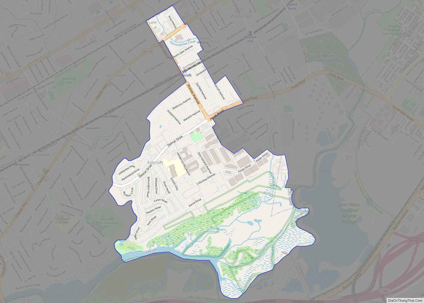
Folcroft is a borough in Delaware County, Pennsylvania, United States. The population was 6,606 at the 2010 census, down from 6,978 at the 2000 census. Folcroft borough overview: Name: Folcroft borough LSAD Code: 21 LSAD Description: borough (suffix) State: Pennsylvania County: Delaware County Elevation: 33 ft (10 m) Total Area: 1.42 sq mi (3.68 km²) Land Area: 1.25 sq mi (3.23 km²) Water ... Read more
Flying Hills is a census-designated place (CDP) in Cumru Township, Berks County, Pennsylvania. The population was 2,568 as of the 2010 census. Flying Hills CDP overview: Name: Flying Hills CDP LSAD Code: 57 LSAD Description: CDP (suffix) State: Pennsylvania County: Berks County Elevation: 410 ft (120 m) Total Area: 0.52 sq mi (1.34 km²) Land Area: 0.51 sq mi (1.33 km²) Water Area: ... Read more
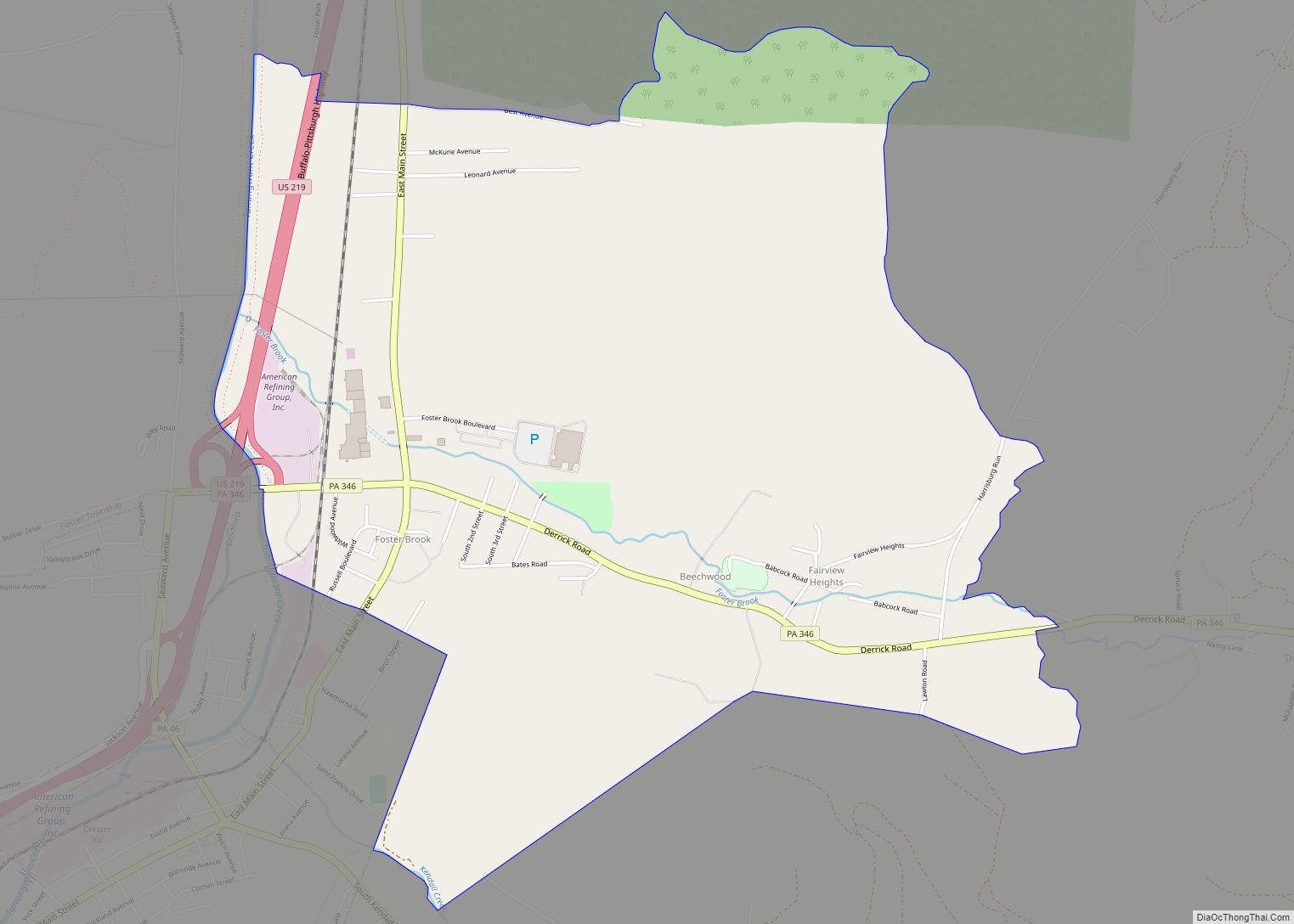
Foster Brook is a census-designated place in Foster Township, McKean County in the state of Pennsylvania, United States. The community is just north of Bradford, along Pennsylvania Route 346. As of the 2010 census the population was 1,251 residents. Foster Brook CDP overview: Name: Foster Brook CDP LSAD Code: 57 LSAD Description: CDP (suffix) State: ... Read more
Forty Fort is a borough in Luzerne County, Pennsylvania, United States. The population was 4,233 at the 2020 census. Its neighbors are Wyoming (to the north), Plains Township (to the east), Kingston (to the south), and Swoyersville (to the west). The Wilkes-Barre Wyoming Valley Airport and the Wyoming Seminary Lower School are both located in ... Read more
Fort Washington is a census-designated place and suburb of Philadelphia in Montgomery County, Pennsylvania, United States. The population was 5,446 at the 2010 census. Fort Washington CDP overview: Name: Fort Washington CDP LSAD Code: 57 LSAD Description: CDP (suffix) State: Pennsylvania County: Montgomery County Elevation: 233 ft (71 m) Total Area: 3.25 sq mi (8.43 km²) Land Area: 3.25 sq mi (8.43 km²) ... Read more
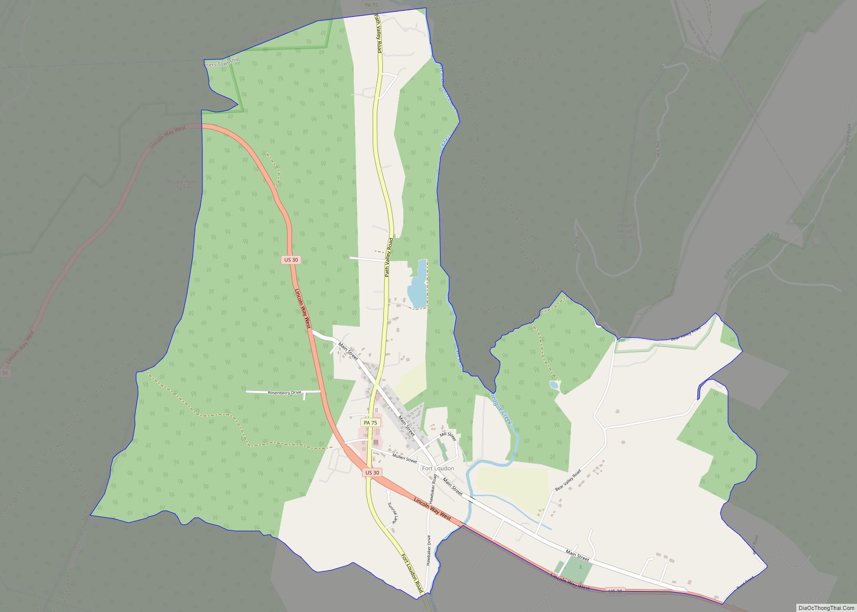
Fort Loudon (CDP) is an unincorporated community and census-designated place (CDP) in Peters Township, Franklin County, Pennsylvania, United States. As of the 2020 census, the population was 895. Fort Loudon CDP overview: Name: Fort Loudon CDP LSAD Code: 57 LSAD Description: CDP (suffix) State: Pennsylvania County: Franklin County Elevation: 635 ft (194 m) Total Area: 4.26 sq mi (11.03 km²) ... Read more
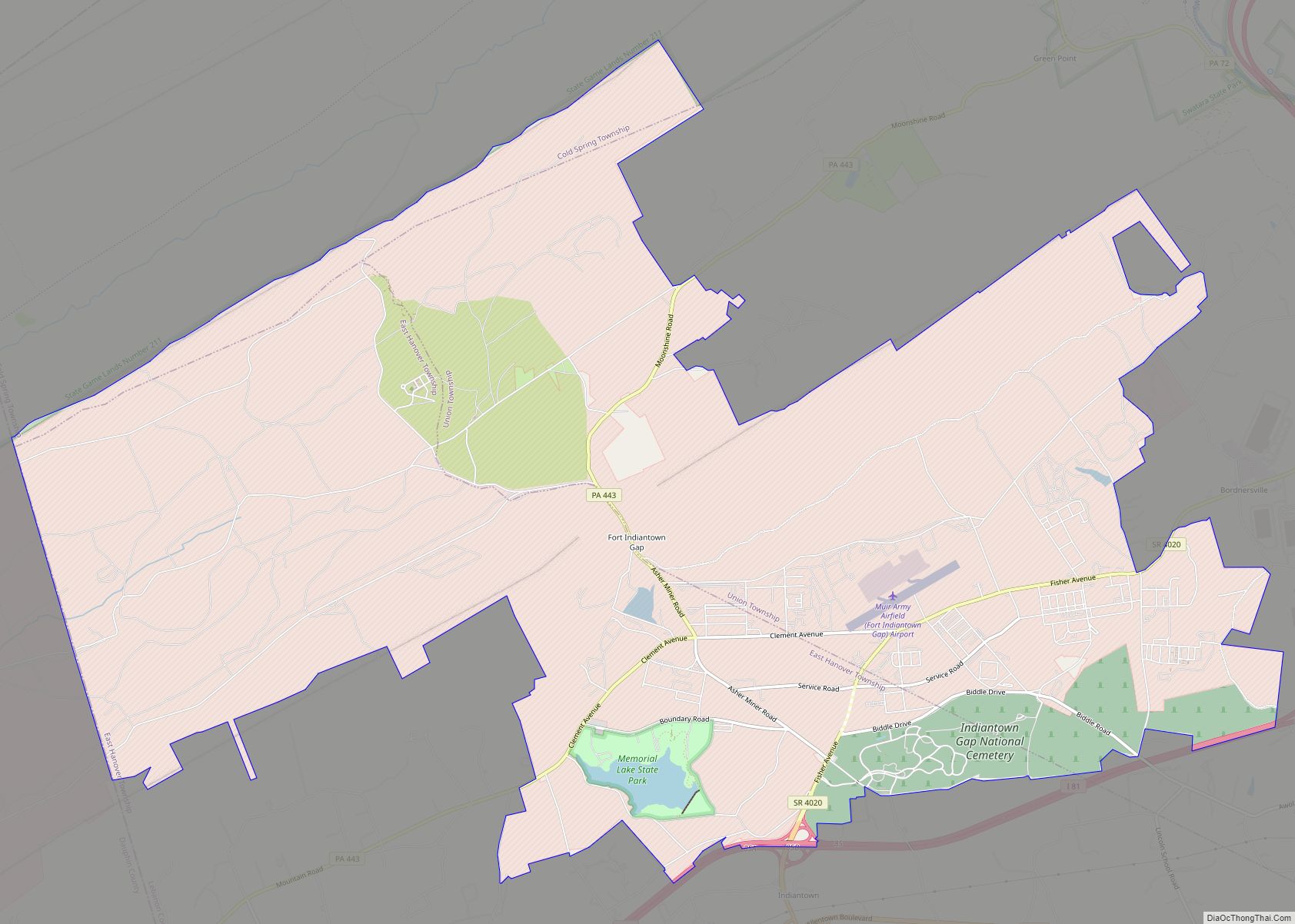
Fort Indiantown Gap, also referred to as “The Gap” or “FIG”, is a census-designated place and National Guard Training Center primarily located in Lebanon County, Pennsylvania, United States. A portion of the installation is located in eastern Dauphin County. It is located adjacent to Interstate 81, 23 miles (37 km) northeast of Harrisburg, just north of ... Read more
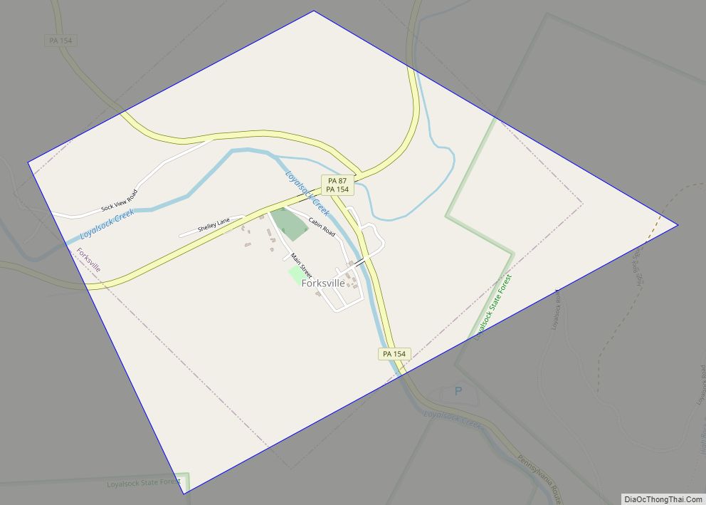
Forksville is a borough in Sullivan County, Pennsylvania, United States. The population was 110 at the 2020 census. It is the home of the 150-year-old Forksville General Store, down the road from the Sullivan County Fairgrounds, and near Worlds End State Park. The name comes from the confluence of Little Loyalsock Creek and Loyalsock Creek ... Read more