Forty Fort is a borough in Luzerne County, Pennsylvania, United States. The population was 4,233 at the 2020 census. Its neighbors are Wyoming (to the north), Plains Township (to the east), Kingston (to the south), and Swoyersville (to the west). The Wilkes-Barre Wyoming Valley Airport and the Wyoming Seminary Lower School are both located in the borough.
| Name: | Forty Fort borough |
|---|---|
| LSAD Code: | 21 |
| LSAD Description: | borough (suffix) |
| State: | Pennsylvania |
| County: | Luzerne County |
| Incorporated: | 1887 |
| Total Area: | 1.52 sq mi (3.93 km²) |
| Land Area: | 1.30 sq mi (3.38 km²) |
| Water Area: | 0.21 sq mi (0.55 km²) |
| Total Population: | 4,239 |
| Population Density: | 3,248.28/sq mi (1,253.71/km²) |
| Area code: | 570 |
| FIPS code: | 4226880 |
| Website: | www.fortyfort.org |
Online Interactive Map
Click on ![]() to view map in "full screen" mode.
to view map in "full screen" mode.
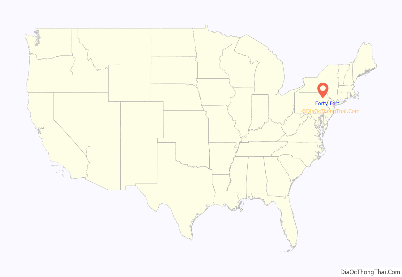
Forty Fort location map. Where is Forty Fort borough?

History
Revolutionary War
In 1770, forty settlers from Westmoreland County, Connecticut, established a fort along the Susquehanna River in the area now known as Forty Fort Borough. Before the American Revolutionary War, both Connecticut and Pennsylvania claimed this territory, as Connecticut laid claim to a wide swath of land to its west based on its colonial charter. These competing claims triggered the Pennamite-Yankee Wars but were resolved after the Revolutionary War when the federal government awarded the contested territory to Pennsylvania.
During the Revolutionary War, a force of Loyalist soldiers and Haudenosaunee warriors arrived in the Wyoming Valley on June 30, 1778. On July 1, Fort Wintermoot and Fort Jenkins surrendered. Demands for Forty Fort to surrender were rebuked. On July 3, roughly 300 Patriot militia and 60 Continentals under the command of Lieutenant Colonel Zebulon Butler sallied from Forty Fort. In the ensuing Battle of Wyoming, commonly known as the Wyoming Massacre, about 300 Americans were killed.
The next morning, July 4, Lieutenant Colonel Nathan Denison agreed to surrender Forty Fort and two smaller forts, along with what remained of the militia. The Loyalist commander paroled them on their promise to take no part in further hostilities. None of the inhabitants were injured after the surrender, although some had their personal effects plundered. In 1900, a large stone was placed at the end of Fort Street, in Forty Fort Borough, by the Daughters of the American Revolution to mark the approximate location of Forty Fort.
Post-Revolutionary War
In the years following the Revolutionary War, Forty Fort became home to both the Nathan Denison House (built around 1790) and the Forty Fort Meetinghouse (built in 1806–08), which is located in the borough’s cemetery. Forty Fort was officially incorporated as a borough in 1887. The borough later became home to the Lower School of the Wyoming Seminary and a portion of the southern end of the Wilkes-Barre Wyoming Valley Airport.
Flooding
In June 1972, Hurricane Agnes caused the Susquehanna River to overflow its banks. In Forty Fort, a portion of the levee protecting the town broke. This caused millions of dollars in damage to Forty Fort and the surrounding communities. In addition to structural damage, the Forty Fort Cemetery was heavily affected when over 2,000 caskets were washed away. Recovered bodies were eventually buried in a mass grave with a monument marking the 1972 flood’s damage. In September 2011, the borough’s levee system was once again put to the test when Tropical Storm Lee caused severe flooding throughout the Wyoming Valley. However, this time the levee held, and the town was preserved from the catastrophe it witnessed in 1972.
Denison House
Forty Fort Meetinghouse
US 11 in Forty Fort (circa 1940)
Forty Fort Road Map

Forty Fort city Satellite Map

Geography
According to the United States Census Bureau, the borough has a total area of 1.6 square miles (4.1 km), of which 1.3 square miles (3.4 km) is land and 0.27 square miles (0.7 km) of it, or 16.58%, is water. Forty Fort hugs the western bank of the Susquehanna River just north of Wilkes-Barre. Its neighbors are Wyoming (to the north), Plains Township (to the east), Kingston (to the south), and Swoyersville (to the west). Forty Fort is built on a floodplain and is protected by a levee system. In the 1972 flood, the levee broke and the neighboring Susquehanna River flooded much of the town. During the 2011 flood, the levee system was once again put to the test. However, this time it held, and the borough was preserved.
See also
Map of Pennsylvania State and its subdivision:- Adams
- Allegheny
- Armstrong
- Beaver
- Bedford
- Berks
- Blair
- Bradford
- Bucks
- Butler
- Cambria
- Cameron
- Carbon
- Centre
- Chester
- Clarion
- Clearfield
- Clinton
- Columbia
- Crawford
- Cumberland
- Dauphin
- Delaware
- Elk
- Erie
- Fayette
- Forest
- Franklin
- Fulton
- Greene
- Huntingdon
- Indiana
- Jefferson
- Juniata
- Lackawanna
- Lancaster
- Lawrence
- Lebanon
- Lehigh
- Luzerne
- Lycoming
- Mc Kean
- Mercer
- Mifflin
- Monroe
- Montgomery
- Montour
- Northampton
- Northumberland
- Perry
- Philadelphia
- Pike
- Potter
- Schuylkill
- Snyder
- Somerset
- Sullivan
- Susquehanna
- Tioga
- Union
- Venango
- Warren
- Washington
- Wayne
- Westmoreland
- Wyoming
- York
- Alabama
- Alaska
- Arizona
- Arkansas
- California
- Colorado
- Connecticut
- Delaware
- District of Columbia
- Florida
- Georgia
- Hawaii
- Idaho
- Illinois
- Indiana
- Iowa
- Kansas
- Kentucky
- Louisiana
- Maine
- Maryland
- Massachusetts
- Michigan
- Minnesota
- Mississippi
- Missouri
- Montana
- Nebraska
- Nevada
- New Hampshire
- New Jersey
- New Mexico
- New York
- North Carolina
- North Dakota
- Ohio
- Oklahoma
- Oregon
- Pennsylvania
- Rhode Island
- South Carolina
- South Dakota
- Tennessee
- Texas
- Utah
- Vermont
- Virginia
- Washington
- West Virginia
- Wisconsin
- Wyoming


