Map of Georgetown CDP, Pennsylvania
Georgetown is a census-designated place (CDP) in Wilkes-Barre Township, Luzerne County, Pennsylvania, United States, adjacent to the city of Wilkes-Barre. The CDP population was 1,640 at the 2010 census. Georgetown CDP overview: Name: Georgetown CDP LSAD Code: 57 LSAD Description: CDP (suffix) State: Pennsylvania County: Luzerne County Total Area: 0.7 sq mi (1.9 km²) Land Area: 0.7 sq mi (1.9 km²) ... Read more
Map of Georgetown CDP, Pennsylvania
Map of Geneva CDP, Pennsylvania
Geneva is a census-designated place in Crawford County, Pennsylvania, United States. The population was 109 at the 2010 census. Geneva CDP overview: Name: Geneva CDP LSAD Code: 57 LSAD Description: CDP (suffix) State: Pennsylvania County: Crawford County Elevation: 1,134 ft (346 m) Total Area: 0.22 sq mi (0.56 km²) Land Area: 0.22 sq mi (0.56 km²) Water Area: 0.00 sq mi (0.00 km²) Total Population: 121 ... Read more
Map of Geneva CDP, Pennsylvania
Map of Glasgow borough, Pennsylvania
Glasgow is a borough in Beaver County, Pennsylvania, United States, along the Ohio River. The population was 71 at the 2020 census. The borough was named after Glasgow, in Scotland. Glasgow borough overview: Name: Glasgow borough LSAD Code: 21 LSAD Description: borough (suffix) State: Pennsylvania County: Beaver County Incorporated: 1854 Elevation: 732 ft (223 m) Total Area: ... Read more
Map of Glasgow borough, Pennsylvania
Map of Girardville borough
Girardville is a borough in Schuylkill County, Pennsylvania, United States, 58 miles (93 km) northwest of Reading. Anthracite coal deposits are in the region. Coal-mining provided employment and incomes for many of the 3,666 people who lived there in 1900. In 1910, 4,396 individuals called it home. The population was 1,519 at the 2010 census. It ... Read more
Map of Girardville borough
Map of Girard borough, Pennsylvania
Girard is a borough in Erie County, Pennsylvania, United States. The population was 2,994 at the 2020 census. It is part of the Erie Metropolitan Statistical Area. Girard borough overview: Name: Girard borough LSAD Code: 21 LSAD Description: borough (suffix) State: Pennsylvania County: Erie County Total Area: 2.36 sq mi (6.12 km²) Land Area: 2.34 sq mi (6.07 km²) Water Area: ... Read more
Map of Girard borough, Pennsylvania
Map of Gilbertsville CDP, Pennsylvania
Xavier is a census-designated place (CDP) in Douglass Township in northwestern Montgomery County, Pennsylvania, United States. It is located at the junction of Routes 73 and 100. The population was 4,832 at the 2010 census, and the ZIP code is 19525. The name is also applied to an indeterminate adjacent section of New Hanover Township ... Read more
Map of Gilbertsville CDP, Pennsylvania
Map of Gilberton borough
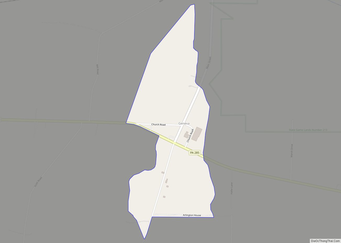
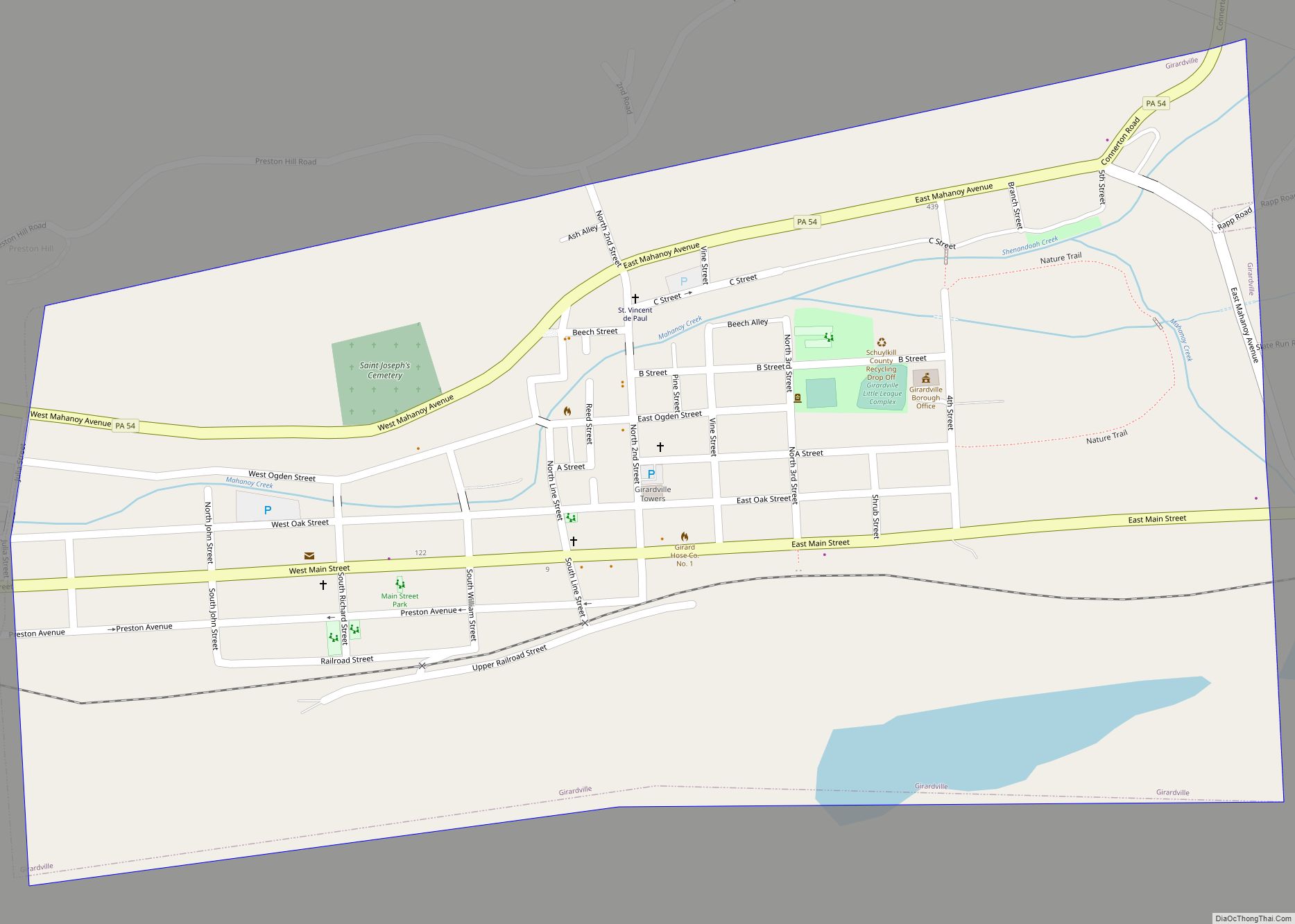
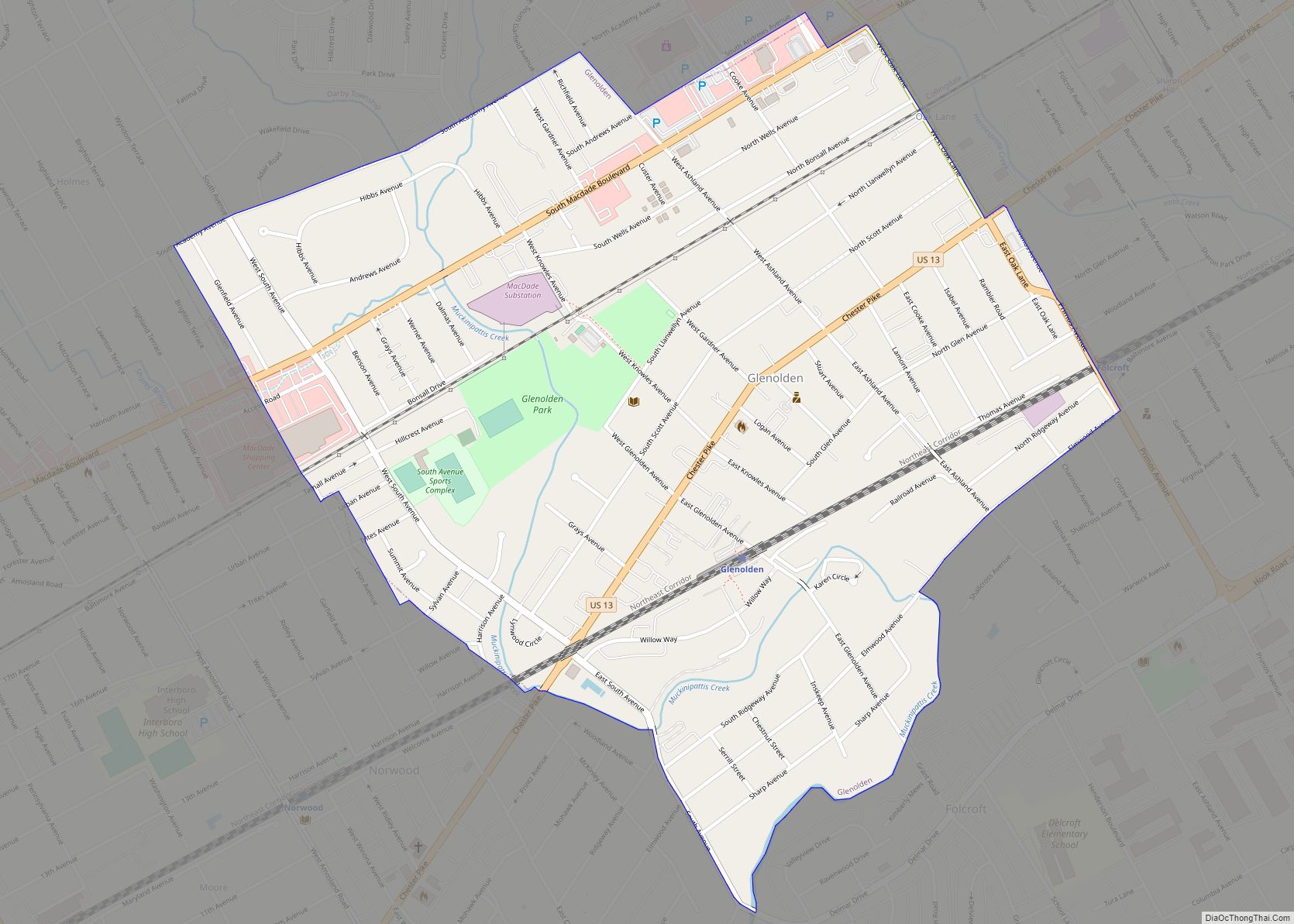
Gilberton is a borough in Schuylkill County, Pennsylvania, United States, four miles (7 km) west by south of Mahanoy City. Its population was 583 at the 2020 census, a decline from the figure of 769 tabulated in 2010. Extensive deposits of anthracite coal are in the region, and coal-mining had been practiced by many of the ... Read more
Map of Gilberton borough
Map of Gibsonia CDP
Gibsonia is an unincorporated community and census-designated place in Richland Township, Allegheny County, in the U.S. state of Pennsylvania, north of the city of Pittsburgh. It had a population of 2,785 at the 2020 Census. Its ZIP code is 15044. Gibsonia CDP overview: Name: Gibsonia CDP LSAD Code: 57 LSAD Description: CDP (suffix) State: Pennsylvania ... Read more
Map of Gibsonia CDP
Map of Glenolden borough
Glenolden is a borough in Delaware County, Pennsylvania, United States. The population was 7,153 at the 2010 census, down from 7,476 at the 2000 census. Glenolden borough overview: Name: Glenolden borough LSAD Code: 21 LSAD Description: borough (suffix) State: Pennsylvania County: Delaware County Elevation: 92 ft (28 m) Total Area: 0.97 sq mi (2.52 km²) Land Area: 0.97 sq mi (2.52 km²) Water ... Read more
Map of Glenolden borough
Map of Glenfield borough, Pennsylvania
Glenfield is a borough in Allegheny County, Pennsylvania, United States, situated along the Ohio River. The population was two hundred and twelve at the time of the 2020 census. Glenfield borough overview: Name: Glenfield borough LSAD Code: 21 LSAD Description: borough (suffix) State: Pennsylvania County: Allegheny County Total Area: 0.99 sq mi (2.56 km²) Land Area: 0.82 sq mi (2.12 km²) ... Read more
Map of Glenfield borough, Pennsylvania
Map of Glendon borough
Glendon is a borough in Northampton County, Pennsylvania. The population of Glendon was 373 at the 2020 census. Glendon is part of the Lehigh Valley metropolitan area, which had a population of 861,899 and was thus the 68th-most populous metropolitan area in the U.S. as of the 2020 census. Glendon borough overview: Name: Glendon borough ... Read more
Map of Glendon borough
Map of Glenburn CDP, Pennsylvania
Glenburn is a census-designated place (CDP) in Glenburn Township, Lackawanna County, Pennsylvania, United States. The population was 953 at the 2010 census. It is approximately 10 miles (16 km) north of downtown Scranton, in the growing suburban area known as the “Abingtons”. Glenburn is located north of Clarks Summit and south of Dalton. Glenburn CDP overview: ... Read more
Map of Glenburn CDP, Pennsylvania