Glasgow is a borough in Beaver County, Pennsylvania, United States, along the Ohio River. The population was 71 at the 2020 census.
The borough was named after Glasgow, in Scotland.
| Name: | Glasgow borough |
|---|---|
| LSAD Code: | 21 |
| LSAD Description: | borough (suffix) |
| State: | Pennsylvania |
| County: | Beaver County |
| Incorporated: | 1854 |
| Elevation: | 732 ft (223 m) |
| Total Area: | 0.11 sq mi (0.28 km²) |
| Land Area: | 0.06 sq mi (0.16 km²) |
| Water Area: | 0.05 sq mi (0.13 km²) |
| Total Population: | 71 |
| Population Density: | 1,183.33/sq mi (458.05/km²) |
| Area code: | 724 |
| FIPS code: | 4229392 |
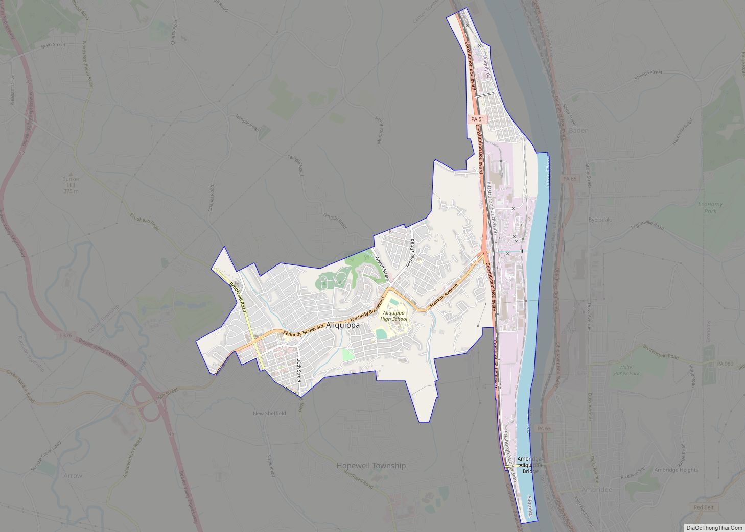
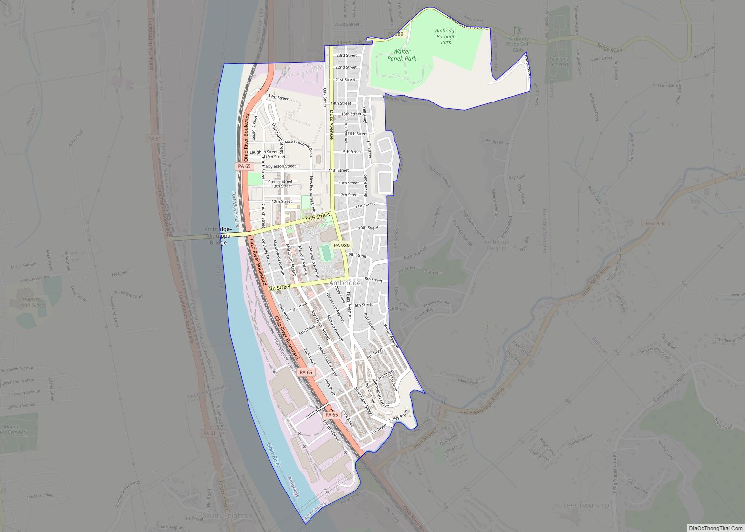
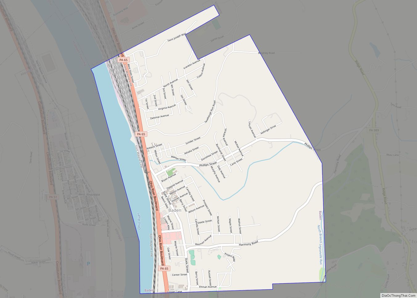
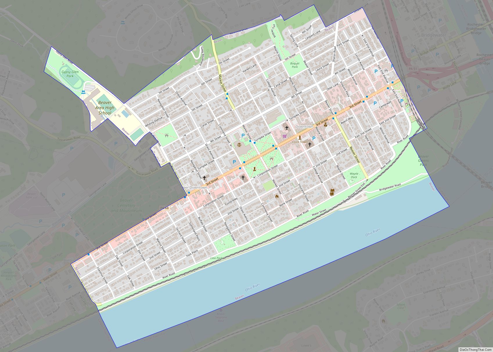
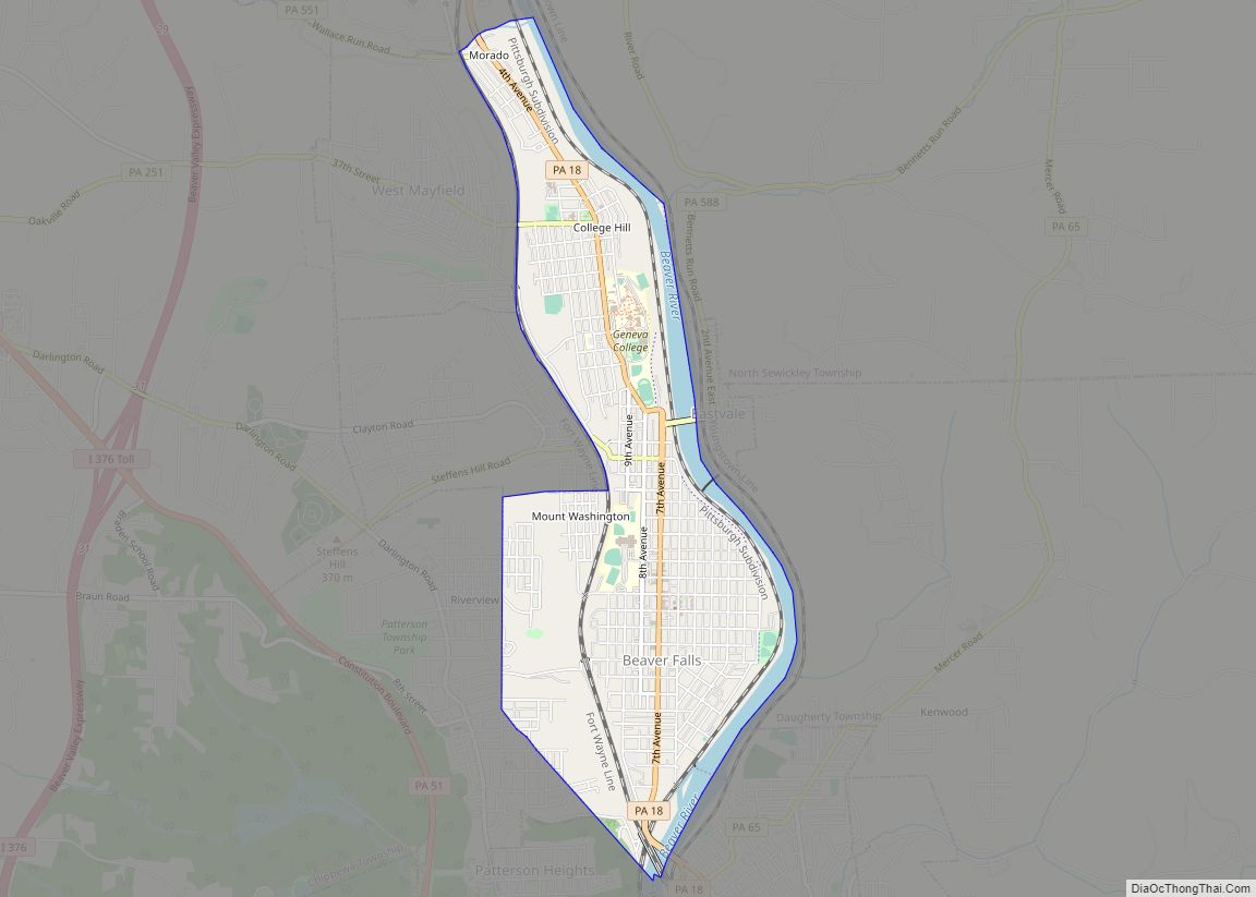
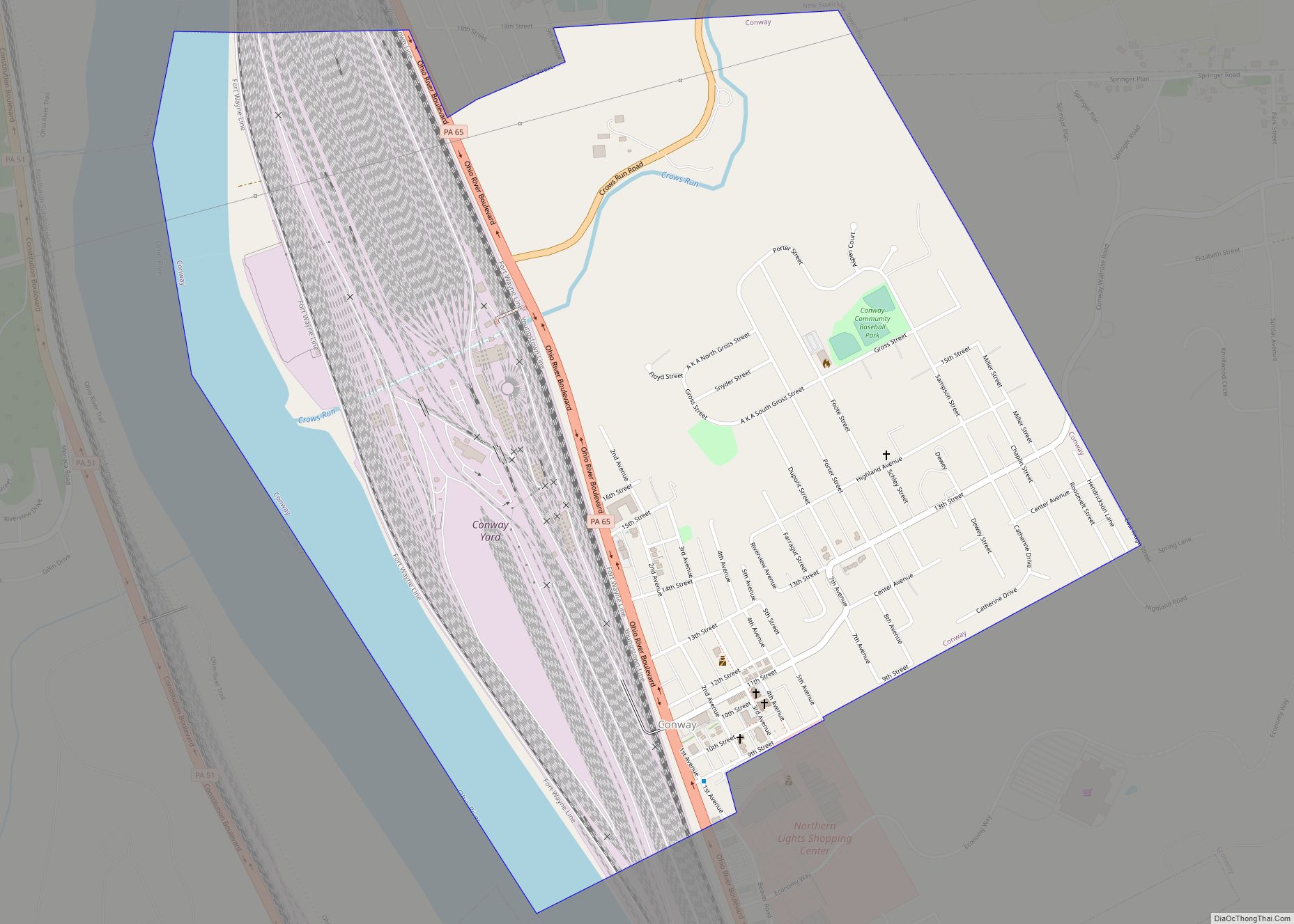
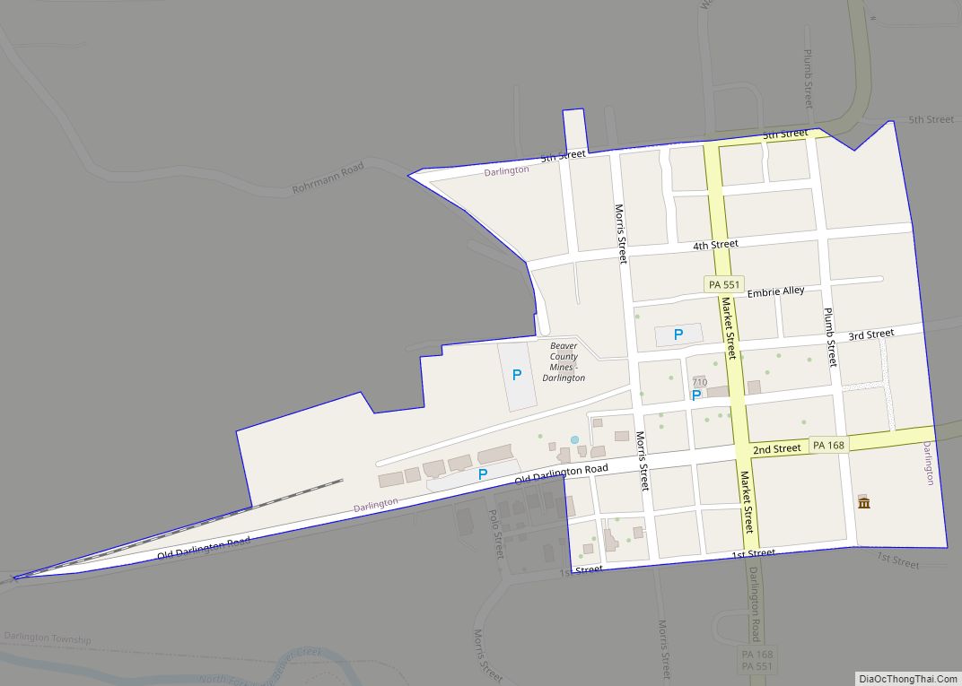
Online Interactive Map
Click on ![]() to view map in "full screen" mode.
to view map in "full screen" mode.
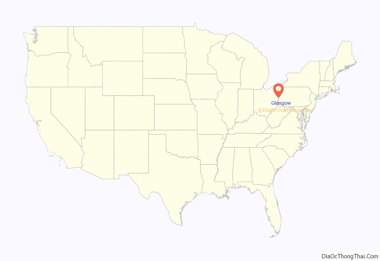
Glasgow location map. Where is Glasgow borough?
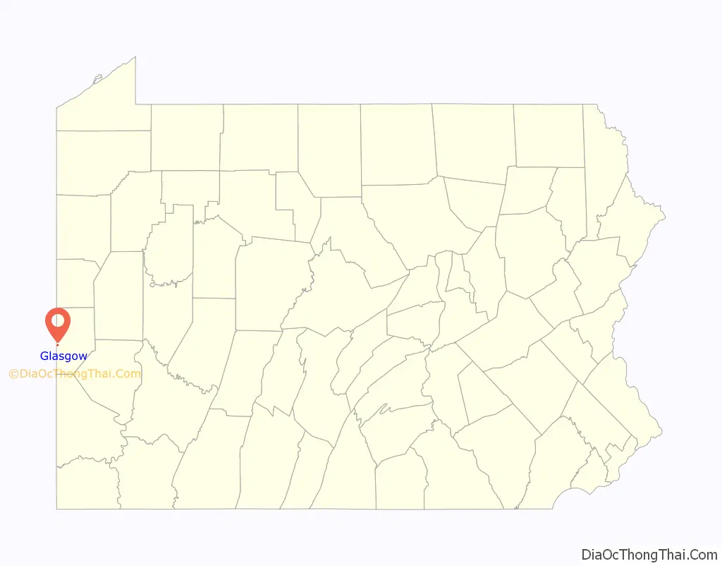
Glasgow Road Map

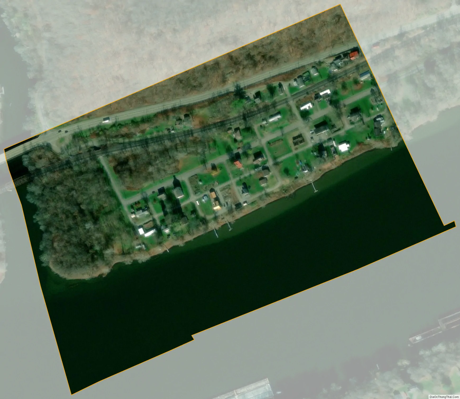
Glasgow city Satellite Map
Geography
Glasgow is located at 40°38′42″N 80°30′31″W / 40.64500°N 80.50861°W / 40.64500; -80.50861 (40.645093, -80.508614).
According to the United States Census Bureau, the borough has a total area of 0.1 square miles (0.26 km), of which 0.1 square miles (0.26 km) is land and 0.1 square miles (0.26 km) (38.46%) is water. The town is referred to as Smith’s Ferry by local residents because a ferry formerly connected the town with Georgetown on the opposite side of the Ohio River.
See also
Map of Pennsylvania State and its subdivision:- Adams
- Allegheny
- Armstrong
- Beaver
- Bedford
- Berks
- Blair
- Bradford
- Bucks
- Butler
- Cambria
- Cameron
- Carbon
- Centre
- Chester
- Clarion
- Clearfield
- Clinton
- Columbia
- Crawford
- Cumberland
- Dauphin
- Delaware
- Elk
- Erie
- Fayette
- Forest
- Franklin
- Fulton
- Greene
- Huntingdon
- Indiana
- Jefferson
- Juniata
- Lackawanna
- Lancaster
- Lawrence
- Lebanon
- Lehigh
- Luzerne
- Lycoming
- Mc Kean
- Mercer
- Mifflin
- Monroe
- Montgomery
- Montour
- Northampton
- Northumberland
- Perry
- Philadelphia
- Pike
- Potter
- Schuylkill
- Snyder
- Somerset
- Sullivan
- Susquehanna
- Tioga
- Union
- Venango
- Warren
- Washington
- Wayne
- Westmoreland
- Wyoming
- York
- Alabama
- Alaska
- Arizona
- Arkansas
- California
- Colorado
- Connecticut
- Delaware
- District of Columbia
- Florida
- Georgia
- Hawaii
- Idaho
- Illinois
- Indiana
- Iowa
- Kansas
- Kentucky
- Louisiana
- Maine
- Maryland
- Massachusetts
- Michigan
- Minnesota
- Mississippi
- Missouri
- Montana
- Nebraska
- Nevada
- New Hampshire
- New Jersey
- New Mexico
- New York
- North Carolina
- North Dakota
- Ohio
- Oklahoma
- Oregon
- Pennsylvania
- Rhode Island
- South Carolina
- South Dakota
- Tennessee
- Texas
- Utah
- Vermont
- Virginia
- Washington
- West Virginia
- Wisconsin
- Wyoming