Gettysburg (locally /ˈɡɛtɪsbɜːrɡ/ (listen); non-locally /ˈɡɛtizbɜːrɡ/) is a borough and the county seat of Adams County in the U.S. state of Pennsylvania. The Battle of Gettysburg (1863) and President Abraham Lincoln’s Gettysburg Address are named for this town.
Gettysburg is home to the Gettysburg National Military Park, where the Battle of Gettysburg was largely fought; the Battle of Gettysburg had the most casualties of any Civil War battle but was also considered the turning point in the war, leading to the Union’s ultimate victory.
As of the 2020 census, the borough had a population of 7,106 people.
| Name: | Gettysburg borough |
|---|---|
| LSAD Code: | 21 |
| LSAD Description: | borough (suffix) |
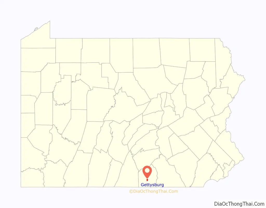
| State: | Pennsylvania |
| County: | Adams County |
| Incorporated: | 1806 |
| Elevation: | 560 ft (170 m) |
| Total Area: | 1.66 sq mi (4.31 km²) |
| Land Area: | 1.66 sq mi (4.30 km²) |
| Water Area: | 0.01 sq mi (0.01 km²) |
| Total Population: | 7,106 |
| Population Density: | 4,280.72/sq mi (1,653.03/km²) |
| ZIP code: | 17325 |
| Area code: | 717 |
| FIPS code: | 4228960 |
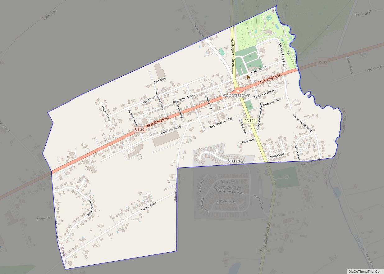
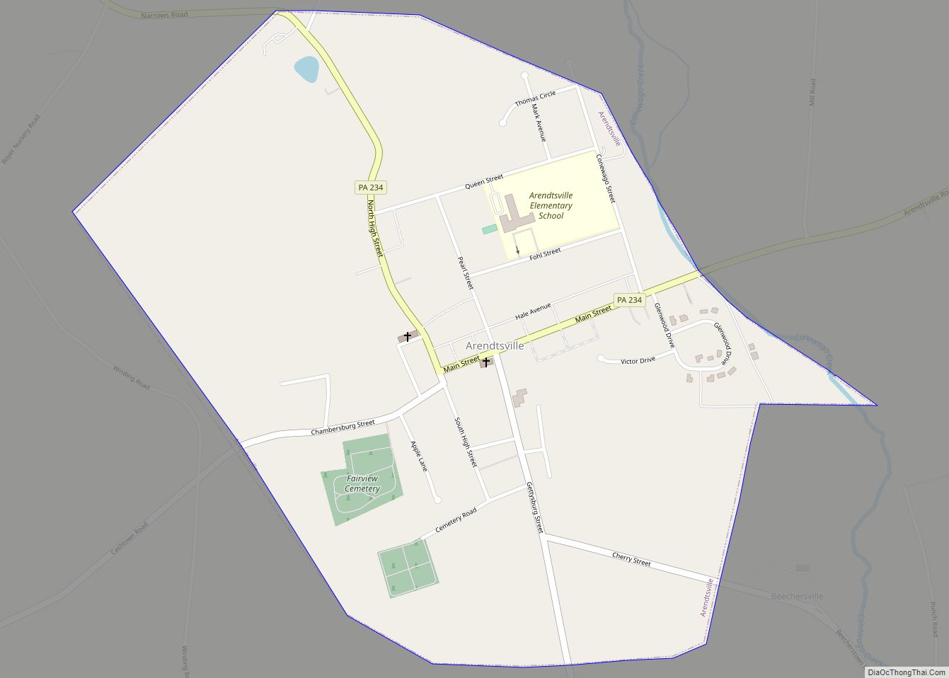
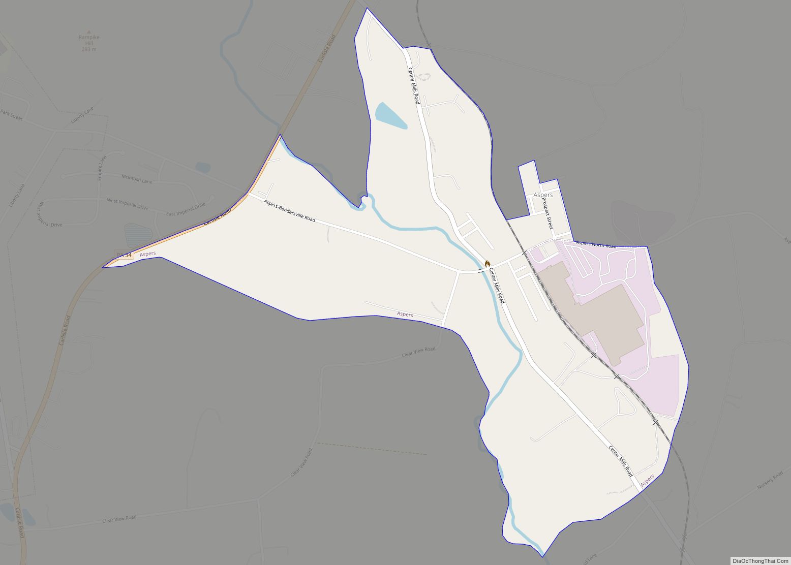
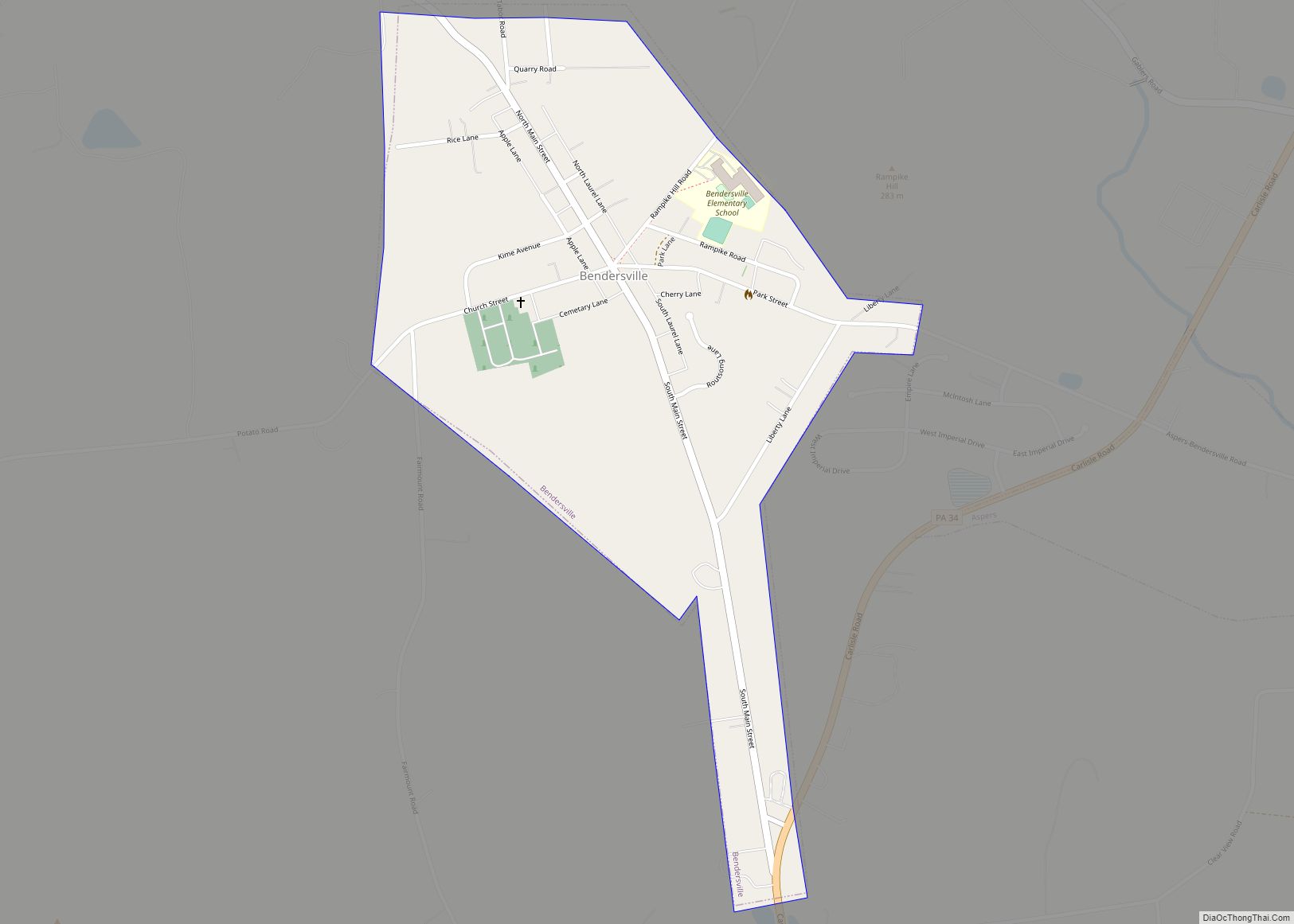
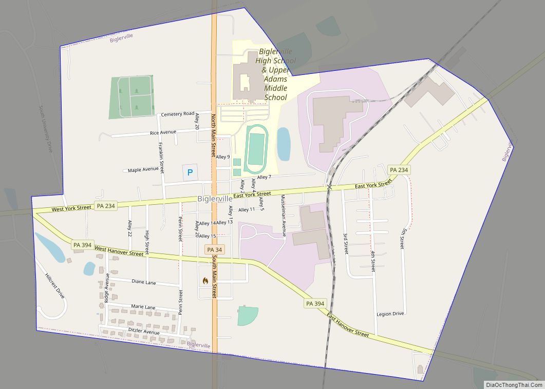
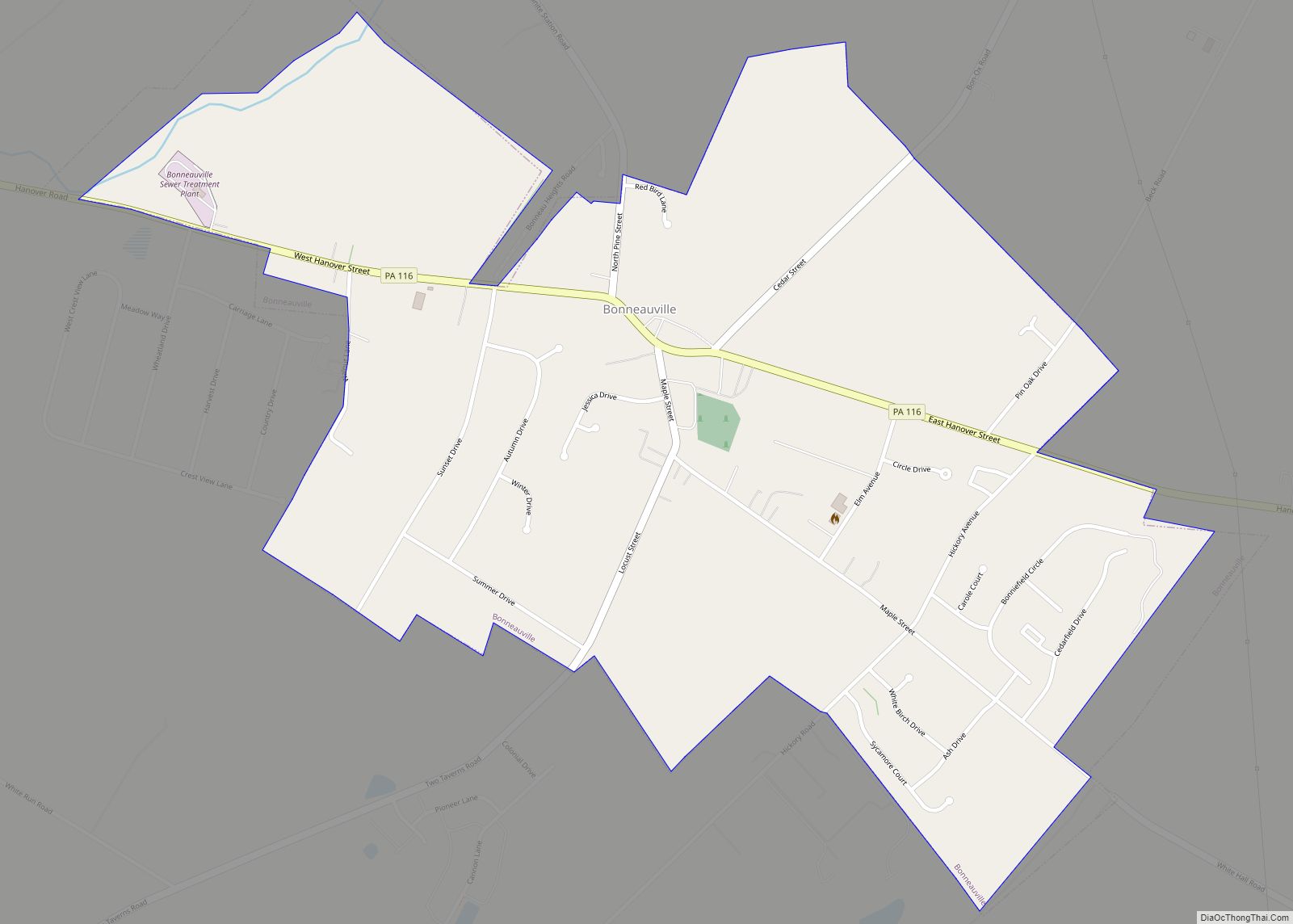
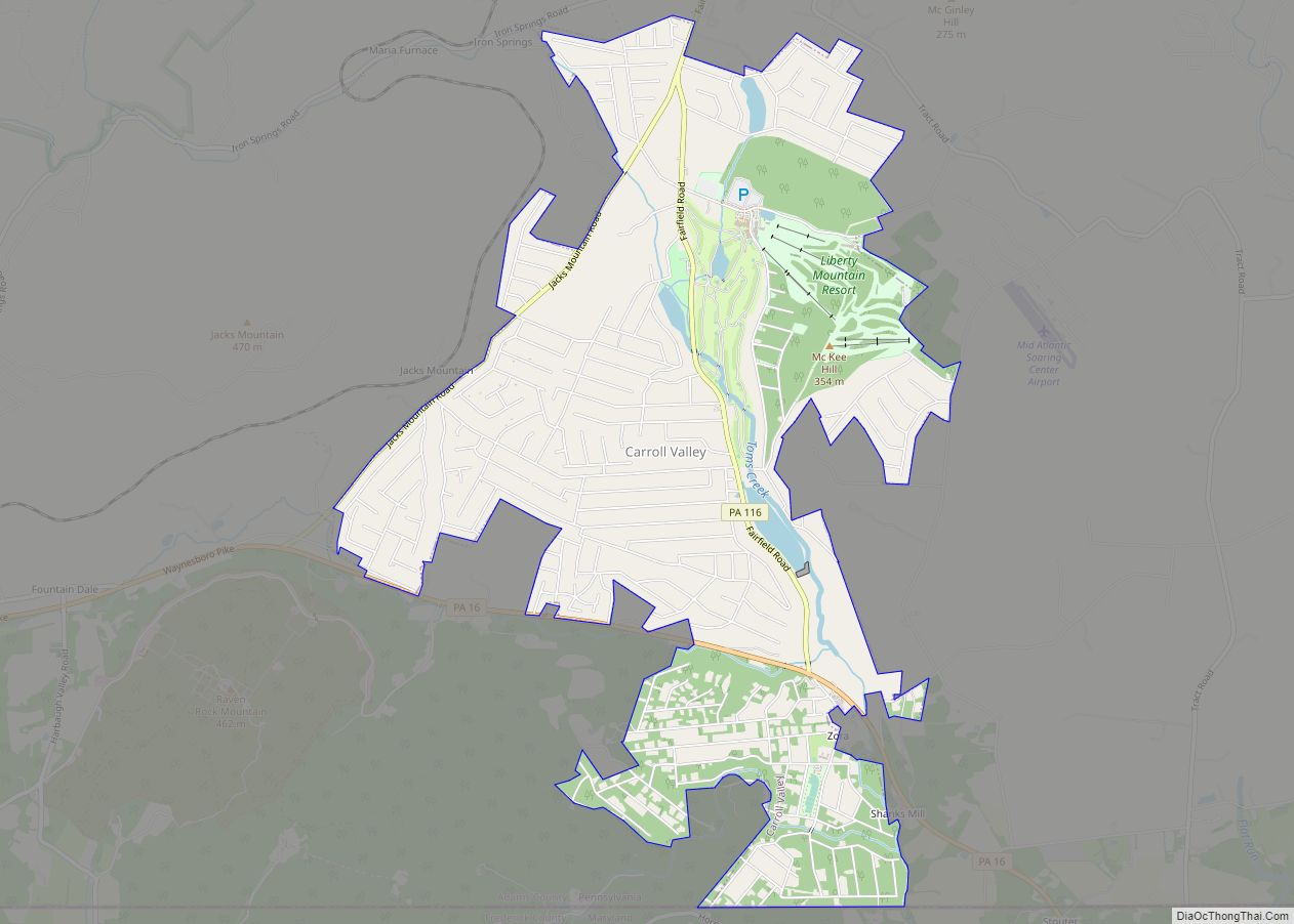
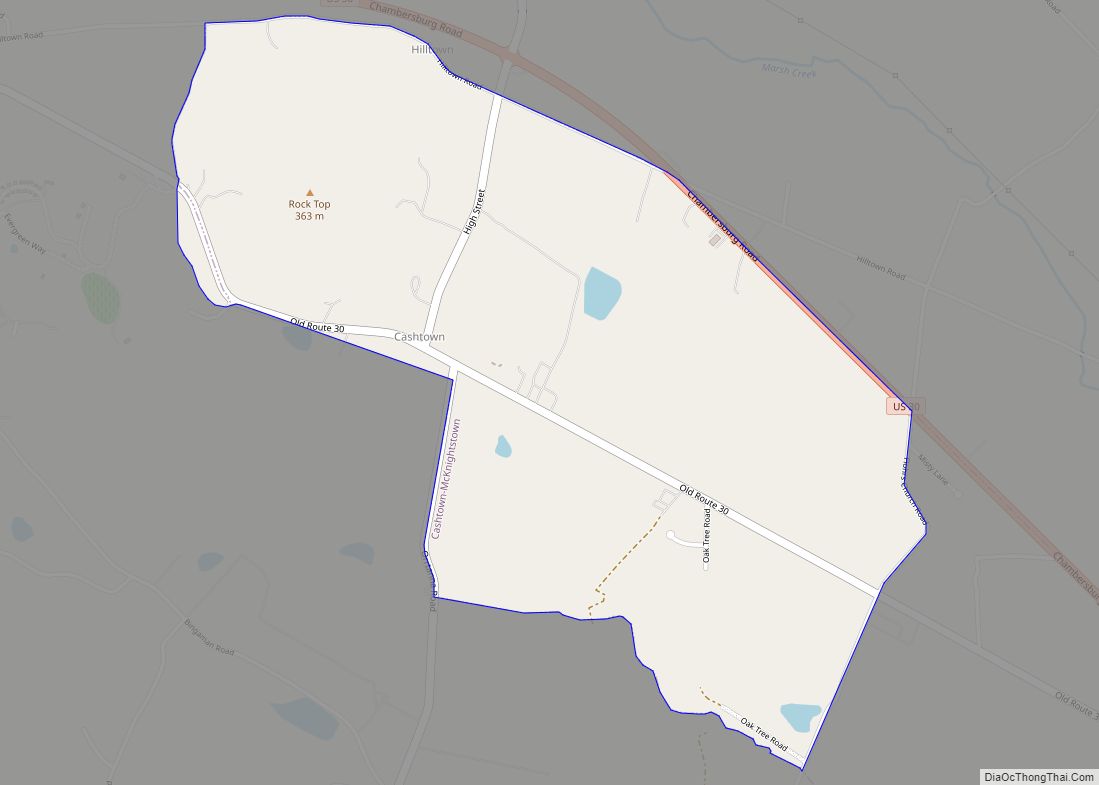
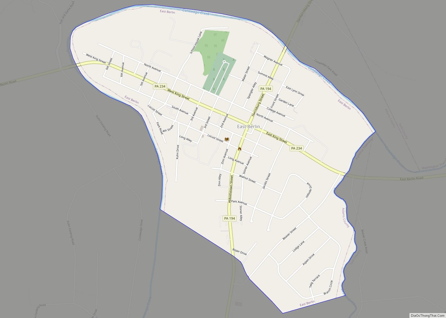
Online Interactive Map
Click on ![]() to view map in "full screen" mode.
to view map in "full screen" mode.
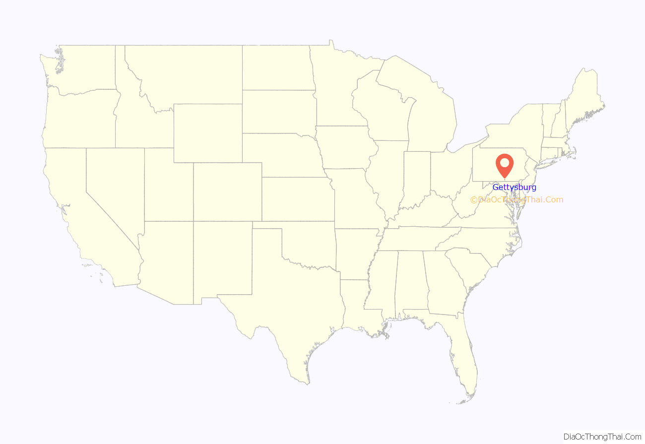
Gettysburg location map. Where is Gettysburg borough?
History
Early history
In 1761, Irishman Samuel Gettys settled at the Shippensburg–Baltimore and Philadelphia–Pittsburgh crossroads, in what was then western York County, and established a tavern frequented by soldiers and traders. In 1786, the borough boundary was established, with the Dobbin House tavern (established in 1776) sitting in the southwest.
As early as 1790, a movement seeking to split off the western portion of York County into a separate county had begun. A commission was drawn up to fix the site of the new county’s seat; they ultimately chose a location in Strabane Township (now Straban Township), just northeast of Gettysburg. In 1791, additional trustees were appointed to plan for the construction of public buildings in the town of Gettysburg instead of in Straban. On January 22, 1800, the Pennsylvania Legislature created Adams County, with Gettysburg as its county seat.
In 1858, the Gettysburg Railroad completed construction of a railroad line from Gettysburg to Hanover, and the Gettysburg Railroad Station opened a year later. Passenger train service to the town ended in 1942. The station was restored in 2006. In 2011, Senator Robert Casey introduced S. 1897, which would include the railroad station within the boundary of Gettysburg National Military Park. By 1860, the borough had grown in size to consist of “450 buildings [which] housed carriage manufacturing, shoemakers, and tanneries”.
Civil War
Between July 1 and 3, 1863, the Battle of Gettysburg, one of the bloodiest battles during the American Civil War, was fought across the fields and heights in the vicinity of the town.
The Confederate Army of Northern Virginia, under the command of Robert E Lee, experienced success in the early stages of the battle but was ultimately defeated by the Army of the Potomac, commanded by George G. Meade. Lee executed an orderly withdrawal and escaped across the Potomac River without being drawn into another battle. Meade was heavily criticized by President Abraham Lincoln for his cautious pursuit and failure to destroy Lee’s retreating army.
Casualties were high with total losses on both sides – over 27,000 Confederate and 23,000 Union. The residents of Gettysburg were left to care for the wounded and bury the dead following the Confederate retreat. Approximately 8,000 men and 3,000 horses lay under the summer sun. The soldiers’ bodies were gradually reinterred in what is today known as Gettysburg National Cemetery, where, on November 19, 1863, Abraham Lincoln attended a ceremony to officially consecrate the grounds and delivered his Gettysburg Address.
A 20-year-old woman, Jennie Wade, was the only civilian killed during the battle. She was hit by a stray bullet that passed through her kitchen door while she was making bread on July 3.
Physical damage can still be seen in some of the houses throughout the town, notably the Schmucker House located on Seminary Ridge.
Furniture
The furniture manufacturing industry employed people in Gettysburg for the first half of the 20th century. The “Gettysburg Manufacturing Company”, formed in 1902, was the first company established in the borough for the purpose of manufacturing residential furniture. Other companies soon followed. The borough’s industry reached peak production and success about the 1920s. This important industry declined from 1951, when the three main companies either moved, closed or were sold. The Gettysburg Furniture Company factory closed in 1960, becoming a warehouse and distribution point for other furniture factories outside of Pennsylvania.
Tourism
Gettysburg manufacturing associated with tourism included a late 19th century foundry that manufactured gun carriages, bridgeworks and cannons for the Gettysburg Battlefield, as well as a construction industry for hotels, stables, and other buildings for tourist services. Early tourist buildings in the borough included museums (like the 1881 Danner Museum), souvenir shops, buildings of the electric trolley (preceded by a horse trolley from the Gettysburg Railroad Station to the Springs Hotel), and stands for hackmen who drove visitors in jitneys (horse-drawn group taxis) on tours. Modern tourist services in the borough include ghost tours, bed and breakfast lodging, and historical interpretation (reenactors, etc.).
Gettysburg is the site of the Eisenhower National Historic Site that preserves the home and farm of Dwight D. Eisenhower.
Gettysburg Road Map
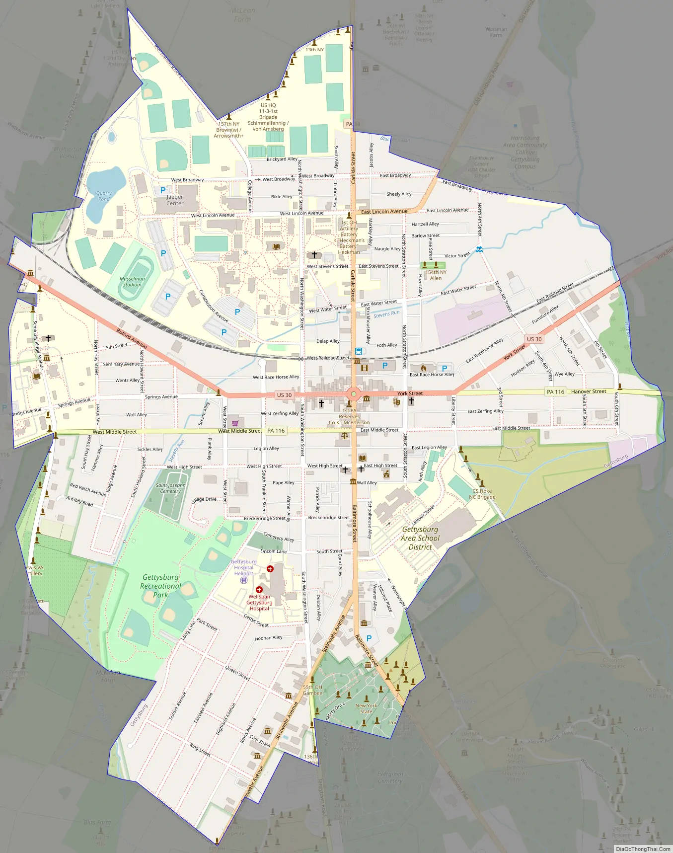
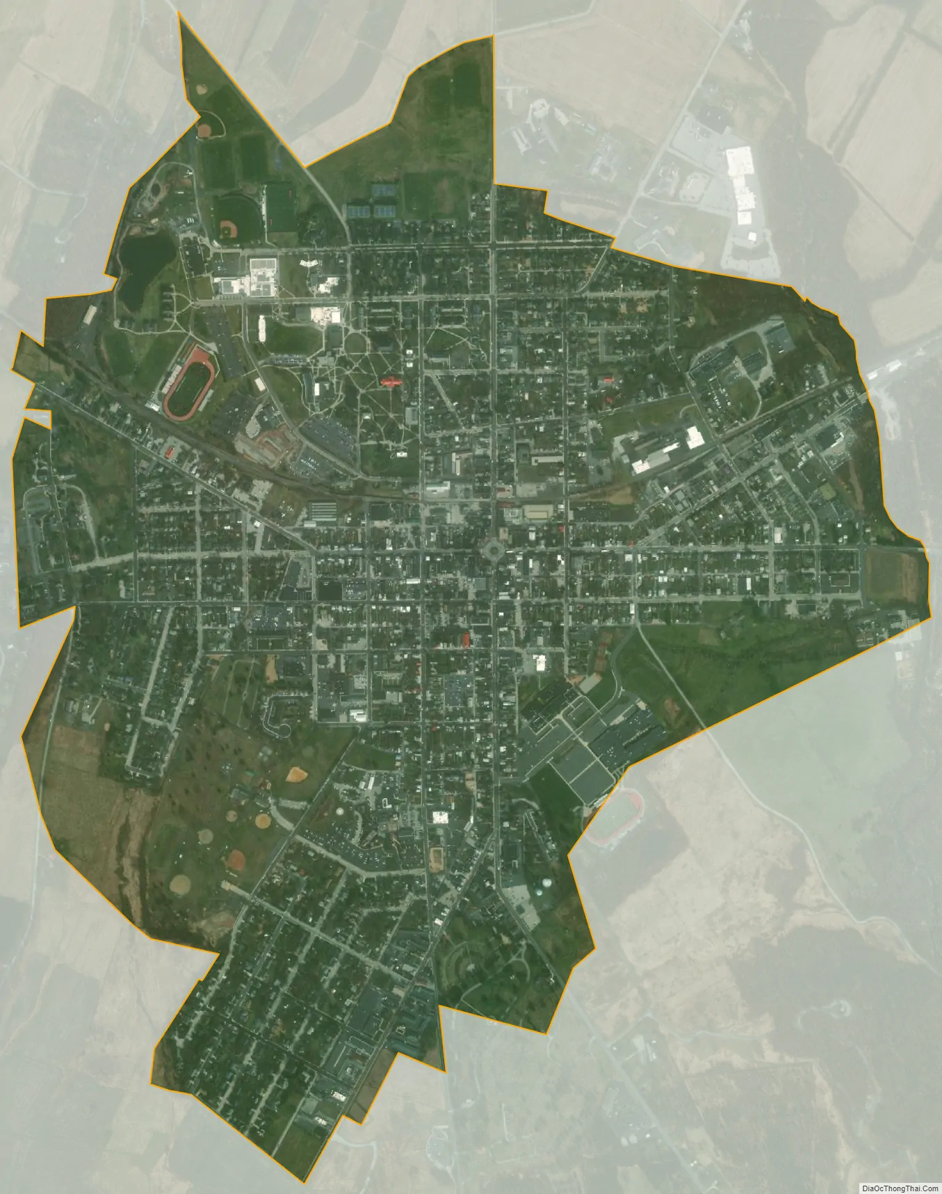
Gettysburg city Satellite Map
Geography
Gettysburg is located near the intersection of U.S. routes 15 and 30, approximately 25 miles (40 km) west of York and 35 miles (56 km) north of Frederick, Maryland. Rock Creek, a tributary of the Monocacy River and part of the Potomac River watershed, flows along its eastern edge. According to the United States Census Bureau, the borough has a total area of 1.7 square miles (4.3 km), all land.
Climate
Gettysburg lies in the transition zone between the humid continental climate of northern and central Pennsylvania to the north and the humid subtropical climate of central Maryland to the south, with hot, humid summers and cool winters. On average, January is the coldest month, with an average temperature of 29.8 °F (−1.2 °C). Winters range from cool to moderately cold, with relatively frequent snowfalls. July is the warmest month, with an average temperature of 74.4 °F (23.6 °C), and June is the wettest month. The hottest temperature recorded in Gettysburg was 104 °F (40 °C) on July 16, 1988, while the coldest temperature recorded was −25 °F (−32 °C) on January, 21 1994.
Pennsylvania’s first on-farm methane digester was built near Gettysburg at the Mason-Dixon Farm in 1978, and generates 600KW.
See also
Map of Pennsylvania State and its subdivision:- Adams
- Allegheny
- Armstrong
- Beaver
- Bedford
- Berks
- Blair
- Bradford
- Bucks
- Butler
- Cambria
- Cameron
- Carbon
- Centre
- Chester
- Clarion
- Clearfield
- Clinton
- Columbia
- Crawford
- Cumberland
- Dauphin
- Delaware
- Elk
- Erie
- Fayette
- Forest
- Franklin
- Fulton
- Greene
- Huntingdon
- Indiana
- Jefferson
- Juniata
- Lackawanna
- Lancaster
- Lawrence
- Lebanon
- Lehigh
- Luzerne
- Lycoming
- Mc Kean
- Mercer
- Mifflin
- Monroe
- Montgomery
- Montour
- Northampton
- Northumberland
- Perry
- Philadelphia
- Pike
- Potter
- Schuylkill
- Snyder
- Somerset
- Sullivan
- Susquehanna
- Tioga
- Union
- Venango
- Warren
- Washington
- Wayne
- Westmoreland
- Wyoming
- York
- Alabama
- Alaska
- Arizona
- Arkansas
- California
- Colorado
- Connecticut
- Delaware
- District of Columbia
- Florida
- Georgia
- Hawaii
- Idaho
- Illinois
- Indiana
- Iowa
- Kansas
- Kentucky
- Louisiana
- Maine
- Maryland
- Massachusetts
- Michigan
- Minnesota
- Mississippi
- Missouri
- Montana
- Nebraska
- Nevada
- New Hampshire
- New Jersey
- New Mexico
- New York
- North Carolina
- North Dakota
- Ohio
- Oklahoma
- Oregon
- Pennsylvania
- Rhode Island
- South Carolina
- South Dakota
- Tennessee
- Texas
- Utah
- Vermont
- Virginia
- Washington
- West Virginia
- Wisconsin
- Wyoming