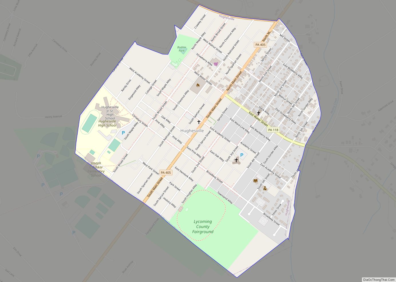
Hughesville is a borough in Lycoming County, Pennsylvania, United States. The population was 2,155 at the 2020 census. It is part of the Williamsport, Pennsylvania Metropolitan Statistical Area. Hughesville borough overview: Name: Hughesville borough LSAD Code: 21 LSAD Description: borough (suffix) State: Pennsylvania County: Lycoming County Incorporated: April 23, 1852 Total Area: 0.65 sq mi (1.67 km²) Land ... Read more
Pennsylvania Cities and Places
Hughestown is a borough in the Greater Pittston area of Luzerne County, Pennsylvania, United States. The population was 1,326 at the 2020 census. Hughestown borough overview: Name: Hughestown borough LSAD Code: 21 LSAD Description: borough (suffix) State: Pennsylvania County: Luzerne County Incorporated: 1879 Total Area: 0.87 sq mi (2.25 km²) Land Area: 0.87 sq mi (2.25 km²) Water Area: 0.00 sq mi (0.00 km²) ... Read more
Hudson is a census-designated place (CDP) in Plains Township, Luzerne County, Pennsylvania, United States. The population was 1,443 at the 2010 census. Hudson CDP overview: Name: Hudson CDP LSAD Code: 57 LSAD Description: CDP (suffix) State: Pennsylvania County: Luzerne County Total Area: 0.38 sq mi (0.98 km²) Land Area: 0.38 sq mi (0.98 km²) Water Area: 0.00 sq mi (0.00 km²) Total Population: 1,436 ... Read more
Hublersburg is an unincorporated community and census-designated place in Walker Township, Centre County, Pennsylvania, United States. It is located about 3 miles (5 km) northeast of the community of Mingoville, along Pennsylvania Route 64. As of the 2010 census, the population was 104 residents. The founder of Hublersburg was Jacob Hubler. Hublersburg CDP overview: Name: Hublersburg ... Read more
Howard is a borough in Centre County, Pennsylvania, United States. It is part of the State College, Pennsylvania Metropolitan Statistical Area. The population was 720 at the 2010 census. Howard borough overview: Name: Howard borough LSAD Code: 21 LSAD Description: borough (suffix) State: Pennsylvania County: Centre County Elevation: 696 ft (212 m) Total Area: 0.36 sq mi (0.95 km²) Land ... Read more
Houtzdale is a borough in Clearfield County, Pennsylvania, United States. The population was 764 at the 2020 census. Houtzdale borough overview: Name: Houtzdale borough LSAD Code: 21 LSAD Description: borough (suffix) State: Pennsylvania County: Clearfield County Founded: 1870 Incorporated: 1872 (Borough) Elevation: 1,522 ft (464 m) Total Area: 0.38 sq mi (0.99 km²) Land Area: 0.38 sq mi (0.99 km²) Water Area: 0.00 sq mi ... Read more
Houston is a borough in Washington County, Pennsylvania, United States. The population was 1,165 at the 2020 census. Students in Houston and neighboring Chartiers Township attend school in the Chartiers-Houston School District. Houston borough overview: Name: Houston borough LSAD Code: 21 LSAD Description: borough (suffix) State: Pennsylvania County: Washington County Total Area: 0.41 sq mi (1.06 km²) Land ... Read more
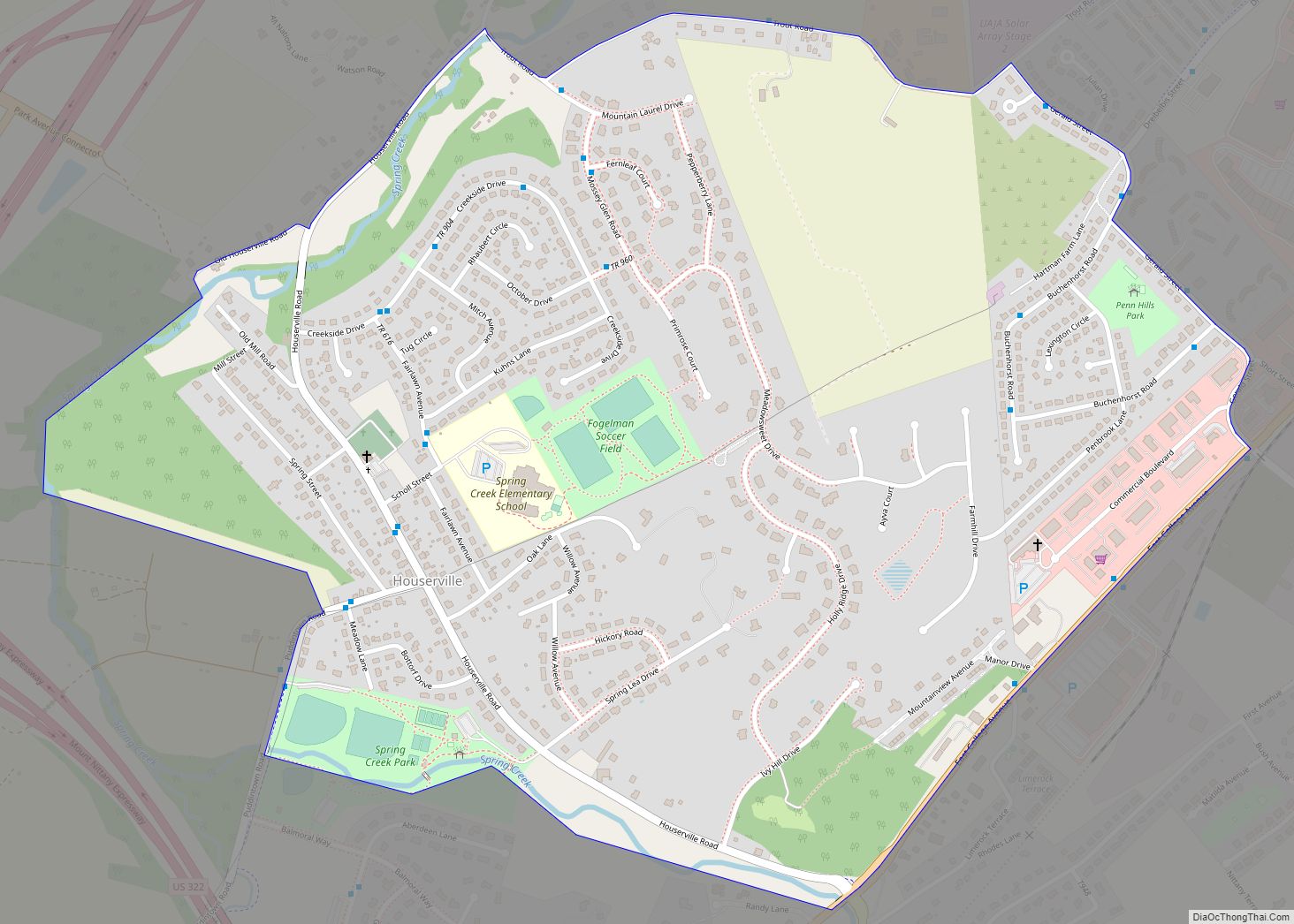
Houserville is an unincorporated community and census-designated place (CDP) in Centre County, Pennsylvania, United States. It is part of the State College, Pennsylvania Metropolitan Statistical Area. The population was 1,814 at the 2010 census. Houserville CDP overview: Name: Houserville CDP LSAD Code: 57 LSAD Description: CDP (suffix) State: Pennsylvania County: Centre County Elevation: 980 ft (300 m) ... Read more
Hyde is an unincorporated community and census-designated place (CDP) in Clearfield County, Pennsylvania, United States. The population was 1,303 at the 2020 census. Hyde CDP overview: Name: Hyde CDP LSAD Code: 57 LSAD Description: CDP (suffix) State: Pennsylvania County: Clearfield County Elevation: 1,110 ft (340 m) Total Area: 1.71 sq mi (4.42 km²) Land Area: 1.68 sq mi (4.35 km²) Water Area: 0.03 sq mi ... Read more
Hyde Park is a census-designated place just outside the city of Reading in Muhlenberg Township, Berks County, Pennsylvania, United States. Its coordinates are 40°22′N 75°55′W / 40.367°N 75.917°W / 40.367; -75.917. As of the 2010 census, the population was 2,528 residents. Hyde Park CDP overview: Name: Hyde Park CDP LSAD Code: 57 LSAD Description: CDP ... Read more
Huntingdon is a borough in (and the county seat of) Huntingdon County, Pennsylvania, United States. It is located along the Juniata River, approximately 32 miles (51 km) east of Altoona and 92 miles (148 km) west of Harrisburg. With a population of 7,093 at the 2010 census, it is the largest population center near Raystown Lake, a ... Read more
Hunterstown is an unincorporated community and census-designated place in Straban Township, Adams County, Pennsylvania, United States. As of the 2020 census, the population was 506. Hunterstown is located along Pennsylvania Route 394, (Shrivers Corner Road), 5 miles (8 km) northeast of Gettysburg. The Hunterstown Historic District and Great Conewago Presbyterian Church are listed on the National ... Read more


