Houtzdale is a borough in Clearfield County, Pennsylvania, United States. The population was 764 at the 2020 census.
| Name: | Houtzdale borough |
|---|---|
| LSAD Code: | 21 |
| LSAD Description: | borough (suffix) |
| State: | Pennsylvania |
| County: | Clearfield County |
| Founded: | 1870 |
| Incorporated: | 1872 (Borough) |
| Elevation: | 1,522 ft (464 m) |
| Total Area: | 0.38 sq mi (0.99 km²) |
| Land Area: | 0.38 sq mi (0.99 km²) |
| Water Area: | 0.00 sq mi (0.00 km²) |
| Total Population: | 764 |
| Population Density: | 1,994.78/sq mi (770.45/km²) |
| ZIP code: | 16651 |
| Area code: | 814, exchange 378 |
| FIPS code: | 4235928 |
Online Interactive Map
Click on ![]() to view map in "full screen" mode.
to view map in "full screen" mode.
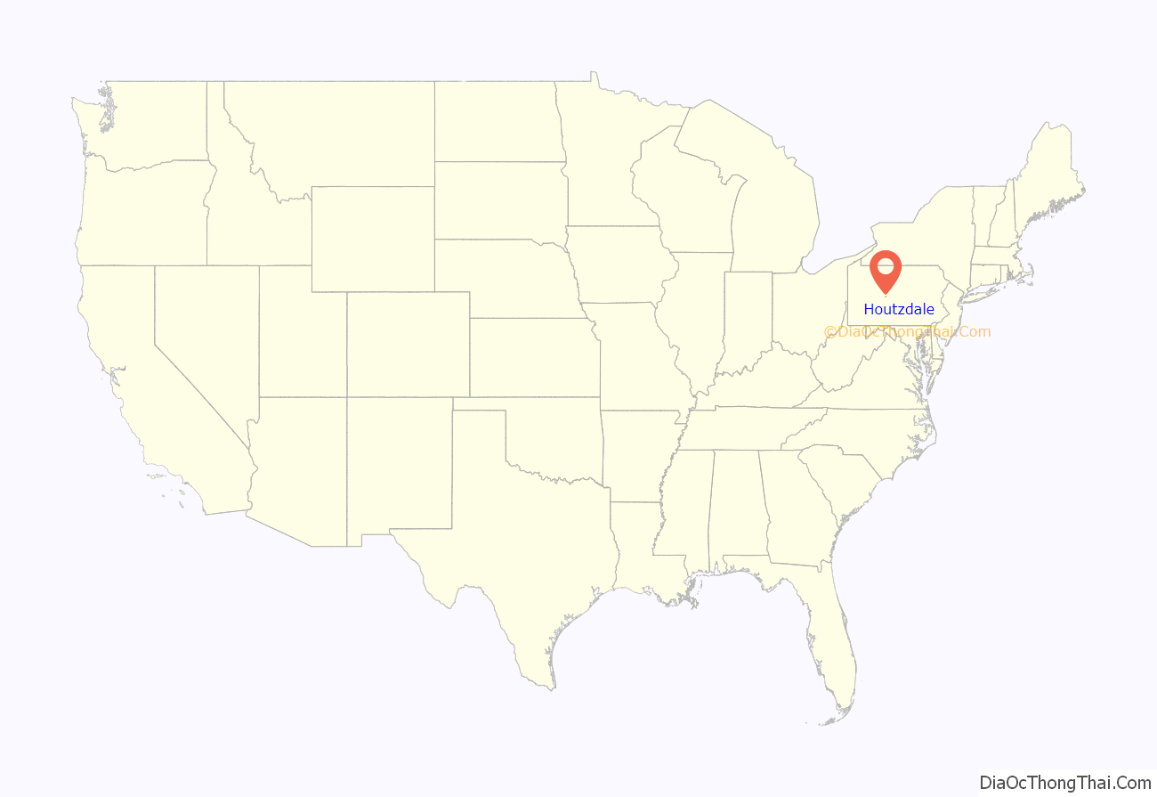
Houtzdale location map. Where is Houtzdale borough?
History
Houtzdale is named after Dr. Daniel Houtz, the original owner of the town site. The town was built quickly in the late 19th century and is structured on a square grid plan. Focused mainly on the railroad and coal industry, the town served as a hub for the railroad which made its way onto Ramey and Madera to the west. Houtzdale become an incorporated borough in 1872.
Houtzdale Road Map
Houtzdale city Satellite Map
Geography
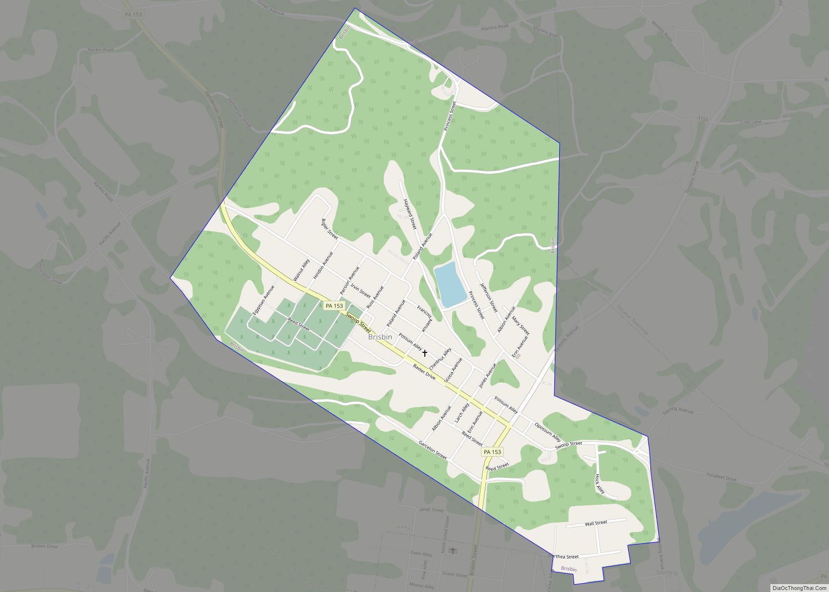
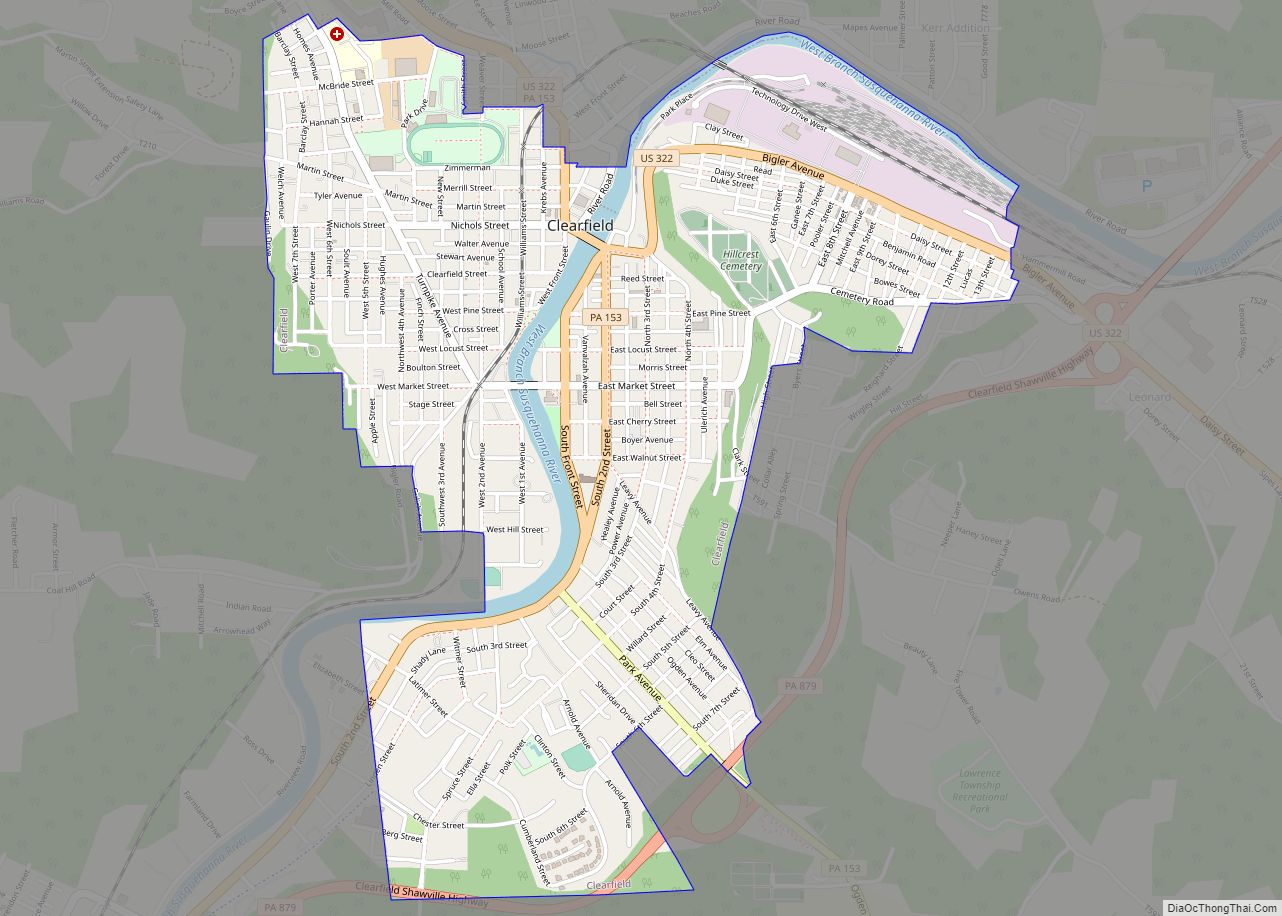
Houtzdale is bordered to the north by the borough of Brisbin. Pennsylvania Route 53 passes through Houtzdale, leading east 5 miles (8 km) to Osceola Mills and west 9 miles (14 km) to Glen Hope. Pennsylvania Route 153 leads north from Houtzdale 17 miles (27 km) to Clearfield, the county seat.
According to the United States Census Bureau, Houtzdale has a total area of 0.38 square miles (0.99 km), all land.
See also
Map of Pennsylvania State and its subdivision:- Adams
- Allegheny
- Armstrong
- Beaver
- Bedford
- Berks
- Blair
- Bradford
- Bucks
- Butler
- Cambria
- Cameron
- Carbon
- Centre
- Chester
- Clarion
- Clearfield
- Clinton
- Columbia
- Crawford
- Cumberland
- Dauphin
- Delaware
- Elk
- Erie
- Fayette
- Forest
- Franklin
- Fulton
- Greene
- Huntingdon
- Indiana
- Jefferson
- Juniata
- Lackawanna
- Lancaster
- Lawrence
- Lebanon
- Lehigh
- Luzerne
- Lycoming
- Mc Kean
- Mercer
- Mifflin
- Monroe
- Montgomery
- Montour
- Northampton
- Northumberland
- Perry
- Philadelphia
- Pike
- Potter
- Schuylkill
- Snyder
- Somerset
- Sullivan
- Susquehanna
- Tioga
- Union
- Venango
- Warren
- Washington
- Wayne
- Westmoreland
- Wyoming
- York
- Alabama
- Alaska
- Arizona
- Arkansas
- California
- Colorado
- Connecticut
- Delaware
- District of Columbia
- Florida
- Georgia
- Hawaii
- Idaho
- Illinois
- Indiana
- Iowa
- Kansas
- Kentucky
- Louisiana
- Maine
- Maryland
- Massachusetts
- Michigan
- Minnesota
- Mississippi
- Missouri
- Montana
- Nebraska
- Nevada
- New Hampshire
- New Jersey
- New Mexico
- New York
- North Carolina
- North Dakota
- Ohio
- Oklahoma
- Oregon
- Pennsylvania
- Rhode Island
- South Carolina
- South Dakota
- Tennessee
- Texas
- Utah
- Vermont
- Virginia
- Washington
- West Virginia
- Wisconsin
- Wyoming
