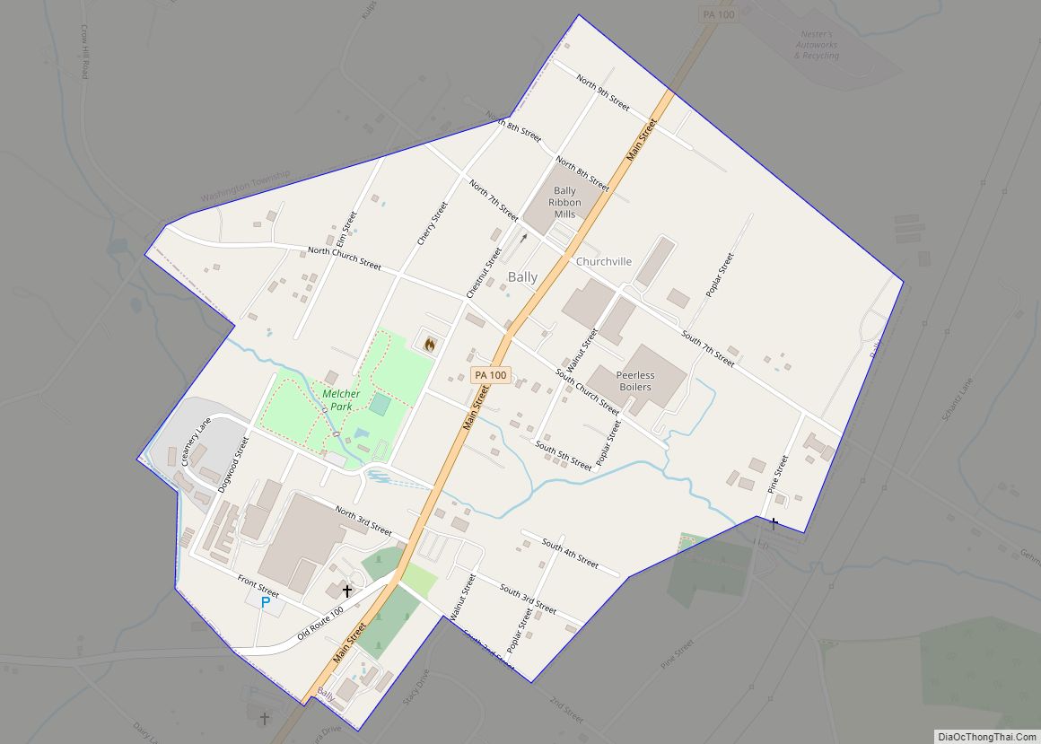
Bally is a borough in Berks County, Pennsylvania, United States. The population was 1,090 at the 2010 census. Bally borough overview: Name: Bally borough LSAD Code: 21 LSAD Description: borough (suffix) State: Pennsylvania County: Berks County Incorporated: 1912 Elevation: 259 ft (79 m) Total Area: 0.51 sq mi (1.33 km²) Land Area: 0.51 sq mi (1.33 km²) Water Area: 0.00 sq mi (0.00 km²) Total Population: ... Read more
Pennsylvania Cities and Places
Baldwin is a borough in Allegheny County, Pennsylvania, United States (not to be confused with adjacent Baldwin Township). Part of the Greater Pittsburgh metropolitan area, the borough’s population was 21,510 as of the 2020 census. Baldwin borough overview: Name: Baldwin borough LSAD Code: 21 LSAD Description: borough (suffix) State: Pennsylvania County: Allegheny County Incorporated: October ... Read more
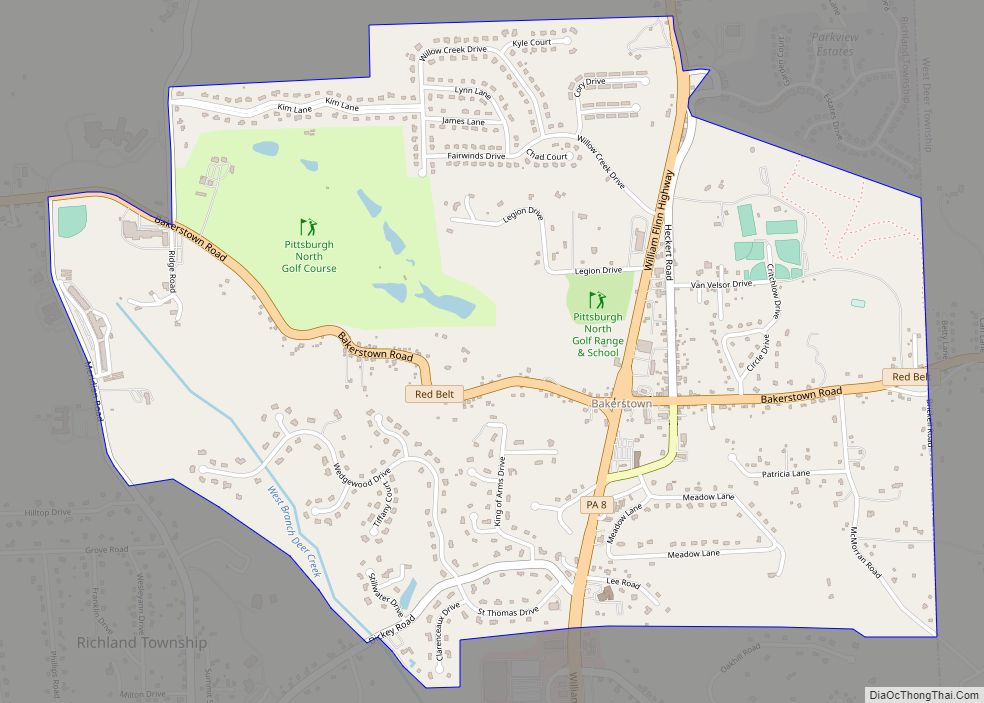
Bakerstown is a census-designated place within Richland Township in Allegheny County, Pennsylvania, United States. As of the 2020 census, it had a population of 2,745. Despite Bakerstown’s small size, there are a few shops located within the settlement. The Bakerstown Hotel “Home of the Tony Bagel” is now closed, Mr. C’s Pizzeria is also closed, ... Read more
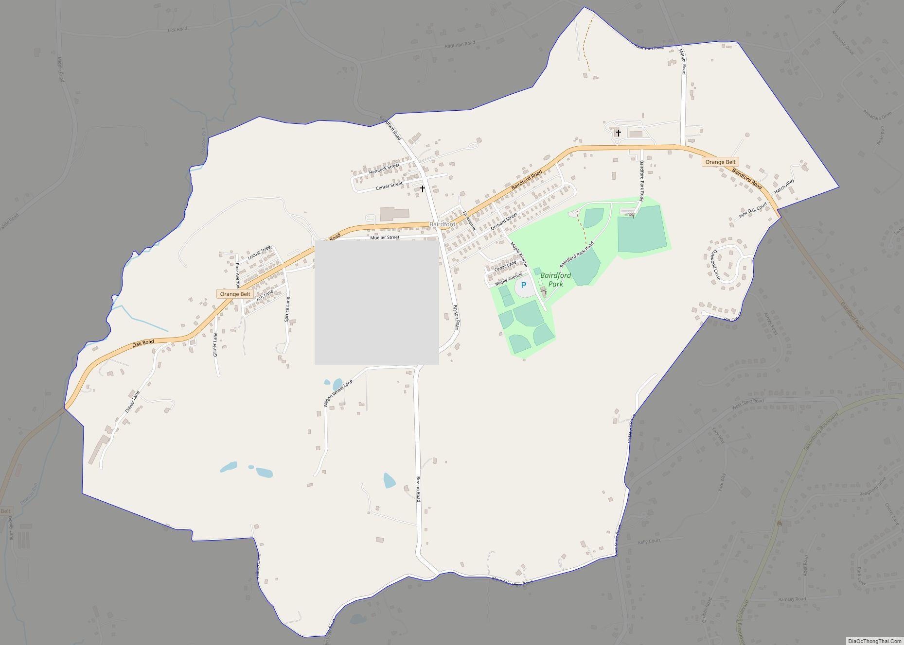
Bairdford is a census-designated place within the township of West Deer in Allegheny County, Pennsylvania, United States. As of the 2020 census, it had a population of 855 with a median age of 44. There are 692 people classified as white, three as black, three as combination White and American Indian. There are eight people ... Read more
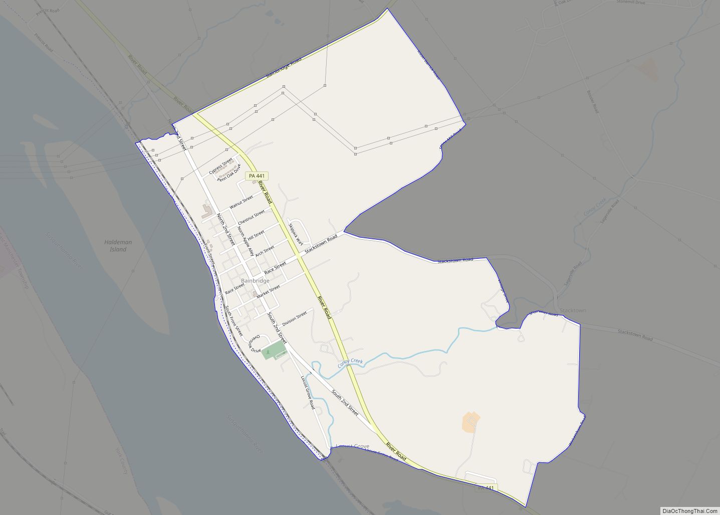
Bainbridge is an unincorporated community and census-designated place (CDP) in Conoy Township, Lancaster County, Pennsylvania, United States, with a ZIP code of 17502. Bainbridge is located along Pennsylvania Route 441. As of the 2010 census, the population was 1,355. Before European settlement, Bainbridge was the site of a Conoy village in the first decades of ... Read more
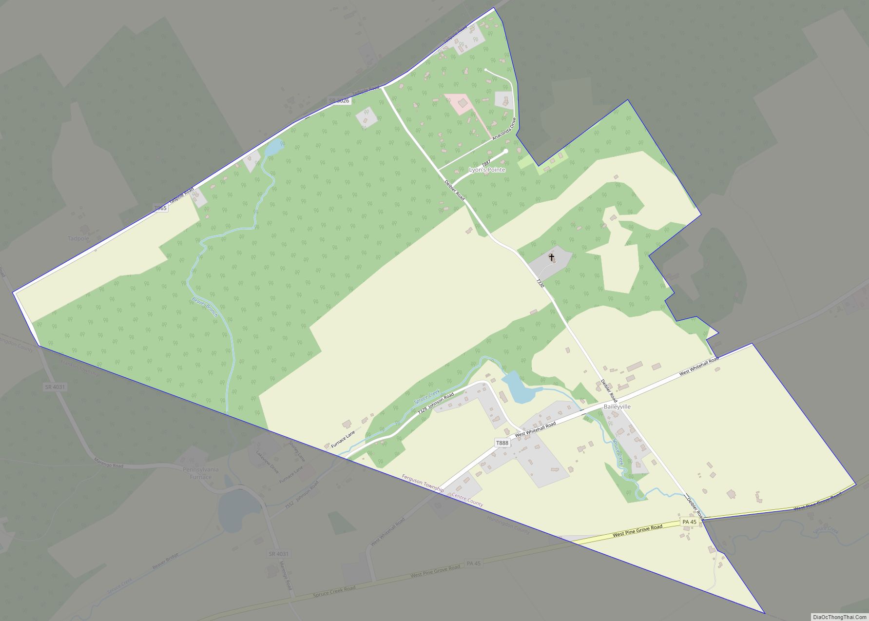
Baileyville is a census-designated place in the southern portion of Ferguson Township, Centre County, Pennsylvania. As of the 2010 census, the population was 201 residents. It is located about 4 miles (6 km) southwest of the community of Ramblewood, near Pennsylvania Route 45. It is in the valley of Spruce Creek, a southwest-flowing tributary of the ... Read more
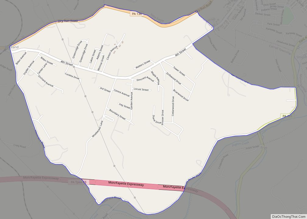
Baidland is a census-designated place (CDP) in Washington County, Pennsylvania, United States. The population was 1,563 at the 2010 census. Baidland CDP overview: Name: Baidland CDP LSAD Code: 57 LSAD Description: CDP (suffix) State: Pennsylvania County: Washington County Total Area: 2.14 sq mi (5.55 km²) Land Area: 2.14 sq mi (5.55 km²) Water Area: 0.00 sq mi (0.00 km²) Total Population: 1,509 Population Density: ... Read more
Baden is a borough in southeastern Beaver County, Pennsylvania, along the Ohio River. The population was 3,912 at the 2020 census. It is part of the Pittsburgh metropolitan area. Baden is the former site of Logstown, a significant Native American settlement. Baden borough overview: Name: Baden borough LSAD Code: 21 LSAD Description: borough (suffix) State: ... Read more
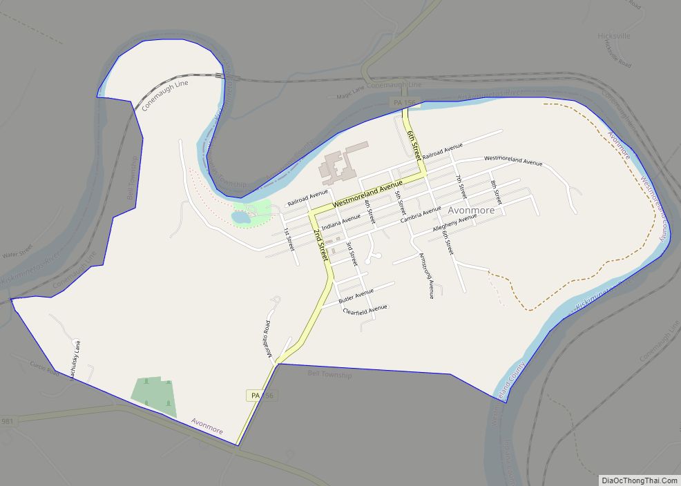
Avonmore is a borough in Westmoreland County, Pennsylvania, United States. The population was 901 at the 2020 census. Avonmore borough overview: Name: Avonmore borough LSAD Code: 21 LSAD Description: borough (suffix) State: Pennsylvania County: Westmoreland County Elevation: 1,007 ft (307 m) Total Area: 1.56 sq mi (4.03 km²) Land Area: 1.47 sq mi (3.81 km²) Water Area: 0.09 sq mi (0.22 km²) Total Population: 900 Population ... Read more
Avonia is an unincorporated community and census-designated place (CDP) in Erie County, Pennsylvania, United States. The population was 1,205 at the 2010 census, down from 1,331 in 2000. It is part of the Erie Metropolitan Statistical Area. Avonia CDP overview: Name: Avonia CDP LSAD Code: 57 LSAD Description: CDP (suffix) State: Pennsylvania County: Erie County ... Read more
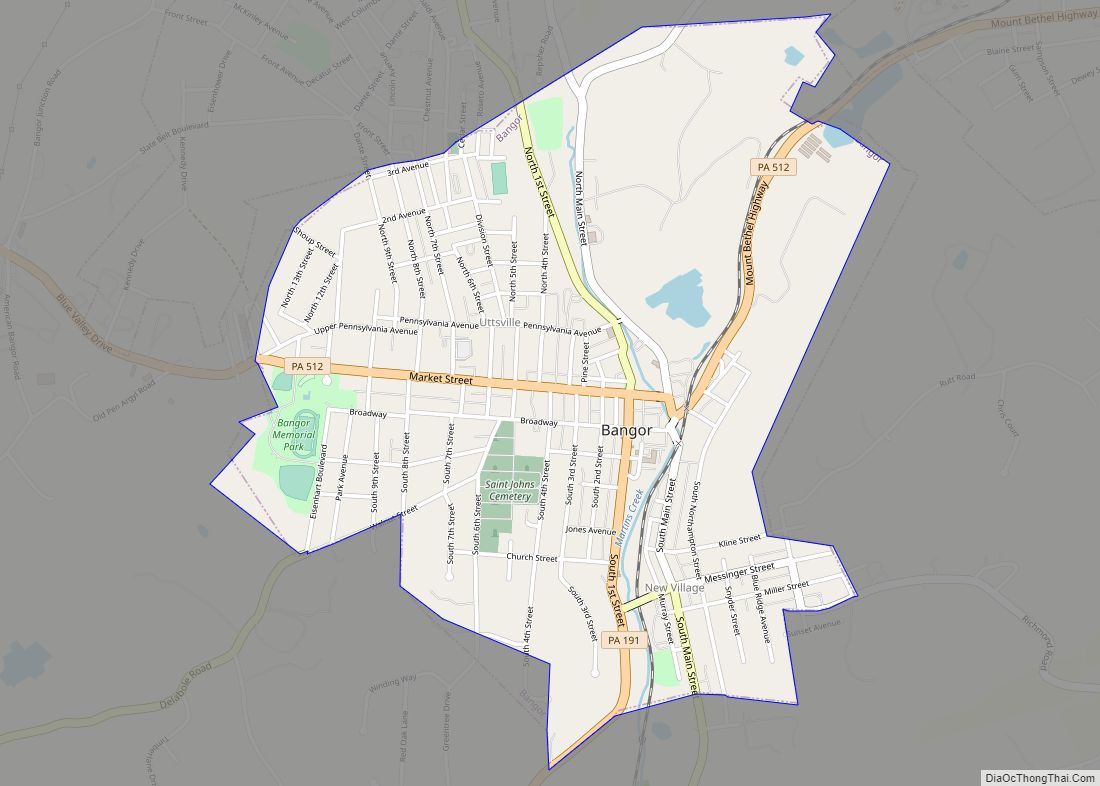
Bangor, or West Bangor, to differentiate it from its immediate neighbor East Bangor, is a borough located in Northampton County, Pennsylvania, United States. It is located 32 miles (51 km) north of Allentown. It had a population of 5,187 as of the 2020 census. Bangor is part of the Lehigh Valley metropolitan area, which had a ... Read more
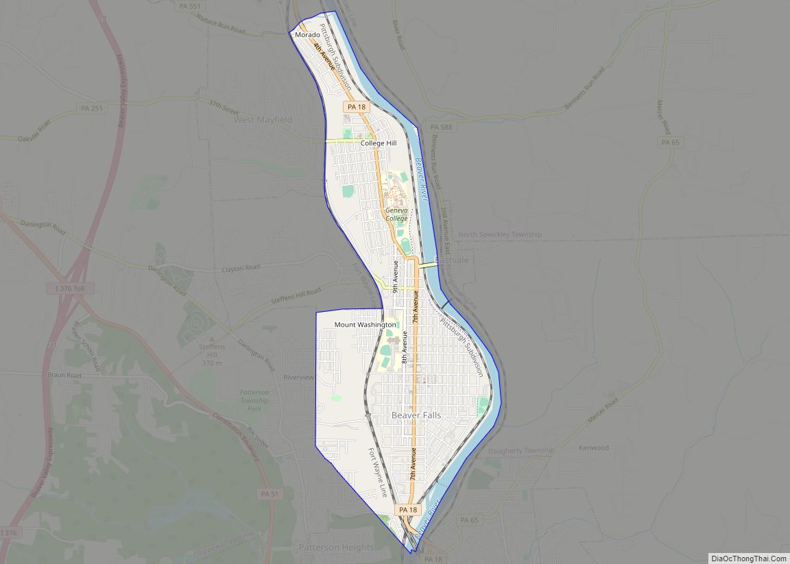
Beaver Falls is a city in Beaver County, Pennsylvania, United States. The population was 9,005 at the 2020 census. Located 31 miles (50 km) northwest of Pittsburgh, the city lies along the Beaver River, six miles (9 km) north of its confluence with the Ohio River. It is a part of the Pittsburgh metropolitan area. Beaver Falls ... Read more
