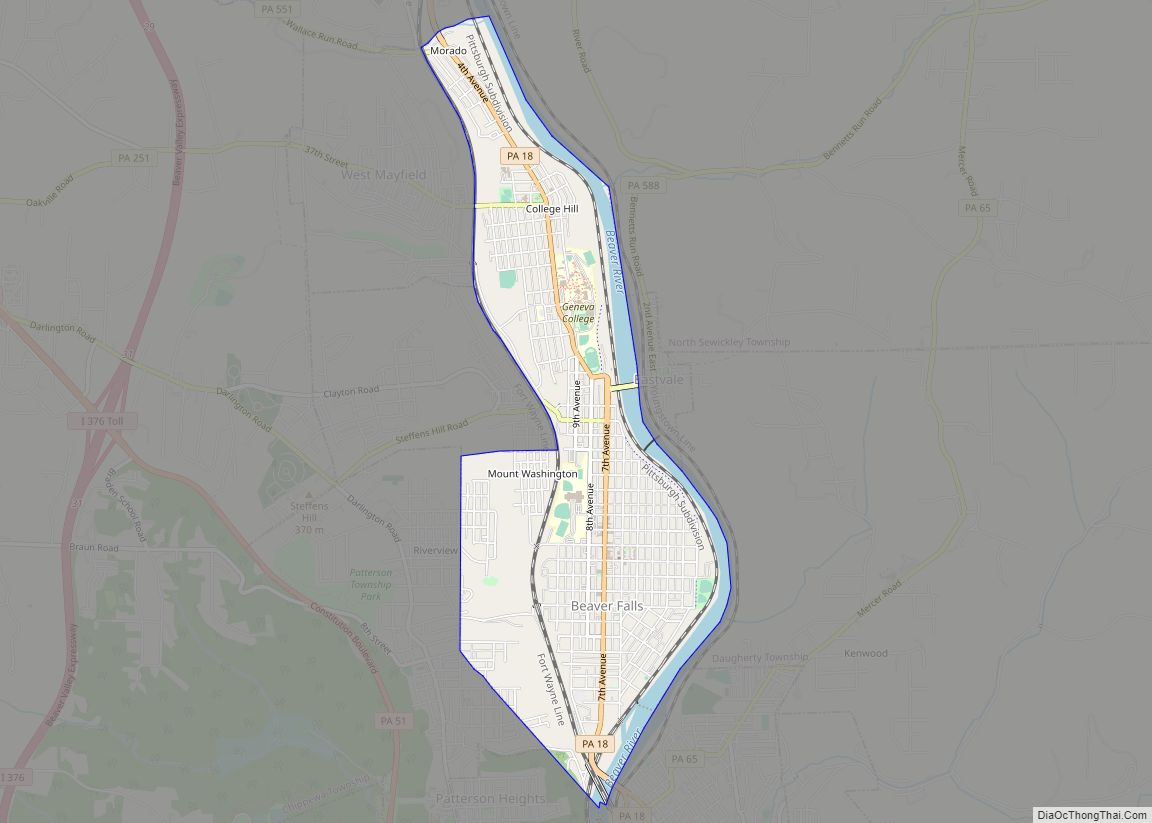
Beaver Falls is a city in Beaver County, Pennsylvania, United States. The population was 9,005 at the 2020 census. Located 31 miles (50 km) northwest of Pittsburgh, the city lies along the Beaver River, six miles (9 km) north of its confluence with the Ohio River. It is a part of the Pittsburgh metropolitan area.
| Name: | Beaver Falls city |
|---|---|
| LSAD Code: | 25 |
| LSAD Description: | city (suffix) |
| State: | Pennsylvania |
| County: | Beaver County |
| Incorporated: | November 9, 1868 (borough) December 3, 1928 (city) |
| Total Area: | 2.36 sq mi (6.11 km²) |
| Land Area: | 2.13 sq mi (5.53 km²) |
| Water Area: | 0.22 sq mi (0.58 km²) |
| Total Population: | 9,005 |
| Population Density: | 4,217.80/sq mi (1,628.15/km²) |
| ZIP code: | 15010 |
| FIPS code: | 4204792 |
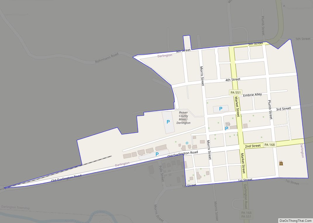
Online Interactive Map
Click on ![]() to view map in "full screen" mode.
to view map in "full screen" mode.
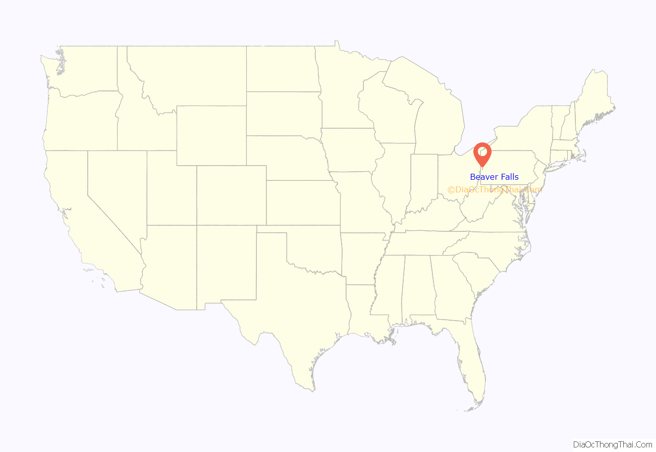
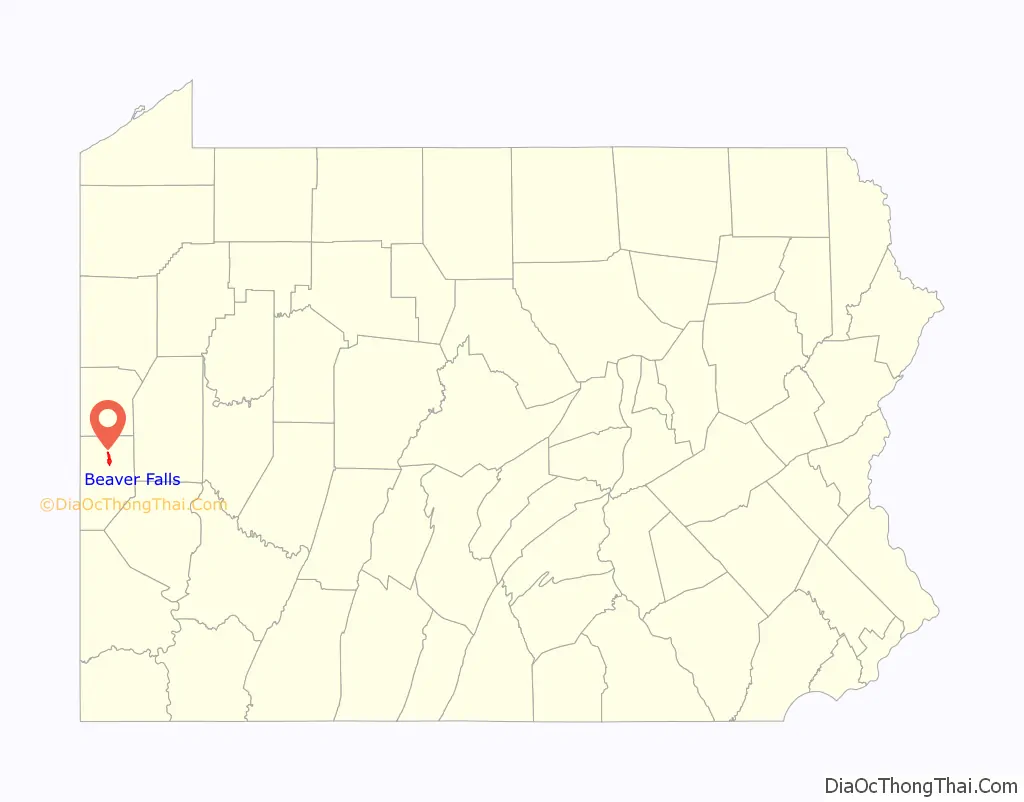
Beaver Falls location map. Where is Beaver Falls city?
History
The area of present-day Beaver Falls was first mentioned in 1770 in the journals of David Zeisberger, a Moravian Church missionary who eventually settled in present-day Lawrence County. A Lenape chief named Pakanke took Zeisberger to the valley surrounding the Beaver River, where the Lenape owned a large tract of open land which Zeisberger was given access to. In April 1770, Zeisberger and his followers set out in 16 canoes down the Allegheny and Ohio rivers, reaching the mouth of the Beaver three days later. They made their way up to what was called the “Falls of the Beaver,” where they encamped. Early settlers included Dr. Samuel and Milo Adams around the upper falls, whilst David Hoopes and Isaac Wilson developed the middle falls. The town originally formed around the middle falls area was named Brighton after Brighton, England, which was the hometown of the area’s surveyors.
Despite early promise through the canal business on the falls, the town fell behind neighboring New Brighton after repeated poor economic periods. The earlier proprietors sold the land to the Harmony Society in 1859. The Harmonists immediately brought in surveyors to re-plan Brighton, laying out a town twice the size of the original, paving several main streets with brick and officially changing the name of the community to Beaver Falls. The rapid revitalization of the community allowed it to gain borough status on November 9, 1868. In the 1870s, Beaver Falls was home to a Chinatown and had up to 225 Chinese residents, brought in to work at Beaver Falls Cutlery Company moved in to the borough by the Harmonists.
On May 31, 1985, an F3 tornado hit just north of the city as it went across northern portions of Beaver County, as part of the 1985 United States-Canadian tornado outbreak.
The population declined nearly 50% between 1940 and 2000, which is attributed mostly to its central location in the Rust Belt.
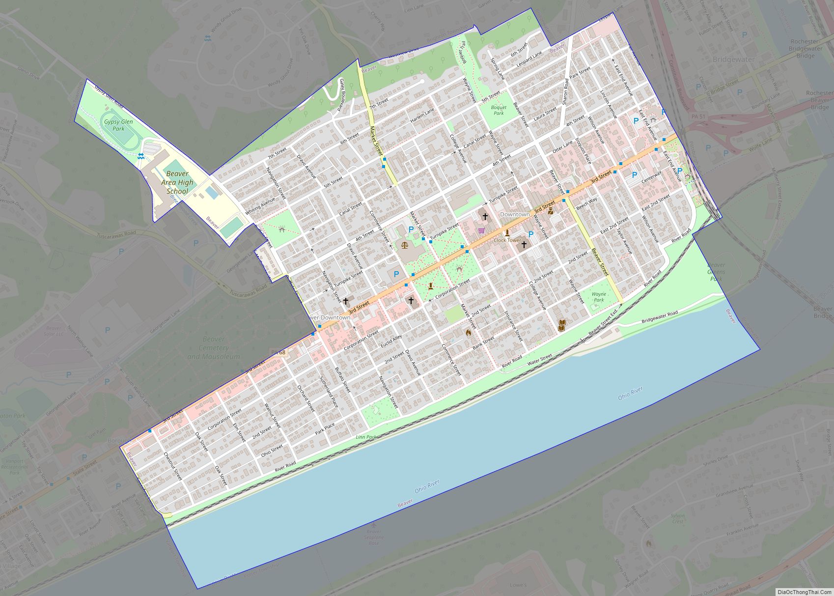
Beaver Falls Road Map
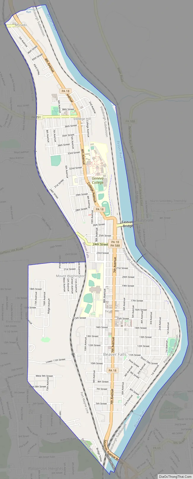
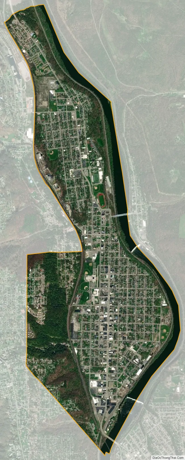
Beaver Falls city Satellite Map
Geography
Beaver Falls is located at 40°45′32″N 80°19′11″W / 40.75889°N 80.31972°W / 40.75889; -80.31972 (40.758865, -80.319737).
Climate
Beaver Falls experiences a humid continental climate with cold winters and hot summers. The hottest month is July with a mean temperature of 72.1 °F (22.3 °C) and the coldest month is January with a mean temperature of 27.6 °F (−2.4 °C).
See also
Map of Pennsylvania State and its subdivision:- Adams
- Allegheny
- Armstrong
- Beaver
- Bedford
- Berks
- Blair
- Bradford
- Bucks
- Butler
- Cambria
- Cameron
- Carbon
- Centre
- Chester
- Clarion
- Clearfield
- Clinton
- Columbia
- Crawford
- Cumberland
- Dauphin
- Delaware
- Elk
- Erie
- Fayette
- Forest
- Franklin
- Fulton
- Greene
- Huntingdon
- Indiana
- Jefferson
- Juniata
- Lackawanna
- Lancaster
- Lawrence
- Lebanon
- Lehigh
- Luzerne
- Lycoming
- Mc Kean
- Mercer
- Mifflin
- Monroe
- Montgomery
- Montour
- Northampton
- Northumberland
- Perry
- Philadelphia
- Pike
- Potter
- Schuylkill
- Snyder
- Somerset
- Sullivan
- Susquehanna
- Tioga
- Union
- Venango
- Warren
- Washington
- Wayne
- Westmoreland
- Wyoming
- York
- Alabama
- Alaska
- Arizona
- Arkansas
- California
- Colorado
- Connecticut
- Delaware
- District of Columbia
- Florida
- Georgia
- Hawaii
- Idaho
- Illinois
- Indiana
- Iowa
- Kansas
- Kentucky
- Louisiana
- Maine
- Maryland
- Massachusetts
- Michigan
- Minnesota
- Mississippi
- Missouri
- Montana
- Nebraska
- Nevada
- New Hampshire
- New Jersey
- New Mexico
- New York
- North Carolina
- North Dakota
- Ohio
- Oklahoma
- Oregon
- Pennsylvania
- Rhode Island
- South Carolina
- South Dakota
- Tennessee
- Texas
- Utah
- Vermont
- Virginia
- Washington
- West Virginia
- Wisconsin
- Wyoming