Baden is a borough in southeastern Beaver County, Pennsylvania, along the Ohio River. The population was 3,912 at the 2020 census. It is part of the Pittsburgh metropolitan area. Baden is the former site of Logstown, a significant Native American settlement.
| Name: | Baden borough |
|---|---|
| LSAD Code: | 21 |
| LSAD Description: | borough (suffix) |
| State: | Pennsylvania |
| County: | Beaver County |
| Incorporated: | 1858 |
| Elevation: | 827 ft (252 m) |
| Total Area: | 2.48 sq mi (6.43 km²) |
| Land Area: | 2.26 sq mi (5.86 km²) |
| Water Area: | 0.22 sq mi (0.58 km²) |
| Total Population: | 3,904 |
| Population Density: | 1,726.67/sq mi (666.76/km²) |
| Area code: | 724 |
| FIPS code: | 4203736 |
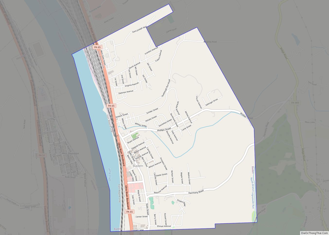
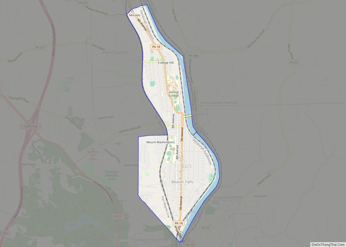
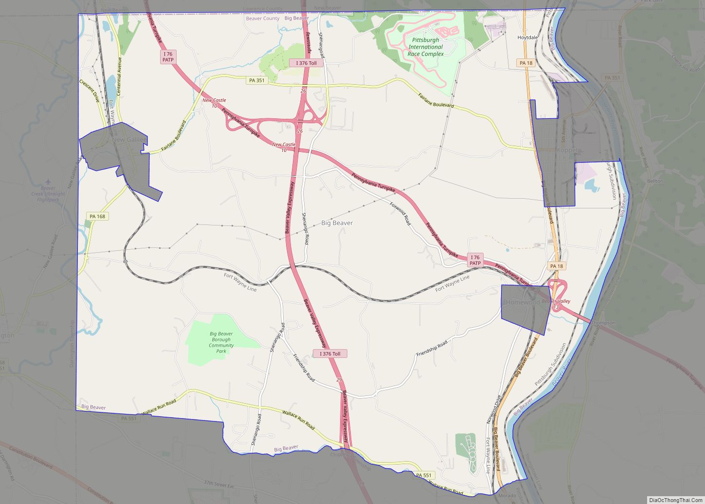
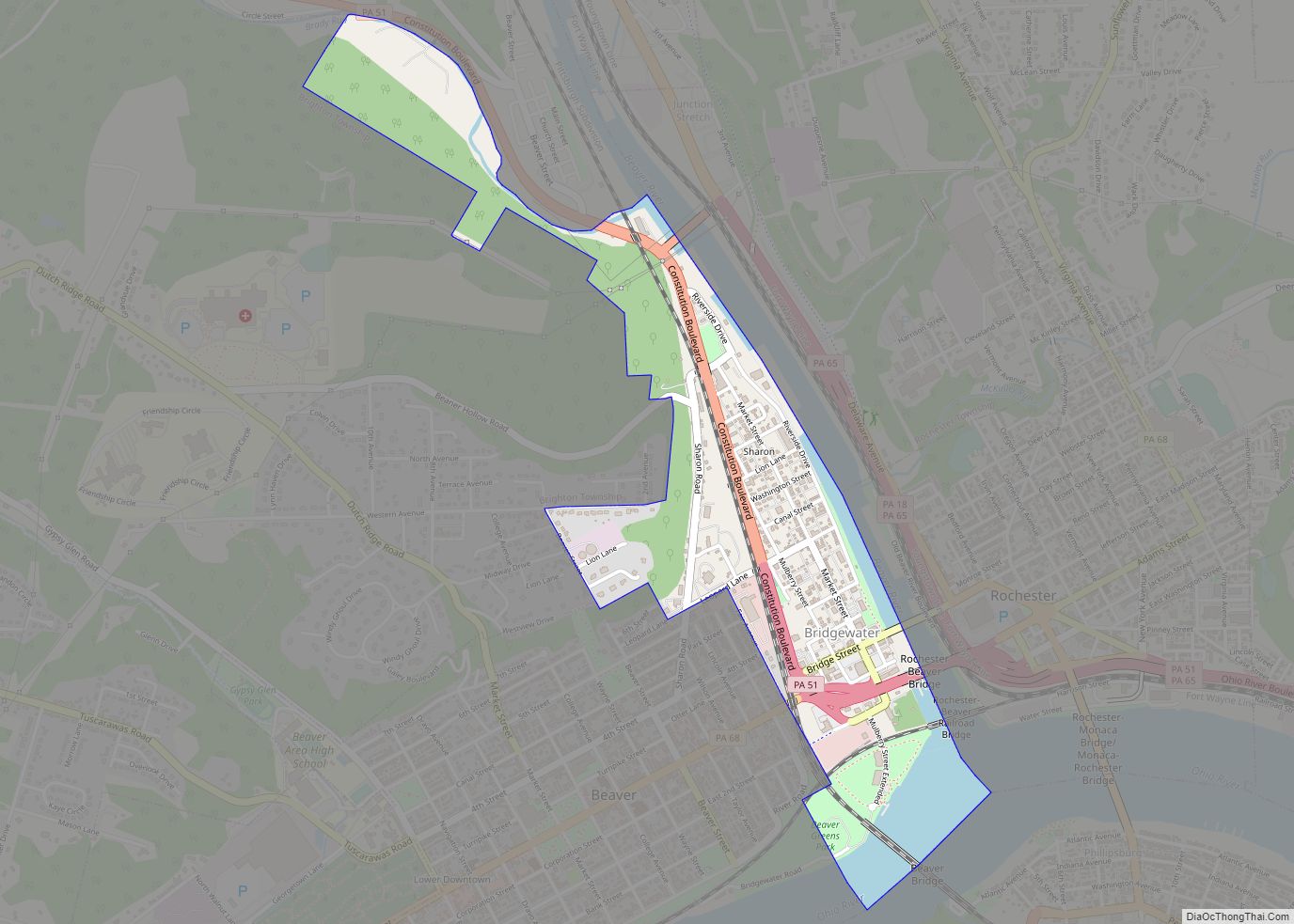
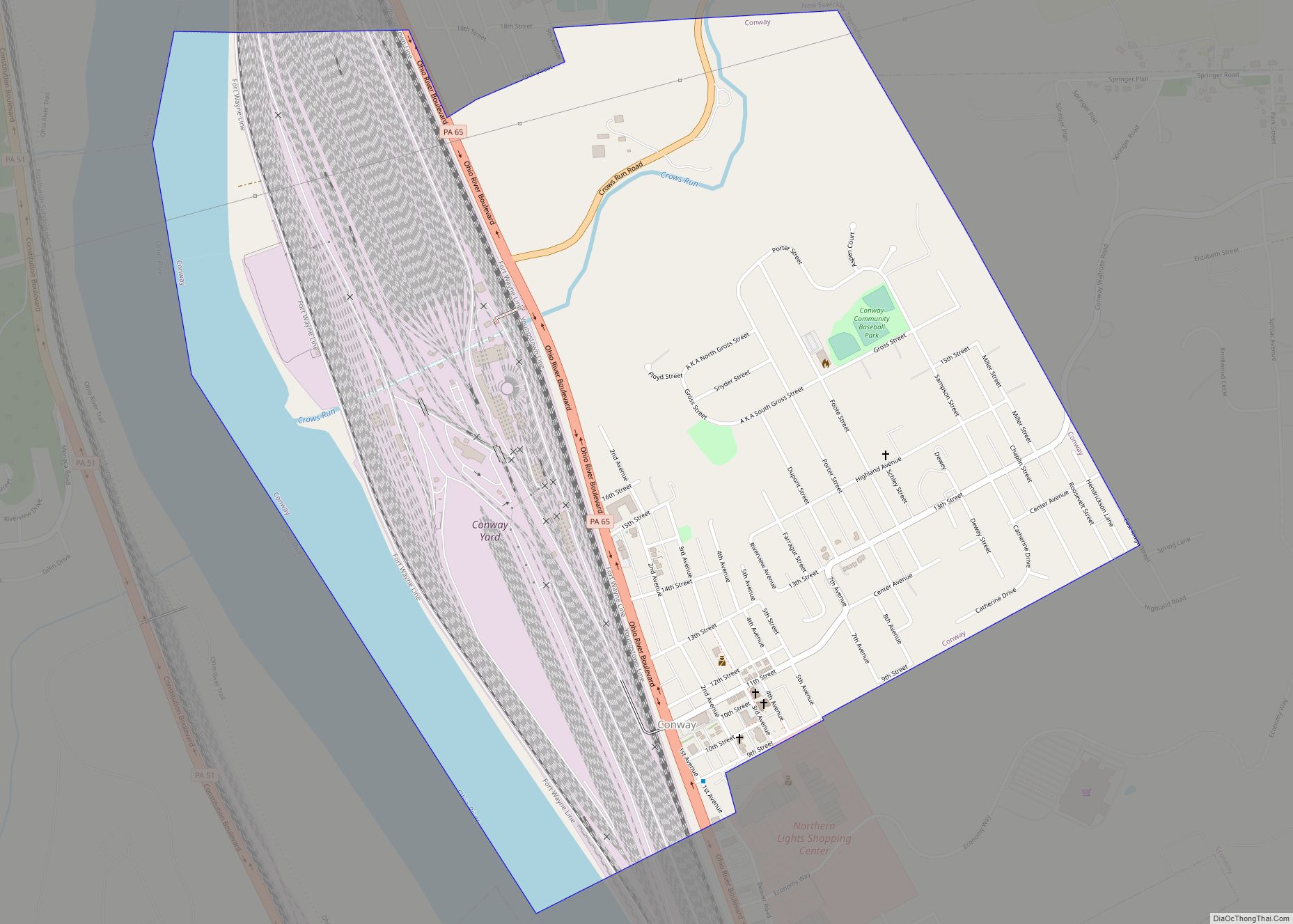
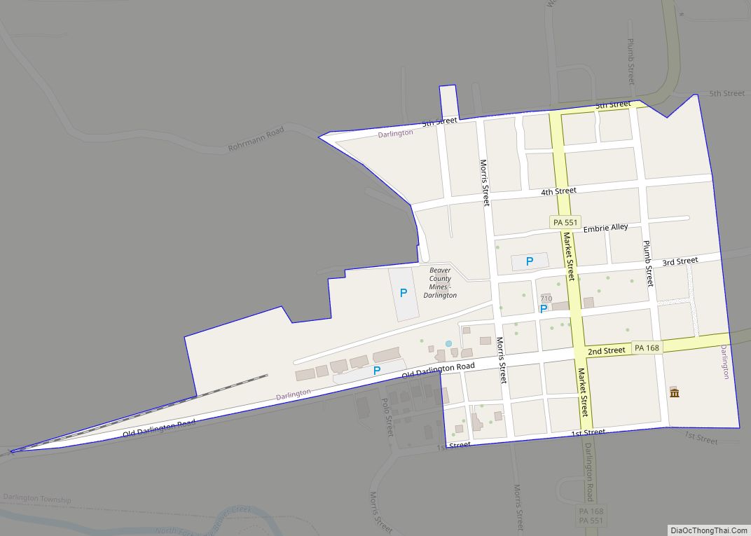
Online Interactive Map
Click on ![]() to view map in "full screen" mode.
to view map in "full screen" mode.
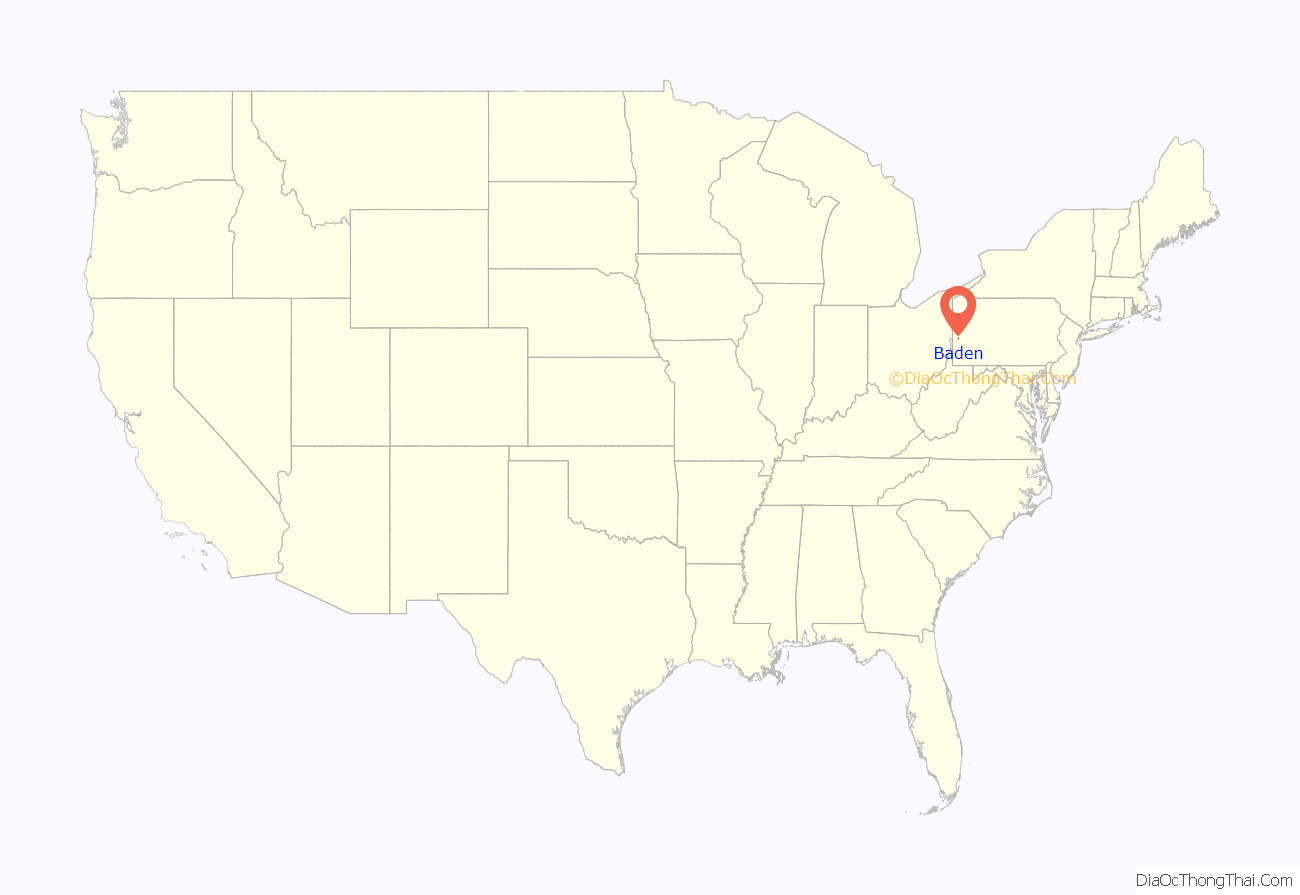
Baden location map. Where is Baden borough?

History
The site of Baden was the location of Logstown, a Native American village. The Treaty of Logstown was signed by representatives of the Iroquois Confederation, Lenape and Shawnee leaders there; George Washington visited the area to speak with the Natives himself under Queen Alliquippa. The oldest recorded house in Baden was built in the early 1800s, and it became a stopping place for farmers on their way to Pittsburgh to sell their livestock. Baden was founded as a village in 1838 and was named after the German resort town of Baden-Baden at the border of the Black Forest.
Early on, Baden was home to boat building yards, quarries, a lath mill and a gristmill. After Baden was established as a borough in 1858, it grew with the appearance of steel mills and oil wells in the area as well as the growth of the railroads, including the nearby Conway Yard, now operated by Norfolk Southern.
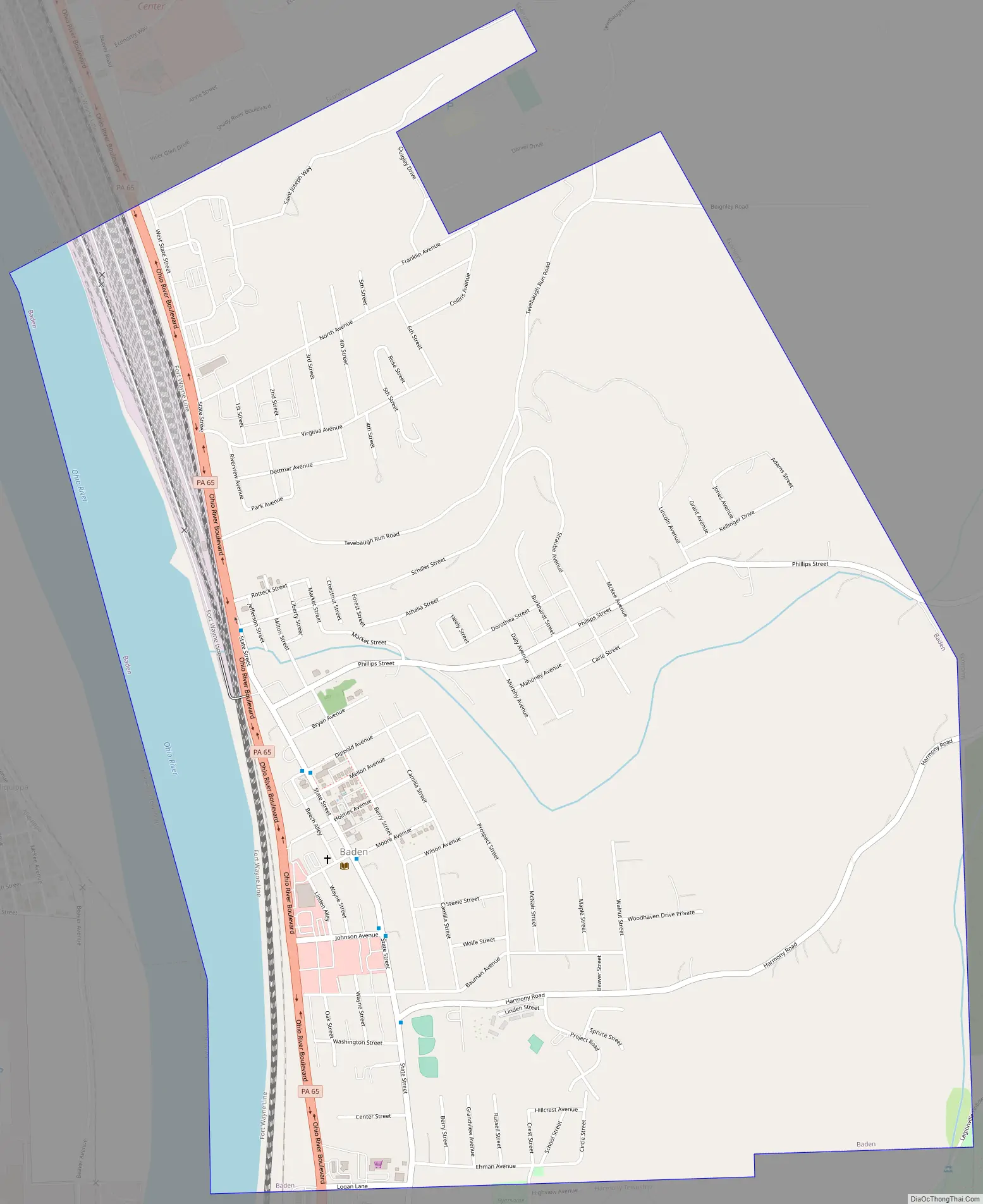
Baden Road Map
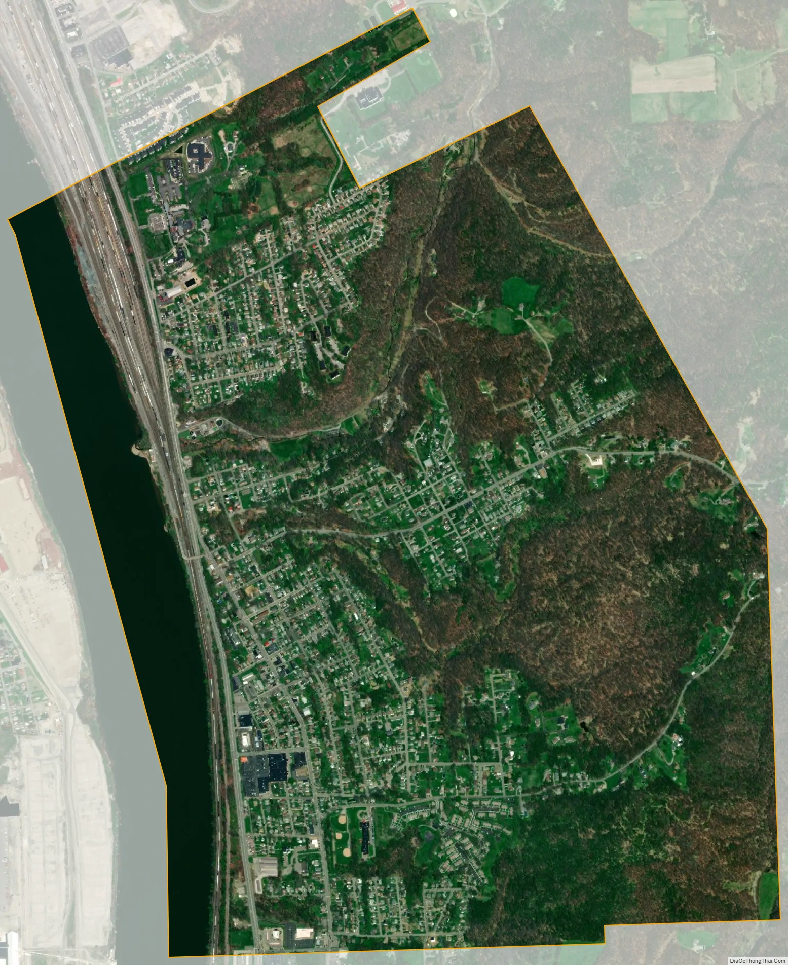
Baden city Satellite Map
Geography
Baden is located at 40°38′23″N 80°13′36″W / 40.63972°N 80.22667°W / 40.63972; -80.22667 (40.639847, -80.226727). It is approximately 20 miles northwest of Pittsburgh.
According to the United States Census Bureau, the borough has a total area of 2.5 square miles (6.5 km), of which 2.3 square miles (6.0 km) is land and 0.2 square miles (0.5 km) (8.03%) is water.
Surrounding communities
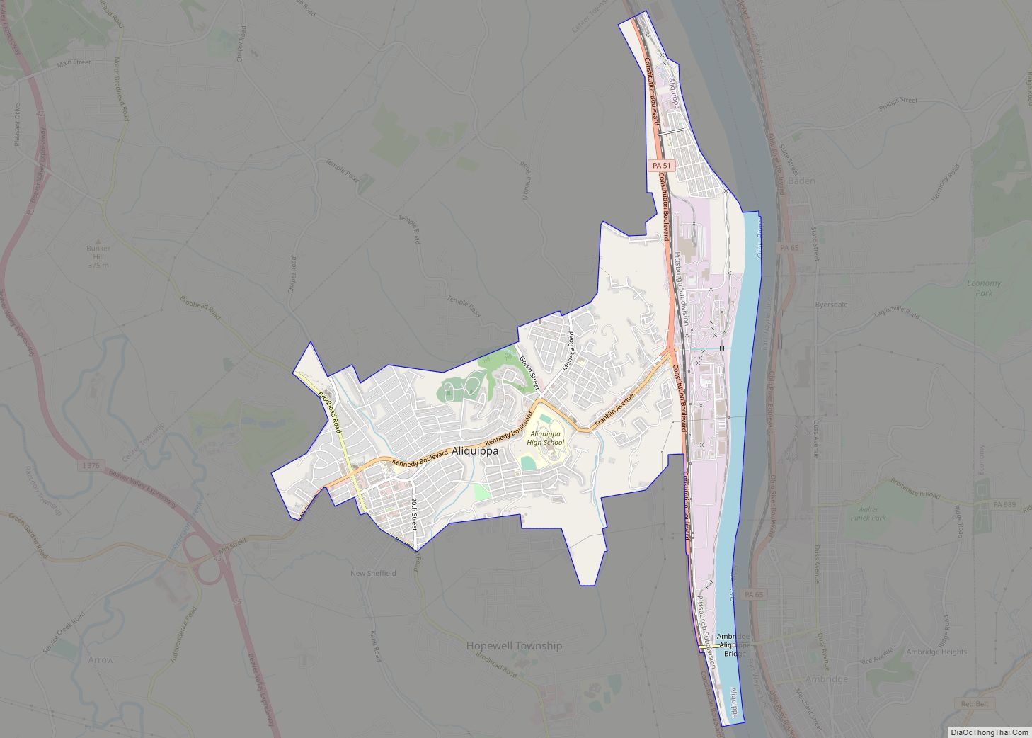
Baden borders two municipalities, with Economy to the north and east, and Harmony Township to the south. Across the Ohio River, Baden runs adjacent with Aliquippa and Hopewell Township.
See also
Map of Pennsylvania State and its subdivision:- Adams
- Allegheny
- Armstrong
- Beaver
- Bedford
- Berks
- Blair
- Bradford
- Bucks
- Butler
- Cambria
- Cameron
- Carbon
- Centre
- Chester
- Clarion
- Clearfield
- Clinton
- Columbia
- Crawford
- Cumberland
- Dauphin
- Delaware
- Elk
- Erie
- Fayette
- Forest
- Franklin
- Fulton
- Greene
- Huntingdon
- Indiana
- Jefferson
- Juniata
- Lackawanna
- Lancaster
- Lawrence
- Lebanon
- Lehigh
- Luzerne
- Lycoming
- Mc Kean
- Mercer
- Mifflin
- Monroe
- Montgomery
- Montour
- Northampton
- Northumberland
- Perry
- Philadelphia
- Pike
- Potter
- Schuylkill
- Snyder
- Somerset
- Sullivan
- Susquehanna
- Tioga
- Union
- Venango
- Warren
- Washington
- Wayne
- Westmoreland
- Wyoming
- York
- Alabama
- Alaska
- Arizona
- Arkansas
- California
- Colorado
- Connecticut
- Delaware
- District of Columbia
- Florida
- Georgia
- Hawaii
- Idaho
- Illinois
- Indiana
- Iowa
- Kansas
- Kentucky
- Louisiana
- Maine
- Maryland
- Massachusetts
- Michigan
- Minnesota
- Mississippi
- Missouri
- Montana
- Nebraska
- Nevada
- New Hampshire
- New Jersey
- New Mexico
- New York
- North Carolina
- North Dakota
- Ohio
- Oklahoma
- Oregon
- Pennsylvania
- Rhode Island
- South Carolina
- South Dakota
- Tennessee
- Texas
- Utah
- Vermont
- Virginia
- Washington
- West Virginia
- Wisconsin
- Wyoming