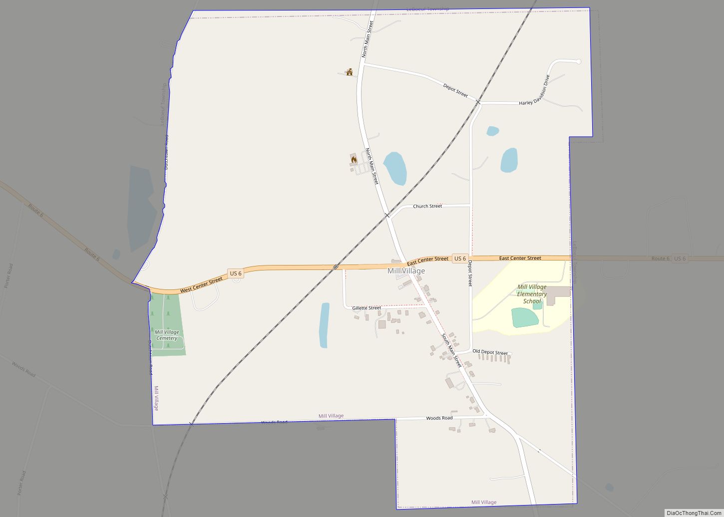
Mill Village is a borough in Erie County, Pennsylvania, United States. The population was 394 at the 2020 census, down from 412 during the 2010 census. It is part of the Erie Metropolitan Statistical Area. Mill Village borough overview: Name: Mill Village borough LSAD Code: 21 LSAD Description: borough (suffix) State: Pennsylvania County: Erie County ... Read more
Pennsylvania Cities and Places
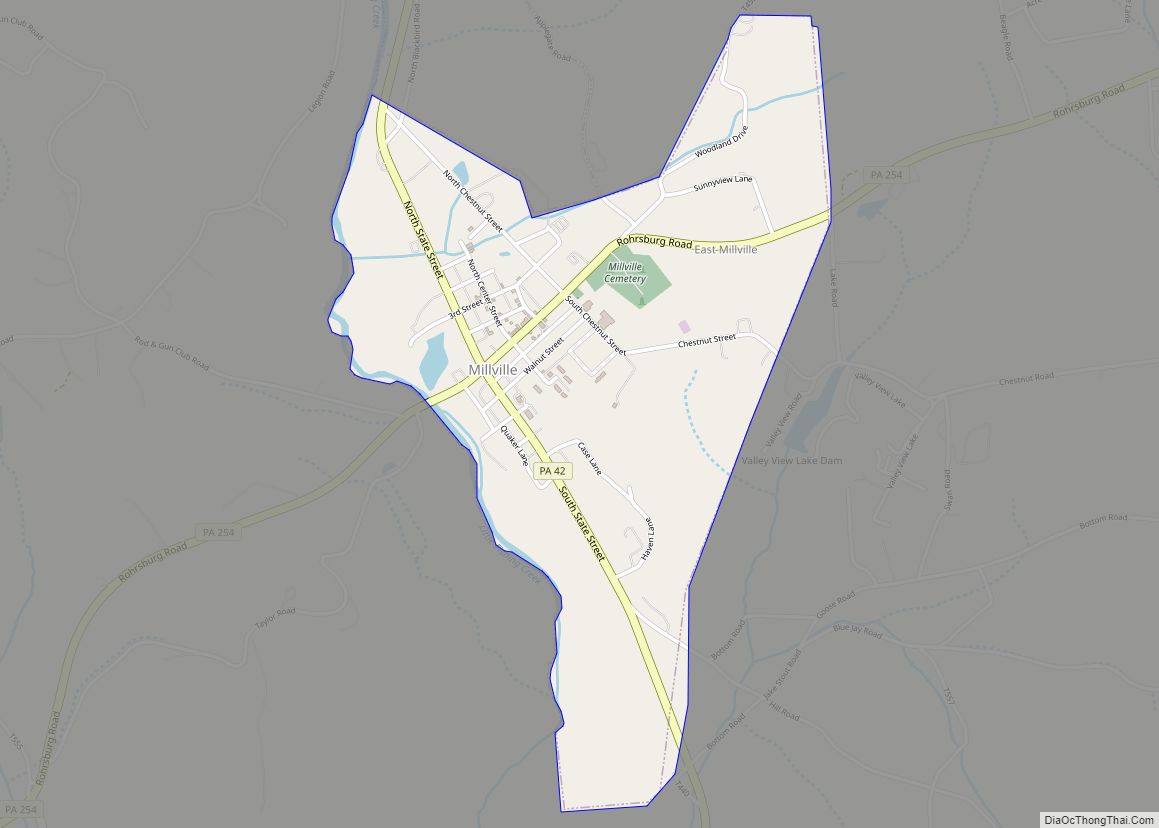
Millville is a borough in Columbia County, Pennsylvania, United States. It is part of Northeastern Pennsylvania. As of the 2020 census it had a population of 976. It is part of the Bloomsburg-Berwick micropolitan area. Millville borough overview: Name: Millville borough LSAD Code: 21 LSAD Description: borough (suffix) State: Pennsylvania County: Columbia County Incorporated: 1892 ... Read more
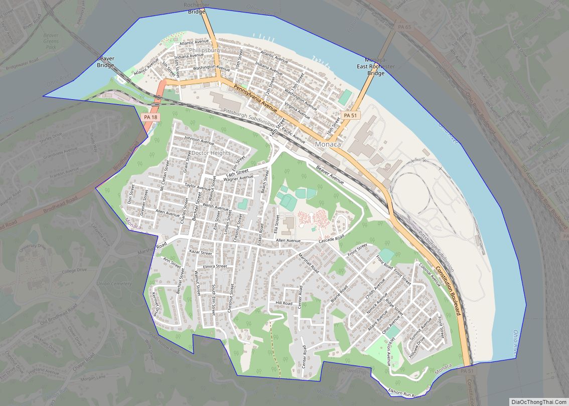
Monaca (/mɪˈnækə/ mi-NAK-ə) is a borough in Beaver County, Pennsylvania, United States along the Ohio River, 25 miles (40 km) northwest of Pittsburgh. The population was 5,615 as of the 2020 census. First incorporated as Phillipsburg as the home of the New Philadelphia Society, its name was changed to Monaca in honor of the Native American ... Read more
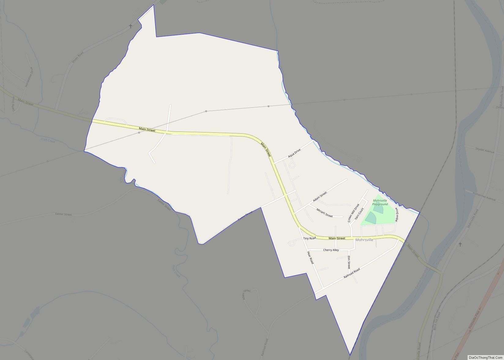
Mohrsville is a census-designated place in Centre Township, Berks County, Pennsylvania, United States. It is located approximately three miles south of the borough of Shoemakersville, along the Schuylkill River. As of the 2010 census, the population was 383 residents. Mohrsville CDP overview: Name: Mohrsville CDP LSAD Code: 57 LSAD Description: CDP (suffix) State: Pennsylvania County: ... Read more
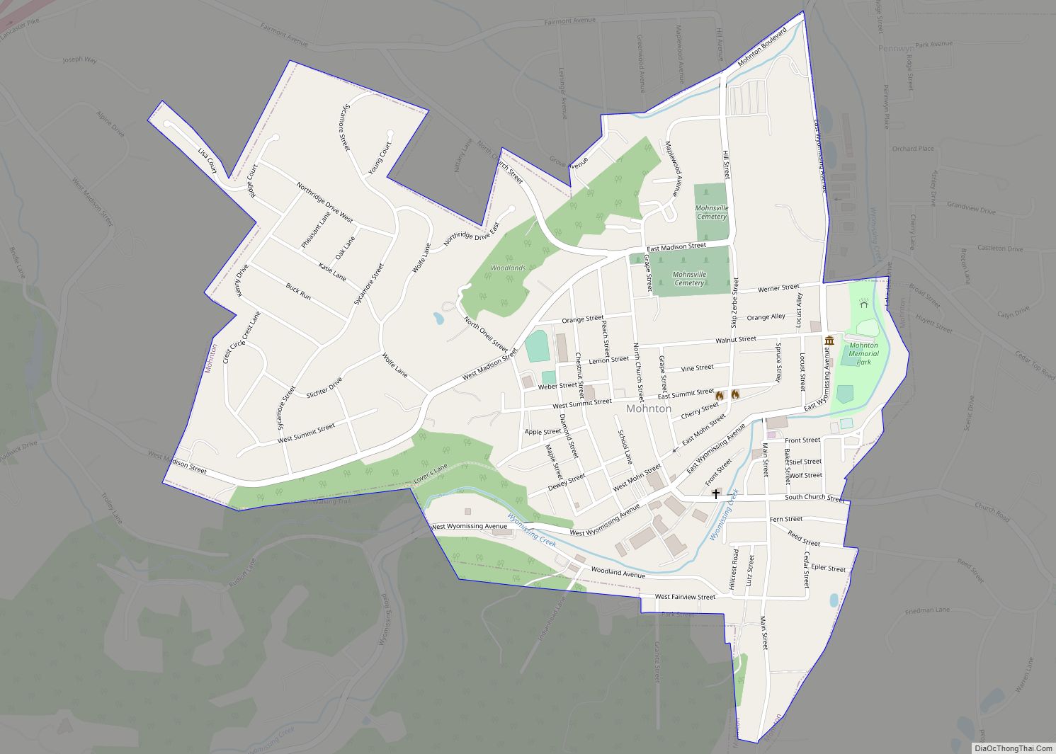
Mohnton is a borough in Berks County, Pennsylvania, United States. It had a population of 3,043 in the 2010 census. Mohnton borough overview: Name: Mohnton borough LSAD Code: 21 LSAD Description: borough (suffix) State: Pennsylvania County: Berks County Elevation: 489 ft (149 m) Total Area: 0.77 sq mi (1.99 km²) Land Area: 0.76 sq mi (1.98 km²) Water Area: 0.01 sq mi (0.01 km²) Total Population: ... Read more
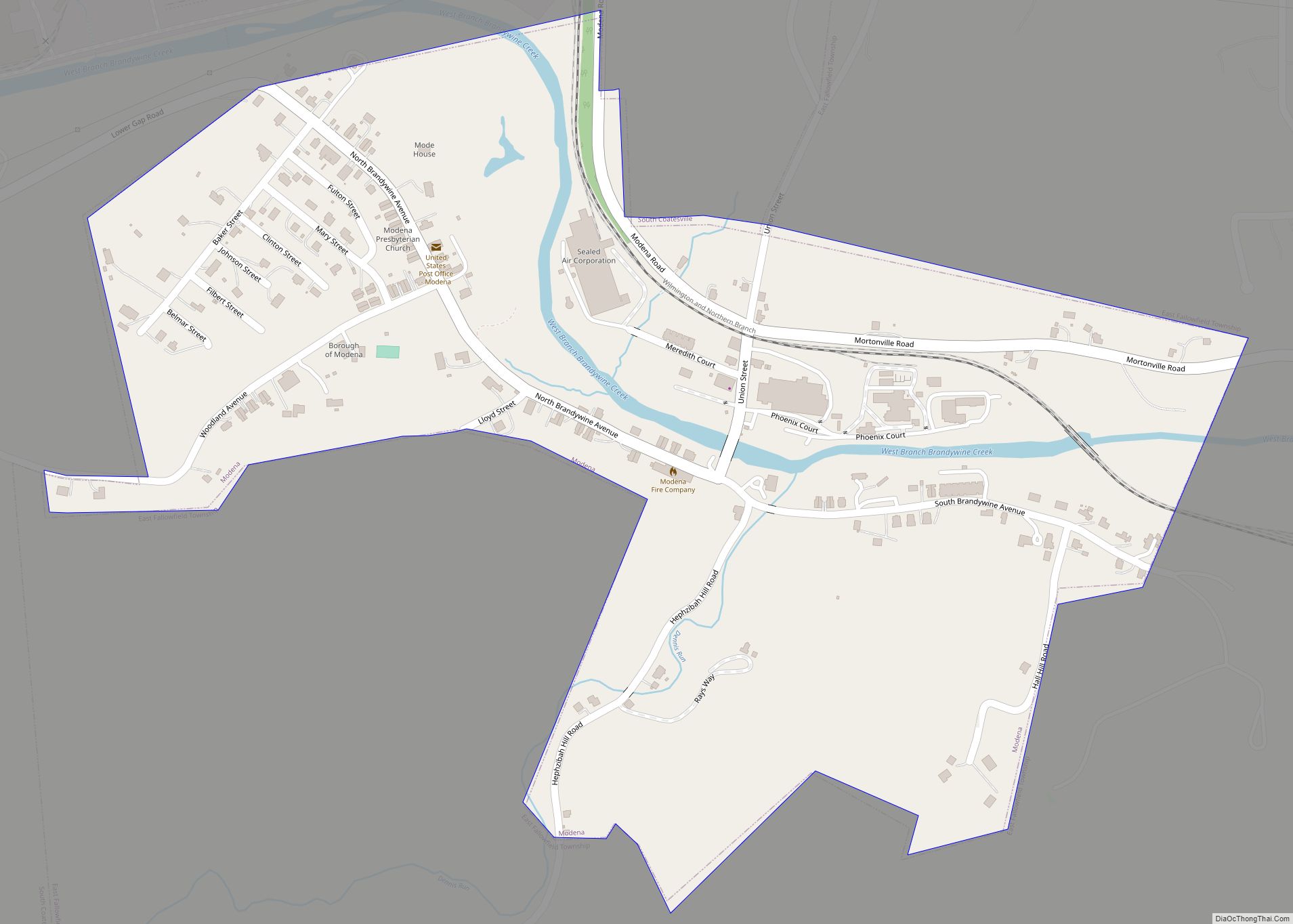
Modena is a borough in Chester County, Pennsylvania, United States. The population was 544 at the 2020 census. It was originally called Modeville, after the local Mode family. Modena borough overview: Name: Modena borough LSAD Code: 21 LSAD Description: borough (suffix) State: Pennsylvania County: Chester County Elevation: 371 ft (113 m) Total Area: 0.35 sq mi (0.91 km²) Land Area: ... Read more
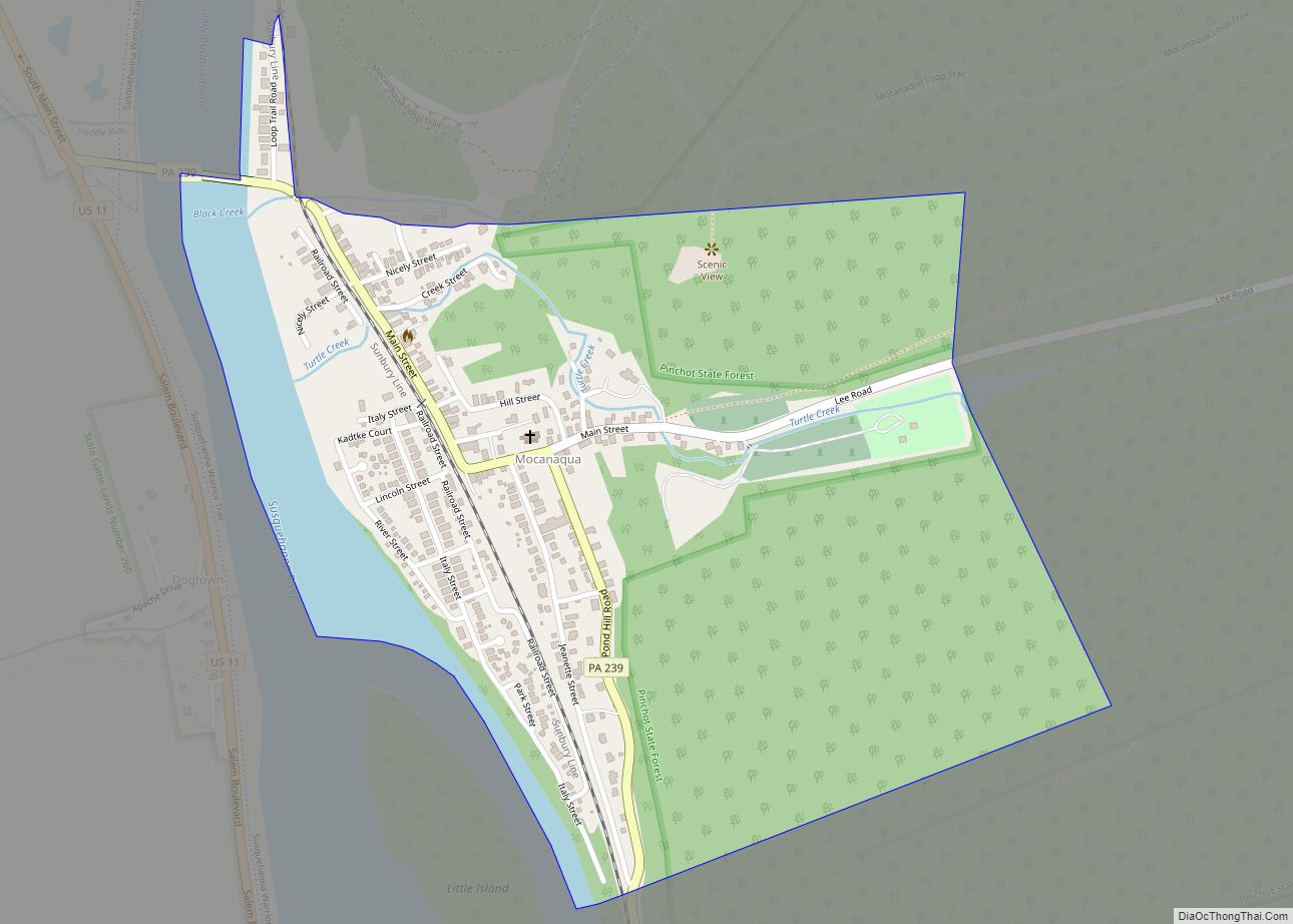
Mocanaqua is an unincorporated community and census-designated place (CDP) in Conyngham Township, Luzerne County, Pennsylvania, United States. The population was 646 at the 2010 census. Mocanaqua CDP overview: Name: Mocanaqua CDP LSAD Code: 57 LSAD Description: CDP (suffix) State: Pennsylvania County: Luzerne County Total Area: 0.54 sq mi (1.40 km²) Land Area: 0.50 sq mi (1.28 km²) Water Area: 0.04 sq mi (0.11 km²) ... Read more
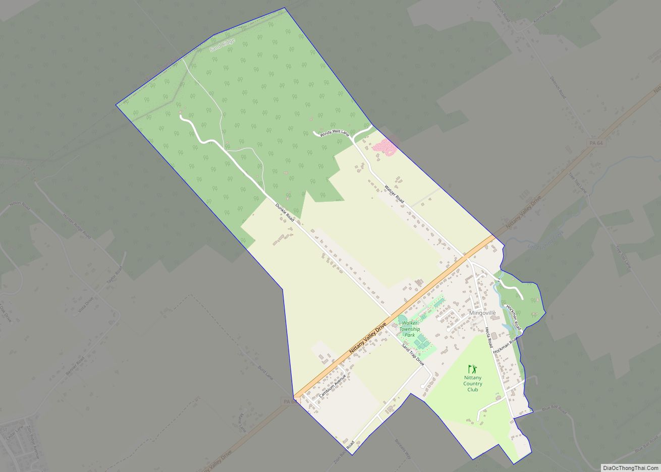
Mingoville is an unincorporated community and census-designated place (CDP) in Walker Township, Centre County, Pennsylvania, United States. As of the 2010 census, the population was 503 residents. Mingoville is located in eastern Centre County, west of the center of Walker Township, in the Nittany Valley between Nittany Mountain to the southeast and Sand Ridge to ... Read more
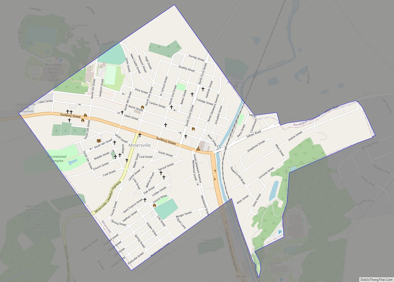
Minersville is a borough in Schuylkill County, Pennsylvania, United States. Anthracite coal deposits are plentiful in the region. The population was 4,388 at the 2020 census. Minersville is located 50.8 miles (81.8 km) west of Allentown, 100 miles (160 km) northwest of Philadelphia, and 138.4 miles (222.7 km) west of New York City. Minersville borough overview: Name: Minersville ... Read more
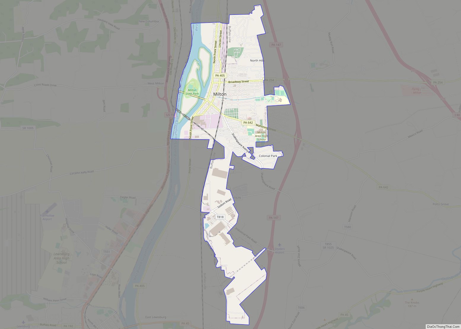
Milton is a borough in Northumberland County, Pennsylvania, United States, on the West Branch Susquehanna River, 50 miles (80 km) north of Harrisburg, located in Central Pennsylvania’s Susquehanna River Valley. It is approximately 10 miles upriver from the mouth of the West Branch Susquehanna River and about 30 miles downriver of Williamsport. Milton borough overview: Name: ... Read more
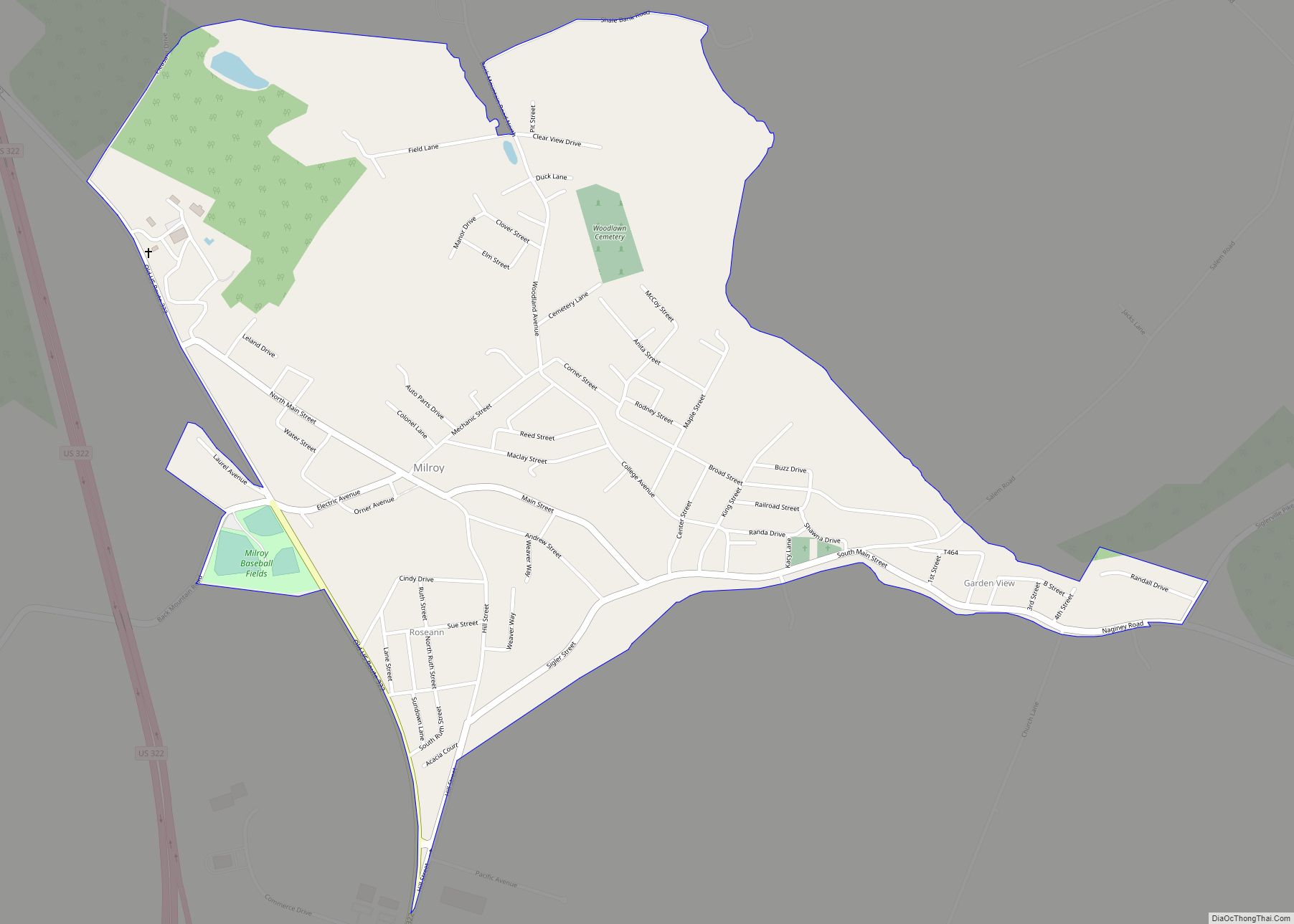
Milroy is a census-designated place (CDP) that is located in the Kishacoquillas Valley of Mifflin County, Pennsylvania, United States. The population was 1,386 at the time of the 2000 census. Milroy CDP overview: Name: Milroy CDP LSAD Code: 57 LSAD Description: CDP (suffix) State: Pennsylvania County: Mifflin County Total Area: 1.01 sq mi (2.62 km²) Land Area: 1.01 sq mi ... Read more
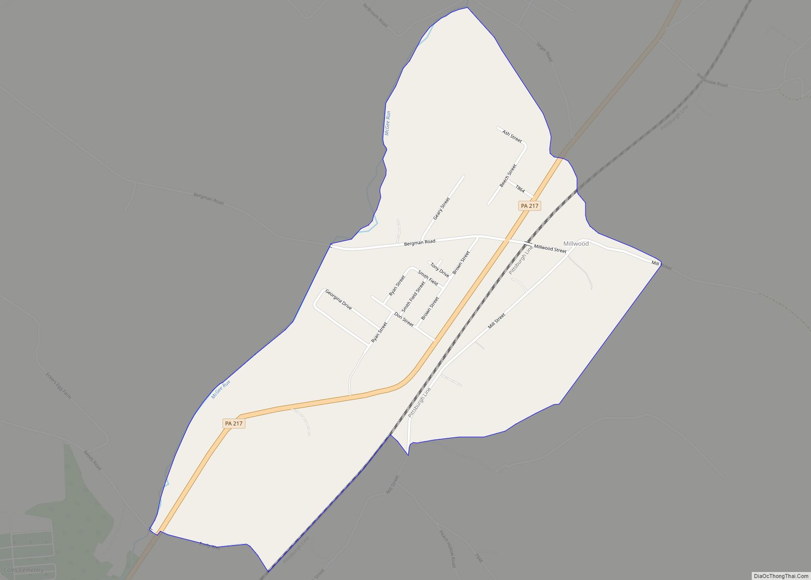
Millwood is a census-designated place and coal town located in Westmoreland County, Pennsylvania, United States. Their post office closed in 1927. It was also known as Akers. As of the 2010 census the population was 566 residents. Millwood CDP overview: Name: Millwood CDP LSAD Code: 57 LSAD Description: CDP (suffix) State: Pennsylvania County: Westmoreland County ... Read more
