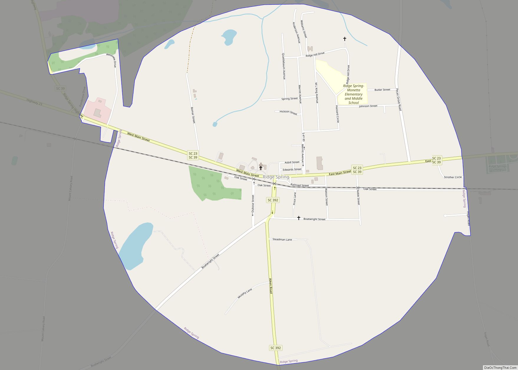
Ridge Spring is a town in Saluda County, South Carolina, United States. The population was 737 at the 2010 census. It is part of the Columbia, SC Metropolitan Statistical Area. The Mayor-Elect is Ms. Qwendolyn Etheredge. Ridge Spring town overview: Name: Ridge Spring town LSAD Code: 43 LSAD Description: town (suffix) State: South Carolina County: ... Read more
South Carolina Cities and Places
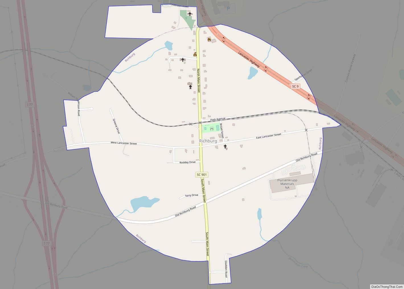
Richburg is a town in Chester County, South Carolina, United States. The population was 275 at the 2010 census, down from 332 at the 2000 census. Richburg town overview: Name: Richburg town LSAD Code: 43 LSAD Description: town (suffix) State: South Carolina County: Chester County Elevation: 584 ft (178 m) Total Area: 0.88 sq mi (2.27 km²) Land Area: 0.88 sq mi ... Read more
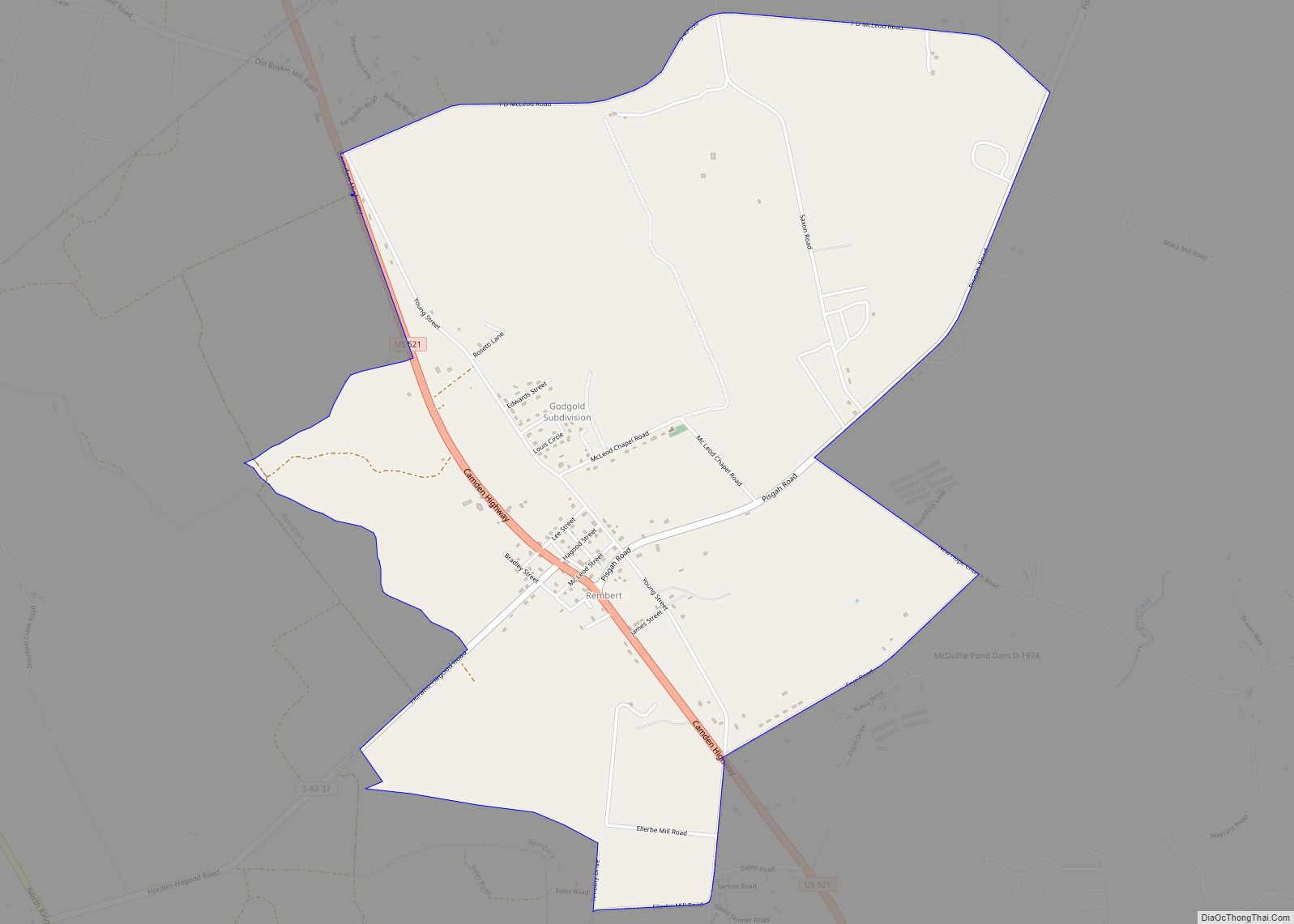
Rembert is a town in Sumter County, South Carolina, United States. The population was 306 at the 2010 census, a decline from 406 in 2000. It is included in the Sumter, South Carolina Metropolitan Statistical Area. Rembert CDP overview: Name: Rembert CDP LSAD Code: 57 LSAD Description: CDP (suffix) State: South Carolina County: Sumter County ... Read more
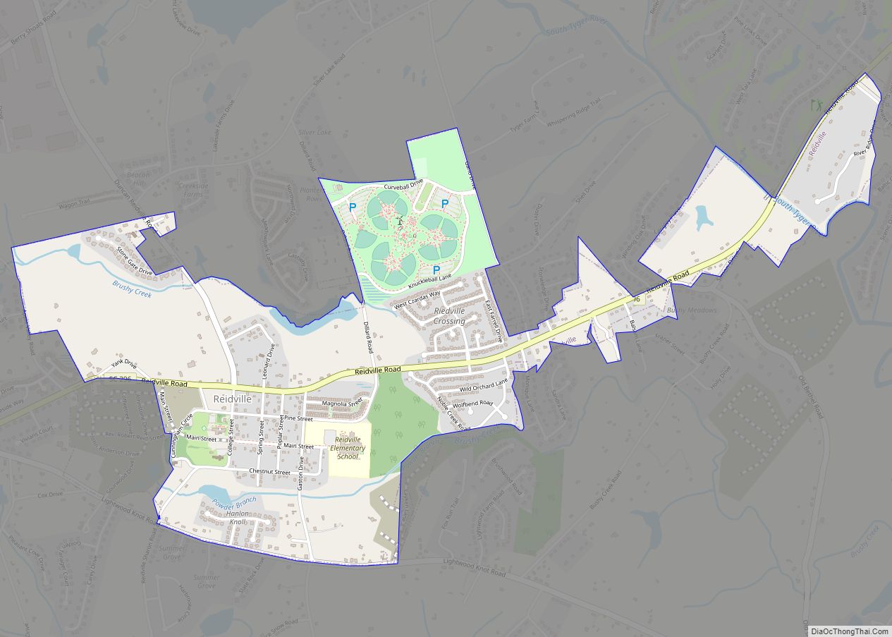
Reidville is a town in Spartanburg County, South Carolina, United States. The population was 601 at the 2010 census. Reidville town overview: Name: Reidville town LSAD Code: 43 LSAD Description: town (suffix) State: South Carolina County: Spartanburg County Elevation: 820 ft (250 m) Total Area: 1.78 sq mi (4.62 km²) Land Area: 1.76 sq mi (4.56 km²) Water Area: 0.02 sq mi (0.06 km²) Total Population: ... Read more
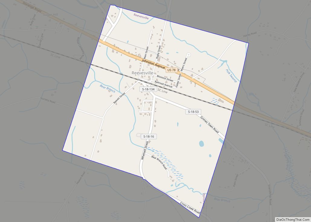
Reevesville is a town in Dorchester County, South Carolina, United States. The population was 196 at the 2010 census. As defined by the U.S. Office of Management and Budget, and used by the U.S. Census Bureau for statistical purposes only, Reevesville is included within the Charleston-North Charleston-Summerville metropolitan area. Reevesville town overview: Name: Reevesville town ... Read more
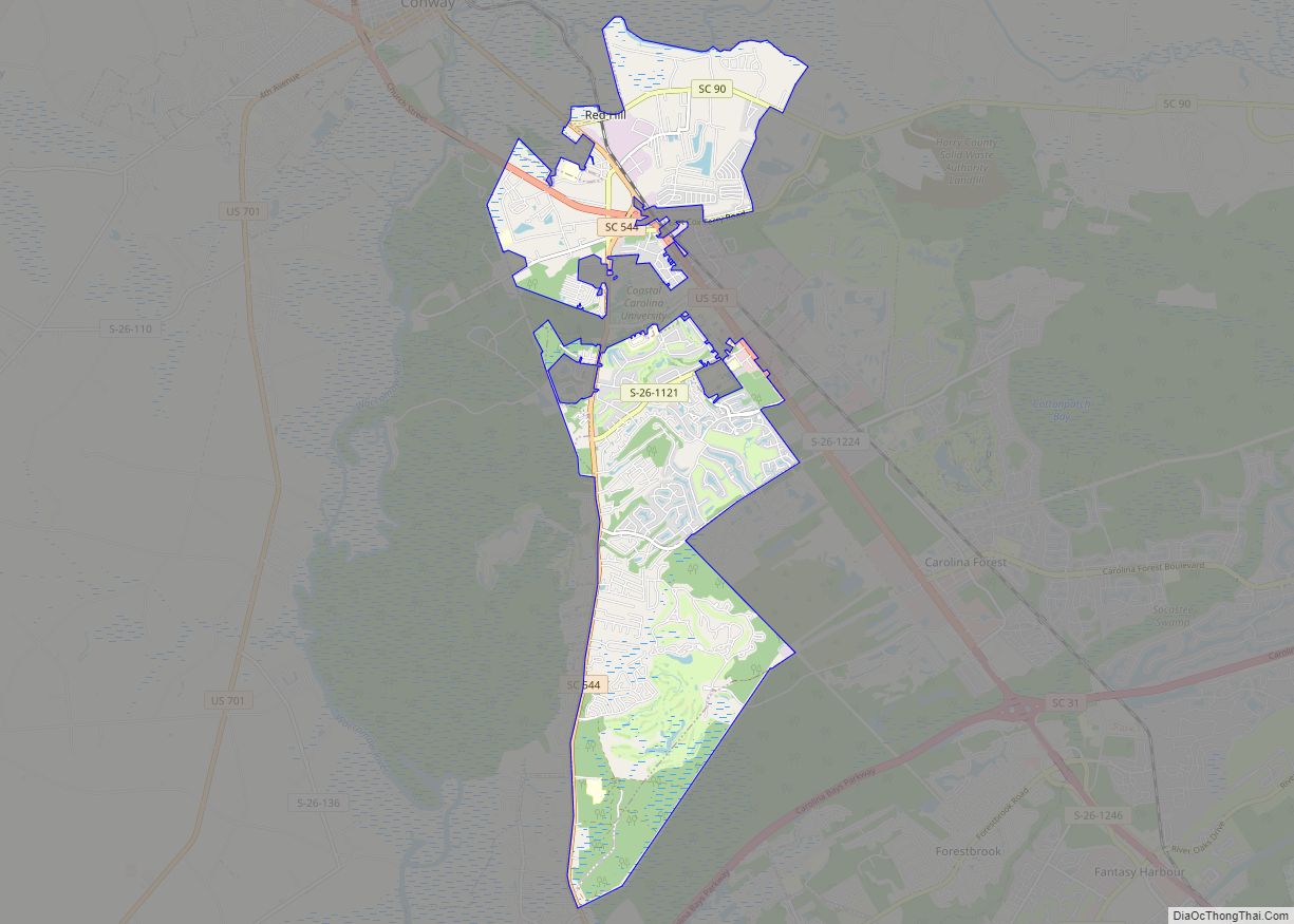
Red Hill is a census-designated place (CDP) in Horry County, South Carolina, United States. The population was 13,223 at the 2010 census, up from 10,509 at the 2000 census. Red Hill CDP overview: Name: Red Hill CDP LSAD Code: 57 LSAD Description: CDP (suffix) State: South Carolina County: Horry County Elevation: 33 ft (10 m) Total Area: ... Read more
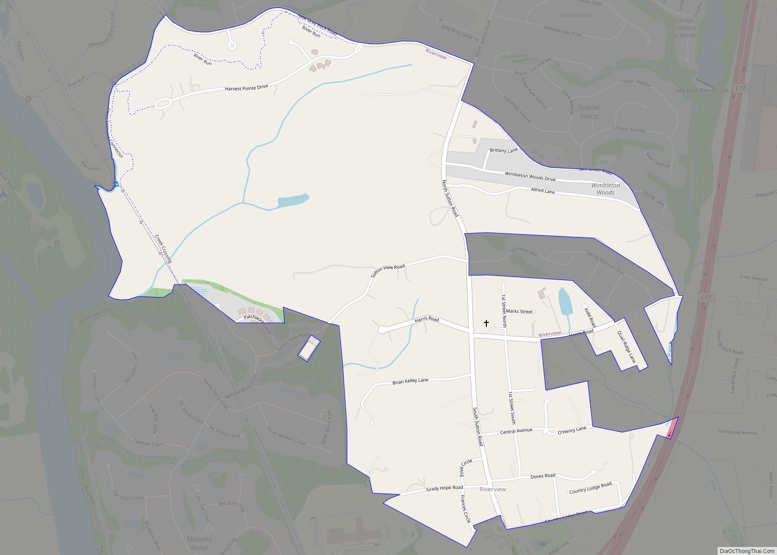
Riverview is a census-designated place (CDP) in York County, South Carolina, United States, located southwest of Fort Mill along the Catawba River. The population was 708 at the 2000 census. Riverview CDP overview: Name: Riverview CDP LSAD Code: 57 LSAD Description: CDP (suffix) State: South Carolina County: York County Elevation: 643 ft (196 m) Total Area: 1.25 sq mi ... Read more
Sans Souci (French for “no worries” or “carefree”) is a census-designated place (CDP) in Greenville County, South Carolina, United States. The population was 7,869 at the 2010 census. It is part of the Greenville-Anderson-Mauldin, SC Metropolitan Statistical Area. Sans Souci CDP overview: Name: Sans Souci CDP LSAD Code: 57 LSAD Description: CDP (suffix) State: South ... Read more
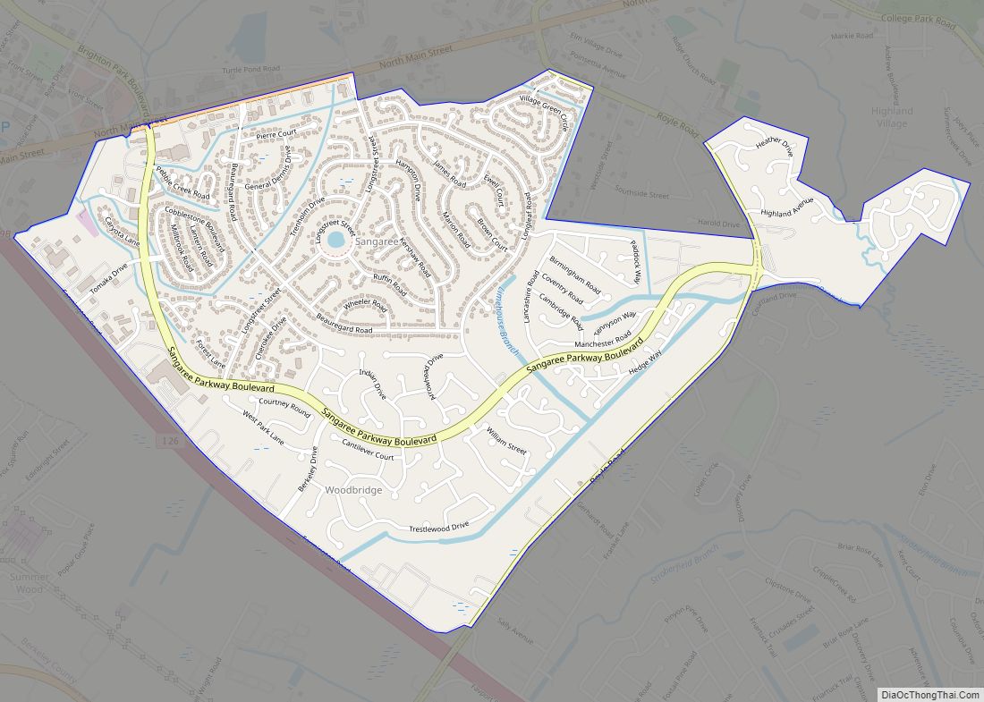
Sangaree is a census-designated place and unincorporated community in Berkeley County, South Carolina, United States. Its population was 8,220 as of the 2010 census. Sangaree has a public library, a branch of the Berkeley County Library System. Sangaree CDP overview: Name: Sangaree CDP LSAD Code: 57 LSAD Description: CDP (suffix) State: South Carolina County: Berkeley ... Read more
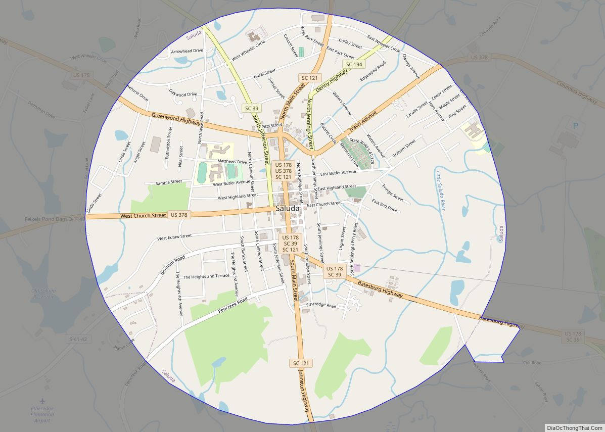
Saluda is a town in Saluda County, South Carolina, United States, along the Little Saluda River. The population was 3,565 at the 2010 census. It is the county seat of Saluda County. Saluda town overview: Name: Saluda town LSAD Code: 43 LSAD Description: town (suffix) State: South Carolina County: Saluda County Elevation: 479 ft (146 m) Total ... Read more
Salley is a town in Aiken County, South Carolina, United States. The population was 398 at the 2010 census. It is part of the Augusta, Georgia metropolitan area. Salley is known for hosting the Chitlin Strut, a town-wide festival, every November. Salley town overview: Name: Salley town LSAD Code: 43 LSAD Description: town (suffix) State: ... Read more
Salem is a U.S. town in Oconee County, South Carolina. The population was 135 at the 2010 United States Census. Salem town overview: Name: Salem town LSAD Code: 43 LSAD Description: town (suffix) State: South Carolina County: Oconee County Elevation: 1,063 ft (324 m) Total Area: 0.92 sq mi (2.37 km²) Land Area: 0.92 sq mi (2.37 km²) Water Area: 0.00 sq mi (0.00 km²) Total ... Read more
