Saluda is a town in Saluda County, South Carolina, United States, along the Little Saluda River. The population was 3,565 at the 2010 census. It is the county seat of Saluda County.
| Name: | Saluda town |
|---|---|
| LSAD Code: | 43 |
| LSAD Description: | town (suffix) |
| State: | South Carolina |
| County: | Saluda County |
| Elevation: | 479 ft (146 m) |
| Total Area: | 3.29 sq mi (8.52 km²) |
| Land Area: | 3.25 sq mi (8.41 km²) |
| Water Area: | 0.04 sq mi (0.11 km²) |
| Total Population: | 3,122 |
| Population Density: | 960.91/sq mi (371.05/km²) |
| ZIP code: | 29138 |
| Area code: | 864 |
| FIPS code: | 4563250 |
| GNISfeature ID: | 1250737 |
| Website: | www.townofsaluda.com |
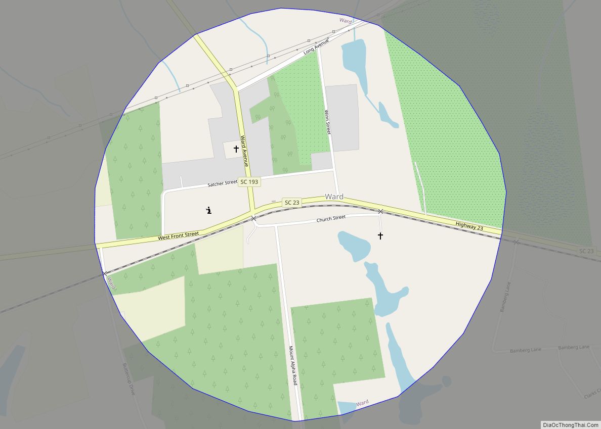
Online Interactive Map
Click on ![]() to view map in "full screen" mode.
to view map in "full screen" mode.
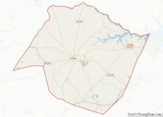
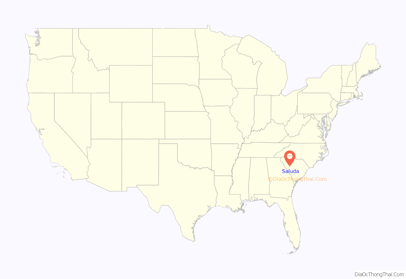
Saluda location map. Where is Saluda town?
History
Prior to the formation of Saluda County in 1896, the town was named Redbank and was renamed to match the county it became the seat of.
The Bonham House, Butler Family Cemetery, Marsh-Johnson House, Old Strother Place, Saluda Old Town Site, Saluda Theatre, Stevens-Dorn Farmstead, and Whitehall are listed on the National Register of Historic Places.
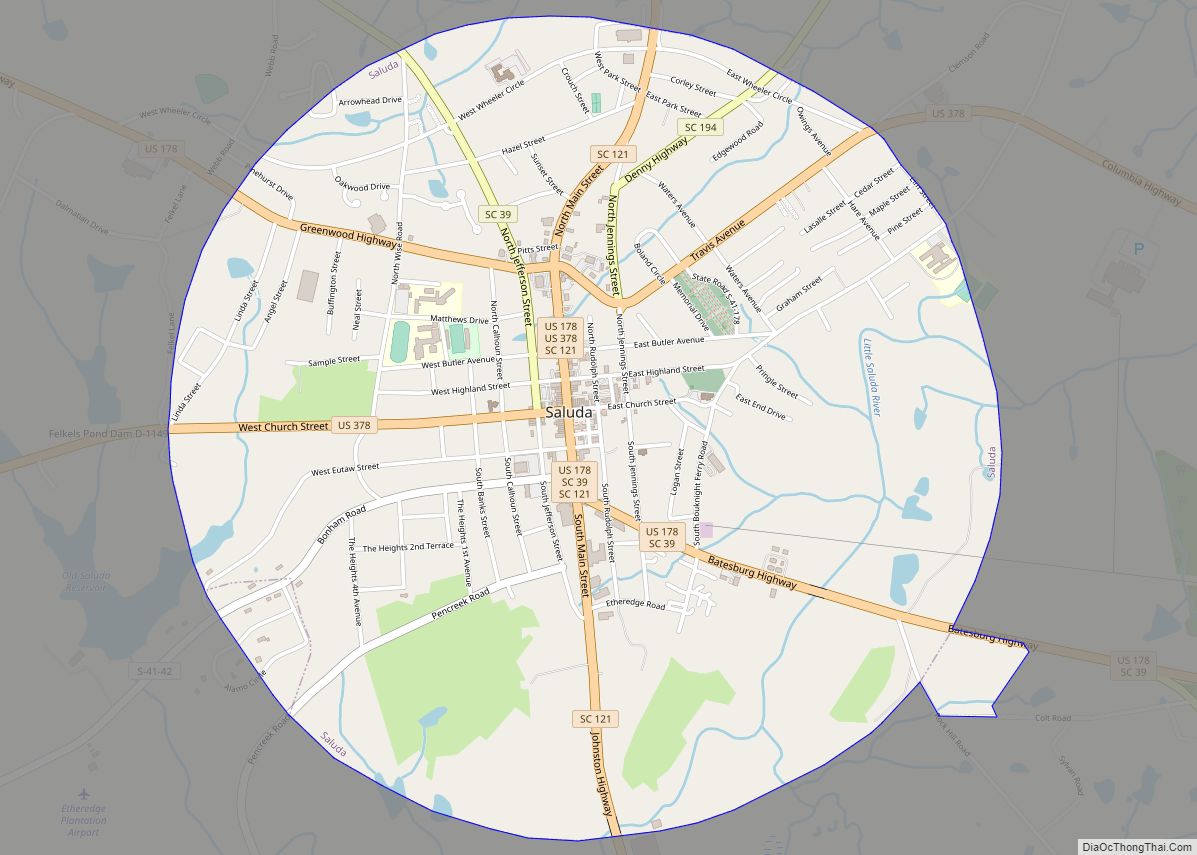
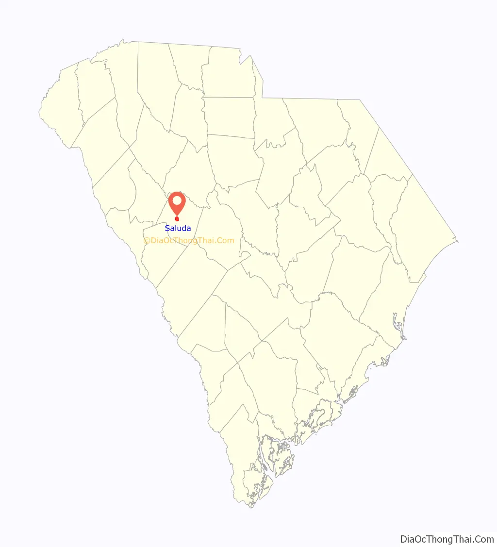
Saluda Road Map
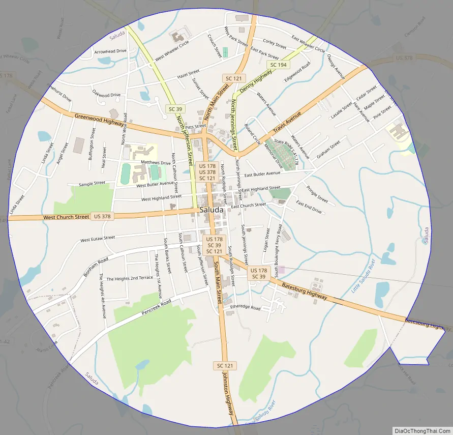
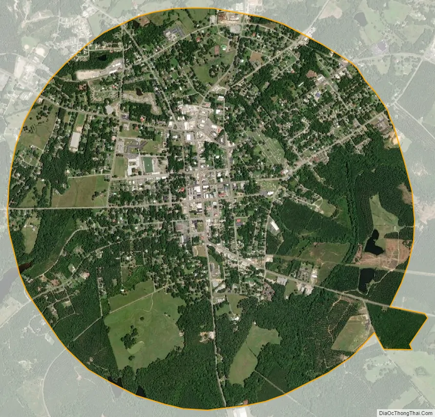
Saluda city Satellite Map
Geography
Saluda is located at 34°0′11″N 81°46′18″W / 34.00306°N 81.77167°W / 34.00306; -81.77167 (34.003131, -81.771691).
According to the United States Census Bureau, the town has a total area of 3.3 square miles (8.5 km), of which 3.2 square miles (8.3 km) is land and 0.04 square miles (0.10 km) (1.22%) is water.
The town is shaped like a circle.
See also
Map of South Carolina State and its subdivision:- Abbeville
- Aiken
- Allendale
- Anderson
- Bamberg
- Barnwell
- Beaufort
- Berkeley
- Calhoun
- Charleston
- Cherokee
- Chester
- Chesterfield
- Clarendon
- Colleton
- Darlington
- Dillon
- Dorchester
- Edgefield
- Fairfield
- Florence
- Georgetown
- Greenville
- Greenwood
- Hampton
- Horry
- Jasper
- Kershaw
- Lancaster
- Laurens
- Lee
- Lexington
- Marion
- Marlboro
- McCormick
- Newberry
- Oconee
- Orangeburg
- Pickens
- Richland
- Saluda
- Spartanburg
- Sumter
- Union
- Williamsburg
- York
- Alabama
- Alaska
- Arizona
- Arkansas
- California
- Colorado
- Connecticut
- Delaware
- District of Columbia
- Florida
- Georgia
- Hawaii
- Idaho
- Illinois
- Indiana
- Iowa
- Kansas
- Kentucky
- Louisiana
- Maine
- Maryland
- Massachusetts
- Michigan
- Minnesota
- Mississippi
- Missouri
- Montana
- Nebraska
- Nevada
- New Hampshire
- New Jersey
- New Mexico
- New York
- North Carolina
- North Dakota
- Ohio
- Oklahoma
- Oregon
- Pennsylvania
- Rhode Island
- South Carolina
- South Dakota
- Tennessee
- Texas
- Utah
- Vermont
- Virginia
- Washington
- West Virginia
- Wisconsin
- Wyoming