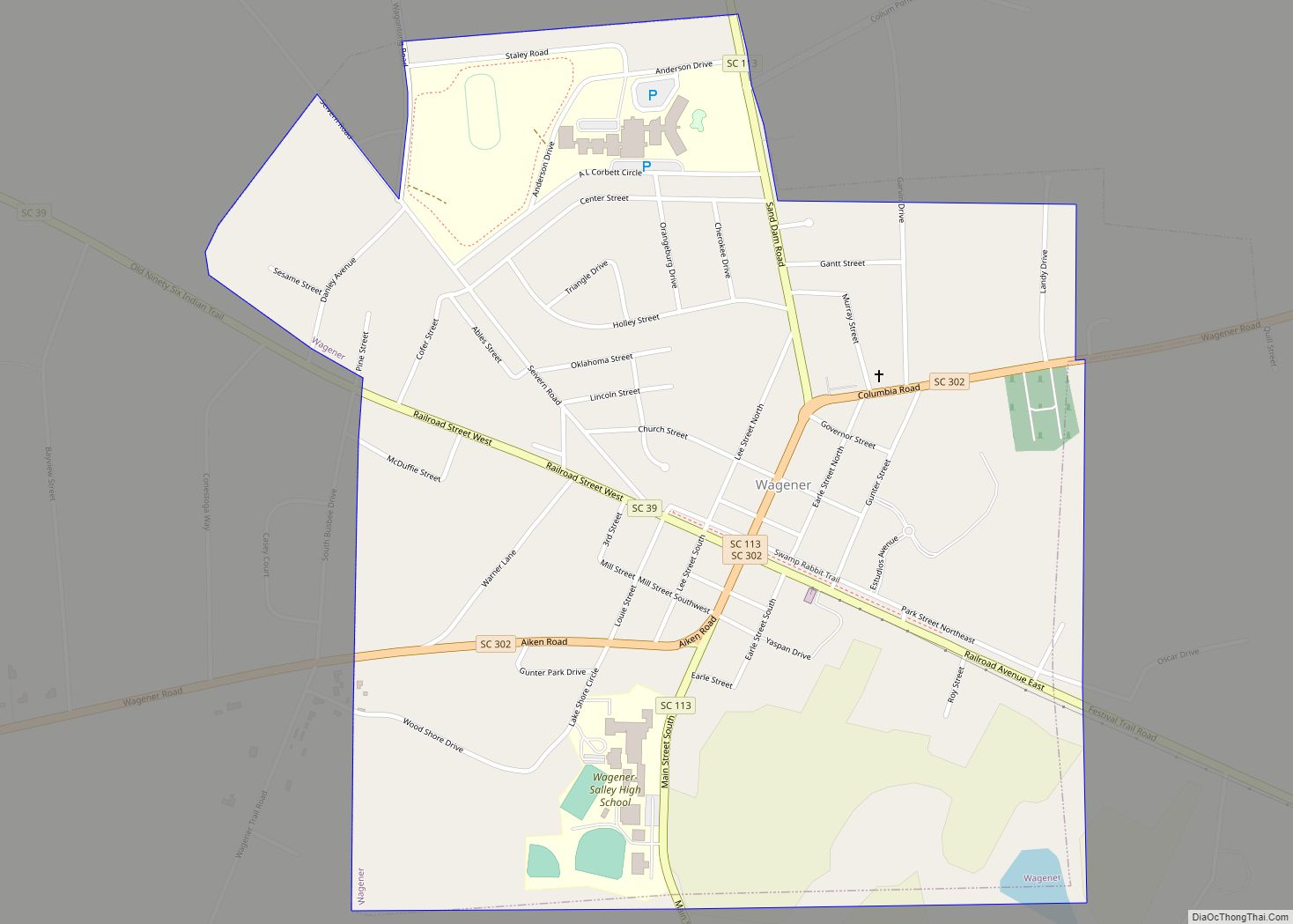
Wagener is a town in Aiken County, South Carolina, United States. The population was 797 at the 2010 census, making it the largest settlement in the county north of the South Fork Edisto River. It is part of the Augusta, Georgia metropolitan area. Wagener town overview: Name: Wagener town LSAD Code: 43 LSAD Description: town ... Read more
South Carolina Cities and Places
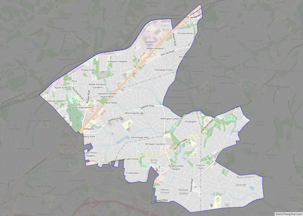
Wade Hampton is a census-designated place (CDP) in Greenville County, South Carolina, United States. The population was 20,622 at the 2010 census. It is named for American Civil War general and South Carolina governor Wade Hampton. Wade Hampton is part of the Greenville–Mauldin–Easley Metropolitan Statistical Area. Wade Hampton CDP overview: Name: Wade Hampton CDP LSAD ... Read more
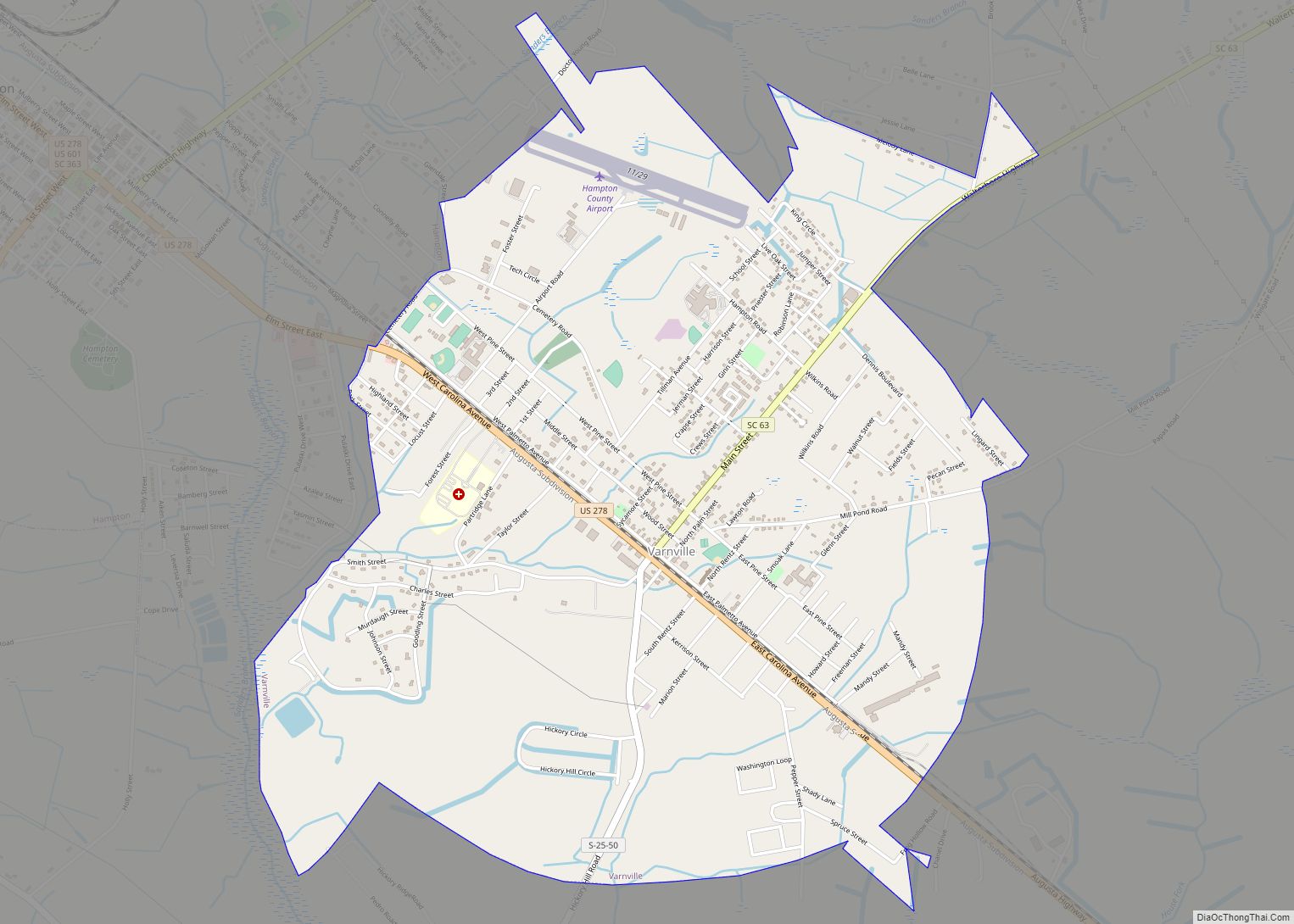
Varnville is a town in Hampton County, South Carolina, United States. The population was 2,162 as of the 2010 census. Varnville forms a twin town with Hampton, the county seat; the two towns often share civic and cultural events. Varnville town overview: Name: Varnville town LSAD Code: 43 LSAD Description: town (suffix) State: South Carolina ... Read more
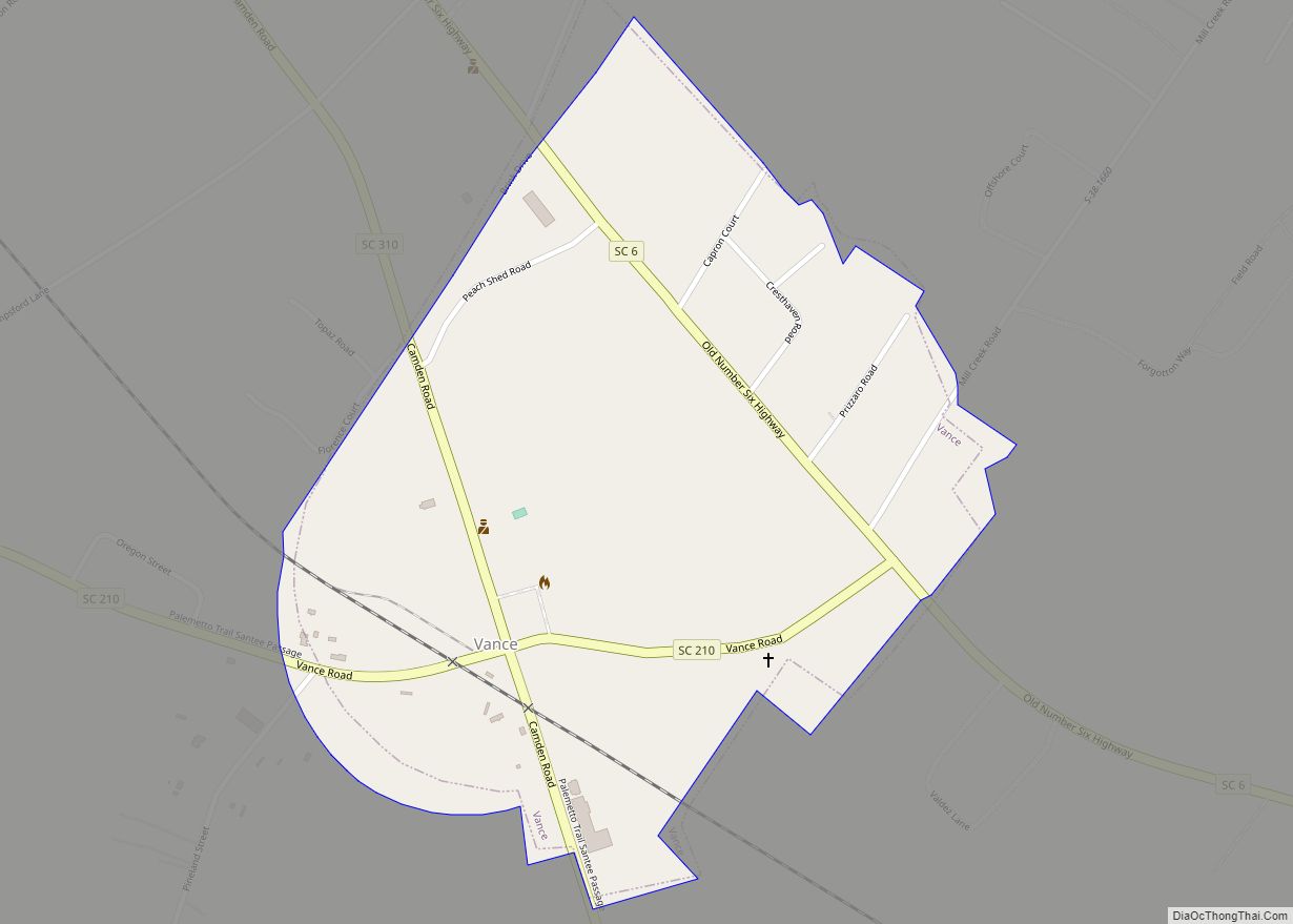
Vance is a town in Orangeburg County, South Carolina, United States. The population was 170 at the 2010 census. Vance town overview: Name: Vance town LSAD Code: 43 LSAD Description: town (suffix) State: South Carolina County: Orangeburg County Elevation: 131 ft (40 m) Total Area: 0.51 sq mi (1.31 km²) Land Area: 0.51 sq mi (1.31 km²) Water Area: 0.00 sq mi (0.00 km²) Total Population: ... Read more
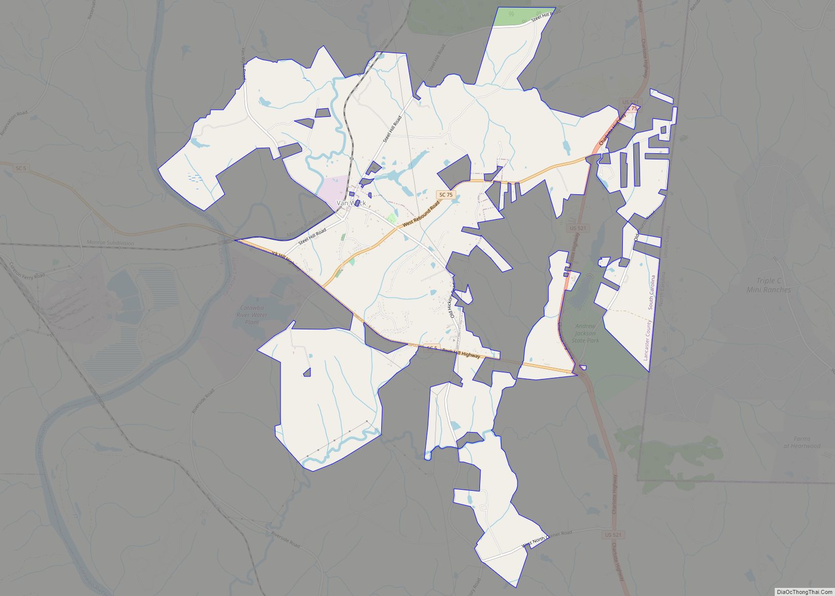
Van Wyck is a town in the panhandle of Lancaster County, South Carolina, United States. It is part of the Charlotte Metropolitan Area. Van Wyck is 29 miles (47 km) south of Charlotte. Established in the 1880s, it was to be originally named “Cocheecho”, after a young Indian chief, by the Seaboard Air Line Railroad. The ... Read more
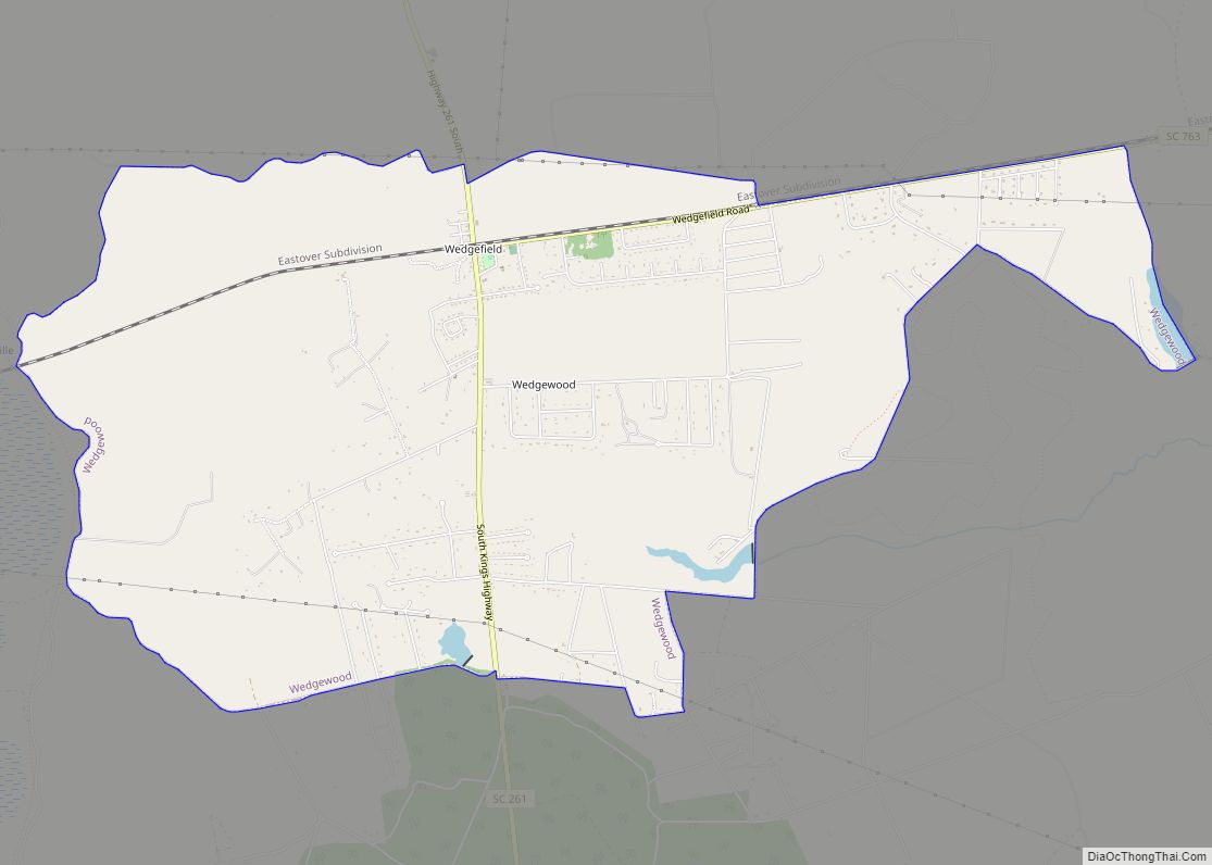
Wedgefield CDP overview: Name: Wedgefield CDP LSAD Code: 57 LSAD Description: CDP (suffix) State: South Carolina County: Sumter County FIPS code: 4575445 Online Interactive Map Wedgefield online map. Source: Basemap layers from Google Map, Open Street Map (OSM), Arcgisonline, Wmflabs. Boundary Data from Database of Global Administrative Areas. Wedgefield location map. Where is Wedgefield CDP? ... Read more
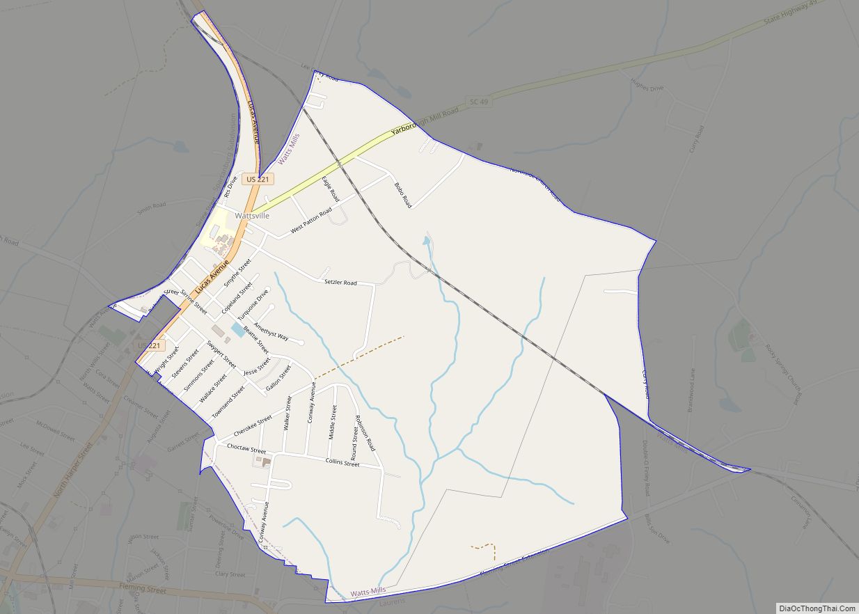
Wattsville is an unincorporated community in Laurens County, South Carolina, United States. The town name is derived from Watts Mill, a textile mill in the center of town. The area is listed as the Wattsville census-designated place (CDP) for statistical purposes. The population of the CDP was 1,635 at the 2010 census. It is part ... Read more
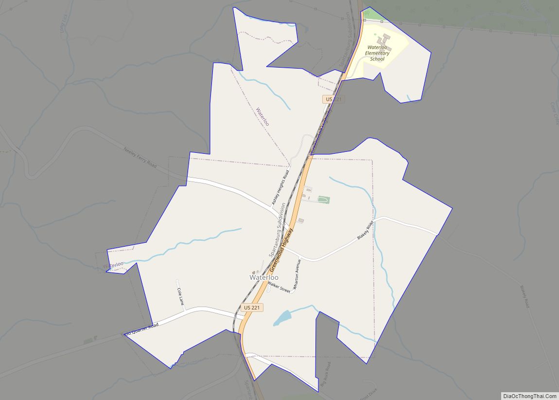
Waterloo is a town in Laurens County, South Carolina, United States. The population was 166 at the 2010 census. Waterloo town overview: Name: Waterloo town LSAD Code: 43 LSAD Description: town (suffix) State: South Carolina County: Laurens County Elevation: 614 ft (187 m) Total Area: 1.78 sq mi (4.62 km²) Land Area: 1.78 sq mi (4.62 km²) Water Area: 0.00 sq mi (0.00 km²) Total Population: ... Read more
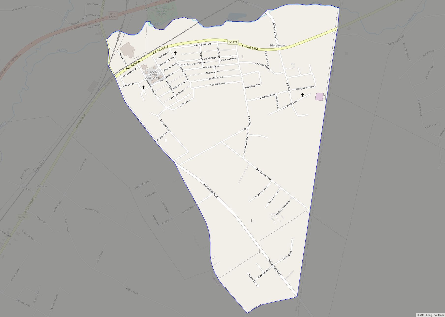
Warrenville is a census-designated place (CDP) in Aiken County, South Carolina, United States. The population was 1,233 at the 2010 census. It is located just south of Graniteville and is part of the Augusta, Georgia metropolitan area. Warrenville is located in historic Horse Creek Valley. Warrenville CDP overview: Name: Warrenville CDP LSAD Code: 57 LSAD ... Read more
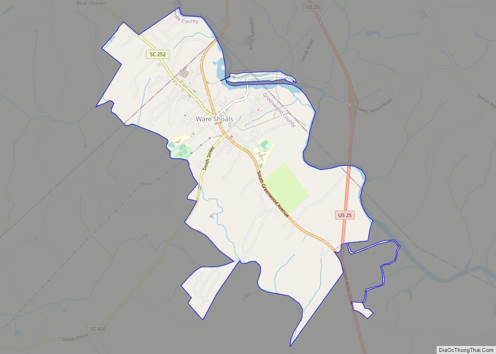
Ware Shoals is a town in Abbeville, Greenwood, and Laurens counties in the U.S. state of South Carolina, along the Saluda River . Ware Shoals has a 2020 population of 1,607. Ware Shoals is currently declining at a rate of -2.84% annually and its population has decreased by -5.53% since the most recent census, which ... Read more
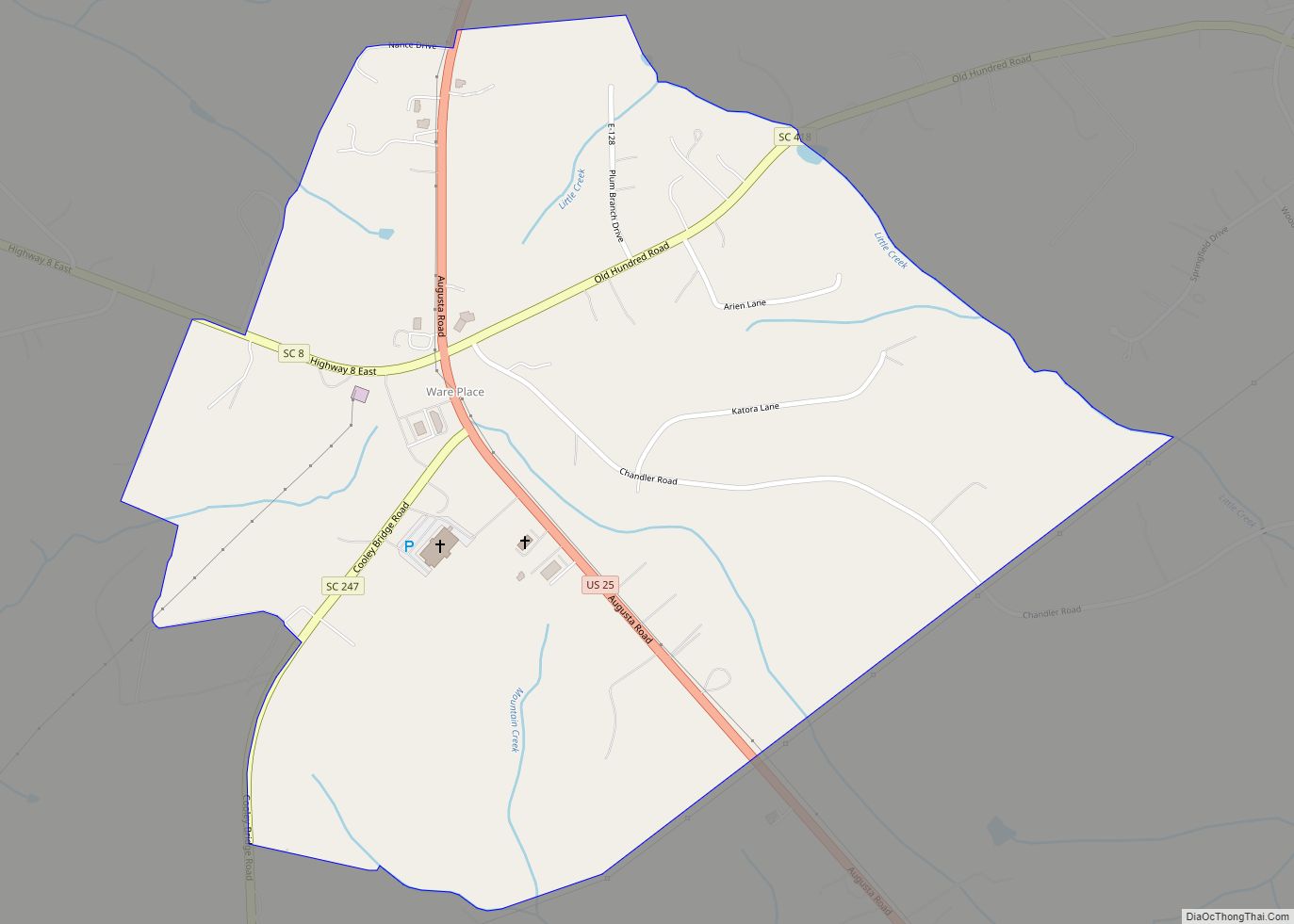
Ware Place is a Census-designated place located in Greenville County in the U.S. State of South Carolina. According to the 2010 United States Census, the population was 228. Ware Place CDP overview: Name: Ware Place CDP LSAD Code: 57 LSAD Description: CDP (suffix) State: South Carolina County: Greenville County Elevation: 876 ft (267 m) Total Area: 0.92 sq mi ... Read more
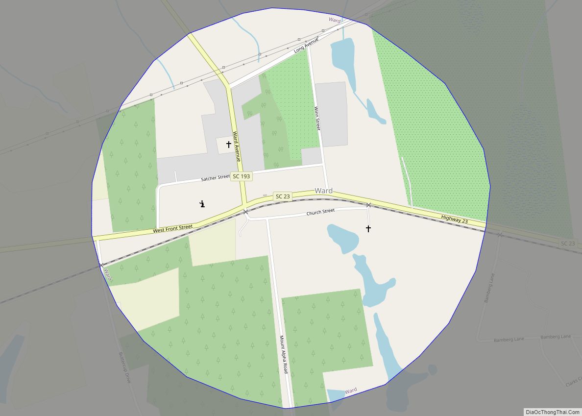
Ward is a town in Saluda County, South Carolina, United States. The population was 91 at the 2010 census. Ward town overview: Name: Ward town LSAD Code: 43 LSAD Description: town (suffix) State: South Carolina County: Saluda County Elevation: 666 ft (203 m) Total Area: 0.78 sq mi (2.01 km²) Land Area: 0.78 sq mi (2.01 km²) Water Area: 0.00 sq mi (0.00 km²) Total Population: ... Read more
