The city of Union is the county seat of Union County, South Carolina, United States. The population was 8,393 at the 2010 census. It is the principal city of the Union Micropolitan Statistical Area (population 28,961 according to 2010 Census), which includes all of Union County and which is further included in the greater Greenville–Spartanburg–Anderson, South Carolina Combined Statistical Area (population 1,266,995 according to the 2010 Census).
| Name: | Union city |
|---|---|
| LSAD Code: | 25 |
| LSAD Description: | city (suffix) |
| State: | South Carolina |
| County: | Union County |
| Elevation: | 643 ft (196 m) |
| Total Area: | 7.98 sq mi (20.67 km²) |
| Land Area: | 7.98 sq mi (20.67 km²) |
| Water Area: | 0.00 sq mi (0.00 km²) |
| Total Population: | 8,174 |
| Population Density: | 1,024.44/sq mi (395.54/km²) |
| ZIP code: | 29379 |
| Area code: | 864 |
| FIPS code: | 4573105 |
| GNISfeature ID: | 1251248 |
| Website: | www.cityofunion.net |
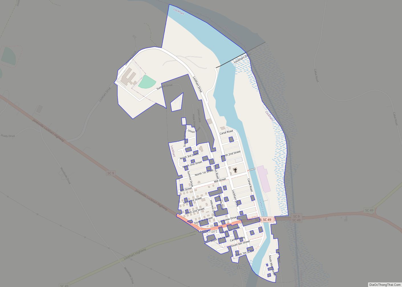
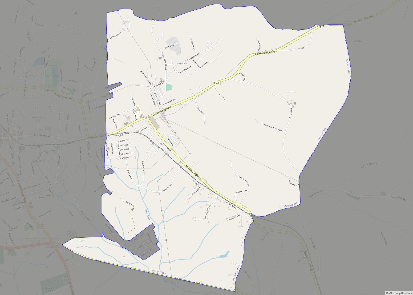
Online Interactive Map
Click on ![]() to view map in "full screen" mode.
to view map in "full screen" mode.
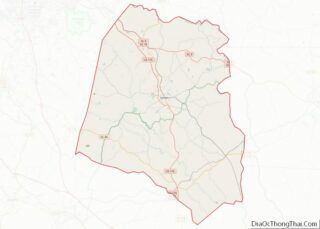
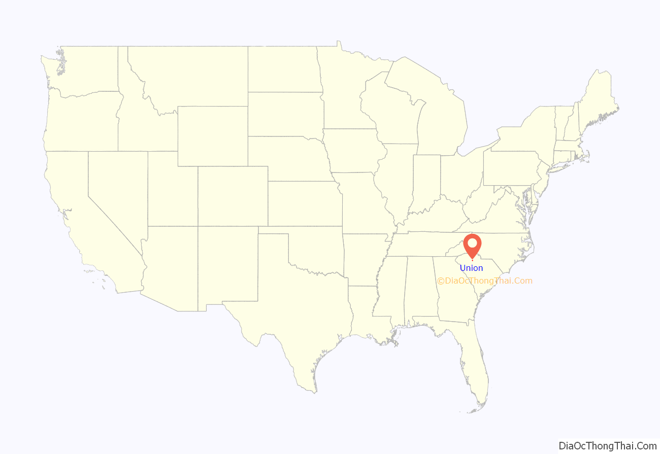
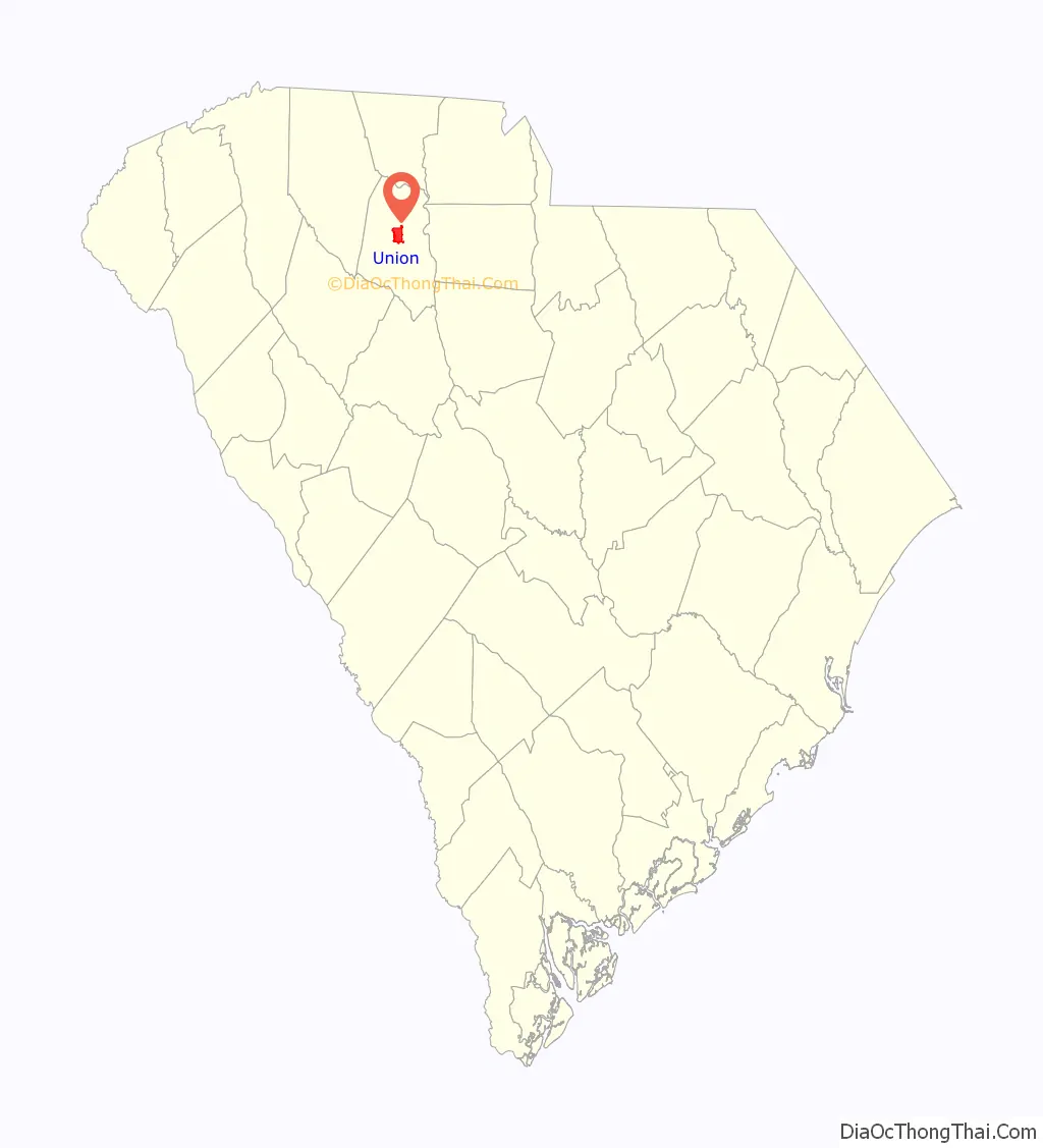
Union location map. Where is Union city?
History
Both the city of Union and Union County received their names from the old Union Church that stood a short distance from the Monarch Mill. When it was first founded, the city of Union was known as Unionville; later the name was shortened to Union. The county’s first white settlers came from Virginia in 1749. Union County’s population grew the fastest between 1762 and the start of the Revolutionary War. Settlers built log cabins and cultivated tobacco, flax, corn and wheat. Union was one of the first towns settled in the area and was untouched during the Civil War because the Broad River flooded and turned Sherman’s troops away from the town.
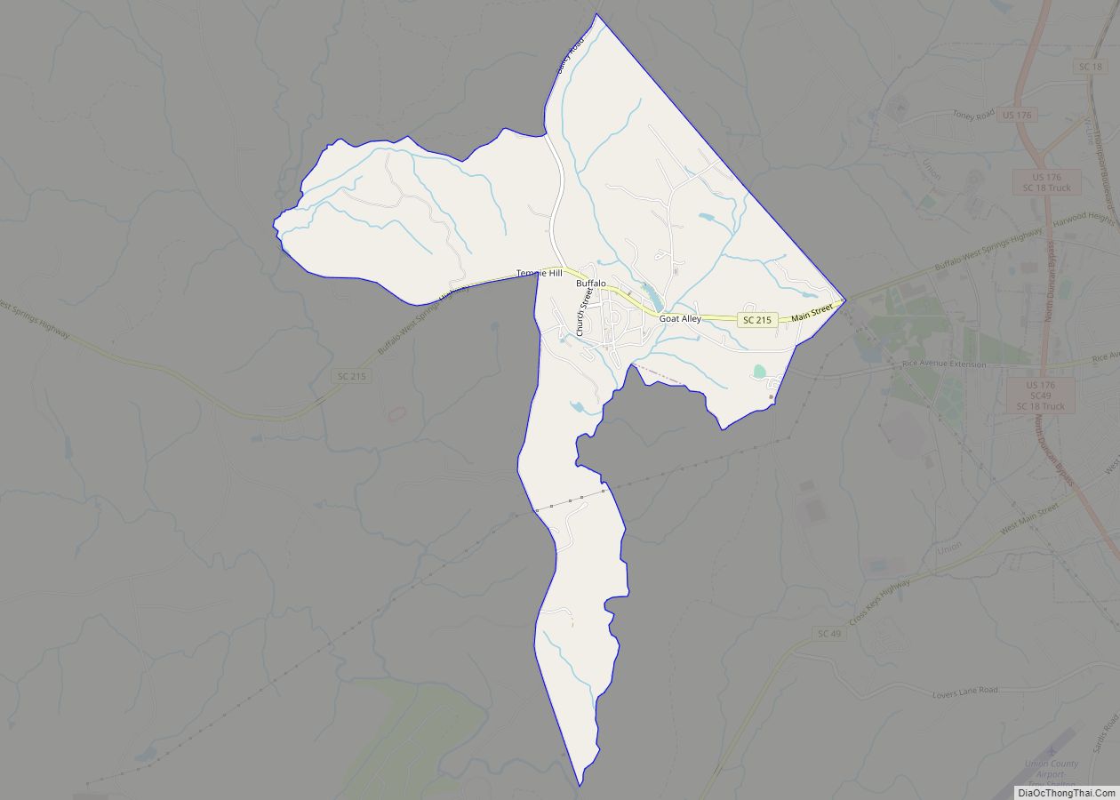
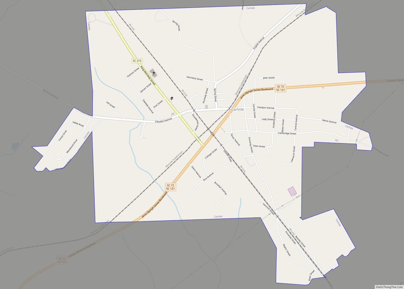
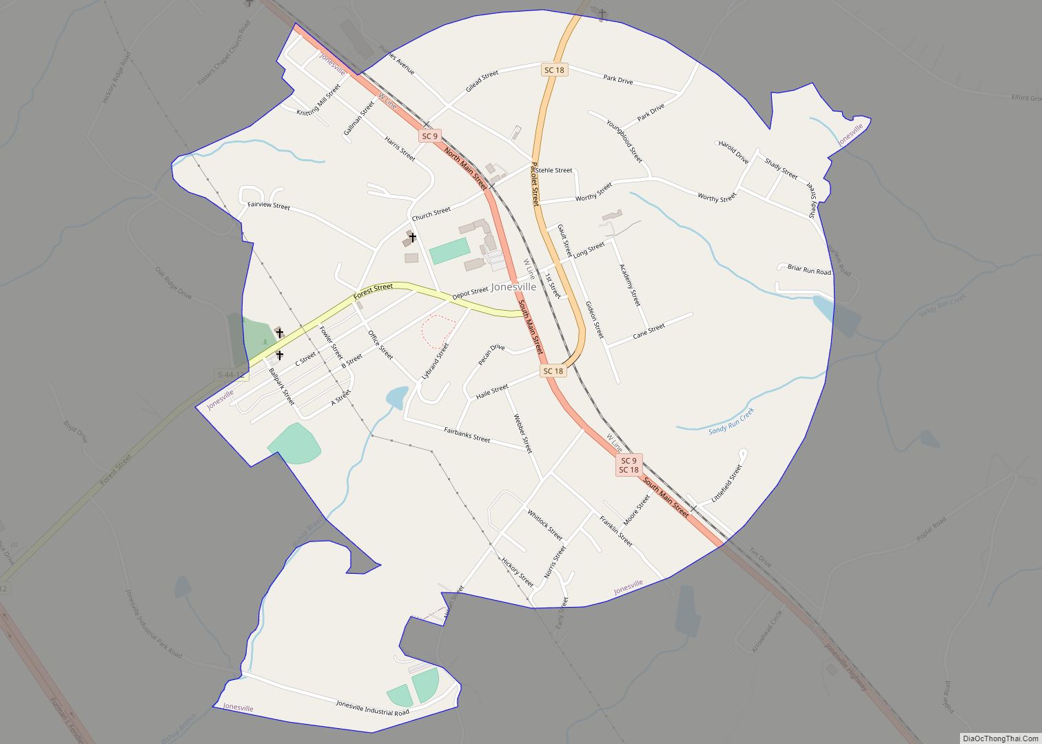
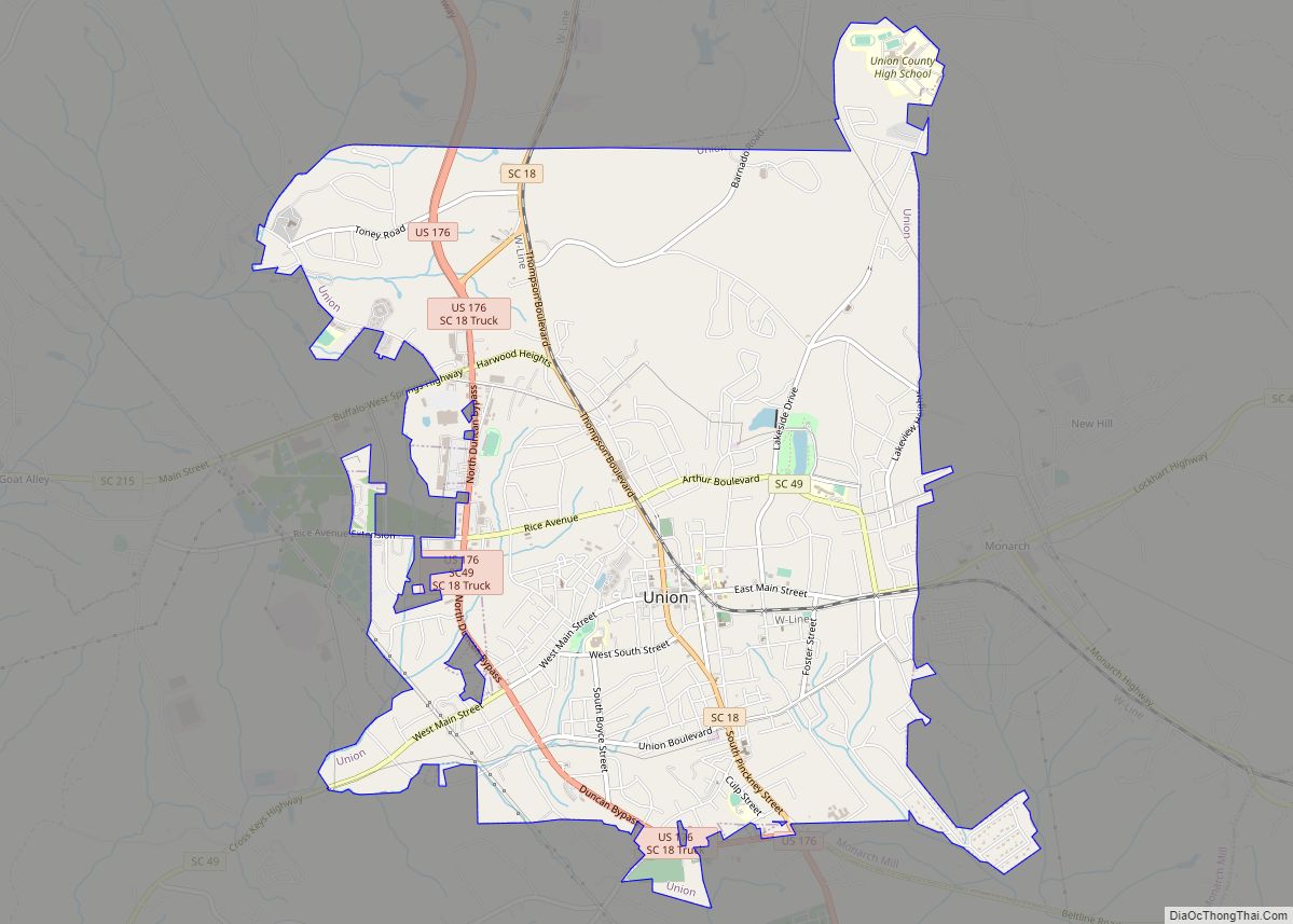
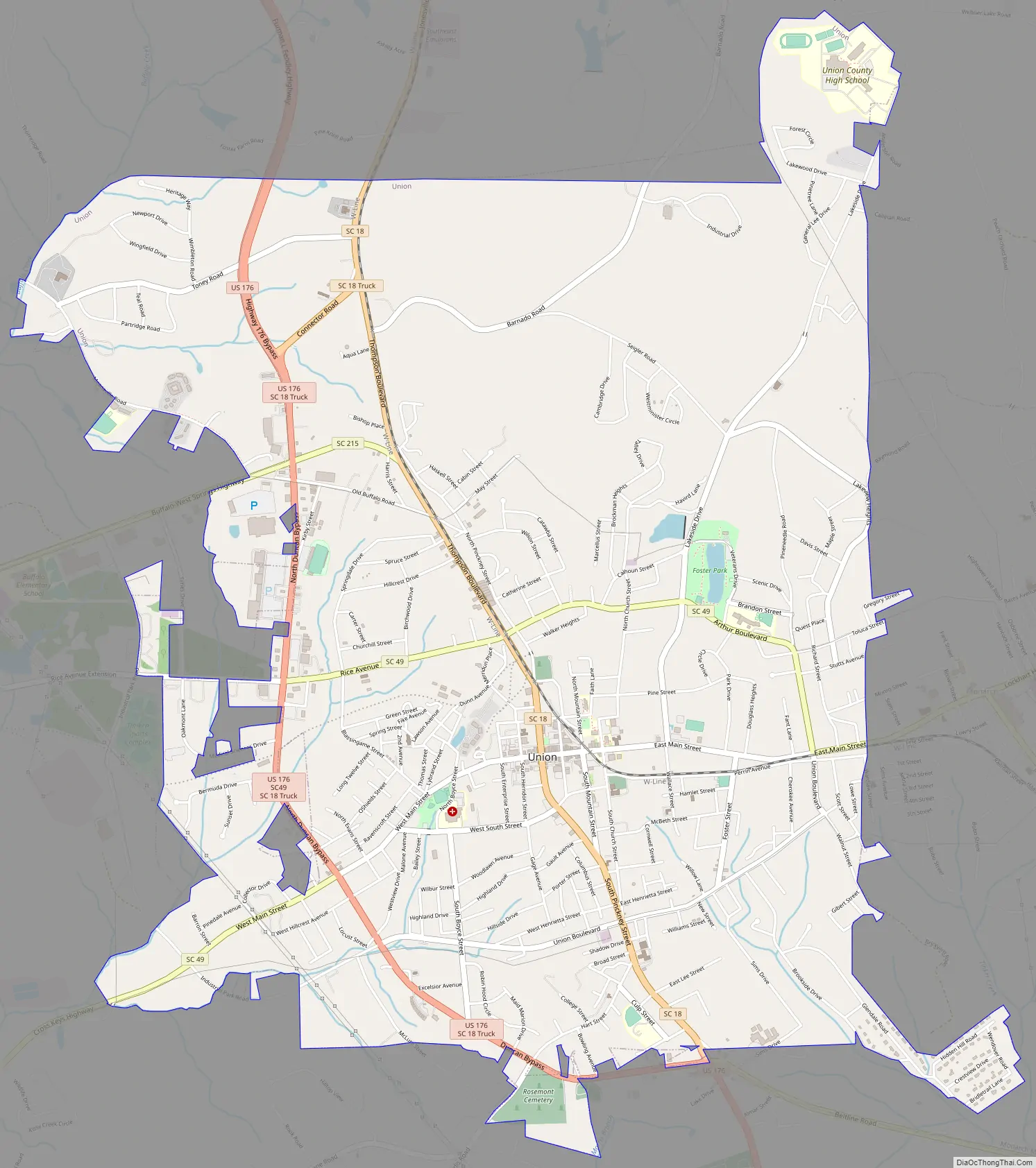
Union Road Map
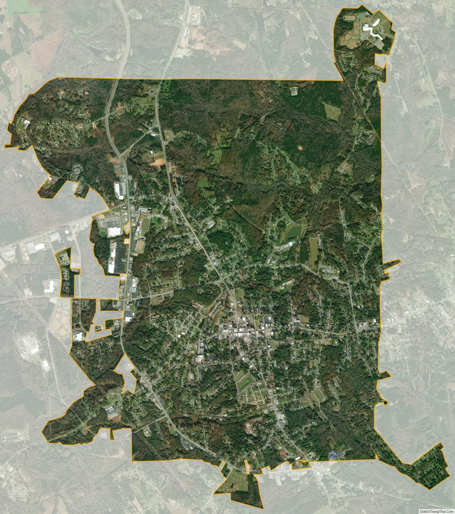
Union city Satellite Map
Geography
According to the United States Census Bureau, the city has a total area of 8.0 square miles (21 km), all of it land.
See also
Map of South Carolina State and its subdivision:- Abbeville
- Aiken
- Allendale
- Anderson
- Bamberg
- Barnwell
- Beaufort
- Berkeley
- Calhoun
- Charleston
- Cherokee
- Chester
- Chesterfield
- Clarendon
- Colleton
- Darlington
- Dillon
- Dorchester
- Edgefield
- Fairfield
- Florence
- Georgetown
- Greenville
- Greenwood
- Hampton
- Horry
- Jasper
- Kershaw
- Lancaster
- Laurens
- Lee
- Lexington
- Marion
- Marlboro
- McCormick
- Newberry
- Oconee
- Orangeburg
- Pickens
- Richland
- Saluda
- Spartanburg
- Sumter
- Union
- Williamsburg
- York
- Alabama
- Alaska
- Arizona
- Arkansas
- California
- Colorado
- Connecticut
- Delaware
- District of Columbia
- Florida
- Georgia
- Hawaii
- Idaho
- Illinois
- Indiana
- Iowa
- Kansas
- Kentucky
- Louisiana
- Maine
- Maryland
- Massachusetts
- Michigan
- Minnesota
- Mississippi
- Missouri
- Montana
- Nebraska
- Nevada
- New Hampshire
- New Jersey
- New Mexico
- New York
- North Carolina
- North Dakota
- Ohio
- Oklahoma
- Oregon
- Pennsylvania
- Rhode Island
- South Carolina
- South Dakota
- Tennessee
- Texas
- Utah
- Vermont
- Virginia
- Washington
- West Virginia
- Wisconsin
- Wyoming