Turbeville is a town in Clarendon County, South Carolina, United States. The population was 766 at the 2010 census, up from 602 in 2000.
| Name: | Turbeville town |
|---|---|
| LSAD Code: | 43 |
| LSAD Description: | town (suffix) |
| State: | South Carolina |
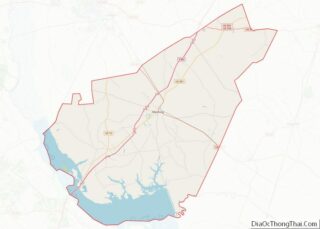
| County: | Clarendon County |
| Elevation: | 125 ft (38 m) |
| Total Area: | 1.34 sq mi (3.47 km²) |
| Land Area: | 1.34 sq mi (3.47 km²) |
| Water Area: | 0.00 sq mi (0.00 km²) |
| Total Population: | 760 |
| Population Density: | 567.16/sq mi (219.05/km²) |
| ZIP code: | 29162 |
| Area code: | 843, 854 |
| FIPS code: | 4572745 |
| GNISfeature ID: | 1251230 |
| Website: | www.townofturbeville.com |
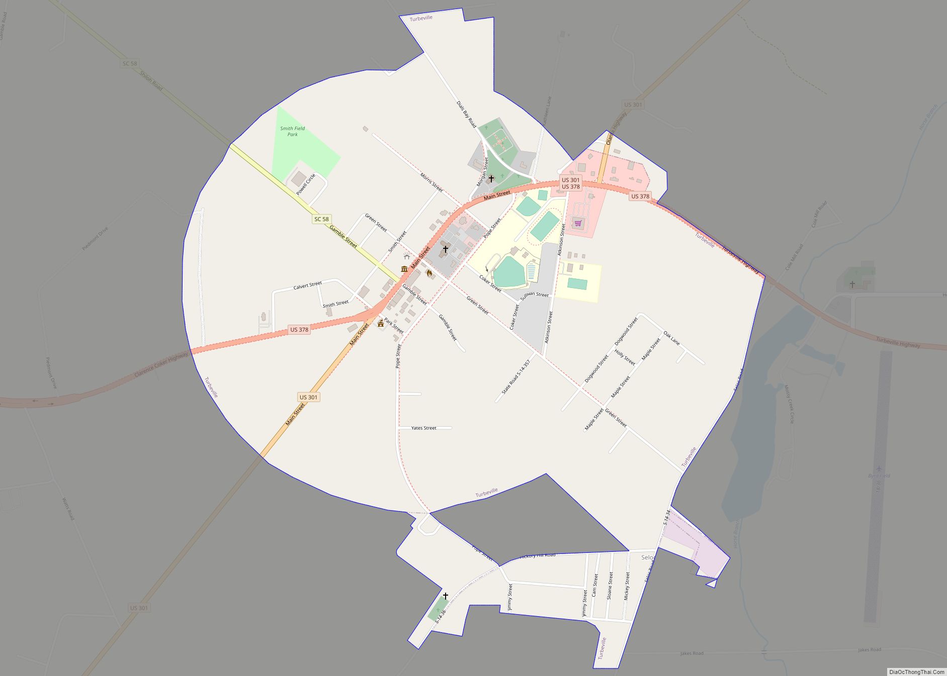
Online Interactive Map
Click on ![]() to view map in "full screen" mode.
to view map in "full screen" mode.
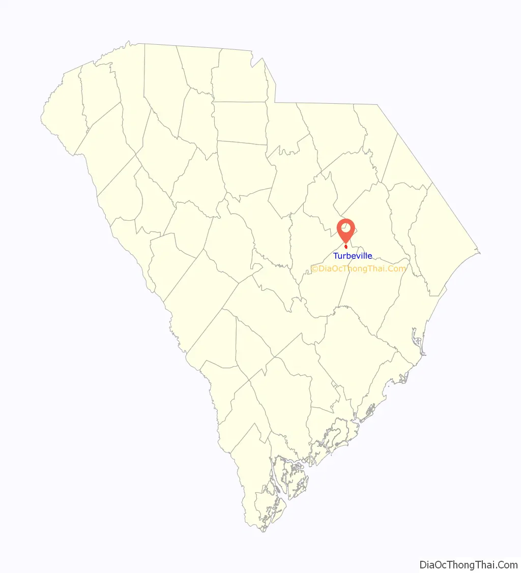
Turbeville location map. Where is Turbeville town?

History
In 1840, Michael Turbeville bought 125 acres (51 ha) of land one mile north of the present town limits in Diles Bay and built a home on this property. Sometime between 1870 and 1875, William J. Turbeville, son of Michael, purchased approximately 200 acres (81 ha) from John McFaddin and built the first house in what is now the town of Turbeville. His brother, Clem, likewise bought land and built next to William. Since their land was substantially covered with large pine trees, the brothers built a turpentine still which they ran for about 20 years. They also built a large store where they carried on an extensive mercantile business for an even longer time. During those early years the community was known as “Puddin’ Swamp”.
In 2016, the town gained notoriety for a civil suit brought against it. The suit alleges that the town’s “town safety” ordinances, which allows Turbeville to write traffic tickets with higher fines than state traffic tickets and keep the money from the citations, are illegal and should be repealed. The town reportedly has nearly twice the ticket rate of much larger nearby towns, writing nearly 2,500 per year, most of which come during prime beach season, as the town is on the major routes between Columbia and Myrtle Beach.
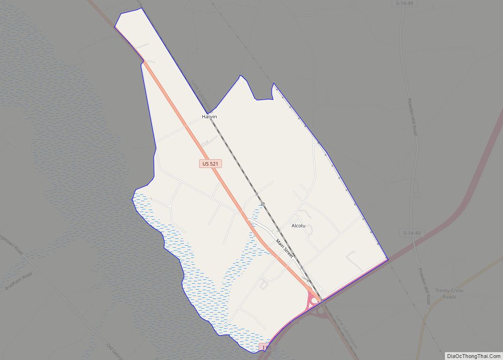
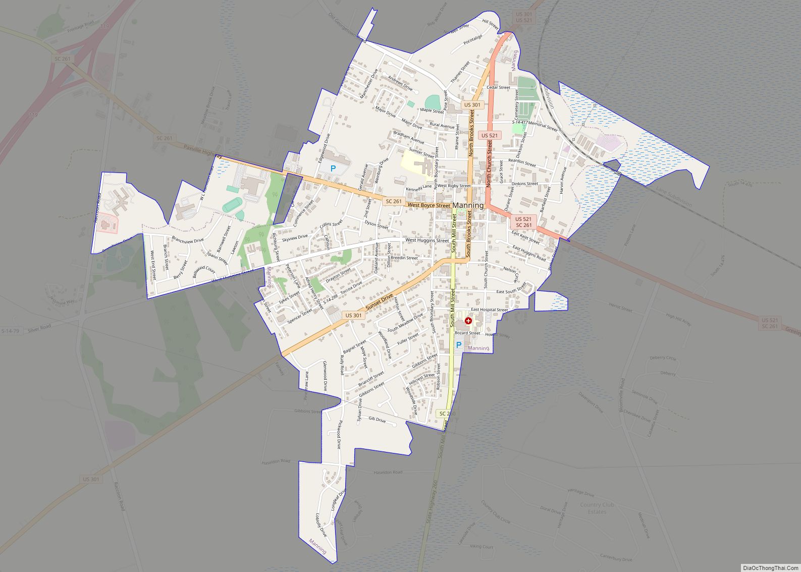
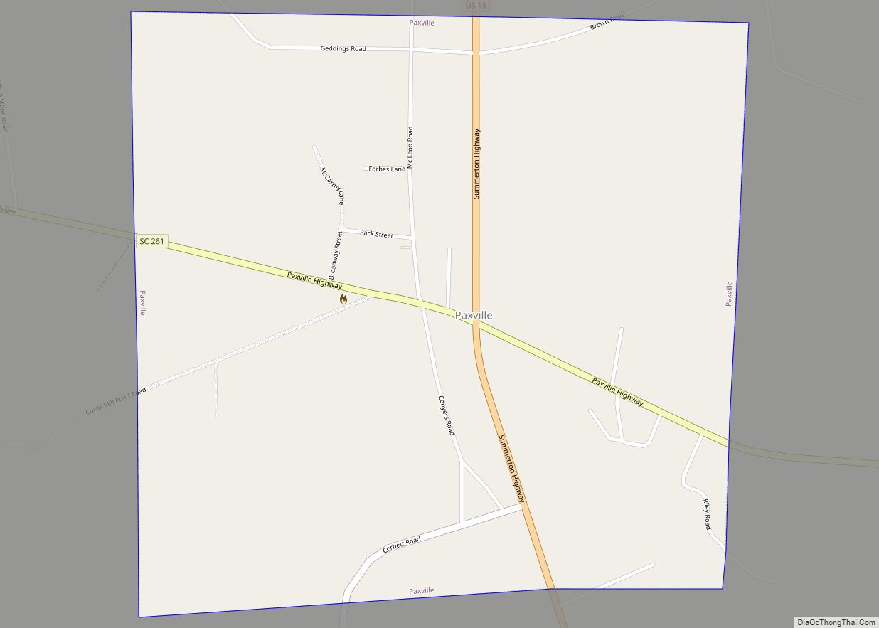
Turbeville Road Map
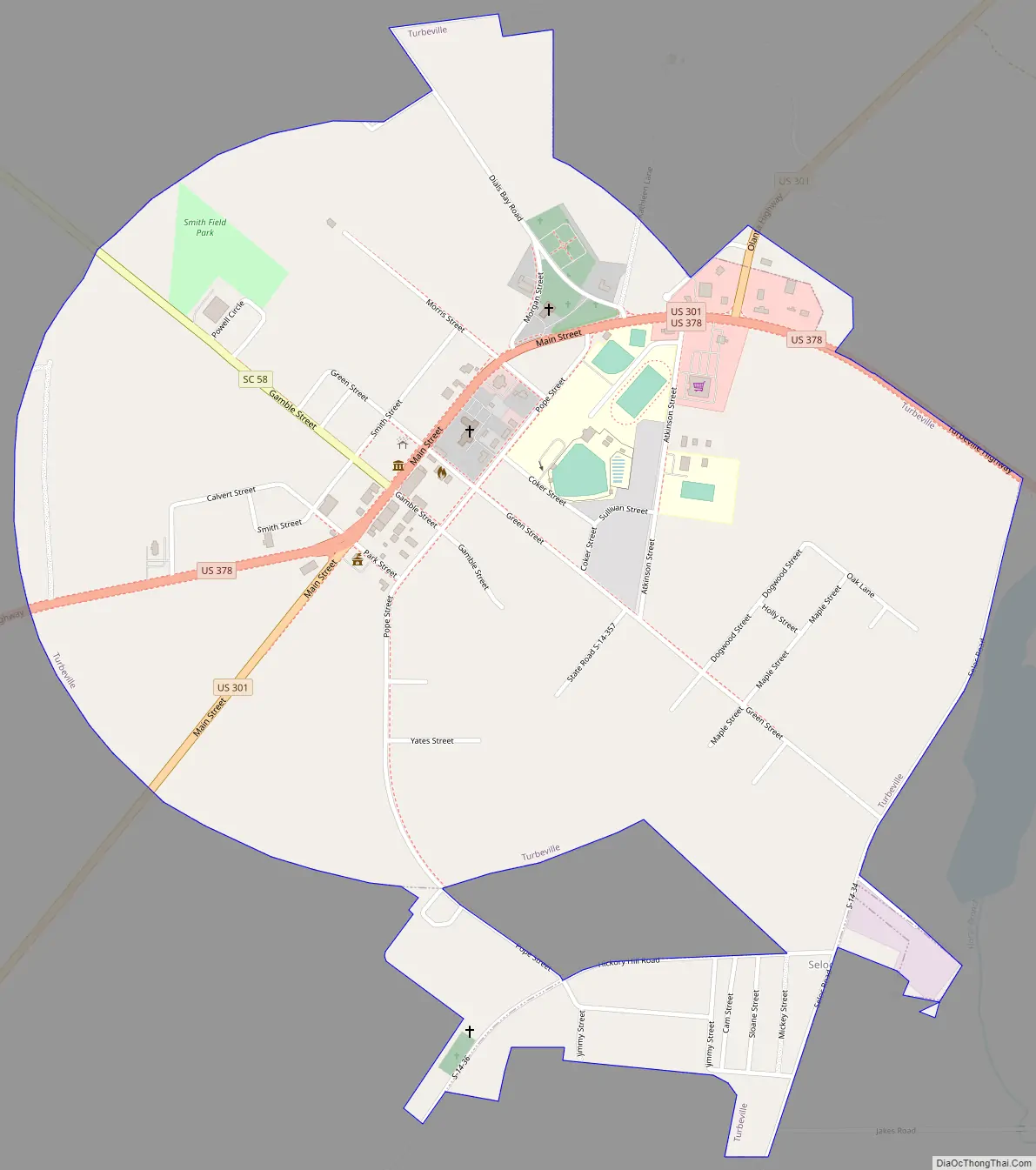
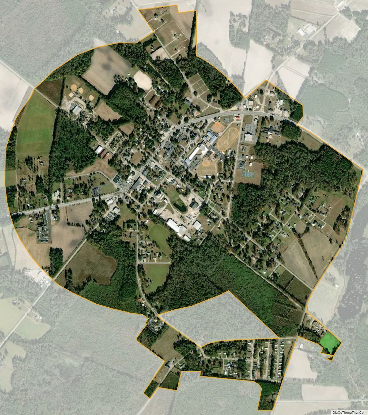
Turbeville city Satellite Map
Geography
Turbeville is located in northeastern Clarendon County at 33°53′22″N 80°0′48″W / 33.88944°N 80.01333°W / 33.88944; -80.01333 (33.889433, -80.013440). U.S. Route 301 passes through the town, leading northeast 6 miles (10 km) to Olanta and southwest 18 miles (29 km) to Manning, the county seat. U.S. Route 378 joins US 301 briefly in the center of town, leading west 4 miles (6 km) to Interstate 95 and 20 miles (32 km) to Sumter, and east 16 miles (26 km) to Lake City.
According to the United States Census Bureau, the town has a total area of 1.3 square miles (3.4 km), all land.
Turbeville is also the site of the Turbeville Correctional Institution, located between the city center and I-95 and operated by the South Carolina Department of Corrections. The facility’s website states the institution is intended for juveniles and younger adults from 18-25 (referred to as “Youthful Offenders”) and that inmates frequently assist in cleaning up highways and other roads near Turbeville.
No rail transport exists within Turbeville. The closest airport for general aviation is Sumter Airport, and the closest airport with commercial service is Florence Regional Airport, which is only served by American Eagle to Charlotte Douglas International Airport, and Columbia Metropolitan Airport, serving more destinations.
See also
Map of South Carolina State and its subdivision:- Abbeville
- Aiken
- Allendale
- Anderson
- Bamberg
- Barnwell
- Beaufort
- Berkeley
- Calhoun
- Charleston
- Cherokee
- Chester
- Chesterfield
- Clarendon
- Colleton
- Darlington
- Dillon
- Dorchester
- Edgefield
- Fairfield
- Florence
- Georgetown
- Greenville
- Greenwood
- Hampton
- Horry
- Jasper
- Kershaw
- Lancaster
- Laurens
- Lee
- Lexington
- Marion
- Marlboro
- McCormick
- Newberry
- Oconee
- Orangeburg
- Pickens
- Richland
- Saluda
- Spartanburg
- Sumter
- Union
- Williamsburg
- York
- Alabama
- Alaska
- Arizona
- Arkansas
- California
- Colorado
- Connecticut
- Delaware
- District of Columbia
- Florida
- Georgia
- Hawaii
- Idaho
- Illinois
- Indiana
- Iowa
- Kansas
- Kentucky
- Louisiana
- Maine
- Maryland
- Massachusetts
- Michigan
- Minnesota
- Mississippi
- Missouri
- Montana
- Nebraska
- Nevada
- New Hampshire
- New Jersey
- New Mexico
- New York
- North Carolina
- North Dakota
- Ohio
- Oklahoma
- Oregon
- Pennsylvania
- Rhode Island
- South Carolina
- South Dakota
- Tennessee
- Texas
- Utah
- Vermont
- Virginia
- Washington
- West Virginia
- Wisconsin
- Wyoming