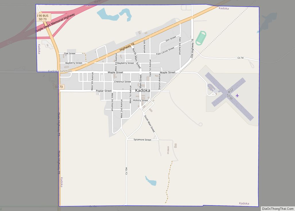
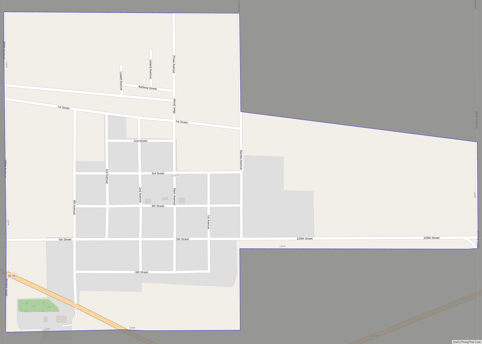
Map of Kyle CDP, South Dakota
Kyle (Lakota: phežúta ȟaká; “Branched Medicine”) is a census-designated place (CDP) in Oglala Lakota County, South Dakota, United States. Its population was 943 at the 2020 census. Located within the Pine Ridge Indian Reservation of the Oglala Lakota, it is one of two settlements which are closest to the North American continental pole of inaccessibility. ... Read more
Map of Kyle CDP, South Dakota
Map of Kranzburg town
Kranzburg is a town in Codington County, South Dakota, United States. The population was 163 at the 2020 census. It is part of the Watertown, South Dakota Micropolitan Statistical Area. Kranzburg town overview: Name: Kranzburg town LSAD Code: 43 LSAD Description: town (suffix) State: South Dakota County: Codington County Founded: May 16, 1879 Elevation: 1,982 ft ... Read more
Map of Kranzburg town
Map of Kimball city, South Dakota
Kimball is a city in Brule County, South Dakota, United States. The population was 572 at the 2020 census. Kimball city overview: Name: Kimball city LSAD Code: 25 LSAD Description: city (suffix) State: South Dakota County: Brule County Incorporated: 1889 Elevation: 1,788 ft (545 m) Total Area: 3.44 sq mi (8.90 km²) Land Area: 3.44 sq mi (8.90 km²) Water Area: 0.00 sq mi (0.00 km²) ... Read more
Map of Kimball city, South Dakota
Map of Langford town
Langford is a town in Marshall County, South Dakota, United States. The population was 283 at the 2020 census. Langford was laid out in 1886, and named in honor of Sam Langford, the original owner of the town site. Langford town overview: Name: Langford town LSAD Code: 43 LSAD Description: town (suffix) State: South Dakota ... Read more
Map of Langford town
Map of Lane town, South Dakota
Lane is a town in Jerauld County, South Dakota, United States. The population was 59 at the 2010 census. Lane was laid out in 1903, and named in honor of T. W. Lane, an early settler. Lane town overview: Name: Lane town LSAD Code: 43 LSAD Description: town (suffix) State: South Dakota County: Jerauld County ... Read more
Map of Lane town, South Dakota
Map of Lake Preston city
Lake Preston is a city in Kingsbury County, South Dakota, United States. The population was 599 at the 2010 census. Lake Preston city overview: Name: Lake Preston city LSAD Code: 25 LSAD Description: city (suffix) State: South Dakota County: Kingsbury County Incorporated: 1906 Elevation: 1,722 ft (525 m) Total Area: 0.76 sq mi (1.97 km²) Land Area: 0.76 sq mi (1.97 km²) Water ... Read more
Map of Lake Preston city
Map of Lake Poinsett CDP
Lake Poinsett is a census-designated place (CDP) in Hamlin and Brookings counties in South Dakota, United States. The population was 501 at the 2020 census. Lake Poinsett CDP overview: Name: Lake Poinsett CDP LSAD Code: 57 LSAD Description: CDP (suffix) State: South Dakota County: Brookings County, Hamlin County Elevation: 1,649 ft (503 m) Total Area: 17.77 sq mi (46.03 km²) ... Read more
Map of Lake Poinsett CDP
Map of Lake Norden city
Lake Norden is a city in Hamlin County, South Dakota, United States. It is part of the Watertown, South Dakota Micropolitan Statistical Area. The population was 554 at the 2020 census. Lake Norden was laid out in 1908, and named after a lake near the town site. In May 2023, a fire destroyed the city’s ... Read more
Map of Lake Norden city
Map of Lake Madison CDP
Lake Madison is an unincorporated community and census-designated place in Lake County, South Dakota, United States. Its population was 829 as of the 2020 census. The community is located on the shores of Lake Madison. Lake Madison CDP overview: Name: Lake Madison CDP LSAD Code: 57 LSAD Description: CDP (suffix) State: South Dakota County: Lake ... Read more
Map of Lake Madison CDP
Map of Lake City town, South Dakota
Lake City is a town in Marshall County, South Dakota, United States. The population was 45 at the 2020 census. Fort Sisseton Historic State Park, whose fort is listed on the National Register of Historic Places, is located nearby. Lake City was laid out in 1914, and so named for the many lakes in the ... Read more
Map of Lake City town, South Dakota
Map of Lake Andes city
Lake Andes is a city in, and the county seat of, Charles Mix County, South Dakota, United States. The population was 710 at the 2020 census. The town took its name from Lake Andes which some say derives its name from a pioneer hunter named Handy, while others believe was named after Edward Andes, a ... Read more
Map of Lake Andes city
Map of La Plant CDP
La Plant is a census-designated place (CDP) in Dewey County, South Dakota, United States. The population was 167 at the 2020 census. It is within the Cheyenne River Indian Reservation. La Plant was laid out in 1910, and named in honor of a local cattleman. La Plant CDP overview: Name: La Plant CDP LSAD Code: ... Read more
Map of La Plant CDP