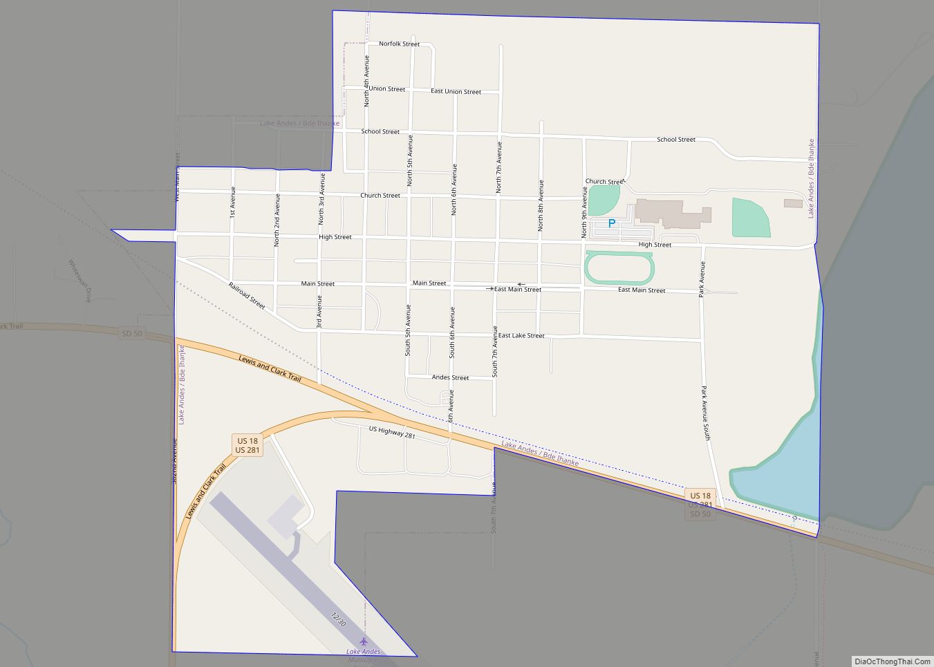
Lake Andes is a city in, and the county seat of, Charles Mix County, South Dakota, United States. The population was 710 at the 2020 census.
The town took its name from Lake Andes which some say derives its name from a pioneer hunter named Handy, while others believe was named after Edward Andes, a fur company official. The town and the lake are referred to as Bde Ihaƞke in Dakota language of the native Yankton Sioux Tribe.
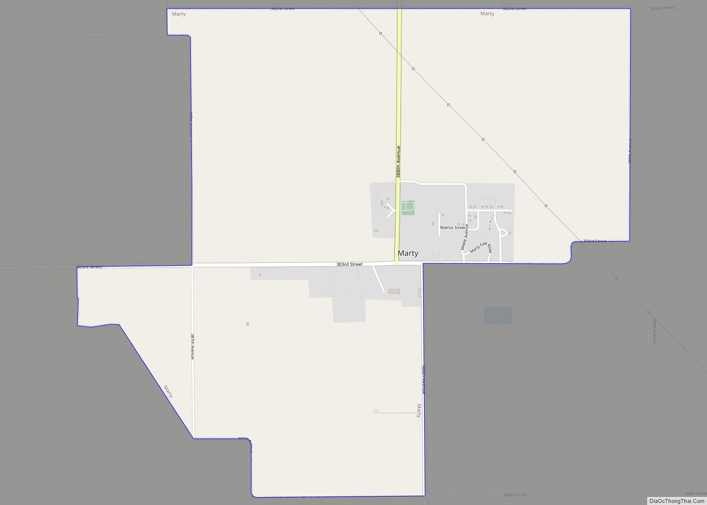
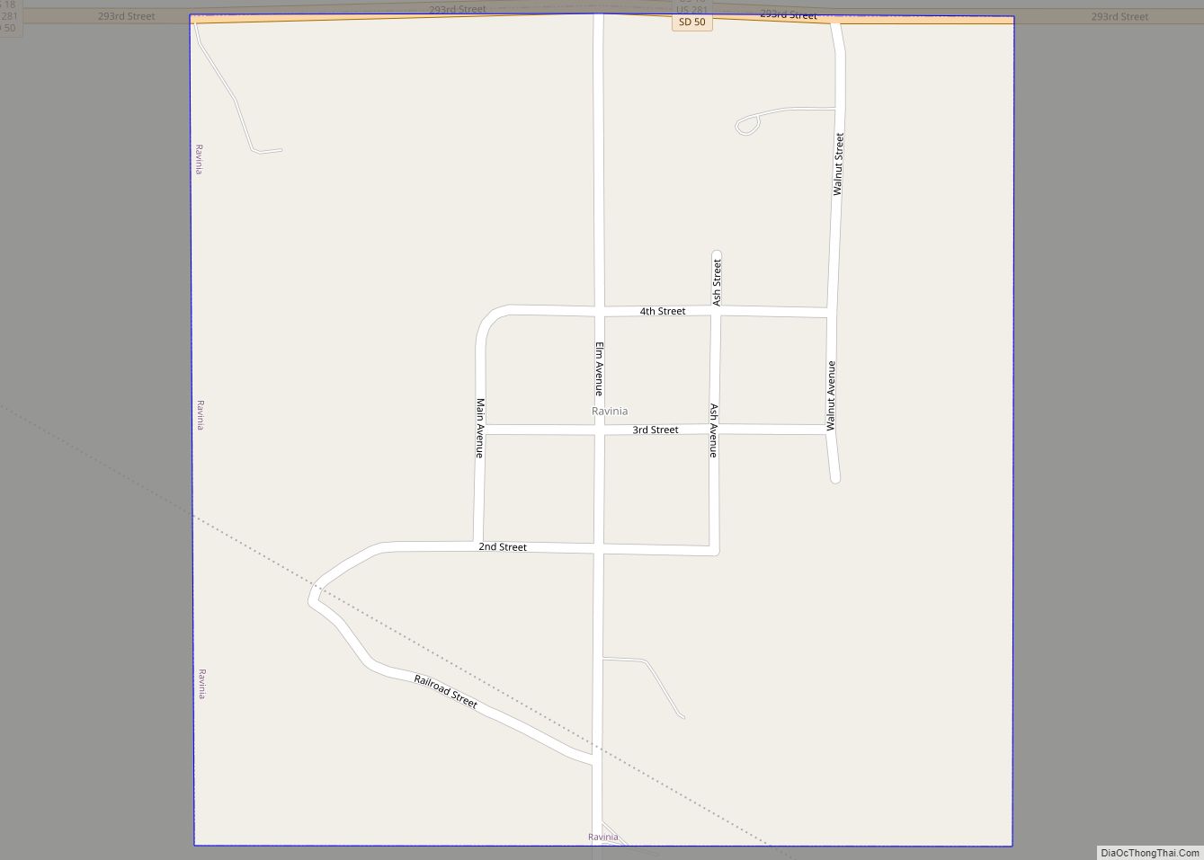
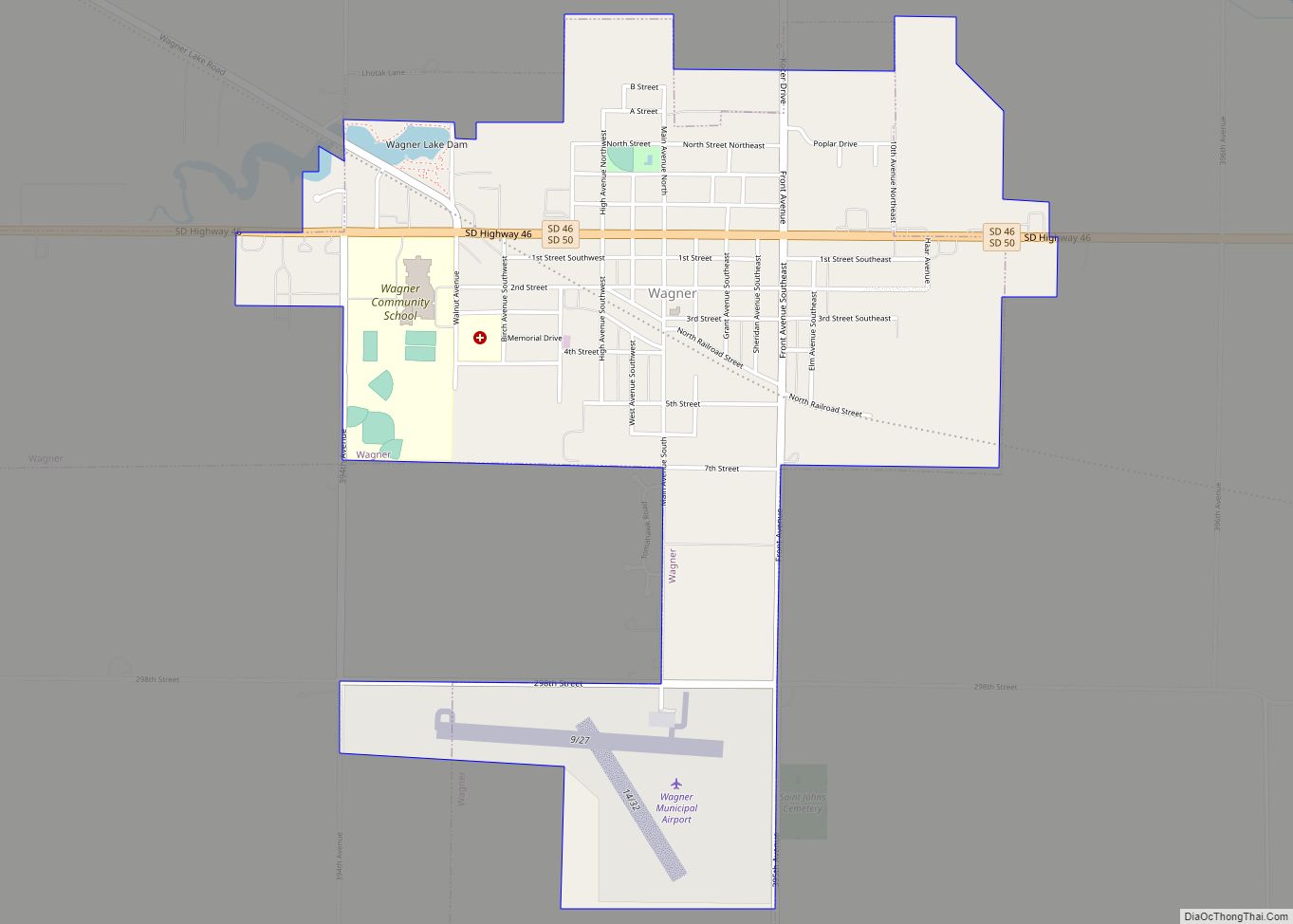
YST Transit serves the community and connects riders to Marty, Ravinia and Wagner as well.
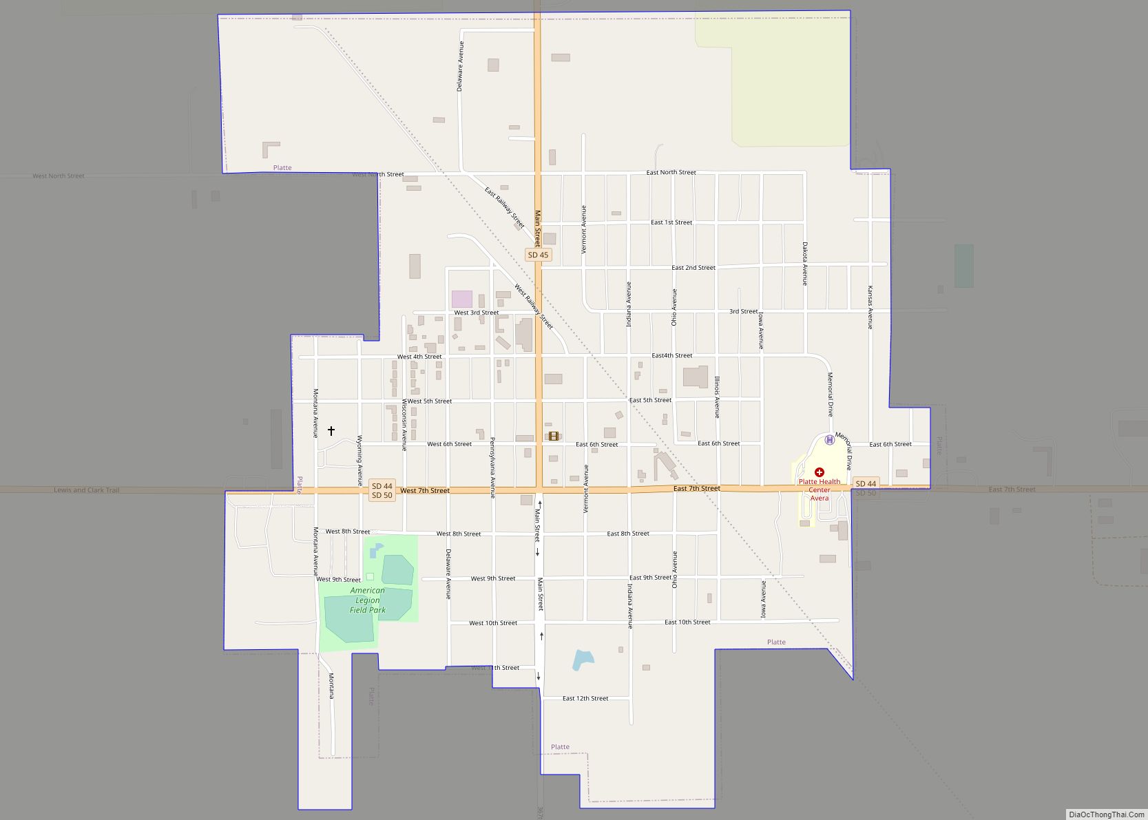
| Name: | Lake Andes city |
|---|---|
| LSAD Code: | 25 |
| LSAD Description: | city (suffix) |
| State: | South Dakota |
| County: | Charles Mix County |
| Incorporated: | 1905 |
| Elevation: | 1,480 ft (451 m) |
| Total Area: | 0.77 sq mi (1.99 km²) |
| Land Area: | 0.75 sq mi (1.93 km²) |
| Water Area: | 0.02 sq mi (0.06 km²) |
| Total Population: | 710 |
| Population Density: | 951.74/sq mi (367.44/km²) |
| ZIP code: | 57356 |
| Area code: | 605 |
| FIPS code: | 4635100 |
| GNISfeature ID: | 1256006 |
Online Interactive Map
Click on ![]() to view map in "full screen" mode.
to view map in "full screen" mode.
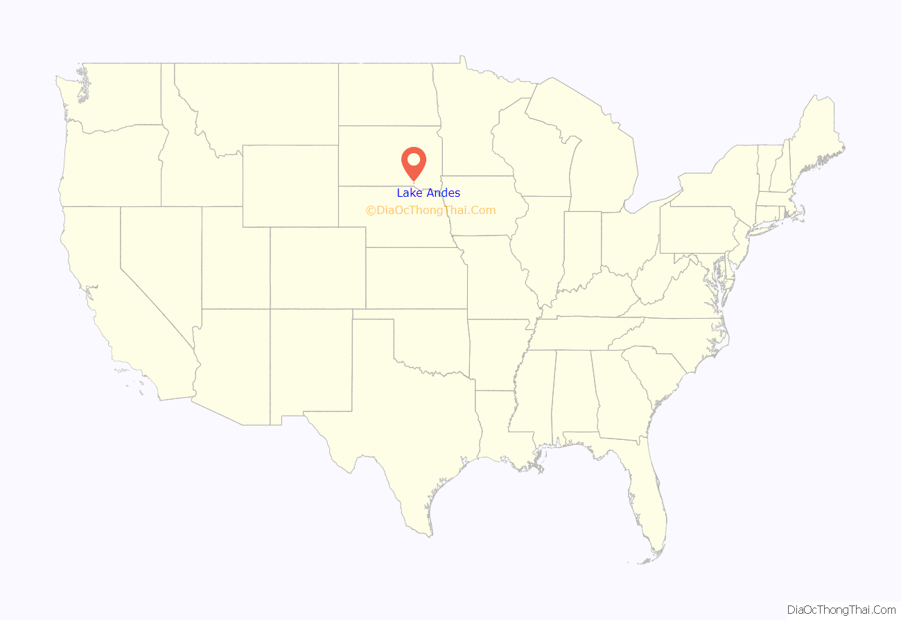
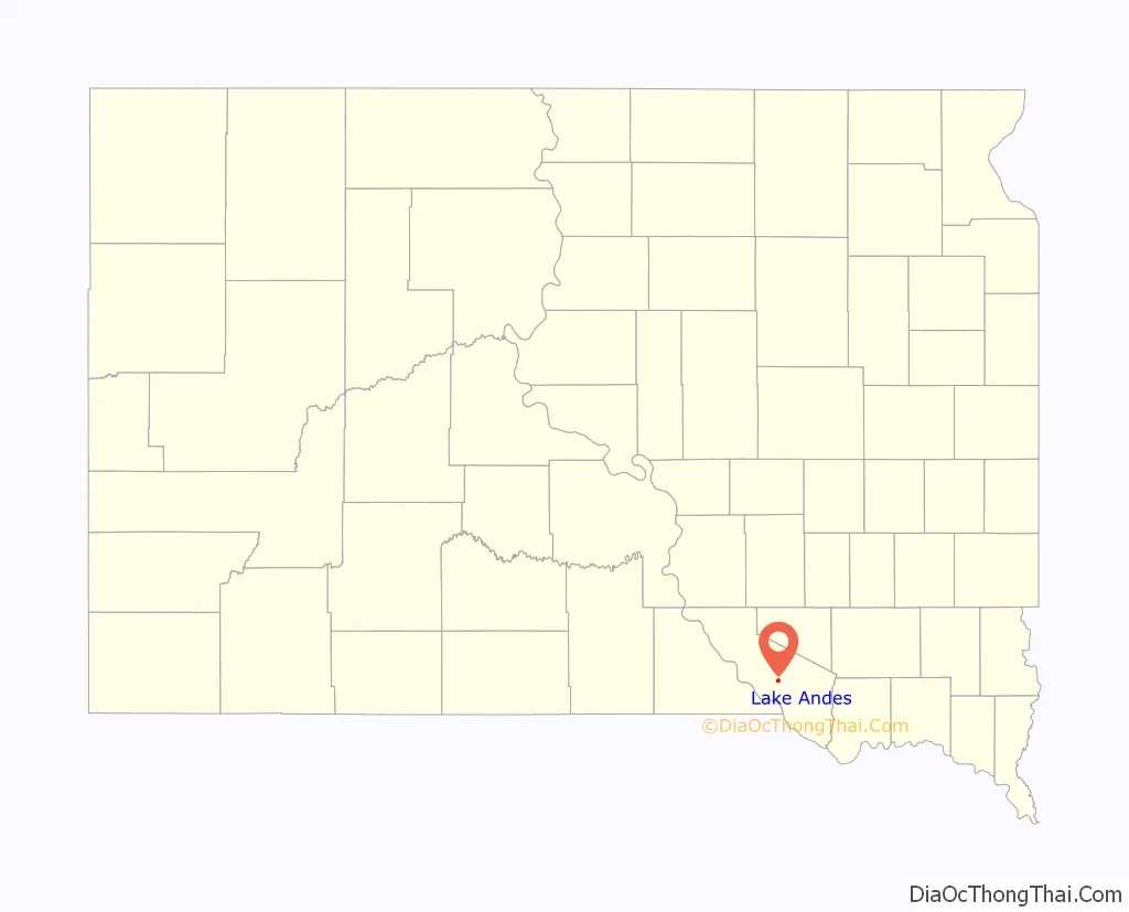
Lake Andes location map. Where is Lake Andes city?
Lake Andes Road Map
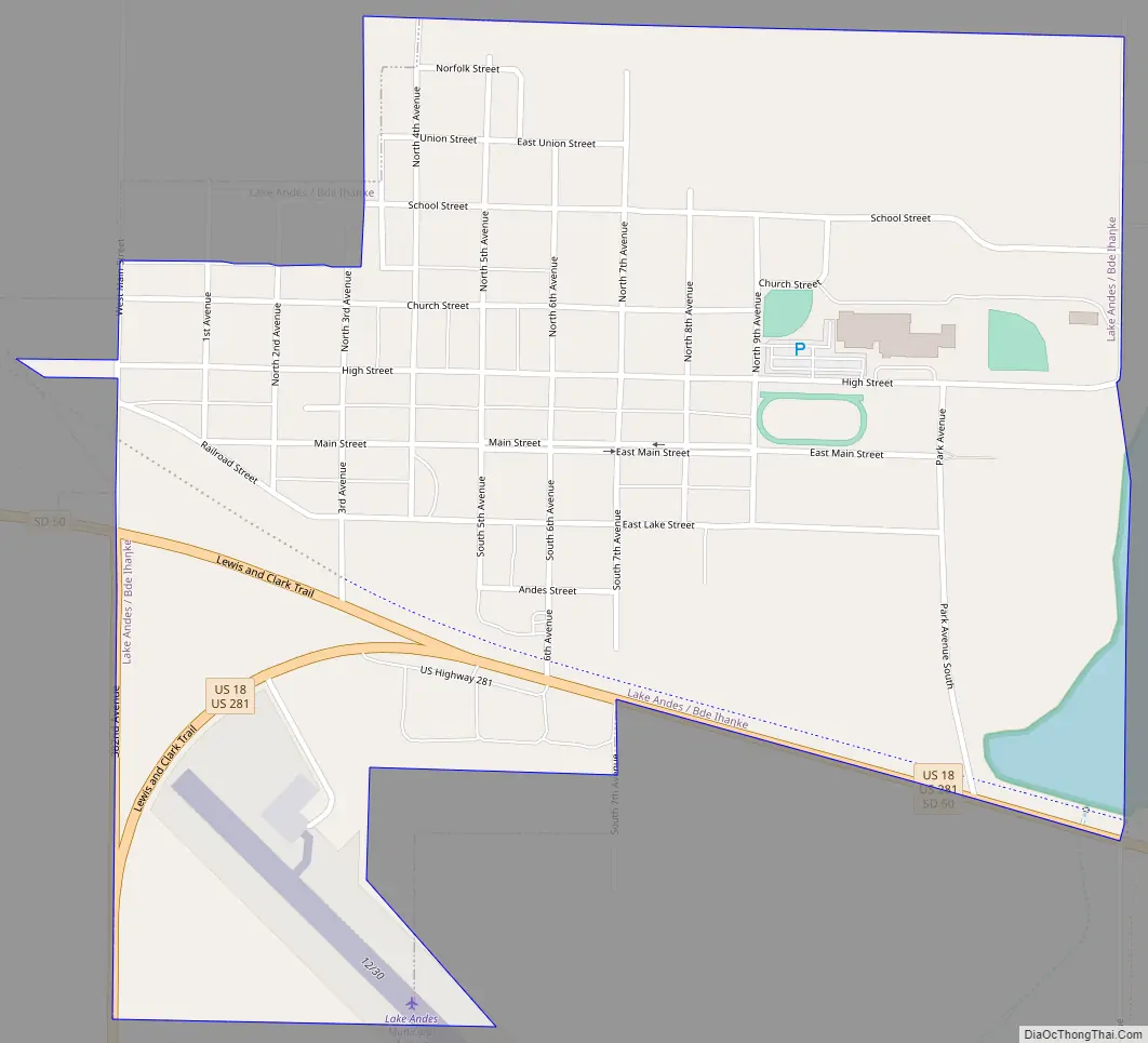
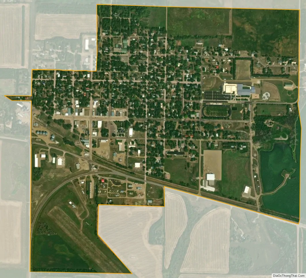
Lake Andes city Satellite Map
Geography
Lake Andes is located within Yankton Sioux Tribe’s reservation, at 43°9′25″N 98°32′17″W / 43.15694°N 98.53806°W / 43.15694; -98.53806 (43.156825, -98.538053).
According to the United States Census Bureau, the city has a total area of 0.82 square miles (2.12 km), of which 0.80 square miles (2.07 km) is land and 0.02 square miles (0.05 km) is water.
See also
Map of South Dakota State and its subdivision:- Aurora
- Beadle
- Bennett
- Bon Homme
- Brookings
- Brown
- Brule
- Buffalo
- Butte
- Campbell
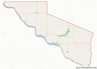
- Charles Mix
- Clark
- Clay
- Codington
- Corson
- Custer
- Davison
- Day
- Deuel
- Dewey
- Douglas
- Edmunds
- Fall River
- Faulk
- Grant
- Gregory
- Haakon
- Hamlin
- Hand
- Hanson
- Harding
- Hughes
- Hutchinson
- Hyde
- Jackson
- Jerauld
- Jones
- Kingsbury
- Lake
- Lawrence
- Lincoln
- Lyman
- Marshall
- McCook
- McPherson
- Meade
- Mellette
- Miner
- Minnehaha
- Moody
- Pennington
- Perkins
- Potter
- Roberts
- Sanborn
- Shannon
- Spink
- Stanley
- Sully
- Todd
- Tripp
- Turner
- Union
- Walworth
- Yankton
- Ziebach
- Alabama
- Alaska
- Arizona
- Arkansas
- California
- Colorado
- Connecticut
- Delaware
- District of Columbia
- Florida
- Georgia
- Hawaii
- Idaho
- Illinois
- Indiana
- Iowa
- Kansas
- Kentucky
- Louisiana
- Maine
- Maryland
- Massachusetts
- Michigan
- Minnesota
- Mississippi
- Missouri
- Montana
- Nebraska
- Nevada
- New Hampshire
- New Jersey
- New Mexico
- New York
- North Carolina
- North Dakota
- Ohio
- Oklahoma
- Oregon
- Pennsylvania
- Rhode Island
- South Carolina
- South Dakota
- Tennessee
- Texas
- Utah
- Vermont
- Virginia
- Washington
- West Virginia
- Wisconsin
- Wyoming