Mission is a city on the Rosebud Indian Reservation in northern Todd County, South Dakota, United States. The population was 1,156 at the 2020 census.
Mission is home of the Sinte Gleska University. It is the largest incorporated community in the county, but is smaller than the unincorporated community of Rosebud, the capital of the Rosebud Sioux Tribe.
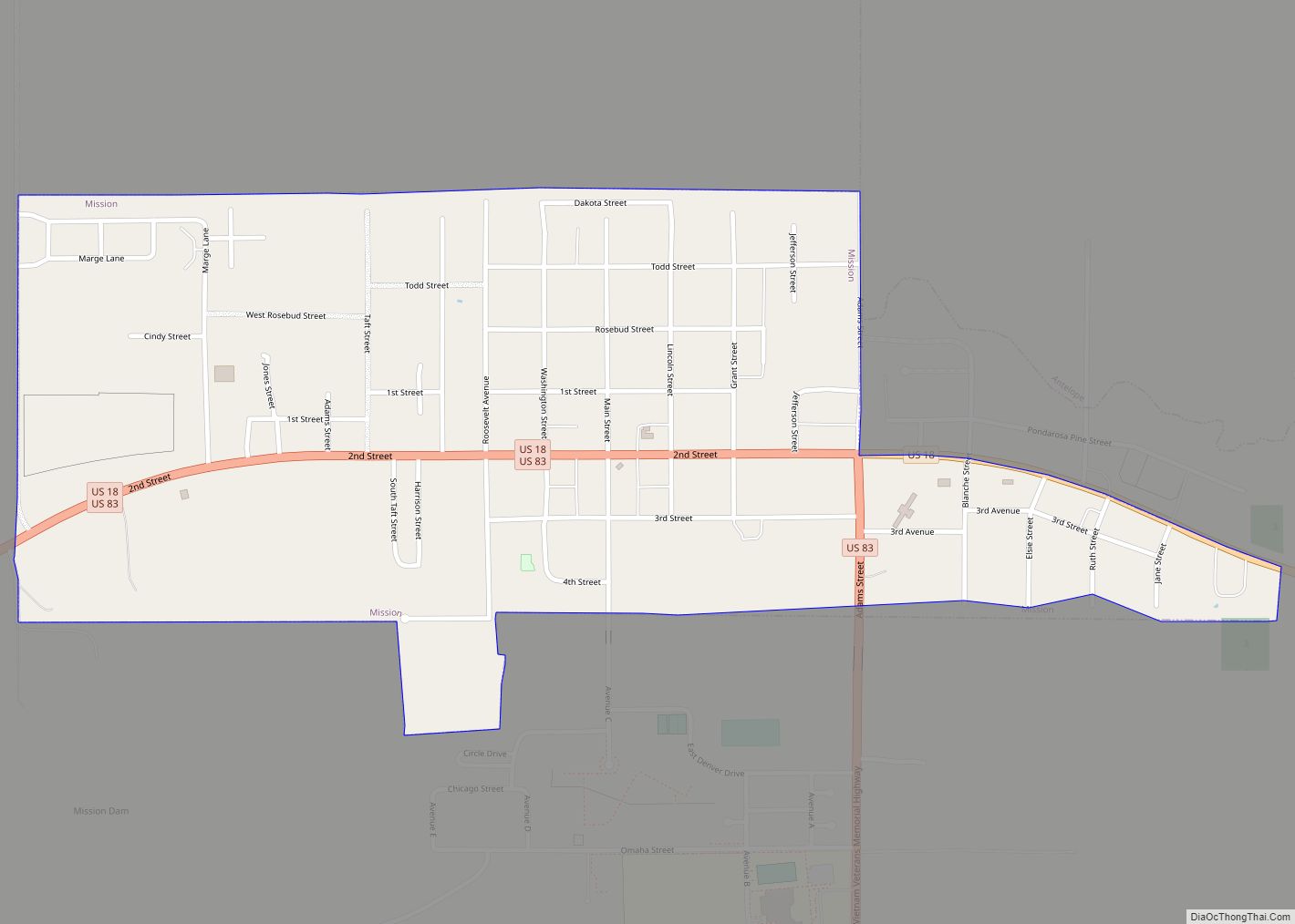
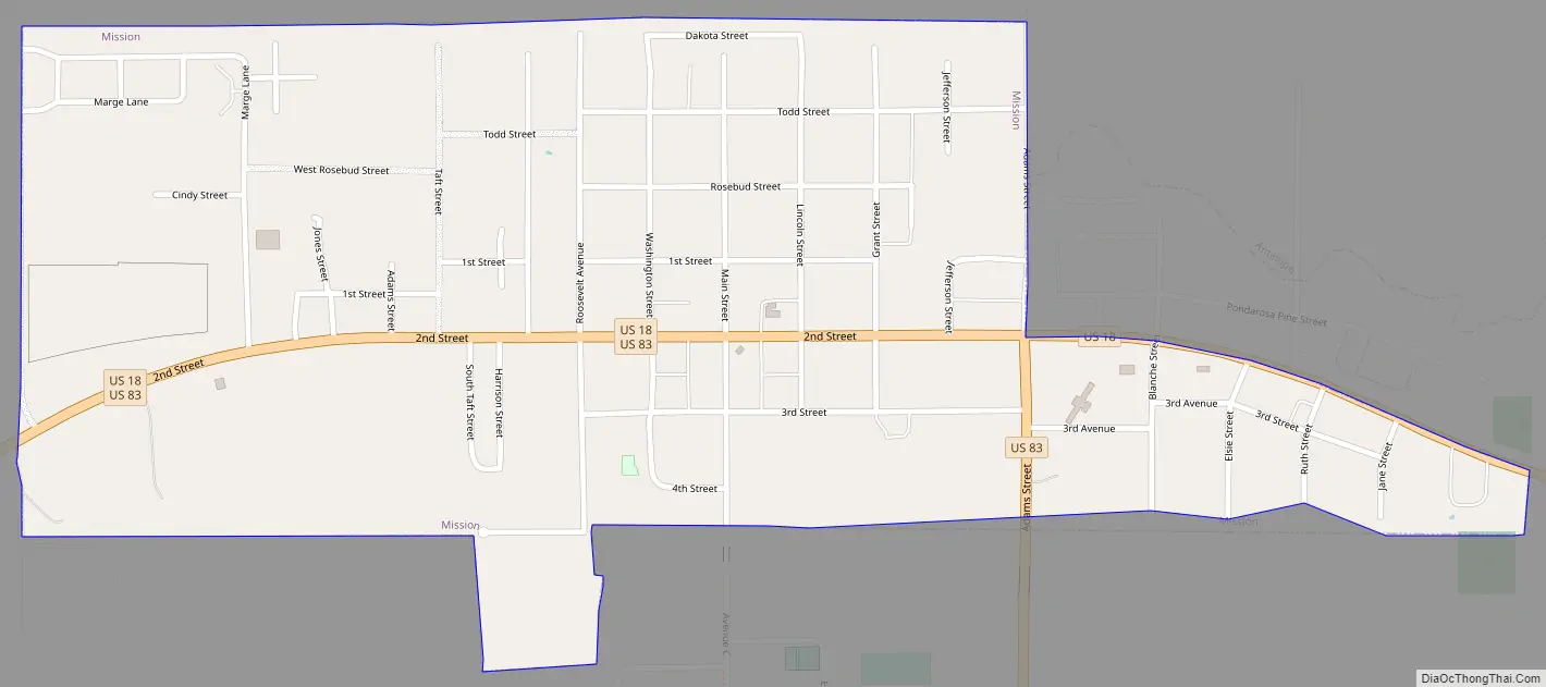
Mission is named for one of the many missions established by religious groups in the late 19th century to educate and assist the Sicangu Lakota (Rosebud Sioux) and other Native American people. The major economic center of the county, it is located at the junction of U.S. routes 18 and 83. The city contains part of the Oyate Trail, the headquarters of the Todd County School District, Cherry-Todd Rural Electric Cooperative, and various federal/tribal agencies.
| Name: | Mission city |
|---|---|
| LSAD Code: | 25 |
| LSAD Description: | city (suffix) |
| State: | South Dakota |
| County: | Todd County |
| Founded: | 1915 |
| Elevation: | 2,582 ft (787 m) |
| Total Area: | 0.59 sq mi (1.52 km²) |
| Land Area: | 0.59 sq mi (1.52 km²) |
| Water Area: | 0.00 sq mi (0.00 km²) |
| Total Population: | 1,156 |
| Population Density: | 1,969.34/sq mi (760.42/km²) |
| ZIP code: | 57555 |
| Area code: | 605 |
| FIPS code: | 4642940 |
| GNISfeature ID: | 1256494 |
| Website: | www.mission-sd.com |
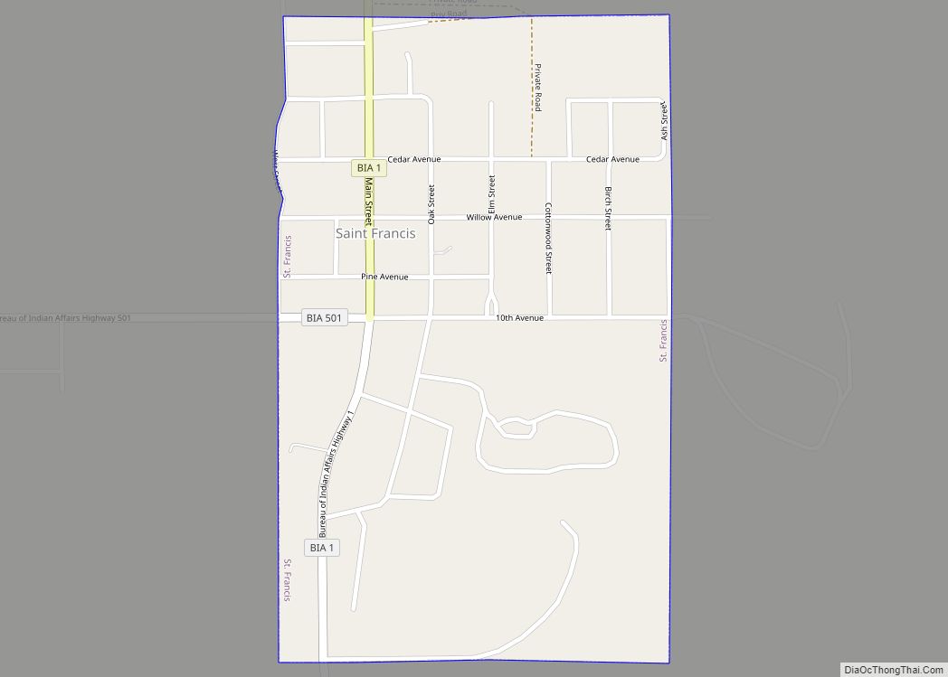
Online Interactive Map
Click on ![]() to view map in "full screen" mode.
to view map in "full screen" mode.
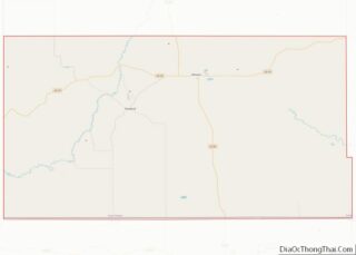
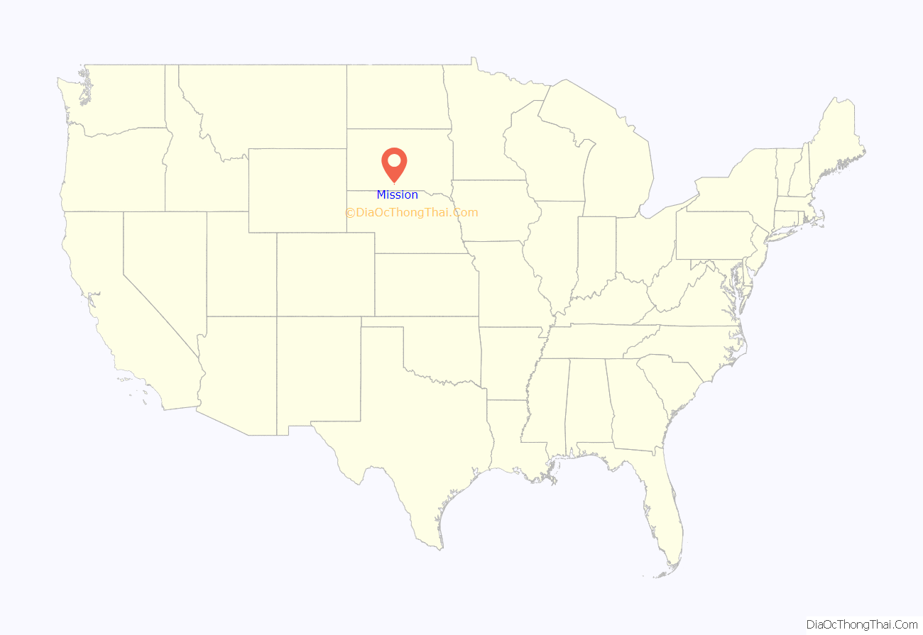
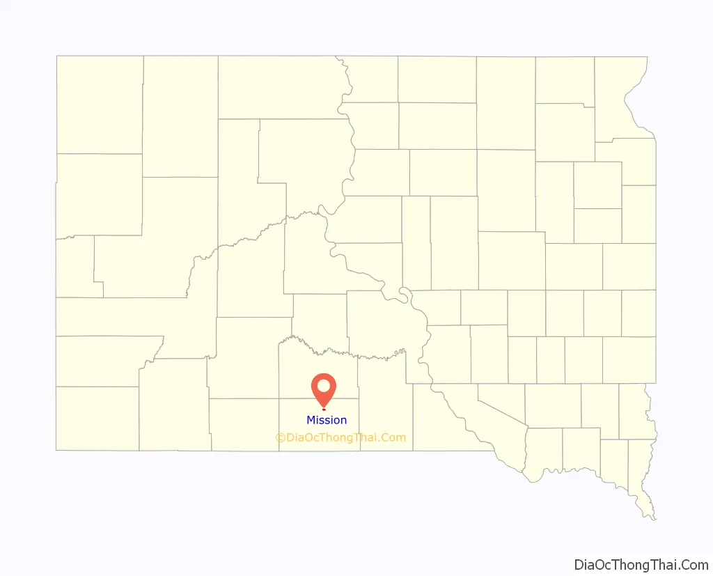
Mission location map. Where is Mission city?
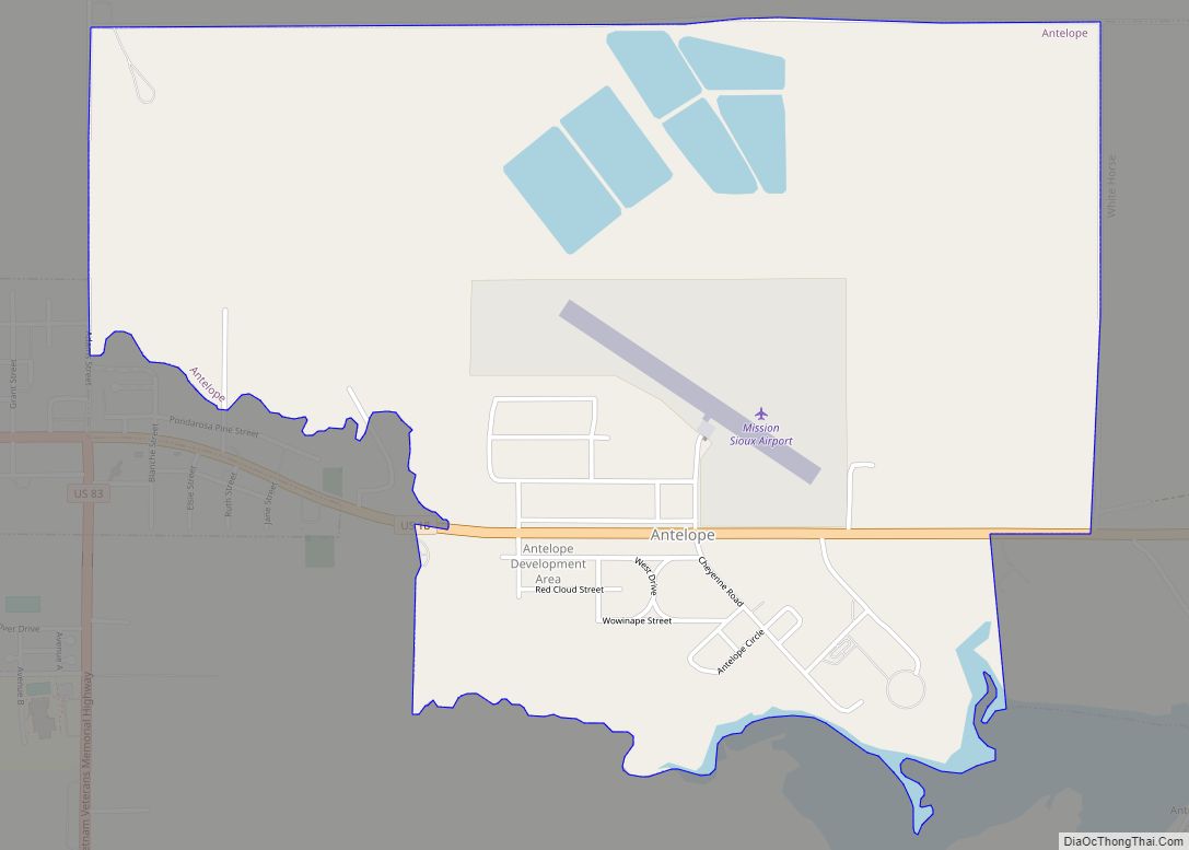
Mission Road Map
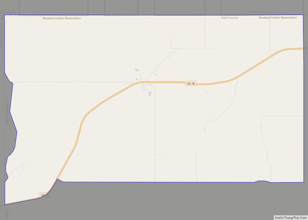
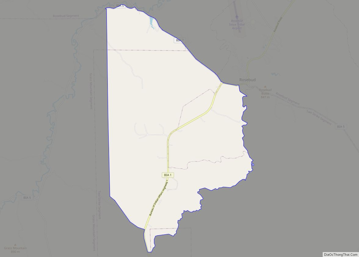
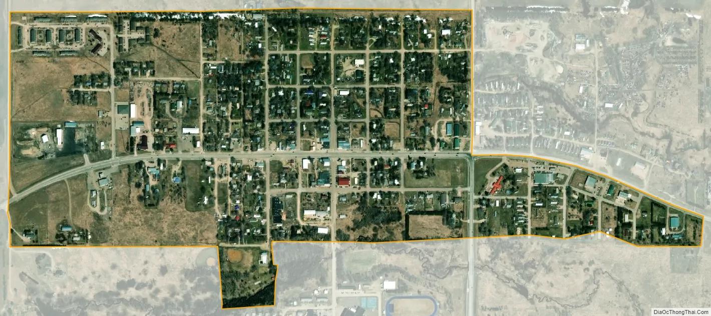
Mission city Satellite Map
Geography
According to the United States Census Bureau, the city has a total area of 0.59 square miles (1.53 km), all land.
Mission has been assigned the ZIP code 57555 and the FIPS place code 42940.
See also
Map of South Dakota State and its subdivision:- Aurora
- Beadle
- Bennett
- Bon Homme
- Brookings
- Brown
- Brule
- Buffalo
- Butte
- Campbell
- Charles Mix
- Clark
- Clay
- Codington
- Corson
- Custer
- Davison
- Day
- Deuel
- Dewey
- Douglas
- Edmunds
- Fall River
- Faulk
- Grant
- Gregory
- Haakon
- Hamlin
- Hand
- Hanson
- Harding
- Hughes
- Hutchinson
- Hyde
- Jackson
- Jerauld
- Jones
- Kingsbury
- Lake
- Lawrence
- Lincoln
- Lyman
- Marshall
- McCook
- McPherson
- Meade
- Mellette
- Miner
- Minnehaha
- Moody
- Pennington
- Perkins
- Potter
- Roberts
- Sanborn
- Shannon
- Spink
- Stanley
- Sully
- Todd
- Tripp
- Turner
- Union
- Walworth
- Yankton
- Ziebach
- Alabama
- Alaska
- Arizona
- Arkansas
- California
- Colorado
- Connecticut
- Delaware
- District of Columbia
- Florida
- Georgia
- Hawaii
- Idaho
- Illinois
- Indiana
- Iowa
- Kansas
- Kentucky
- Louisiana
- Maine
- Maryland
- Massachusetts
- Michigan
- Minnesota
- Mississippi
- Missouri
- Montana
- Nebraska
- Nevada
- New Hampshire
- New Jersey
- New Mexico
- New York
- North Carolina
- North Dakota
- Ohio
- Oklahoma
- Oregon
- Pennsylvania
- Rhode Island
- South Carolina
- South Dakota
- Tennessee
- Texas
- Utah
- Vermont
- Virginia
- Washington
- West Virginia
- Wisconsin
- Wyoming