Map of Twin Brooks town
Twin Brooks is a town in Grant County, South Dakota, United States. The population was 47 at the 2020 census. Twin Brooks was named for two small streams near the town site; an early variant name was Two Creeks. Twin Brooks town overview: Name: Twin Brooks town LSAD Code: 43 LSAD Description: town (suffix) State: ... Read more
Map of Twin Brooks town
Map of Turton town
Turton is a town in Spink County, South Dakota, United States. The population was 55 at the 2020 census. The town was served by Turton High School from 1915 to 1956; students attended Doland High School thereafter. Turton town overview: Name: Turton town LSAD Code: 43 LSAD Description: town (suffix) State: South Dakota County: Spink ... Read more
Map of Turton town
Map of Tulare town, South Dakota
Tulare (pronounced too-LAYR’) is a town in Spink County, South Dakota, United States. The population was 211 at the 2020 census. Tulare was laid out in 1883. Tulare town overview: Name: Tulare town LSAD Code: 43 LSAD Description: town (suffix) State: South Dakota County: Spink County Incorporated: 1916 Elevation: 1,312 ft (400 m) Total Area: 0.26 sq mi (0.66 km²) ... Read more
Map of Tulare town, South Dakota
Map of Tripp city
Tripp is a city in Hutchinson County, South Dakota, United States. The population was 575 in the 2020 census. Tripp city overview: Name: Tripp city LSAD Code: 25 LSAD Description: city (suffix) State: South Dakota County: Hutchinson County Incorporated: 1910 Elevation: 1,558 ft (475 m) Total Area: 0.59 sq mi (1.54 km²) Land Area: 0.59 sq mi (1.54 km²) Water Area: 0.00 sq mi (0.00 km²) ... Read more
Map of Tripp city
Map of Trent town, South Dakota
Trent is a town in Moody County, South Dakota, United States. The population was 206 at the 2020 census. Trent was laid out in 1874. Trent town overview: Name: Trent town LSAD Code: 43 LSAD Description: town (suffix) State: South Dakota County: Moody County Incorporated: 1884 Elevation: 1,503 ft (458 m) Total Area: 1.04 sq mi (2.70 km²) Land Area: ... Read more
Map of Trent town, South Dakota
Map of Toronto town, South Dakota
Toronto is a town in Deuel County, South Dakota, United States. The population was 196 at the 2020 census. Toronto was laid out in 1884, and named after the capital of Ontario, Canada, the native home of a first settler. Toronto town overview: Name: Toronto town LSAD Code: 43 LSAD Description: town (suffix) State: South ... Read more
Map of Toronto town, South Dakota
Map of Tolstoy town
Tolstoy is a town in Potter County, South Dakota, United States. The population was 35 at the 2020 census. Tolstoy was laid out in 1907, and named after Leo Tolstoy. Tolstoy town overview: Name: Tolstoy town LSAD Code: 43 LSAD Description: town (suffix) State: South Dakota County: Potter County Incorporated: 1907 Elevation: 1,939 ft (591 m) Total ... Read more
Map of Tolstoy town
Map of Timber Lake city
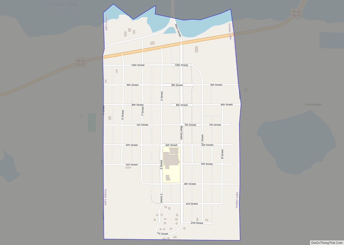
Timber Lake (Lakota: blečháŋ; “Tree Lake”) is a city in and the county seat of Dewey County, South Dakota, United States. The population was 509 at the 2020 census. Timber Lake city overview: Name: Timber Lake city LSAD Code: 25 LSAD Description: city (suffix) State: South Dakota County: Dewey County Incorporated: 1910 Elevation: 2,169 ft (661 m) ... Read more
Map of Timber Lake city
Map of Tea city
Tea is a city in Lincoln County, South Dakota, United States and is a suburb of Sioux Falls. The population was 5,598 at the 2020 census. Tea was laid out in 1894. The name “Tea” was selected on account of its brevity. Tea city overview: Name: Tea city LSAD Code: 25 LSAD Description: city (suffix) ... Read more
Map of Tea city
Map of Valley Springs city, South Dakota
Valley Springs is a city in Minnehaha County, South Dakota, United States. The population was 885 at the 2020 census. Valley Springs city overview: Name: Valley Springs city LSAD Code: 25 LSAD Description: city (suffix) State: South Dakota County: Minnehaha County Incorporated: 1879 Elevation: 1,404 ft (428 m) Total Area: 0.99 sq mi (2.55 km²) Land Area: 0.98 sq mi (2.55 km²) Water ... Read more
Map of Valley Springs city, South Dakota
Map of Vale CDP, South Dakota
Vale is an unincorporated community and census-designated place in Butte County, South Dakota, United States. According to the 2020 census, the population was 130. Vale has been assigned the ZIP code of 57788. The public school located in Vale, whose mascot was The Beet Diggers, closed in 1982. Vale was so-named because the town site ... Read more
Map of Vale CDP, South Dakota
Map of Utica town, South Dakota
Utica is a town in Yankton County, South Dakota, United States. The population was 70 at the 2020 census. Some say Utica is a name derived from the Sioux language meaning “dweller”, while others believe the name is a transfer from Utica, New York. Utica town overview: Name: Utica town LSAD Code: 43 LSAD Description: ... Read more
Map of Utica town, South Dakota