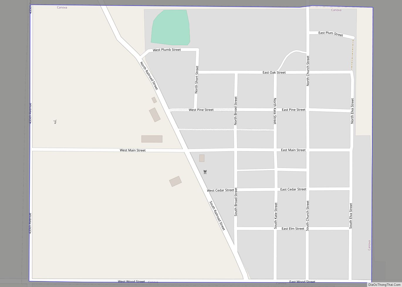
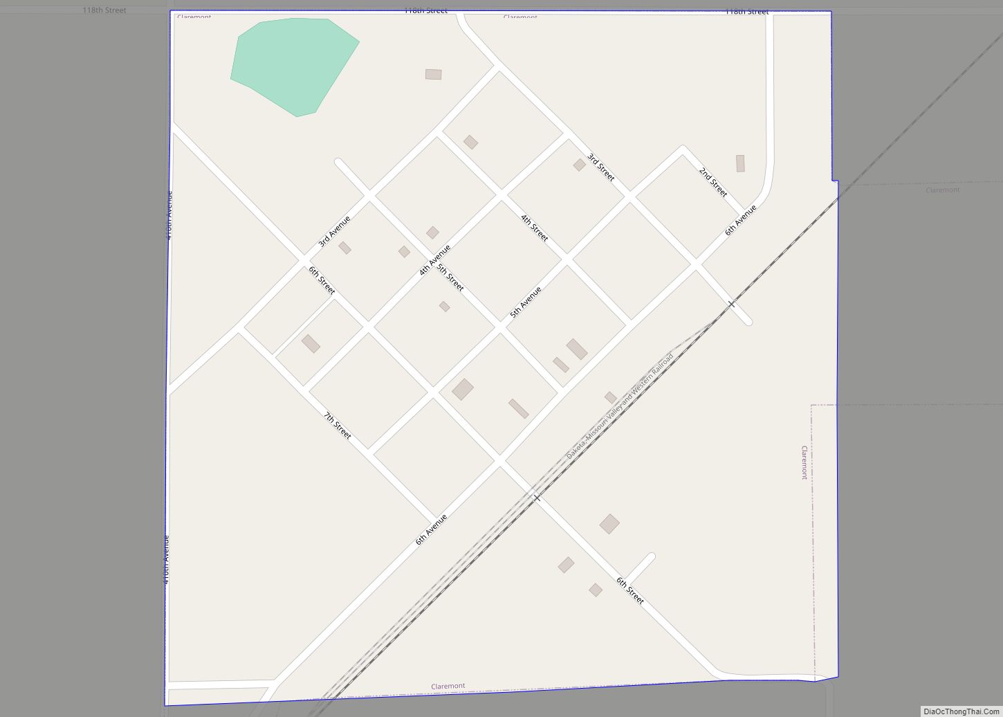
Map of Carthage city, South Dakota

Map of Carthage city, South Dakota

Carthage is a city in Miner County, South Dakota, United States. The population was 127 at the 2020 census. Carthage city overview: Name: Carthage city LSAD Code: 25 LSAD Description: city (suffix) State: South Dakota County: Miner County Incorporated: 1898 Elevation: 1,434 ft (437 m) Total Area: 1.49 sq mi (3.86 km²) Land Area: 1.46 sq mi (3.78 km²) Water Area: 0.03 sq mi (0.08 km²) … Read more

Map of Caputa CDP

Map of Caputa CDP

Caputa CDP overview: Name: Caputa CDP LSAD Code: 57 LSAD Description: CDP (suffix) State: South Dakota FIPS code: 4609780 Online Interactive Map Caputa online map. Source: Basemap layers from Google Map, Open Street Map (OSM), Arcgisonline, Wmflabs. Boundary Data from Database of Global Administrative Areas. Caputa location map. Where is Caputa CDP? Caputa Road Map … Read more

Map of Canton city, South Dakota

Map of Canton city, South Dakota

Canton is a city in and the county seat of Lincoln County, South Dakota, United States. Canton is located 20 minutes south of Sioux Falls in southeastern South Dakota. Canton is nestled in the rolling hills of the Sioux Valley, providing an abundance of recreational activities with the Big Sioux River bordering the eastern side, … Read more

Map of Colman city

Map of Colman city

Colman is a city in Moody County, South Dakota, United States. The population was 634 at the 2020 census. Colman city overview: Name: Colman city LSAD Code: 25 LSAD Description: city (suffix) State: South Dakota County: Moody County Founded: 1880 Elevation: 1,693 ft (516 m) Total Area: 1.88 sq mi (4.88 km²) Land Area: 1.88 sq mi (4.88 km²) Water Area: 0.00 sq mi (0.00 km²) … Read more

Map of Clear Lake city, South Dakota

Map of Clear Lake city, South Dakota

Clear Lake (Dakota: mdéza; “Clear”) is a city in and the county seat of Deuel County, South Dakota, United States. The population was 1,218 at the 2020 census. Clear Lake city overview: Name: Clear Lake city LSAD Code: 25 LSAD Description: city (suffix) State: South Dakota County: Deuel County Incorporated: 1900 Elevation: 1,834 ft (559 m) Total … Read more

Map of Clark city, South Dakota

Map of Clark city, South Dakota

Clark is a city in and county seat of Clark County, South Dakota, United States. The population was 1,148 at the 2020 census. Clark city overview: Name: Clark city LSAD Code: 25 LSAD Description: city (suffix) State: South Dakota County: Clark County Incorporated: 1886 Elevation: 1,798 ft (548 m) Total Area: 1.35 sq mi (3.51 km²) Land Area: 1.35 sq mi (3.51 km²) … Read more

Map of Claremont town, South Dakota

Map of Claremont town, South Dakota

Claremont is a town in Brown County, South Dakota, United States. The population was 108 at the 2020 census. It was incorporated in 1903 and has been home to a post office since 1887. The town most likely was named after Claremont, New Hampshire. Claremont town overview: Name: Claremont town LSAD Code: 43 LSAD Description: … Read more

Map of Claire City town

Map of Claire City town

Claire City is a town in Roberts County, South Dakota, United States. The population was 82 at the 2020 census. Claire City town overview: Name: Claire City town LSAD Code: 43 LSAD Description: town (suffix) State: South Dakota County: Roberts County Incorporated: 1913 Elevation: 1,201 ft (366 m) Total Area: 0.18 sq mi (0.47 km²) Land Area: 0.18 sq mi (0.47 km²) Water … Read more

Map of Chester CDP, South Dakota

Map of Chester CDP, South Dakota

Chester is an unincorporated community and census-designated place (CDP) in Lake County, South Dakota, United States. The population was 257 as of the 2020 census. Chester has been assigned the ZIP code of 57016. Chester CDP overview: Name: Chester CDP LSAD Code: 57 LSAD Description: CDP (suffix) State: South Dakota County: Lake County Elevation: 1,602 ft … Read more

Map of Chelsea town, South Dakota

Map of Chelsea town, South Dakota

Chelsea is a town in Faulk County, South Dakota, United States. The population was 19 at the 2020 census. The town was named after Chelsea, London, perhaps via Chelsea, Massachusetts. Chelsea town overview: Name: Chelsea town LSAD Code: 43 LSAD Description: town (suffix) State: South Dakota County: Faulk County Incorporated: 1906 Elevation: 1,352 ft (412 m) Total … Read more

Map of Chancellor town

Map of Chancellor town

Chancellor is a town in Turner County, South Dakota, United States. The population was 300 at the 2020 census. The community was named for Otto von Bismarck, Chancellor of the German Empire. Chancellor town overview: Name: Chancellor town LSAD Code: 43 LSAD Description: town (suffix) State: South Dakota County: Turner County Founded: 1895 Elevation: 1,362 ft … Read more

Map of Colonial Pine Hills CDP

Map of Colonial Pine Hills CDP

Colonial Pine Hills is a census-designated place (CDP) and unincorporated community in Pennington County, South Dakota, United States. The population was 1,903 at the 2020 census. Colonial Pine Hills CDP overview: Name: Colonial Pine Hills CDP LSAD Code: 57 LSAD Description: CDP (suffix) State: South Dakota County: Pennington County Elevation: 4,078 ft (1,243 m) Total Area: 15.29 sq mi … Read more