Clark is a city in and county seat of Clark County, South Dakota, United States. The population was 1,148 at the 2020 census.
| Name: | Clark city |
|---|---|
| LSAD Code: | 25 |
| LSAD Description: | city (suffix) |
| State: | South Dakota |
| County: | Clark County |
| Incorporated: | 1886 |
| Elevation: | 1,798 ft (548 m) |
| Total Area: | 1.35 sq mi (3.51 km²) |
| Land Area: | 1.35 sq mi (3.51 km²) |
| Water Area: | 0.00 sq mi (0.00 km²) |
| Total Population: | 1,148 |
| Population Density: | 848.48/sq mi (327.51/km²) |
| ZIP code: | 57225 |
| Area code: | 605 |
| FIPS code: | 4612180 |
| GNISfeature ID: | 1265158 |
| Website: | www.clarksd.com |
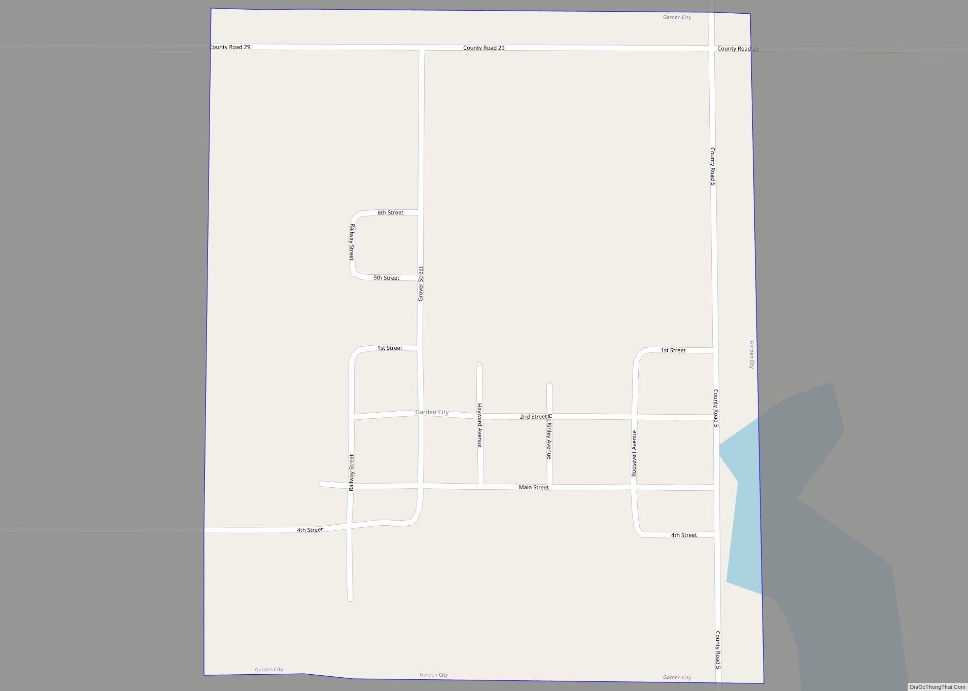
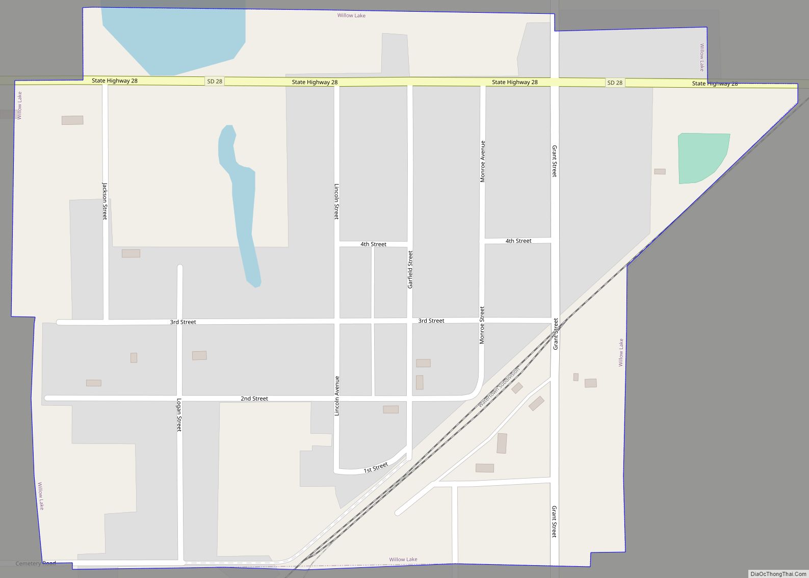
Online Interactive Map
Click on ![]() to view map in "full screen" mode.
to view map in "full screen" mode.
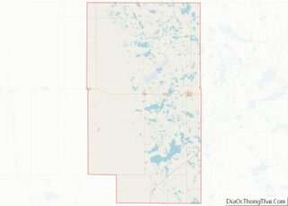
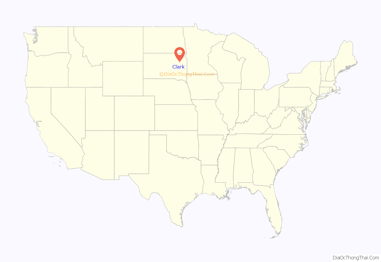
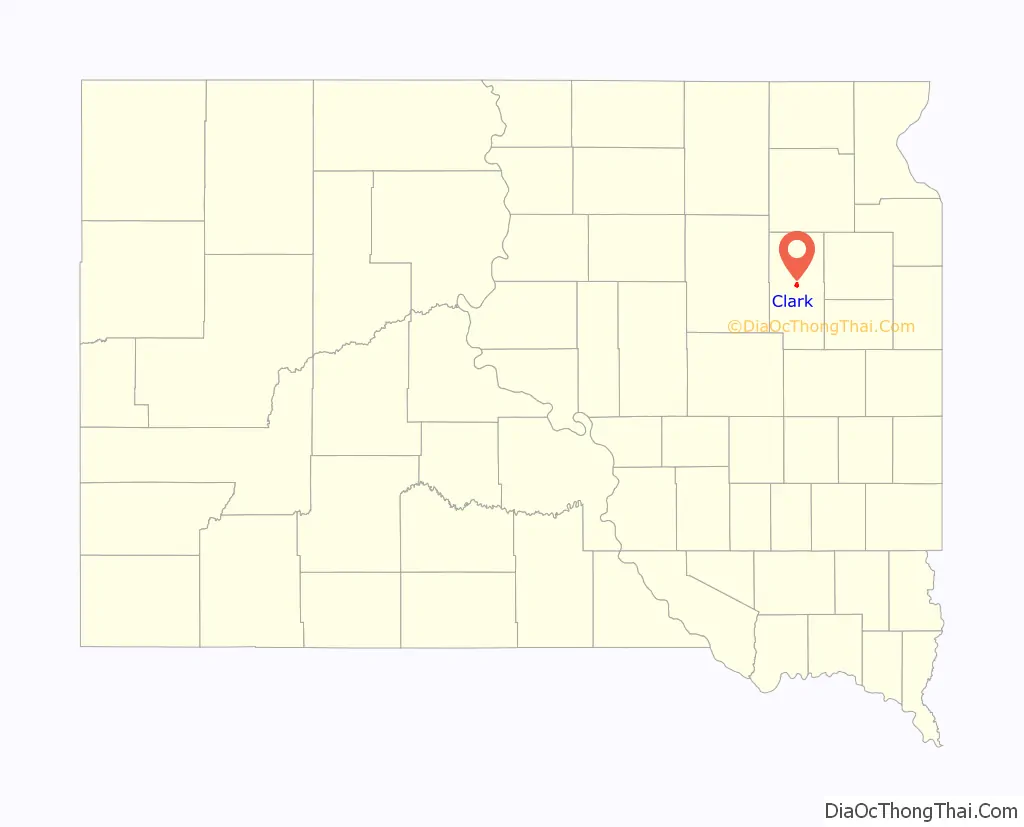
Clark location map. Where is Clark city?
History
A post office was established at Clark in 1880. Clark was platted in 1882. The city took its name from Clark County. An early variant name was Clark Center.
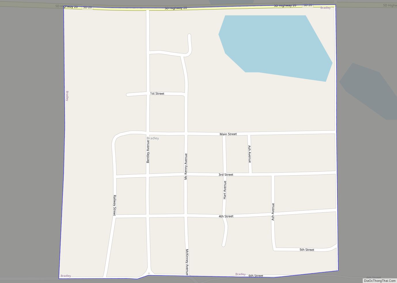
In 1882, railroad tracks were first built through the middle of Clark. The Burlington Northern railroad and County Highway 212 ran parallel to one another and divided Clark into halves – the north half and the south half. Highway 212 similarly runs through the middle of Clark, and provides a direct travel route starting in Minneapolis, Minnesota, into Clark, then went to the Black Hills and to Yellowstone National Park.
Clark was officially founded in 1886, three years before South Dakota became a state. Not long after in June 1899, the local government took action, and the Clark City Council passed Ordinance No. 26. Serving as one of the first regulations enacted in Clark, Ordinance No. 26 made it unlawful for a person to ride a horse or bicycle, faster than eight miles an hour down Commercial Street. Eighteen years later, in 1917, residents from Elrod, a small town east of Clark, made a failed effort to move the county seat from Clark to Elrod. As of 2019, Clark still serves as the county seat and houses the modest Clark County Courthouse and a public library.
As for Clark’s population, the highest number of residents was during the 1950s and early 1960s, which peaked at nearly 1,500 residents. In 1970, the numbers decreased to approximately 1,356 residents, and has decreased each decade thereafter. In 2016, the estimated population of Clark was 1,050 residents, or nearly a 30% population drop from the 1960s.
In the 1960s, when the town reached its peak population, residents from surrounding municipalities commonly traveled to Clark for work, entertainment, and to attend school with the Clark Public School System. Neighboring Townships, including Thorpe, Carpenter, and Garfield, bused their students to attend school at one of the three school buildings which offered a K through 12 education.
Many residents who called Clark home lived on family farms on the outskirts of town. And those living in town mostly resided in relatively modest homes, and often worked in the retail stores on Commercial Street.
Through the 1960s, the Clark community was able to support a variety of small businesses, including two hardware stores, two banks, two grain elevators, two clothing stores, a jewelry store, a movie theater, a bakery, a restaurant, and a dry cleaners.
As the years passed and the economy of Clark changed, various stores on Commercial Street came and went. The Burlington Northern Railroad stopped servicing Clark. However, the Clark water tower, the oft used grain elevators, and County Highway 212 remained in full use.
In the spring of 2018, only 12 students graduated from Clark High School, which is significantly less than the 66 students who graduated from Clark High School near its peak in 1968. However, recent numbers show that enrollment in the Clark Elementary School kindergarten class is at 28 students for the 2017–2018 school year.
Clark Road Map
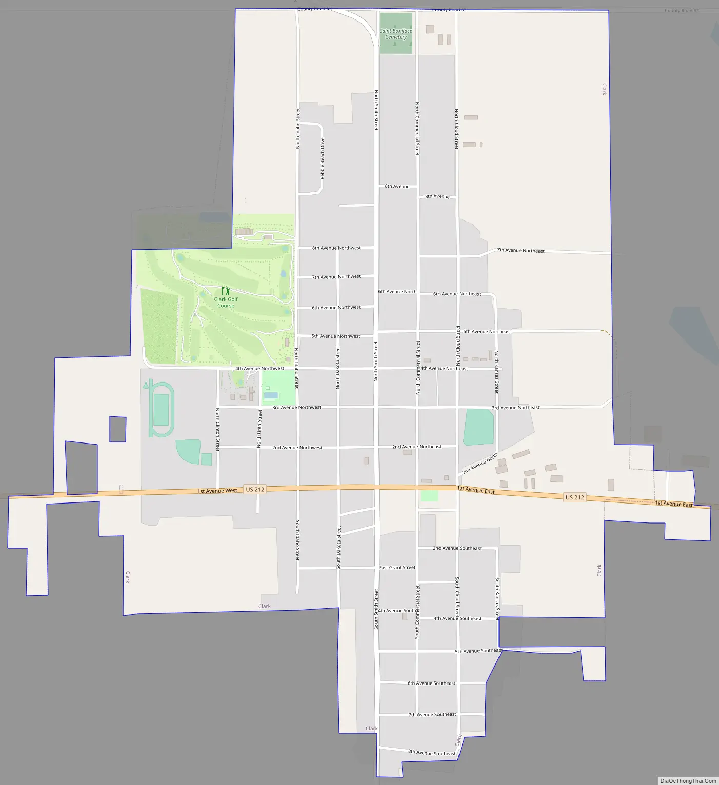
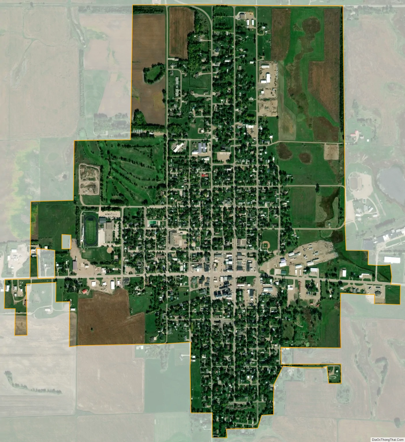
Clark city Satellite Map
Geography
Clark is located at 44°52′46″N 97°44′3″W / 44.87944°N 97.73417°W / 44.87944; -97.73417 (44.879459, -97.734181960s2). The town of Clark is located almost exactly in the geographical center of Clark County. The highest point in Clark County is located near the Township of Maydell, and the unnamed peak rises to 1,930 ft.
According to the United States Census Bureau, the city has a total area of 1.28 square miles (3.32 km), all land.
Clark has been assigned the ZIP code 57225 and the FIPS place code 12180.
See also
Map of South Dakota State and its subdivision:- Aurora
- Beadle
- Bennett
- Bon Homme
- Brookings
- Brown
- Brule
- Buffalo
- Butte
- Campbell
- Charles Mix
- Clark
- Clay
- Codington
- Corson
- Custer
- Davison
- Day
- Deuel
- Dewey
- Douglas
- Edmunds
- Fall River
- Faulk
- Grant
- Gregory
- Haakon
- Hamlin
- Hand
- Hanson
- Harding
- Hughes
- Hutchinson
- Hyde
- Jackson
- Jerauld
- Jones
- Kingsbury
- Lake
- Lawrence
- Lincoln
- Lyman
- Marshall
- McCook
- McPherson
- Meade
- Mellette
- Miner
- Minnehaha
- Moody
- Pennington
- Perkins
- Potter
- Roberts
- Sanborn
- Shannon
- Spink
- Stanley
- Sully
- Todd
- Tripp
- Turner
- Union
- Walworth
- Yankton
- Ziebach
- Alabama
- Alaska
- Arizona
- Arkansas
- California
- Colorado
- Connecticut
- Delaware
- District of Columbia
- Florida
- Georgia
- Hawaii
- Idaho
- Illinois
- Indiana
- Iowa
- Kansas
- Kentucky
- Louisiana
- Maine
- Maryland
- Massachusetts
- Michigan
- Minnesota
- Mississippi
- Missouri
- Montana
- Nebraska
- Nevada
- New Hampshire
- New Jersey
- New Mexico
- New York
- North Carolina
- North Dakota
- Ohio
- Oklahoma
- Oregon
- Pennsylvania
- Rhode Island
- South Carolina
- South Dakota
- Tennessee
- Texas
- Utah
- Vermont
- Virginia
- Washington
- West Virginia
- Wisconsin
- Wyoming