Bridgeport is a city in Wise County, Texas, United States. The population was 5,923 in 2020. In 2009, Bridgeport was named by the Texas Legislature as the Stagecoach Capital of Texas. Bridgeport city overview: Name: Bridgeport city LSAD Code: 25 LSAD Description: city (suffix) State: Texas County: Wise County Elevation: 801 ft (244 m) Total Area: 7.85 sq mi ... Read more
Texas Cities and Places
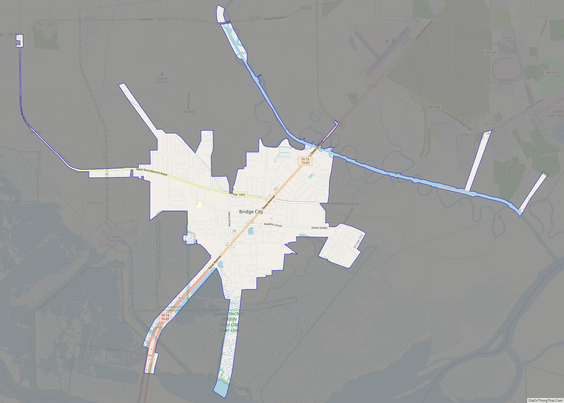
Bridge City is a city in Orange County, Texas, United States. It is 100 miles east of Houston, near the Gulf of Mexico. The population was 9,546 at the 2020 Census. The town borders the Neches River and Cow Bayou. It is part of the Beaumont–Port Arthur Metropolitan Statistical Area. The area is mostly known ... Read more
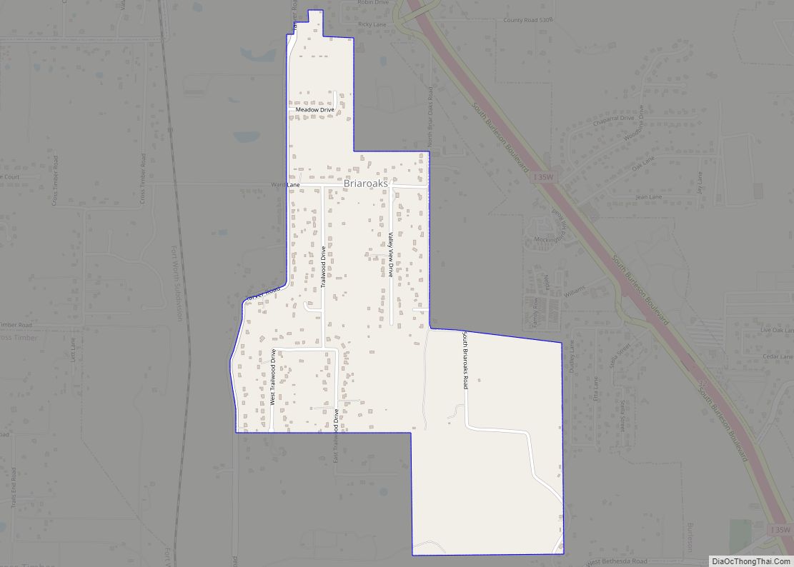
Briaroaks is a city in Johnson County, Texas, United States. The population was 492 at the 2010 census. Briaroaks city overview: Name: Briaroaks city LSAD Code: 25 LSAD Description: city (suffix) State: Texas County: Johnson County Elevation: 738 ft (225 m) Total Area: 1.07 sq mi (2.77 km²) Land Area: 1.07 sq mi (2.77 km²) Water Area: 0.00 sq mi (0.00 km²) Total Population: 492 Population ... Read more
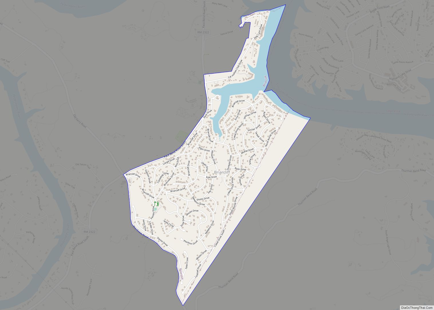
Briarcliff is a village in Travis County, Texas, United States. The population was 1,438 at the 2010 census. Briarcliff village overview: Name: Briarcliff village LSAD Code: 47 LSAD Description: village (suffix) State: Texas County: Travis County Elevation: 758 ft (231 m) Total Area: 1.73 sq mi (4.49 km²) Land Area: 1.65 sq mi (4.27 km²) Water Area: 0.09 sq mi (0.23 km²) Total Population: 1,438 Population ... Read more
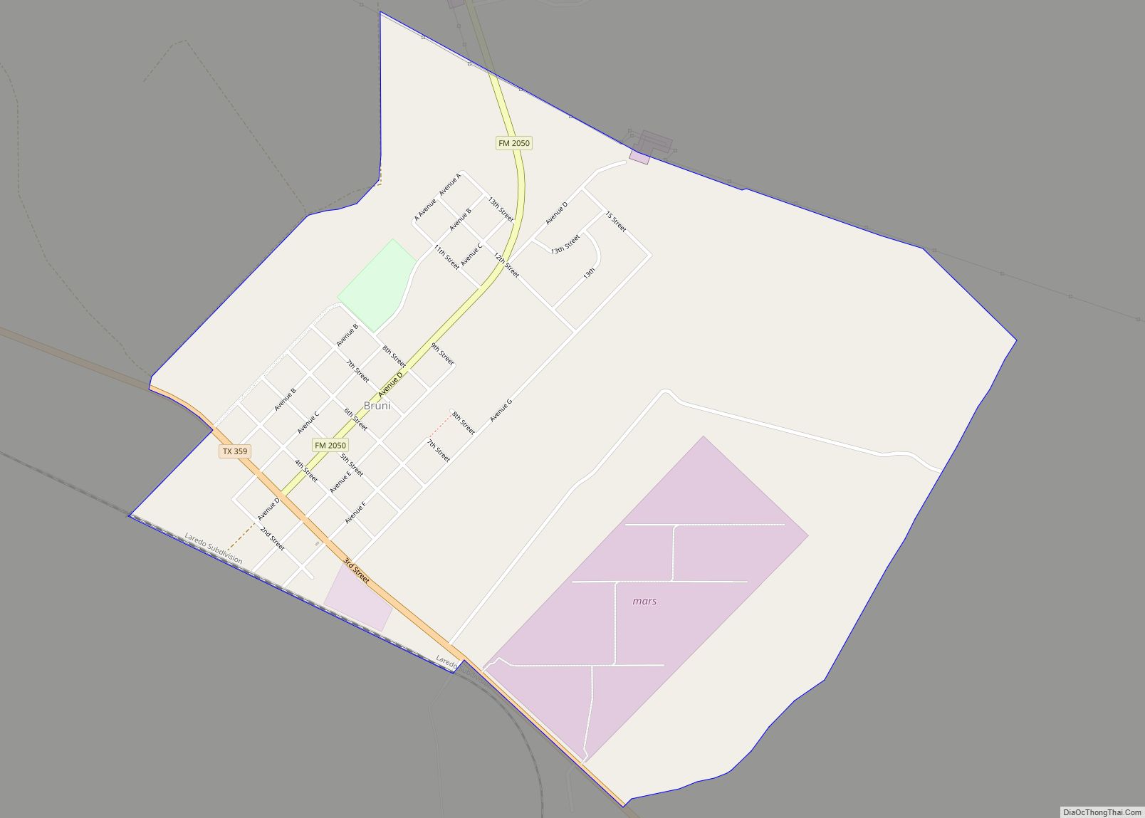
Bruni is a census-designated place (CDP) in Webb County, Texas, United States. The population was 379 at the 2010 census. It is one of several colonias in the county. Bruni CDP overview: Name: Bruni CDP LSAD Code: 57 LSAD Description: CDP (suffix) State: Texas County: Webb County Elevation: 771 ft (235 m) Total Area: 1.3 sq mi (3.4 km²) Land ... Read more
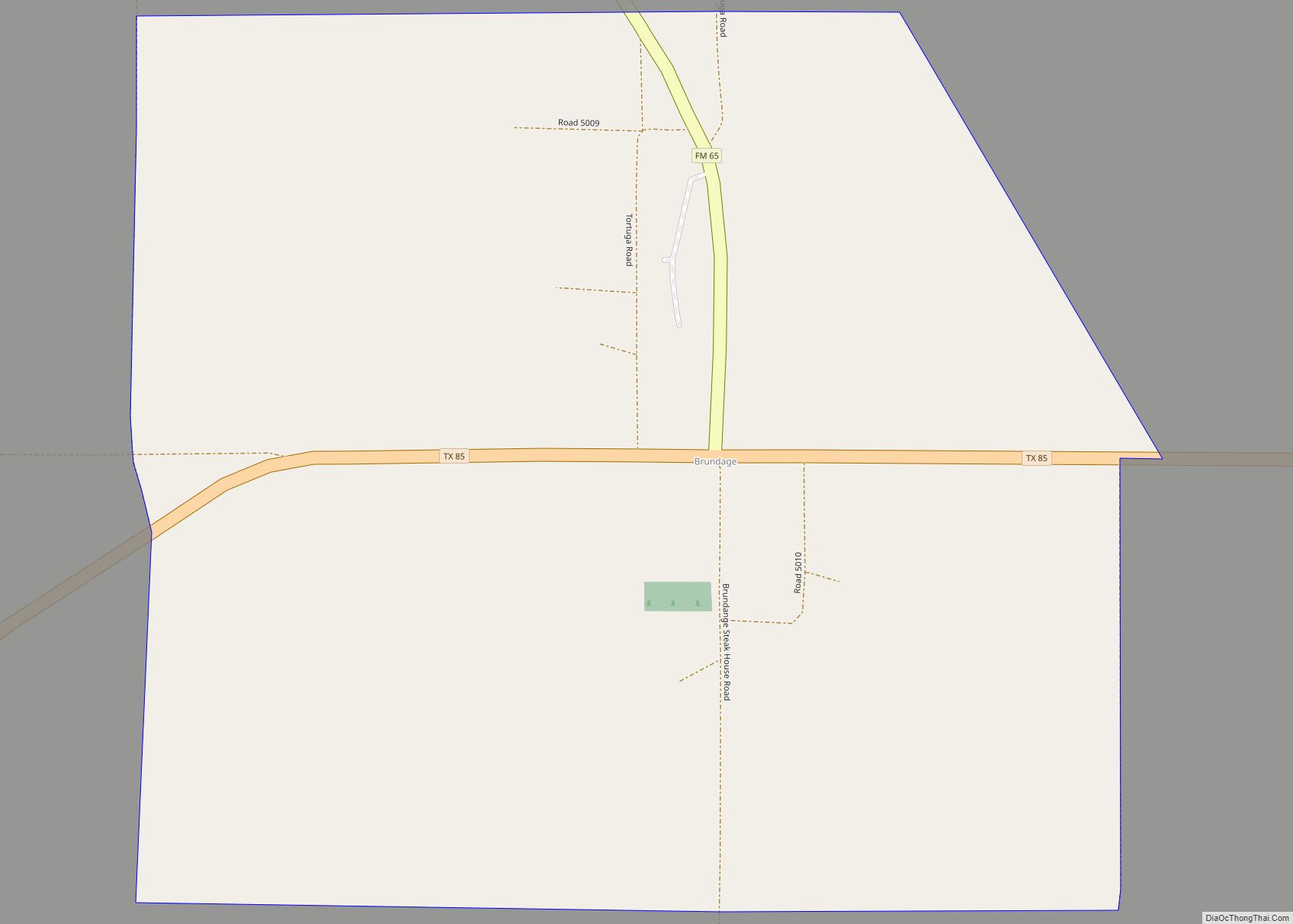
Brundage is an unincorporated community and census-designated place (CDP) in Dimmit County, Texas, United States. The population was 27 at the 2010 census. Brundage CDP overview: Name: Brundage CDP LSAD Code: 57 LSAD Description: CDP (suffix) State: Texas County: Dimmit County Elevation: 535 ft (163 m) Total Area: 0.6 sq mi (1.6 km²) Land Area: 0.6 sq mi (1.6 km²) Water Area: 0.0 sq mi ... Read more
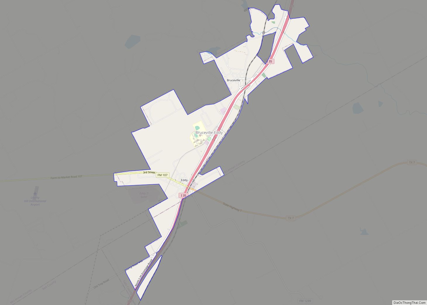
Bruceville-Eddy is a city in McLennan and Falls Counties in the U.S. state of Texas. Its population was 1,413 at the 2020 census. Most of the city is in McLennan County and is part of the Waco metropolitan statistical area. A small southern portion is in Falls County. Bruceville-Eddy city overview: Name: Bruceville-Eddy city LSAD ... Read more
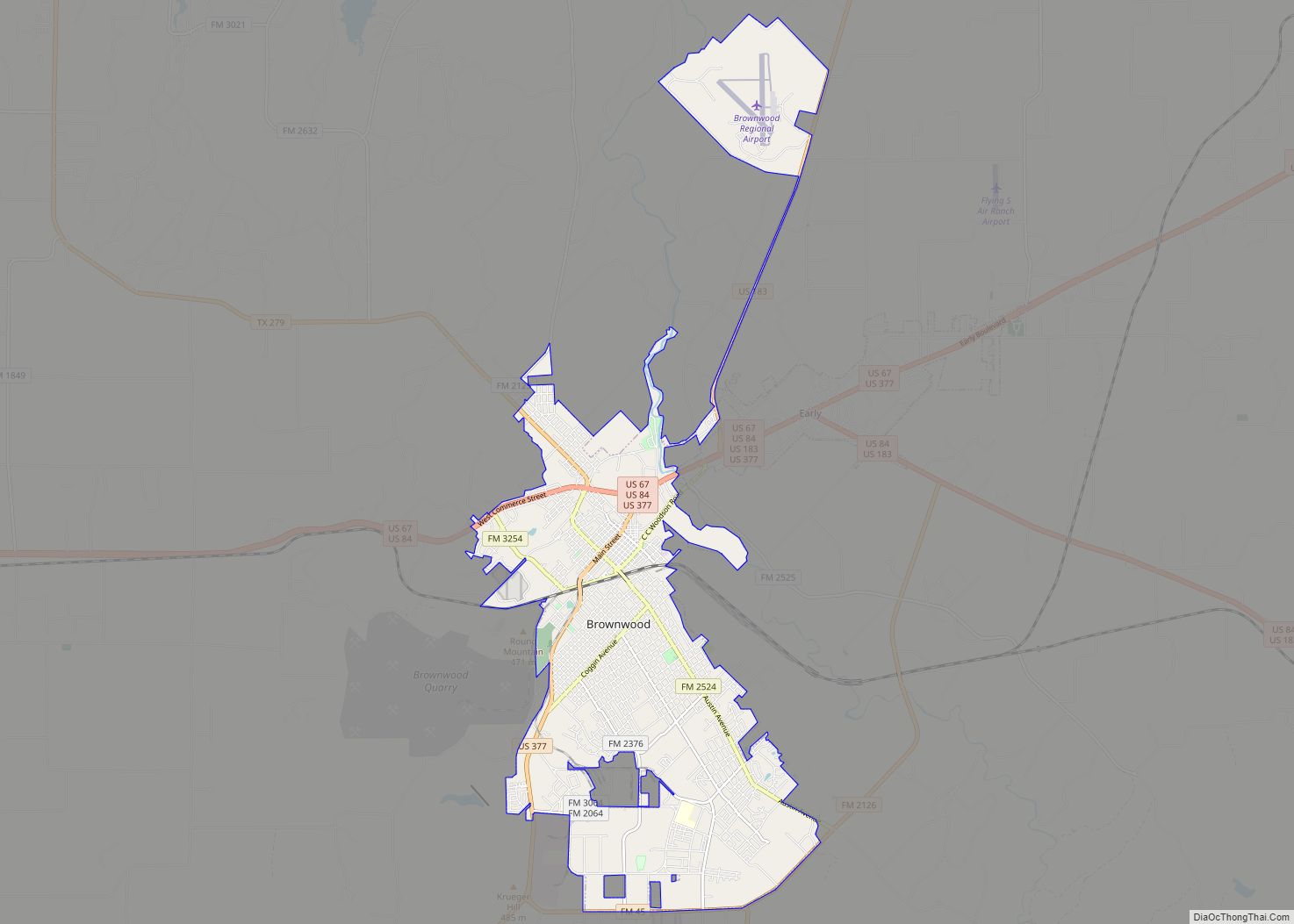
Brownwood is a city in and the county seat of Brown County, Texas, United States. The population was 18,862 as of the 2020 census. Brownwood is located in the Northern Texas Hill Country and is home to Howard Payne University, which was founded in 1889. Brownwood city overview: Name: Brownwood city LSAD Code: 25 LSAD ... Read more
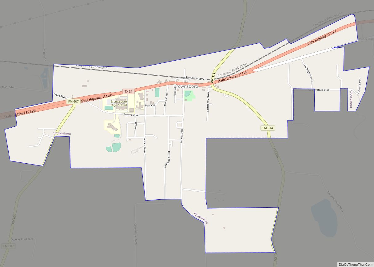
Brownsboro is a city in Henderson County, Texas, United States. The population was 1,212 at the 2020 census, up from 1,039 at the 2010 census. The city is on Texas State Highway 31. Brownsboro city overview: Name: Brownsboro city LSAD Code: 25 LSAD Description: city (suffix) State: Texas County: Henderson County Elevation: 381 ft (116 m) Total ... Read more
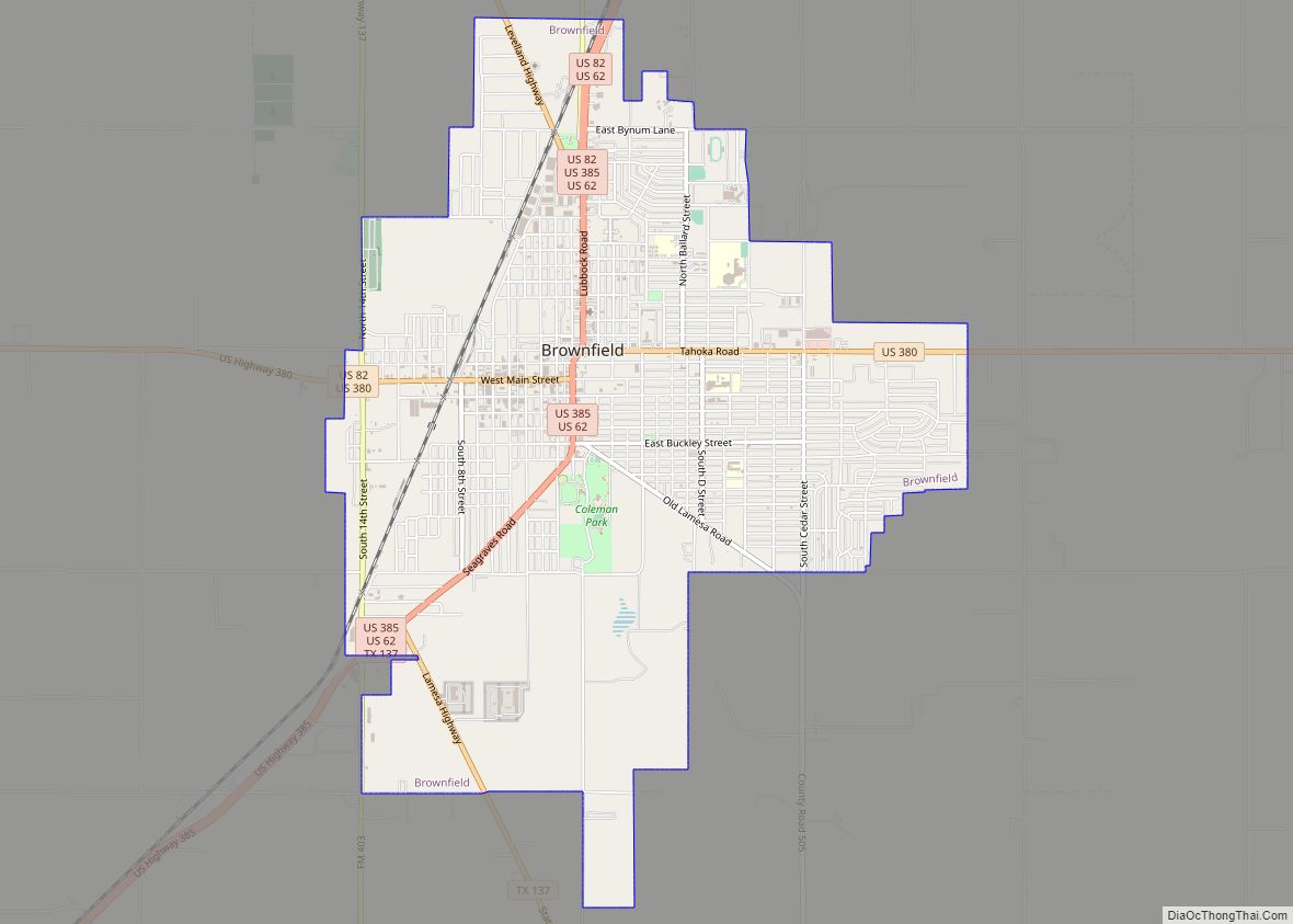
Brownfield is a city in Terry County, Texas, United States. Its population was 8,936 at the 2020 census. Brownfield is 39 miles southwest of Lubbock, it is the county seat of Terry County. Brownfield city overview: Name: Brownfield city LSAD Code: 25 LSAD Description: city (suffix) State: Texas County: Terry County Elevation: 3,310 ft (1,009 m) Total ... Read more
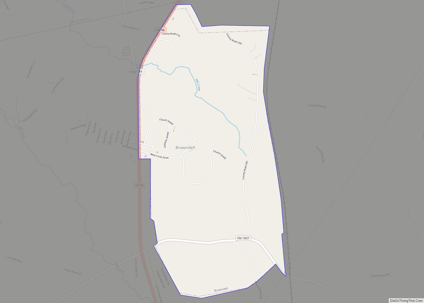
Browndell is a city in Jasper County, Texas, United States. The population was 160 at the 2020 census. Browndell city overview: Name: Browndell city LSAD Code: 25 LSAD Description: city (suffix) State: Texas County: Jasper County Elevation: 253 ft (77 m) Total Area: 2.44 sq mi (6.33 km²) Land Area: 2.44 sq mi (6.33 km²) Water Area: 0.00 sq mi (0.00 km²) Total Population: 160 Population ... Read more
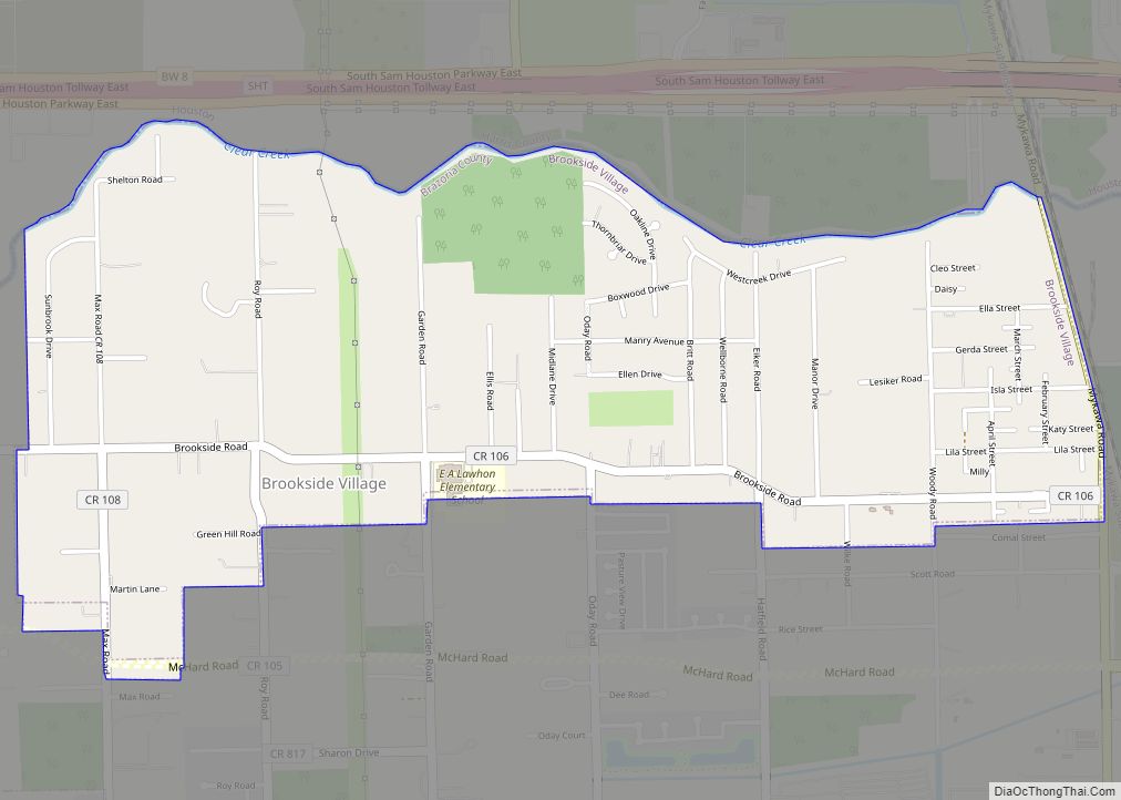
Brookside Village is a city in Brazoria County, Texas, United States. The population of the city was 1,548 at the 2020 U.S. census, up from 1,523 at the 2010 U.S. census. In 2018 its population rebounded to an estimated 1,814, but declined in 2019 to 1,577 according to the American Community Survey. The city of ... Read more

