Brownfield is a city in Terry County, Texas, United States. Its population was 8,936 at the 2020 census. Brownfield is 39 miles southwest of Lubbock, it is the county seat of Terry County.
| Name: | Brownfield city |
|---|---|
| LSAD Code: | 25 |
| LSAD Description: | city (suffix) |
| State: | Texas |
| County: | Terry County |
| Elevation: | 3,310 ft (1,009 m) |
| Total Area: | 6.55 sq mi (16.97 km²) |
| Land Area: | 6.51 sq mi (16.87 km²) |
| Water Area: | 0.04 sq mi (0.10 km²) |
| Total Population: | 8,936 |
| Population Density: | 1,400/sq mi (530/km²) |
| ZIP code: | 79316 |
| Area code: | 806 |
| FIPS code: | 4810720 |
| GNISfeature ID: | 1352989 |
| Website: | www.ci.brownfield.tx.us |
Online Interactive Map
Click on ![]() to view map in "full screen" mode.
to view map in "full screen" mode.
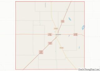
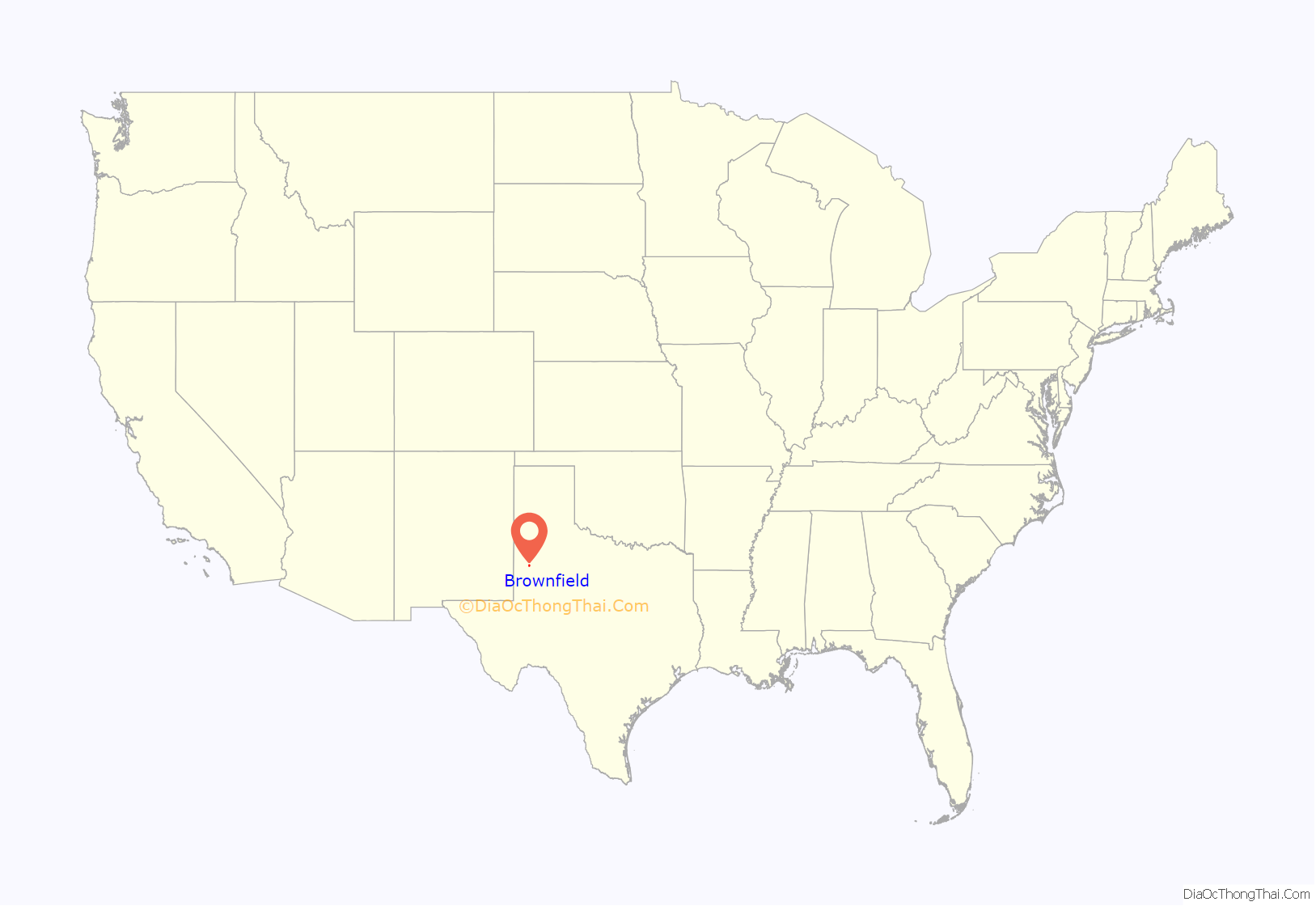
Brownfield location map. Where is Brownfield city?
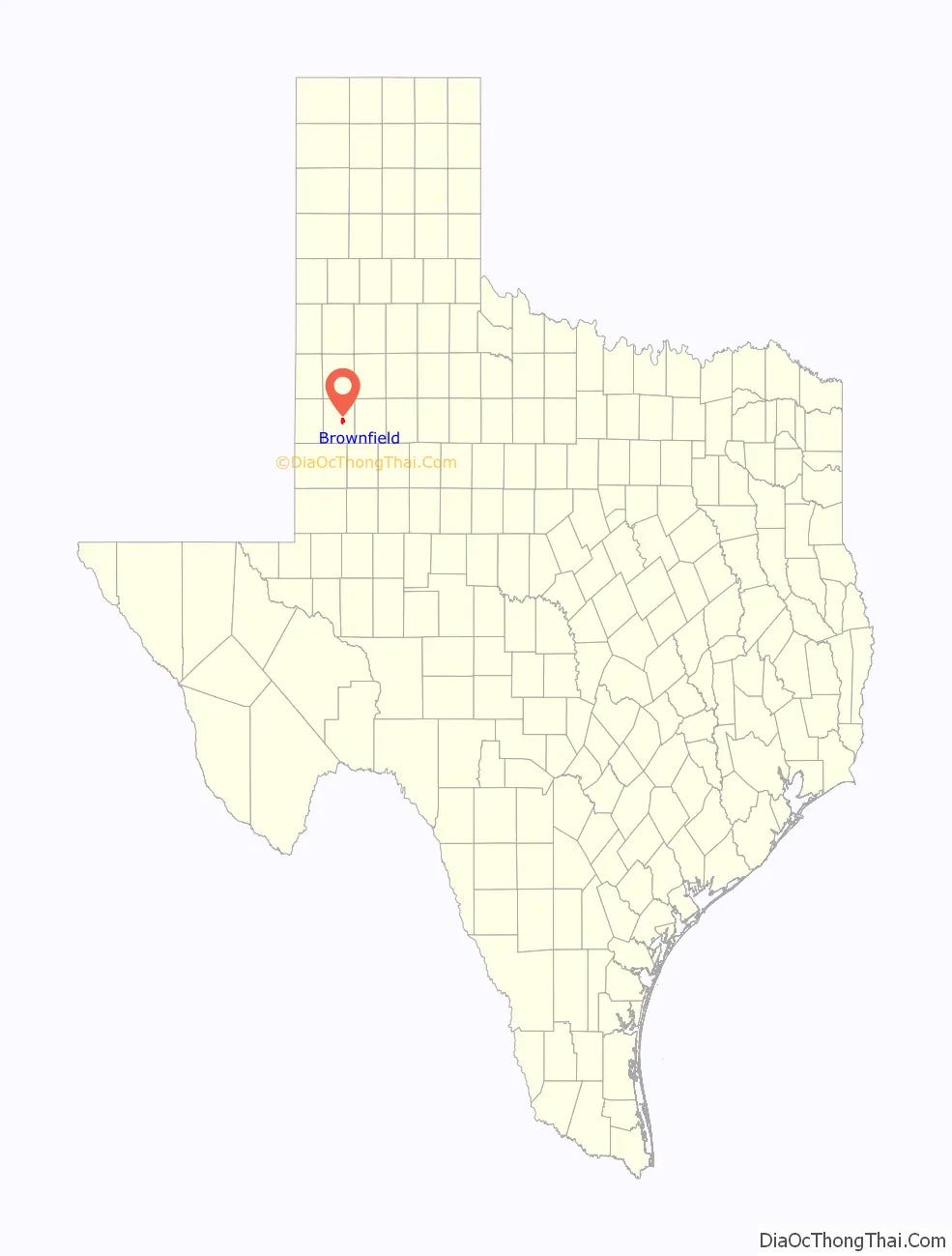
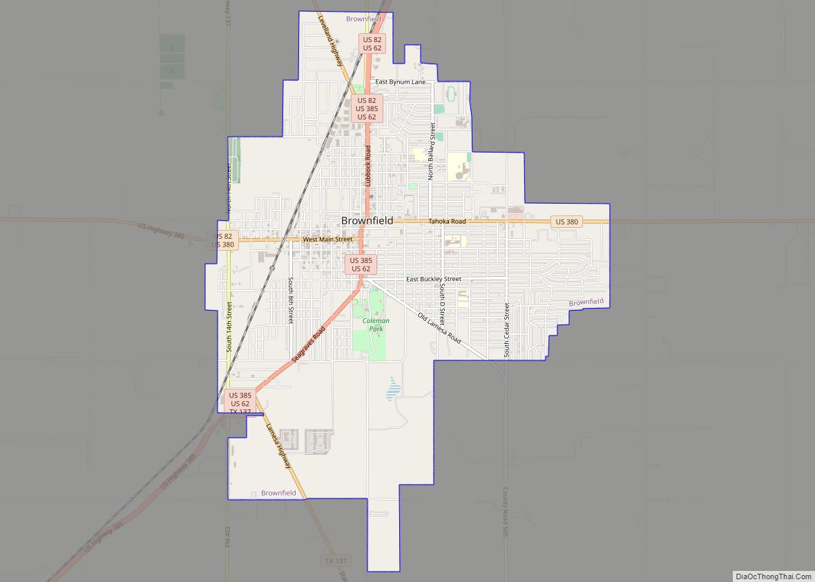
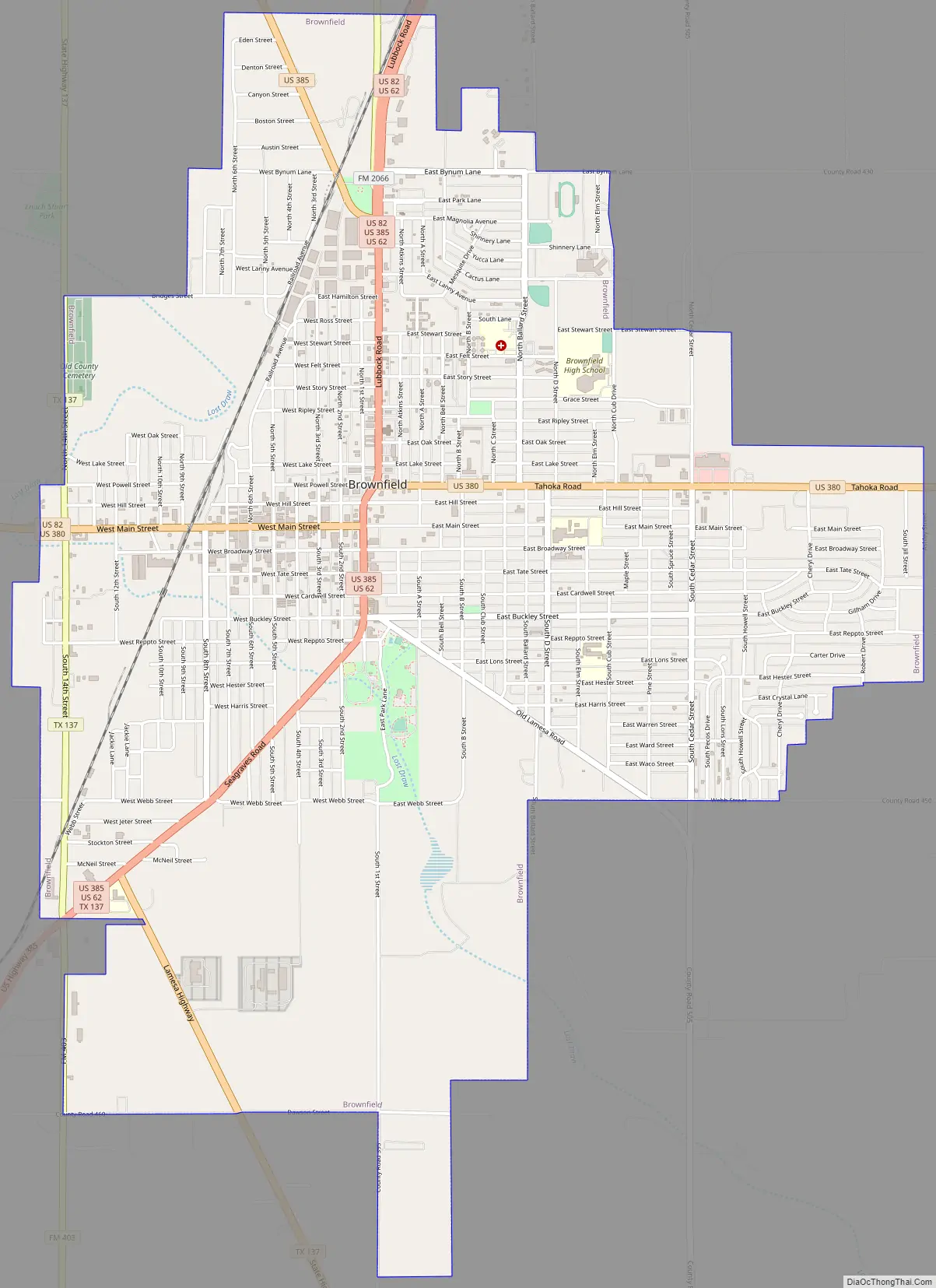
Brownfield Road Map
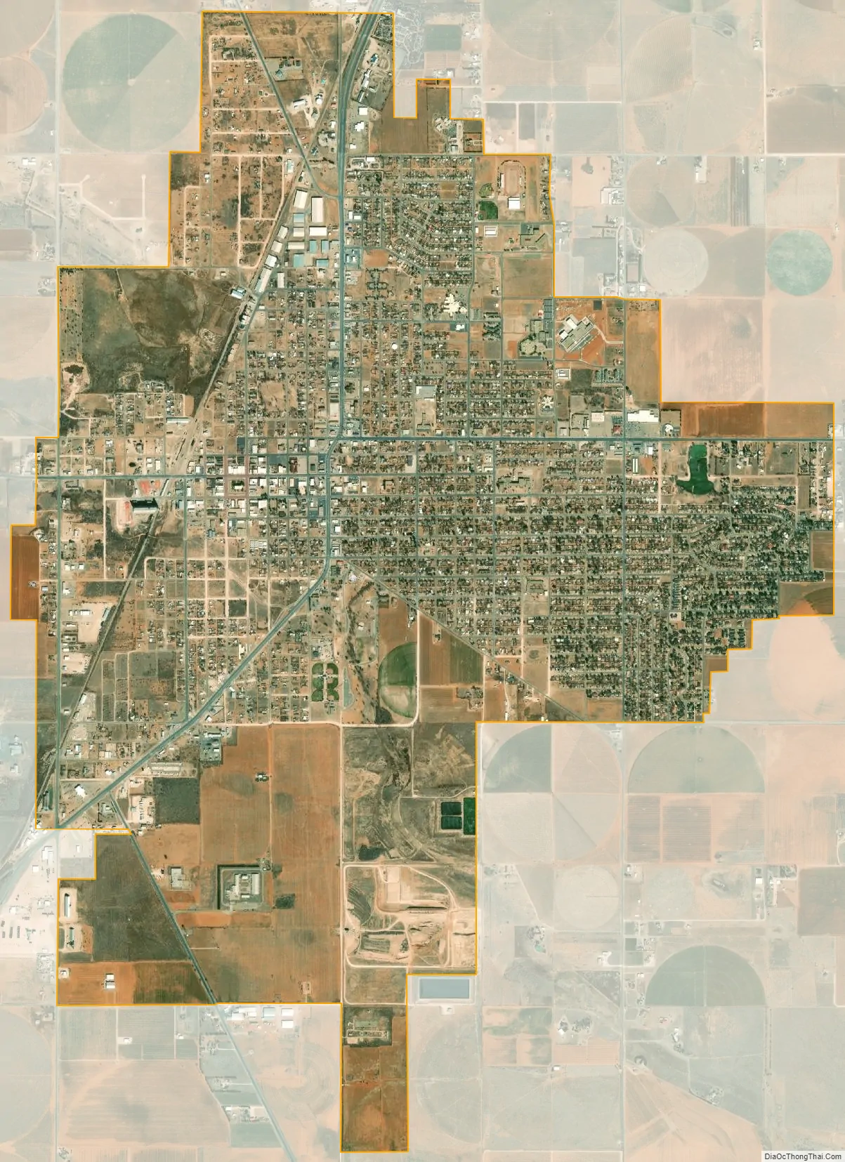
Brownfield city Satellite Map
Geography
According to the United States Census Bureau, Brownfield has an area of 6.3 sq mi (16 km), 0.32% of which is covered by water.
Brownfield lies in the center of Terry County, in the southern portion of the South Plains and Llano Estacado. The city rests on a windblown deposit called the Blackwater Draw Formation, which is underlain by a thick layer of caliche, referred to locally as the “caprock”. Beneath the caliche layer lies fluvial deposits called the Ogallala Formation, which contains a portion of the Ogallala Aquifer. The Caprock Escarpment, about 50 miles east, forms a precipitous drop of about 1,000 feet (305 m) and exposes various geologic layers. In early days, climbing the Caprock Escarpment was not easy for horse-drawn covered wagons.
The only terrain variation lies at the south end of the city, where Lost Draw carves a channel that runs across the entire county. Lost Draw formed over 10,000 years ago at the end of the last ice age, when the climate of the area was much wetter. When the vast glaciers of the north retreated, they left numerous dry river channels crisscrossing the Llano Estacado. When settlers during the 1800s ventured across this area, they often went into these channels expecting to find water, but unless significant rains had occurred recently, their search was in vain, with many of the parties becoming “lost”, hence the name, Lost Draw.
The most notable geographic feature of Brownfield is its red soil. The soil creates an almost iridescent red color during sunrise and sunset due to the high iron oxide content.
See also
Map of Texas State and its subdivision:- Anderson
- Andrews
- Angelina
- Aransas
- Archer
- Armstrong
- Atascosa
- Austin
- Bailey
- Bandera
- Bastrop
- Baylor
- Bee
- Bell
- Bexar
- Blanco
- Borden
- Bosque
- Bowie
- Brazoria
- Brazos
- Brewster
- Briscoe
- Brooks
- Brown
- Burleson
- Burnet
- Caldwell
- Calhoun
- Callahan
- Cameron
- Camp
- Carson
- Cass
- Castro
- Chambers
- Cherokee
- Childress
- Clay
- Cochran
- Coke
- Coleman
- Collin
- Collingsworth
- Colorado
- Comal
- Comanche
- Concho
- Cooke
- Coryell
- Cottle
- Crane
- Crockett
- Crosby
- Culberson
- Dallam
- Dallas
- Dawson
- Deaf Smith
- Delta
- Denton
- Dewitt
- Dickens
- Dimmit
- Donley
- Duval
- Eastland
- Ector
- Edwards
- El Paso
- Ellis
- Erath
- Falls
- Fannin
- Fayette
- Fisher
- Floyd
- Foard
- Fort Bend
- Franklin
- Freestone
- Frio
- Gaines
- Galveston
- Garza
- Gillespie
- Glasscock
- Goliad
- Gonzales
- Gray
- Grayson
- Gregg
- Grimes
- Guadalupe
- Hale
- Hall
- Hamilton
- Hansford
- Hardeman
- Hardin
- Harris
- Harrison
- Hartley
- Haskell
- Hays
- Hemphill
- Henderson
- Hidalgo
- Hill
- Hockley
- Hood
- Hopkins
- Houston
- Howard
- Hudspeth
- Hunt
- Hutchinson
- Irion
- Jack
- Jackson
- Jasper
- Jeff Davis
- Jefferson
- Jim Hogg
- Jim Wells
- Johnson
- Jones
- Karnes
- Kaufman
- Kendall
- Kenedy
- Kent
- Kerr
- Kimble
- King
- Kinney
- Kleberg
- Knox
- La Salle
- Lamar
- Lamb
- Lampasas
- Lavaca
- Lee
- Leon
- Liberty
- Limestone
- Lipscomb
- Live Oak
- Llano
- Loving
- Lubbock
- Lynn
- Madison
- Marion
- Martin
- Mason
- Matagorda
- Maverick
- McCulloch
- McLennan
- McMullen
- Medina
- Menard
- Midland
- Milam
- Mills
- Mitchell
- Montague
- Montgomery
- Moore
- Morris
- Motley
- Nacogdoches
- Navarro
- Newton
- Nolan
- Nueces
- Ochiltree
- Oldham
- Orange
- Palo Pinto
- Panola
- Parker
- Parmer
- Pecos
- Polk
- Potter
- Presidio
- Rains
- Randall
- Reagan
- Real
- Red River
- Reeves
- Refugio
- Roberts
- Robertson
- Rockwall
- Runnels
- Rusk
- Sabine
- San Augustine
- San Jacinto
- San Patricio
- San Saba
- Schleicher
- Scurry
- Shackelford
- Shelby
- Sherman
- Smith
- Somervell
- Starr
- Stephens
- Sterling
- Stonewall
- Sutton
- Swisher
- Tarrant
- Taylor
- Terrell
- Terry
- Throckmorton
- Titus
- Tom Green
- Travis
- Trinity
- Tyler
- Upshur
- Upton
- Uvalde
- Val Verde
- Van Zandt
- Victoria
- Walker
- Waller
- Ward
- Washington
- Webb
- Wharton
- Wheeler
- Wichita
- Wilbarger
- Willacy
- Williamson
- Wilson
- Winkler
- Wise
- Wood
- Yoakum
- Young
- Zapata
- Zavala
- Alabama
- Alaska
- Arizona
- Arkansas
- California
- Colorado
- Connecticut
- Delaware
- District of Columbia
- Florida
- Georgia
- Hawaii
- Idaho
- Illinois
- Indiana
- Iowa
- Kansas
- Kentucky
- Louisiana
- Maine
- Maryland
- Massachusetts
- Michigan
- Minnesota
- Mississippi
- Missouri
- Montana
- Nebraska
- Nevada
- New Hampshire
- New Jersey
- New Mexico
- New York
- North Carolina
- North Dakota
- Ohio
- Oklahoma
- Oregon
- Pennsylvania
- Rhode Island
- South Carolina
- South Dakota
- Tennessee
- Texas
- Utah
- Vermont
- Virginia
- Washington
- West Virginia
- Wisconsin
- Wyoming