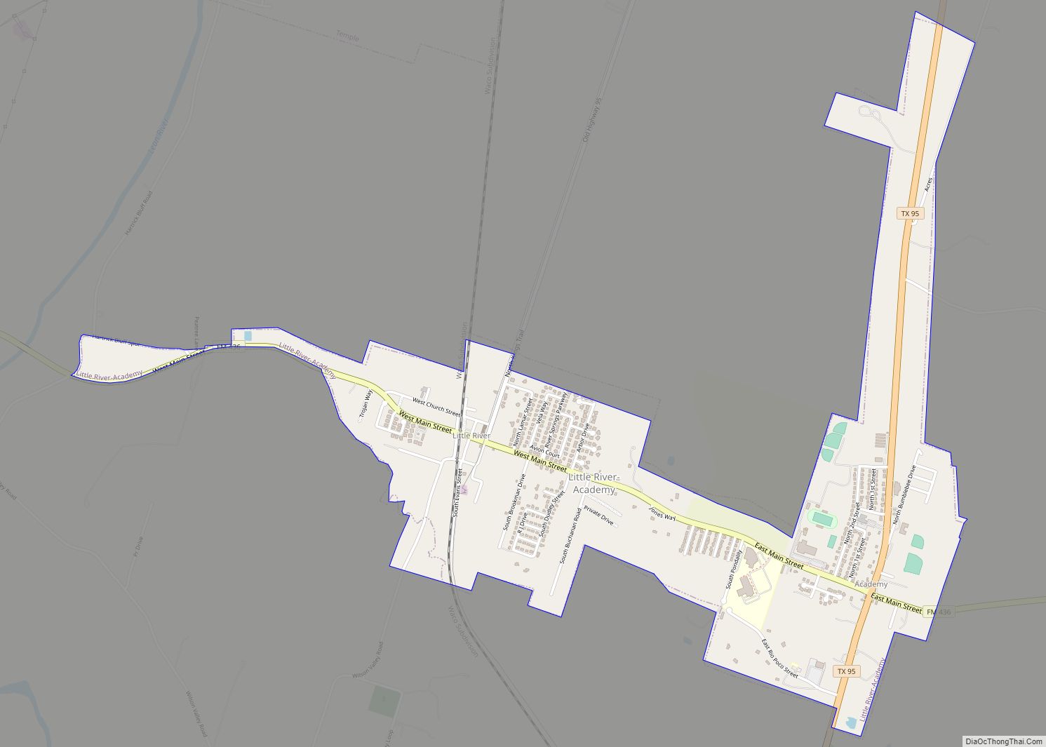
Little River-Academy is a city in Bell County, Texas, United States. The population was 1,992 at the 2020 census. It is part of the Killeen–Temple–Fort Hood Metropolitan Statistical Area. Little River-Academy city overview: Name: Little River-Academy city LSAD Code: 25 LSAD Description: city (suffix) State: Texas County: Bell County Elevation: 486 ft (148 m) Total Area: 1.92 sq mi ... Read more
Texas Cities and Places
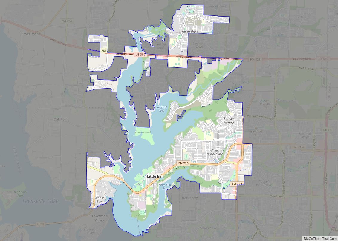
Little Elm is a city in Denton County, Texas, United States, and a part of the Dallas–Fort Worth metroplex. It is an extended suburb of Denton; its population was 46,453 as of the 2020 census. In 2000, the census population was at 3,646. By the 2010 census, the city total had jumped to 25,898, making ... Read more
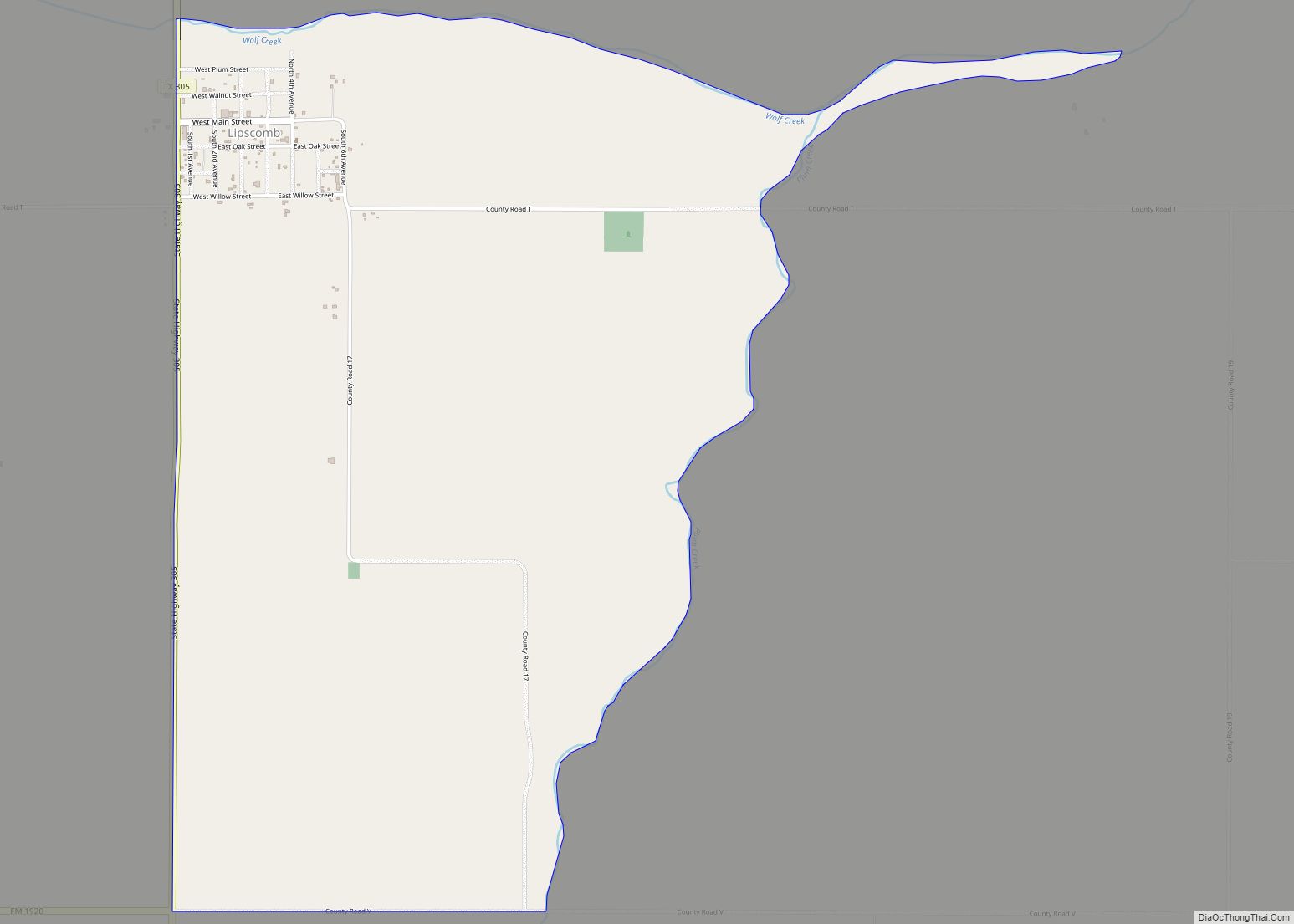
Lipscomb (/ˈlɪpskəm/ LIP-skəm) is an unincorporated community and census-designated place (CDP) in Lipscomb County, Texas, United States. It is the Lipscomb county seat. The population was 37 at the 2010 census. Lipscomb CDP overview: Name: Lipscomb CDP LSAD Code: 57 LSAD Description: CDP (suffix) State: Texas County: Lipscomb County Elevation: 2,392 ft (729 m) Total Area: 3.75 sq mi ... Read more
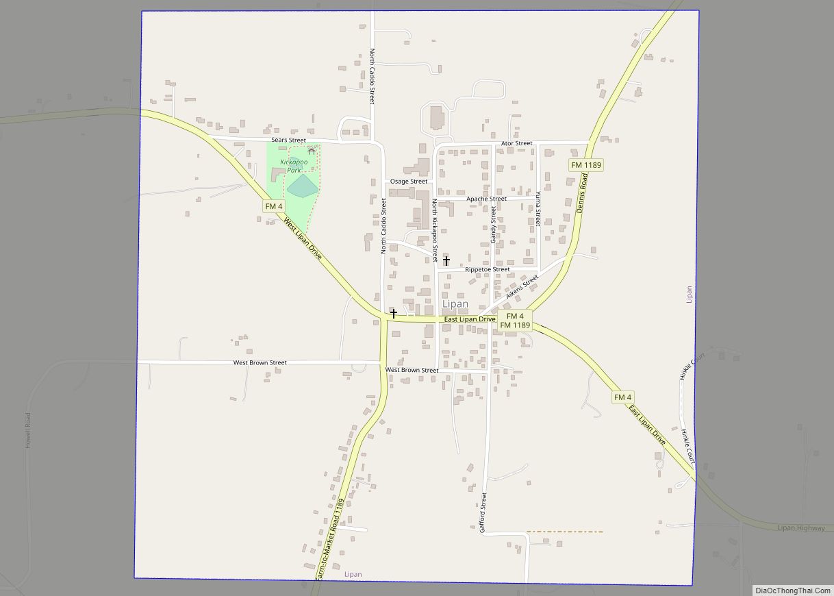
Lipan (/ˈlaɪpæn/ LY-pan) is a city in northwest Hood County, Texas, United States. The population was 430 at the 2010 census. It is part of the Granbury, Texas Micropolitan Statistical Area. Lipan city overview: Name: Lipan city LSAD Code: 25 LSAD Description: city (suffix) State: Texas County: Hood County Elevation: 919 ft (280 m) Total Area: 1.06 sq mi ... Read more
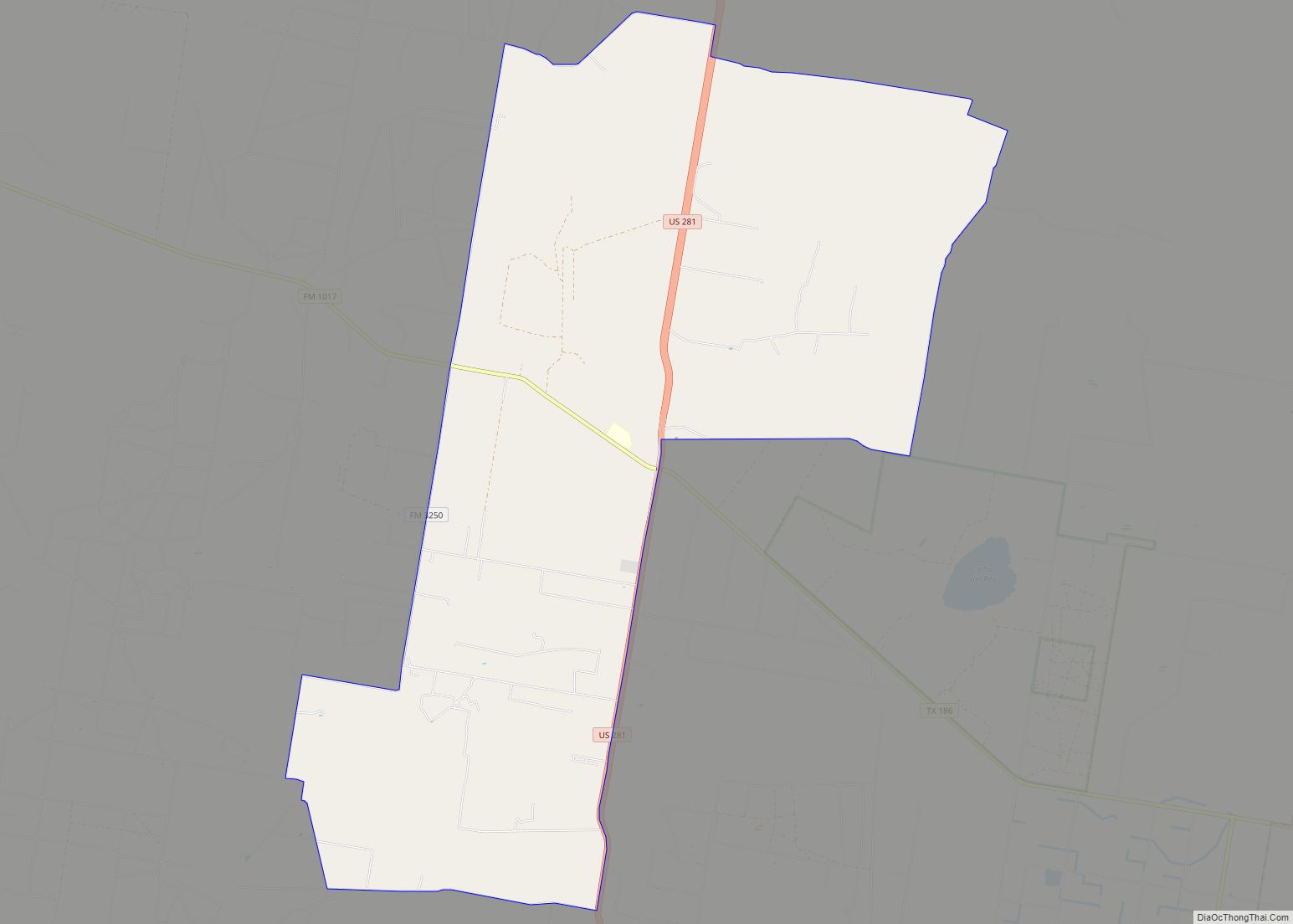
Linn, formerly San Manuel-Linn, is an unincorporated area and census-designated place (CDP) in Hidalgo County, Texas, United States. The population was 801 at the 2010 census, down from 958 at the 2000 census. It is part of the McAllen–Edinburg–Mission Metropolitan Statistical Area. Linn CDP overview: Name: Linn CDP LSAD Code: 57 LSAD Description: CDP (suffix) ... Read more
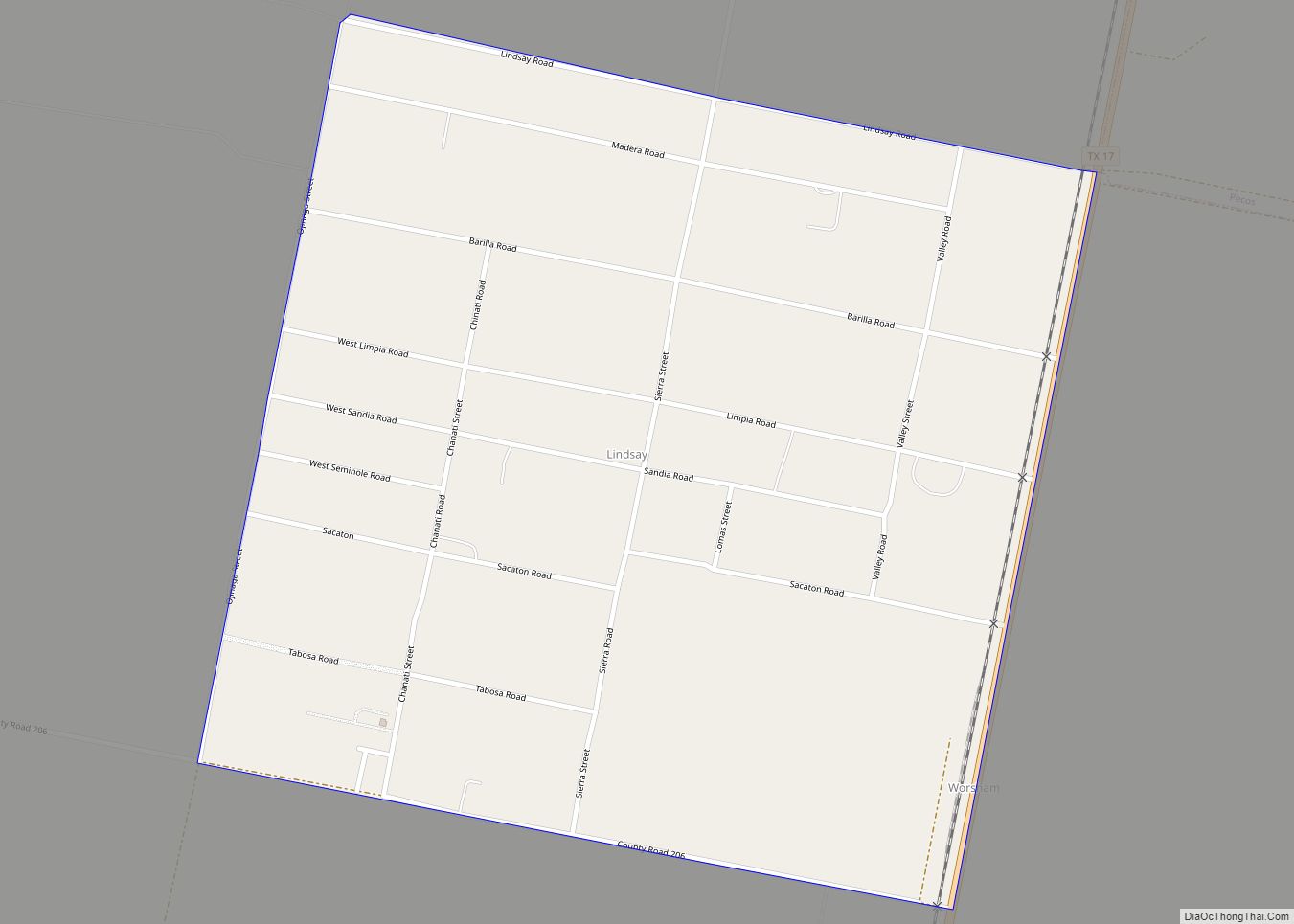
Lindsay is a census-designated place (CDP) in Reeves County, Texas, United States. The population was 271 at the 2010 census. Lindsay CDP overview: Name: Lindsay CDP LSAD Code: 57 LSAD Description: CDP (suffix) State: Texas County: Reeves County Total Area: 1.0 sq mi (3 km²) Land Area: 1.0 sq mi (3 km²) Water Area: 0.0 sq mi (0 km²) Total Population: 271 Population Density: ... Read more
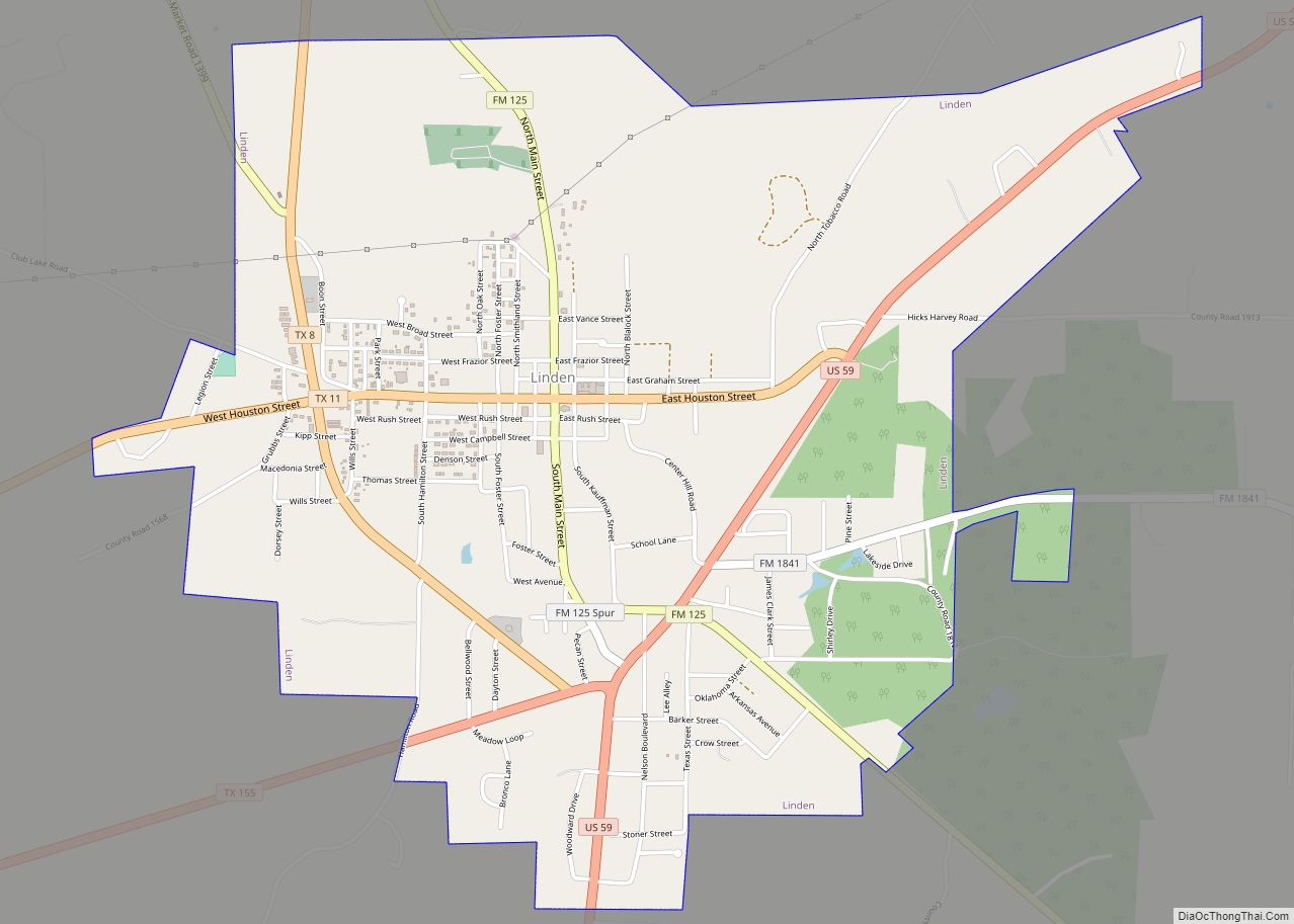
Linden is a city in and the county seat of Cass County, Texas, United States. At the 2020 United States census, its population was 1,825. Linden city overview: Name: Linden city LSAD Code: 25 LSAD Description: city (suffix) State: Texas County: Cass County Elevation: 381 ft (116 m) Total Area: 3.53 sq mi (9.14 km²) Land Area: 3.53 sq mi (9.14 km²) Water ... Read more
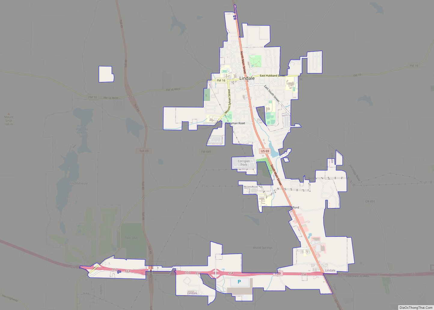
Lindale (/ˈlɪndeɪl/) is a city in Smith County, Texas, United States. Located in East Texas, the population was 6,059 in the 2020 census. It is part of the Tyler, Texas, metropolitan statistical area. Lindale city overview: Name: Lindale city LSAD Code: 25 LSAD Description: city (suffix) State: Texas County: Smith County Founded: 1871 Incorporated: 1905 ... Read more
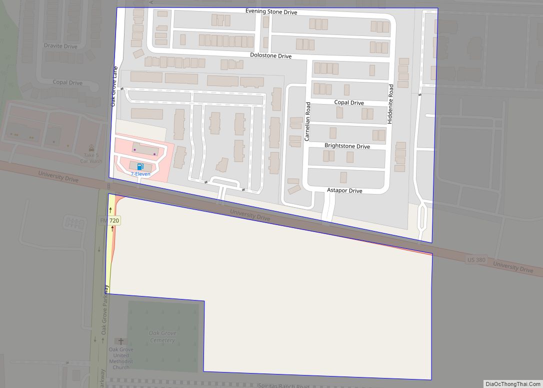
Lincoln Park town overview: Name: Lincoln Park town LSAD Code: 43 LSAD Description: town (suffix) State: Texas County: Denton County FIPS code: 4842808 Online Interactive Map Lincoln Park online map. Source: Basemap layers from Google Map, Open Street Map (OSM), Arcgisonline, Wmflabs. Boundary Data from Database of Global Administrative Areas. Lincoln Park location map. Where ... Read more
Liberty is a city in the U.S. state of Texas, within Liberty County. The population was 8,279 at the 2020 census. It serves as the seat of Liberty County. Liberty is the third oldest city in the state—established in 1831 on the banks of the Trinity River. The city also has a twin of the Liberty ... Read more
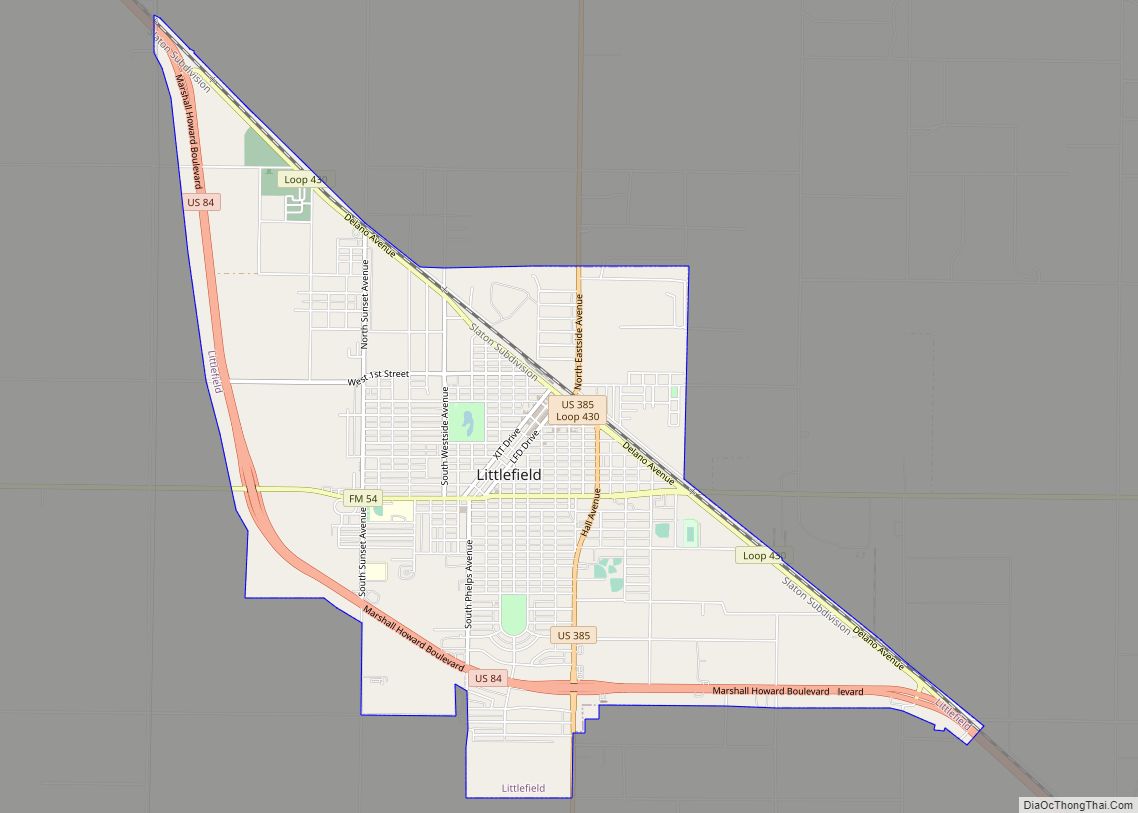
Littlefield is a city in and the county seat of Lamb County, Texas, United States. Its population was 6,372 at the 2010 census. It is located in a significant cotton-growing region, northwest of Lubbock on the Llano Estacado just south of the Texas Panhandle. Littlefield had a large denim-manufacturing plant operated by American Cotton Growers. ... Read more
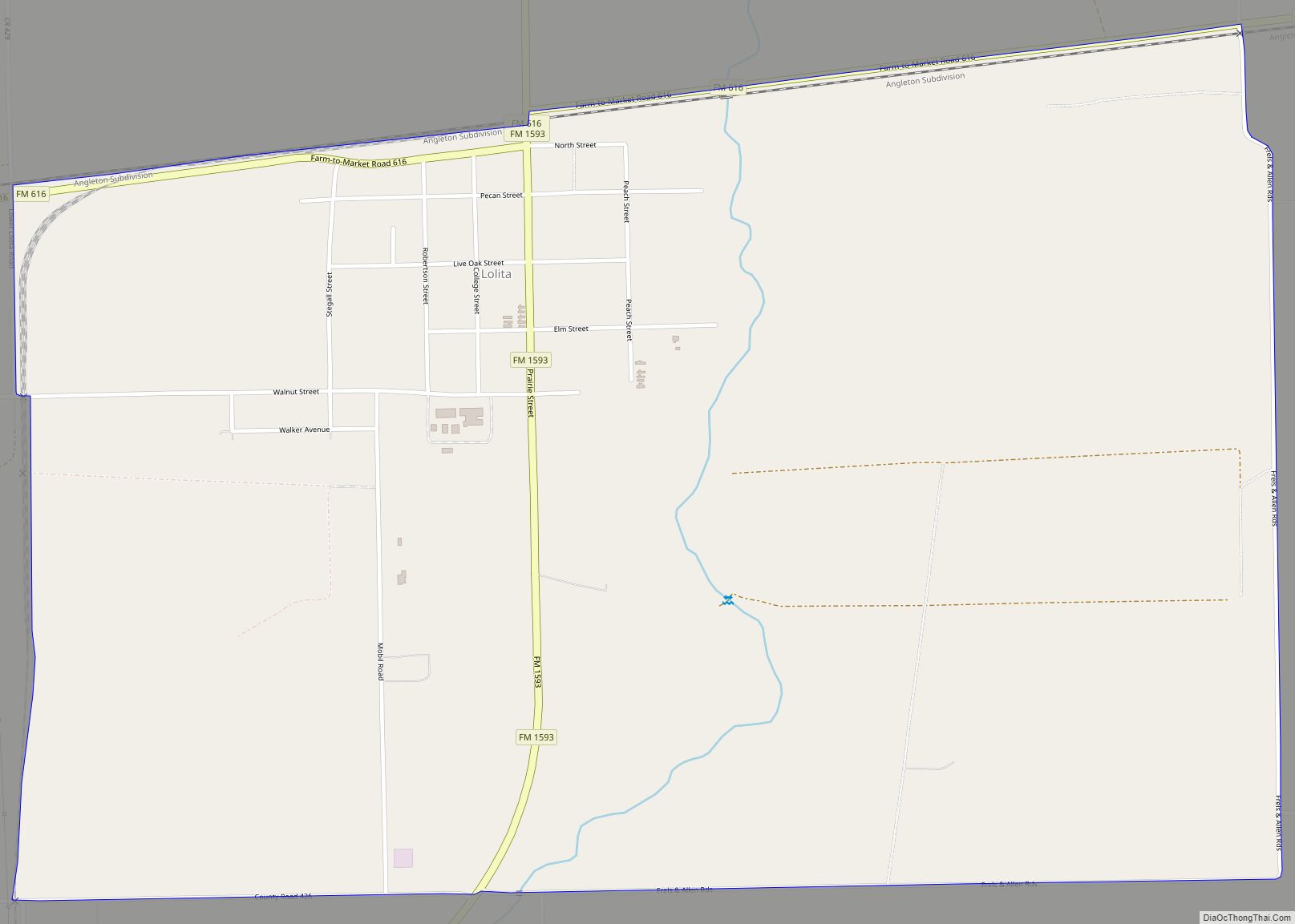
Lolita is a census-designated place (CDP) in Jackson County, Texas, United States. The population was 555 at the 2010 census. Lolita CDP overview: Name: Lolita CDP LSAD Code: 57 LSAD Description: CDP (suffix) State: Texas County: Jackson County Elevation: 39 ft (12 m) Total Area: 2.6 sq mi (6.7 km²) Land Area: 2.6 sq mi (6.7 km²) Water Area: 0.0 sq mi (0.0 km²) Total Population: ... Read more
