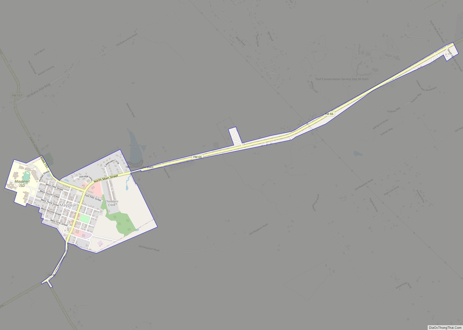
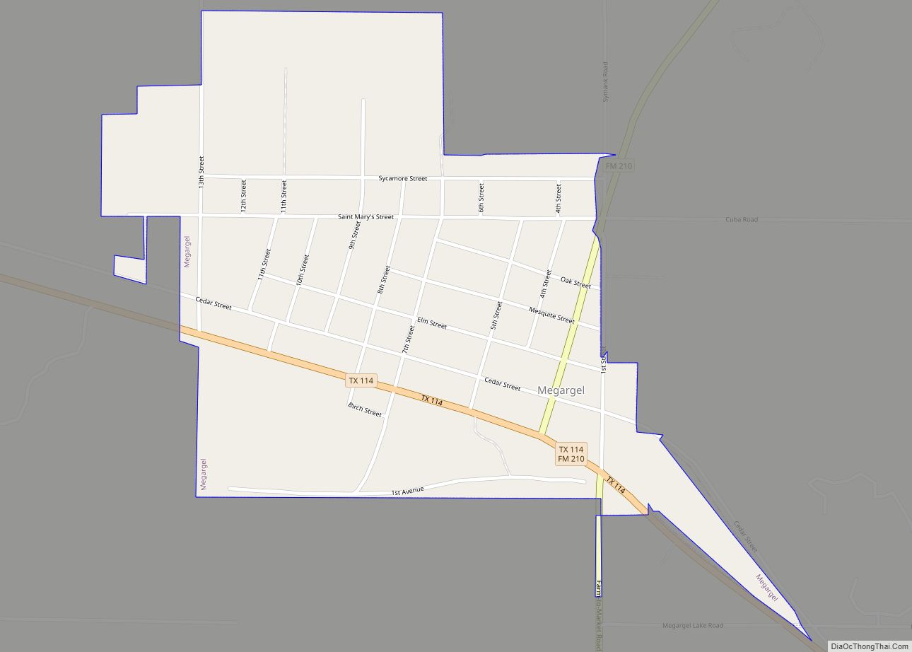
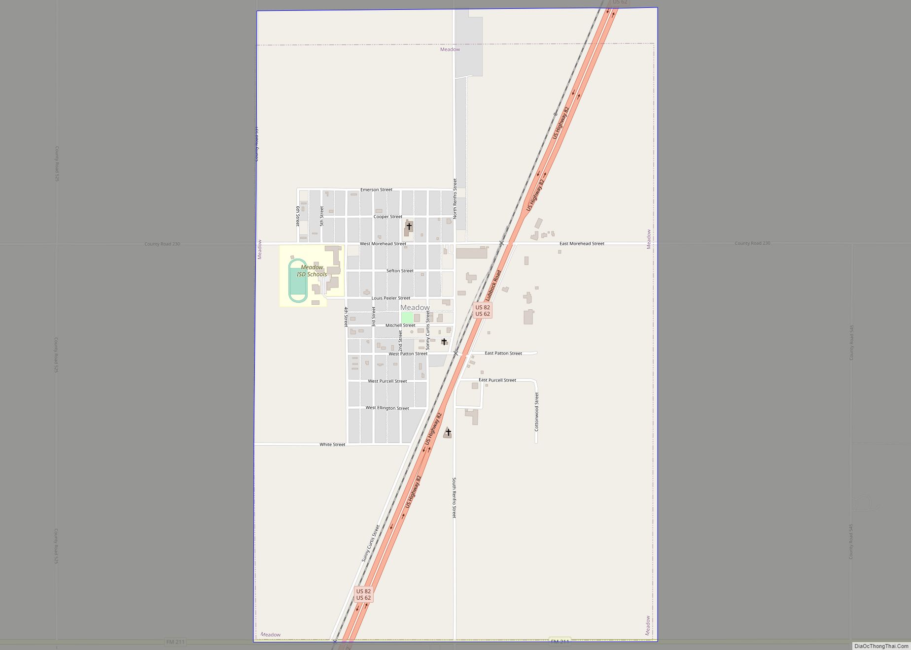
Map of Mason city, Texas
Mason is a city in, and the county seat of, Mason County, Texas, United States. The city is an agricultural community on Comanche Creek southwest of Mason Mountain, on the Edwards Plateau and part of the Llano Uplift. Its population was 2,114 at the 2010 census. Mason city overview: Name: Mason city LSAD Code: 25 ... Read more
Map of Mason city, Texas
Map of Martinez CDP, Texas
Martinez is a census-designated place (CDP) in Starr County, Texas, United States. This was a new CDP for the 2010 census with a population of 69. Martinez CDP overview: Name: Martinez CDP LSAD Code: 57 LSAD Description: CDP (suffix) State: Texas County: Starr County Total Area: 0.1 sq mi (0.3 km²) Land Area: 0.1 sq mi (0.3 km²) Water Area: 0.0 sq mi ... Read more
Map of Martinez CDP, Texas
Map of McDade CDP
McDade is an unincorporated community and census-designated place in northern Bastrop County, Texas, located along U.S. Route 290. As of the 2020 census, it had a population of 720. It is 9 miles (14 km) east of Elgin and 34 miles (55 km) east of Austin. It is 21 miles (34 km) west of Giddings. McDade CDP overview: ... Read more
Map of McDade CDP
Map of McCamey city
McCamey is a city in Upton County, Texas. Its population was 1,887 at the 2010 census. The Texas legislature has declared McCamey “the Wind Energy Capital of Texas” because of the many wind farms that have been built in the area. Its history, however, is primarily that of an oil boomtown. McCamey city overview: Name: ... Read more
Map of McCamey city
Map of Megargel town, Texas
Megargel (/ˈmiːɡɑːrɡəl/ MEE-gar-gəl) is a town in Archer County, Texas, United States. It is part of the Wichita Falls, Texas metropolitan statistical area. Its population was 203 at the 2010 census. The town is named for Roy C. Megargel, the president of the railroad that developed the town. Megargel town overview: Name: Megargel town LSAD ... Read more
Map of Megargel town, Texas
Map of Medina CDP, Texas
Medina is a census-designated place (CDP) in Zapata County, Texas, United States. The population was 3,935 at the 2010 census. Medina CDP overview: Name: Medina CDP LSAD Code: 57 LSAD Description: CDP (suffix) State: Texas County: Zapata County Elevation: 397 ft (121 m) Total Area: 1.8 sq mi (4.6 km²) Land Area: 1.8 sq mi (4.6 km²) Water Area: 0.0 sq mi (0.0 km²) Total Population: ... Read more
Map of Medina CDP, Texas
Map of Meadows Place city
Meadows Place is a city located in Fort Bend County in the U.S. state of Texas within the Houston–Sugar Land–Baytown metropolitan area. As of the 2020 U.S. Census, the city population was 4,767. Meadows Place was part of Stafford‘s extraterritorial jurisdiction prior to incorporation on November 14, 1983. Meadows Place was incorporated as Meadows, but ... Read more
Map of Meadows Place city
Map of Meadowlakes city
Meadowlakes is a city in Burnet County, Texas, United States. The population was 1,777 at the 2010 census. Meadowlakes city overview: Name: Meadowlakes city LSAD Code: 25 LSAD Description: city (suffix) State: Texas County: Burnet County Elevation: 804 ft (245 m) Total Area: 0.78 sq mi (2.01 km²) Land Area: 0.76 sq mi (1.97 km²) Water Area: 0.02 sq mi (0.04 km²) Total Population: 1,777 Population ... Read more
Map of Meadowlakes city
Map of Meadow town, Texas
Meadow is a town in Terry County, Texas, United States. The population was 593 at the 2010 census. Meadow town overview: Name: Meadow town LSAD Code: 43 LSAD Description: town (suffix) State: Texas County: Terry County Elevation: 3,333 ft (1,016 m) Total Area: 1.61 sq mi (4.16 km²) Land Area: 1.61 sq mi (4.16 km²) Water Area: 0.00 sq mi (0.00 km²) Total Population: 593 Population ... Read more
Map of Meadow town, Texas
Map of McQueeney CDP
McQueeney is an unincorporated community and census-designated place (CDP) in Guadalupe County, Texas, United States. The population was 2,545 at the 2010 census. It is part of the San Antonio Metropolitan Statistical Area. McQueeney CDP overview: Name: McQueeney CDP LSAD Code: 57 LSAD Description: CDP (suffix) State: Texas County: Guadalupe County Elevation: 548 ft (167 m) Total ... Read more
Map of McQueeney CDP
Map of McLendon-Chisholm city
McLendon-Chisholm is a city in Rockwall County, Texas, United States. The population was 1,373 at the 2010 census. McLendon-Chisholm city overview: Name: McLendon-Chisholm city LSAD Code: 25 LSAD Description: city (suffix) State: Texas County: Rockwall County Elevation: 502 ft (153 m) Total Area: 12.81 sq mi (33.18 km²) Land Area: 12.50 sq mi (32.38 km²) Water Area: 0.31 sq mi (0.80 km²)  0.90% Total Population: 3,562 ... Read more
Map of McLendon-Chisholm city
Map of McLean town, Texas
McLean is a town in Gray County, Texas, United States. It is part of the Pampa micropolitan statistical area. Its population was 778 as of the 2010 census. McLean town overview: Name: McLean town LSAD Code: 43 LSAD Description: town (suffix) State: Texas County: Gray County Elevation: 2,861 ft (872 m) Total Area: 1.16 sq mi (3.00 km²) Land Area: ... Read more
Map of McLean town, Texas