Meadows Place is a city located in Fort Bend County in the U.S. state of Texas within the Houston–Sugar Land–Baytown metropolitan area. As of the 2020 U.S. Census, the city population was 4,767.
Meadows Place was part of Stafford‘s extraterritorial jurisdiction prior to incorporation on November 14, 1983. Meadows Place was incorporated as Meadows, but this was changed to “Meadows Place” in 1997 due to postal conflicts with a city of a similar name, Meadow, Texas. The city of Meadows Place has its own police force and 24/7 fire and EMS protection. The current mayor is Charles Jessup.
Meadows Place shares a ZIP code (77477) with Stafford, Texas, and the post office is in Stafford, but postal addresses in Meadows Place are designated as “Meadows Place, Texas”.
| Name: | Meadows Place city |
|---|---|
| LSAD Code: | 25 |
| LSAD Description: | city (suffix) |
| State: | Texas |
| County: | Fort Bend County |
| Incorporated: | November 14, 1983 (1983-11-14) |
| Total Area: | 0.93 sq mi (2.42 km²) |
| Land Area: | 0.93 sq mi (2.42 km²) |
| Water Area: | 0.00 sq mi (0.00 km²) |
| Total Population: | 4,767 |
| Population Density: | 4,920.69/sq mi (1,899.30/km²) |
| FIPS code: | 4847337 |
| Website: | www.cityofmeadowsplace.org |
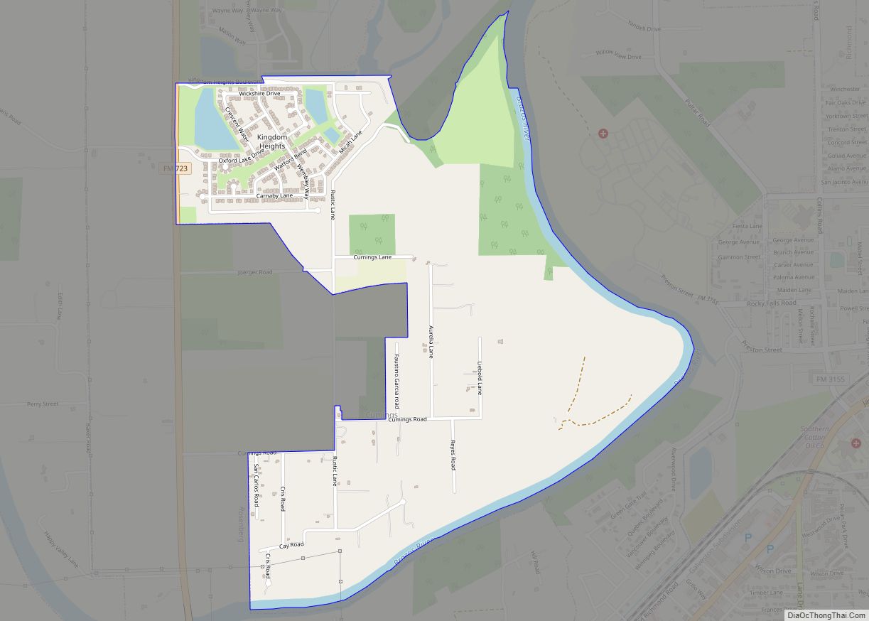
Online Interactive Map
Click on ![]() to view map in "full screen" mode.
to view map in "full screen" mode.
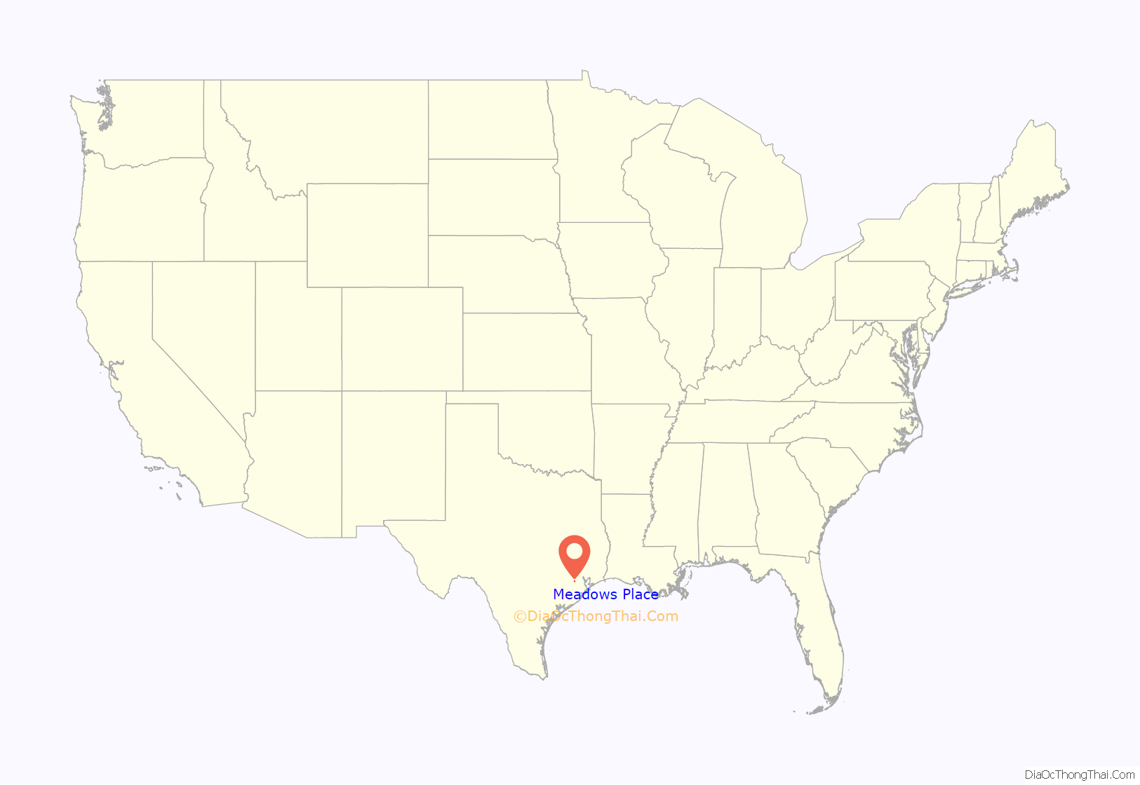
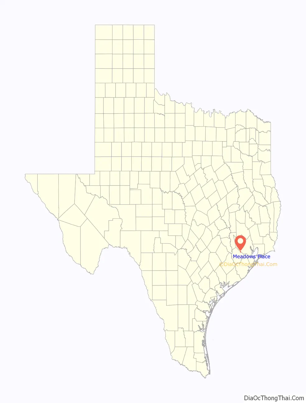
Meadows Place location map. Where is Meadows Place city?
History
Meadows Place began as the Meadows Municipal Utility District, which had been established in 1967.The Meadows Place development farmland was purchased by Ayrshire Corporation. In 1968 the first houses were constructed by Ayrshire Corporation, a second-generation family-owned company founded in 1946. Ayrshire has developed mix use property throughout the United States and Australia. The Meadows place development is representative of their development capabilities. Meadows incorporated on November 14, 1983, to avoid being annexed by Houston. In 1990 the city had 4,606 residents. The population in 2010 was listed as 4,660 residents. In June 2012, Meadows Place received an award from Keep Texas Beautiful for a water reuse project that culminated in a beautiful new lake in the center of the city which, in addition to recreation, is used for irrigation of most of the city’s parks land and baseball complex. So dramatic was the transformation, Meadows Place was asked to make a poster presentation at the 28th annual Water ReUse Symposium in Denver, Colorado. The presentation—”No City is Too Small to Receive Benefits from Water Reuse”—met with such acclaim they were invited to share their story at an international water convention. Hundreds of people from the US, Canada, Mexico, even Sweden and Norway, have come to see how a small city with limited resources could bring such a project to fruition.
In 2013 Meadows Place became the first city in Fort Bend County to fully convert to radio-read “Smart” water meters which send data directly from the consumer’s yard to meter reading software housed in the utility department. This allows the city to help homeowners monitor usage on a 24-hour-a-day basis and automatically posts alerts for possible leaks based on past usage history. Homeowners appreciate the accuracy and the information.
Meadows Place is the smallest city in Texas with its own dedicated police department, fire station, and EMS.
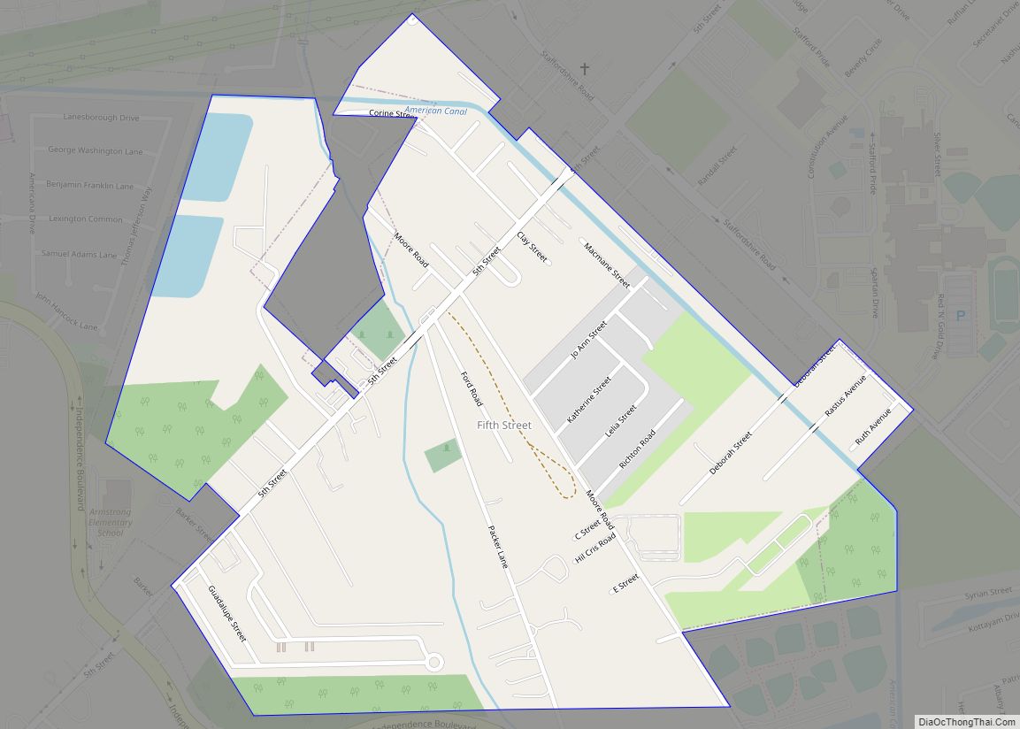
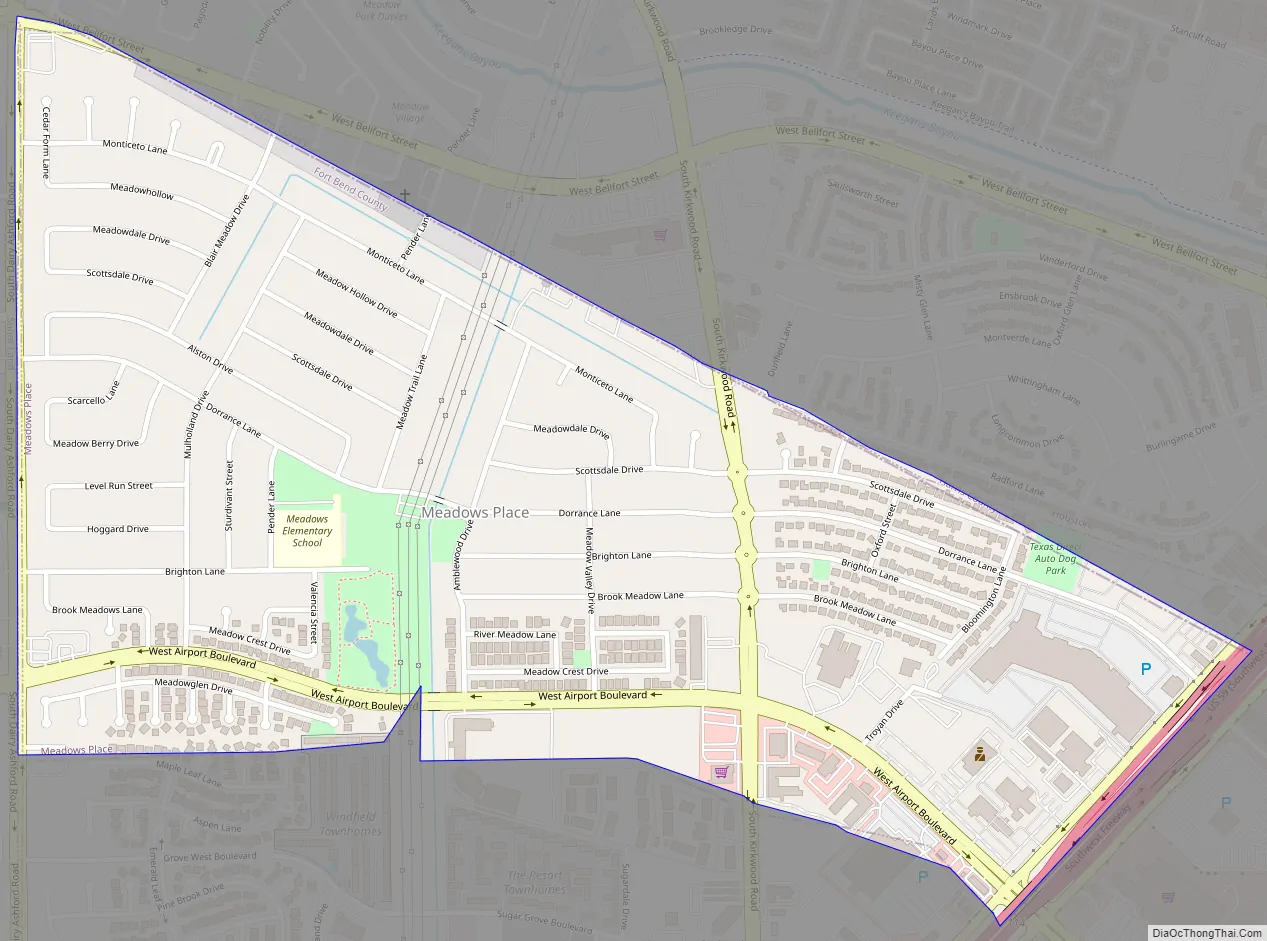
Meadows Place Road Map
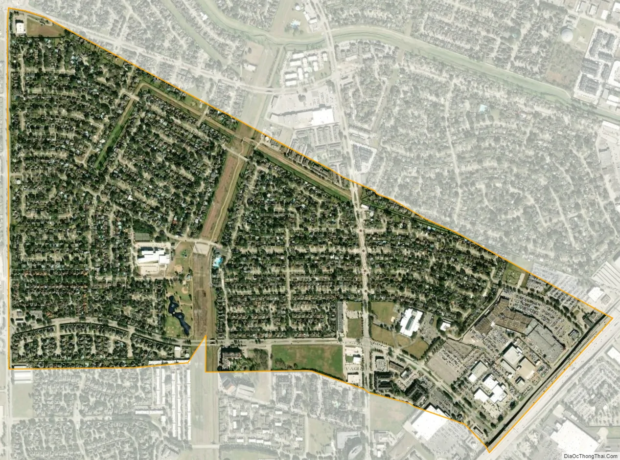
Meadows Place city Satellite Map
Geography
Meadows Place is located along the northeast border of Fort Bend County at 29°38′59″N 95°35′19″W / 29.64972°N 95.58861°W / 29.64972; -95.58861 (29.649599, –95.588747). It is bordered by the city of Sugar Land to the west, Stafford to the south, and Houston to the northeast in Harris County. Downtown Houston is 16 miles (26 km) to the northeast via Interstate 69, the Southwest Freeway.
According to the United States Census Bureau, the city has a total area of 0.9 square miles (2.3 km), all of it land.
The city is located between West Bellfort Avenue, U.S. Route 59/I-69, Dairy Ashford Road, and West Airport Boulevard. Meadows Place is 1 mile (1.6 km) southwest of Houston’s Beltway 8.
See also
Map of Texas State and its subdivision:- Anderson
- Andrews
- Angelina
- Aransas
- Archer
- Armstrong
- Atascosa
- Austin
- Bailey
- Bandera
- Bastrop
- Baylor
- Bee
- Bell
- Bexar
- Blanco
- Borden
- Bosque
- Bowie
- Brazoria
- Brazos
- Brewster
- Briscoe
- Brooks
- Brown
- Burleson
- Burnet
- Caldwell
- Calhoun
- Callahan
- Cameron
- Camp
- Carson
- Cass
- Castro
- Chambers
- Cherokee
- Childress
- Clay
- Cochran
- Coke
- Coleman
- Collin
- Collingsworth
- Colorado
- Comal
- Comanche
- Concho
- Cooke
- Coryell
- Cottle
- Crane
- Crockett
- Crosby
- Culberson
- Dallam
- Dallas
- Dawson
- Deaf Smith
- Delta
- Denton
- Dewitt
- Dickens
- Dimmit
- Donley
- Duval
- Eastland
- Ector
- Edwards
- El Paso
- Ellis
- Erath
- Falls
- Fannin
- Fayette
- Fisher
- Floyd
- Foard
- Fort Bend
- Franklin
- Freestone
- Frio
- Gaines
- Galveston
- Garza
- Gillespie
- Glasscock
- Goliad
- Gonzales
- Gray
- Grayson
- Gregg
- Grimes
- Guadalupe
- Hale
- Hall
- Hamilton
- Hansford
- Hardeman
- Hardin
- Harris
- Harrison
- Hartley
- Haskell
- Hays
- Hemphill
- Henderson
- Hidalgo
- Hill
- Hockley
- Hood
- Hopkins
- Houston
- Howard
- Hudspeth
- Hunt
- Hutchinson
- Irion
- Jack
- Jackson
- Jasper
- Jeff Davis
- Jefferson
- Jim Hogg
- Jim Wells
- Johnson
- Jones
- Karnes
- Kaufman
- Kendall
- Kenedy
- Kent
- Kerr
- Kimble
- King
- Kinney
- Kleberg
- Knox
- La Salle
- Lamar
- Lamb
- Lampasas
- Lavaca
- Lee
- Leon
- Liberty
- Limestone
- Lipscomb
- Live Oak
- Llano
- Loving
- Lubbock
- Lynn
- Madison
- Marion
- Martin
- Mason
- Matagorda
- Maverick
- McCulloch
- McLennan
- McMullen
- Medina
- Menard
- Midland
- Milam
- Mills
- Mitchell
- Montague
- Montgomery
- Moore
- Morris
- Motley
- Nacogdoches
- Navarro
- Newton
- Nolan
- Nueces
- Ochiltree
- Oldham
- Orange
- Palo Pinto
- Panola
- Parker
- Parmer
- Pecos
- Polk
- Potter
- Presidio
- Rains
- Randall
- Reagan
- Real
- Red River
- Reeves
- Refugio
- Roberts
- Robertson
- Rockwall
- Runnels
- Rusk
- Sabine
- San Augustine
- San Jacinto
- San Patricio
- San Saba
- Schleicher
- Scurry
- Shackelford
- Shelby
- Sherman
- Smith
- Somervell
- Starr
- Stephens
- Sterling
- Stonewall
- Sutton
- Swisher
- Tarrant
- Taylor
- Terrell
- Terry
- Throckmorton
- Titus
- Tom Green
- Travis
- Trinity
- Tyler
- Upshur
- Upton
- Uvalde
- Val Verde
- Van Zandt
- Victoria
- Walker
- Waller
- Ward
- Washington
- Webb
- Wharton
- Wheeler
- Wichita
- Wilbarger
- Willacy
- Williamson
- Wilson
- Winkler
- Wise
- Wood
- Yoakum
- Young
- Zapata
- Zavala
- Alabama
- Alaska
- Arizona
- Arkansas
- California
- Colorado
- Connecticut
- Delaware
- District of Columbia
- Florida
- Georgia
- Hawaii
- Idaho
- Illinois
- Indiana
- Iowa
- Kansas
- Kentucky
- Louisiana
- Maine
- Maryland
- Massachusetts
- Michigan
- Minnesota
- Mississippi
- Missouri
- Montana
- Nebraska
- Nevada
- New Hampshire
- New Jersey
- New Mexico
- New York
- North Carolina
- North Dakota
- Ohio
- Oklahoma
- Oregon
- Pennsylvania
- Rhode Island
- South Carolina
- South Dakota
- Tennessee
- Texas
- Utah
- Vermont
- Virginia
- Washington
- West Virginia
- Wisconsin
- Wyoming