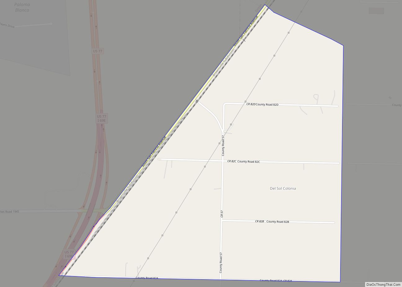
Mathis is a city in San Patricio County, Texas, United States. The population was 4,942 at the 2010 census.
| Name: | Mathis city |
|---|---|
| LSAD Code: | 25 |
| LSAD Description: | city (suffix) |
| State: | Texas |
| County: | San Patricio County |
| Elevation: | 161 ft (49 m) |
| Total Area: | 3.32 sq mi (8.59 km²) |
| Land Area: | 3.32 sq mi (8.59 km²) |
| Water Area: | 0.00 sq mi (0.00 km²) |
| Total Population: | 4,942 |
| Population Density: | 1,421.89/sq mi (548.97/km²) |
| ZIP code: | 78368 |
| Area code: | 361 |
| FIPS code: | 4847040 |
| GNISfeature ID: | 1341072 |
| Website: | www.cityofmathis.com |
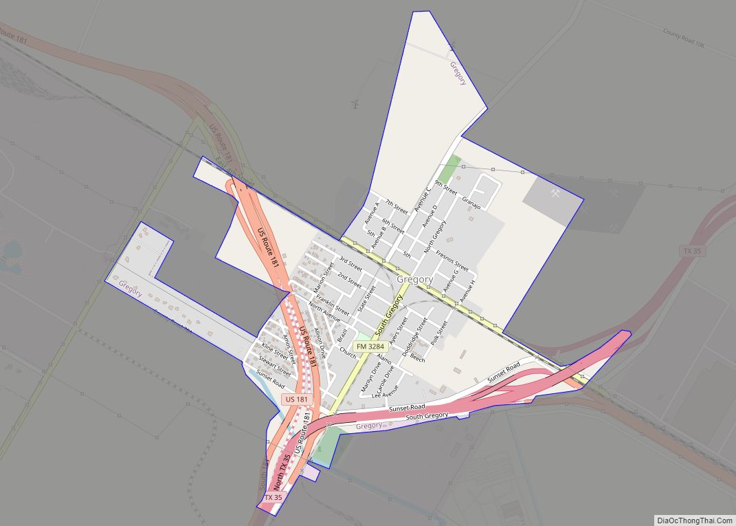
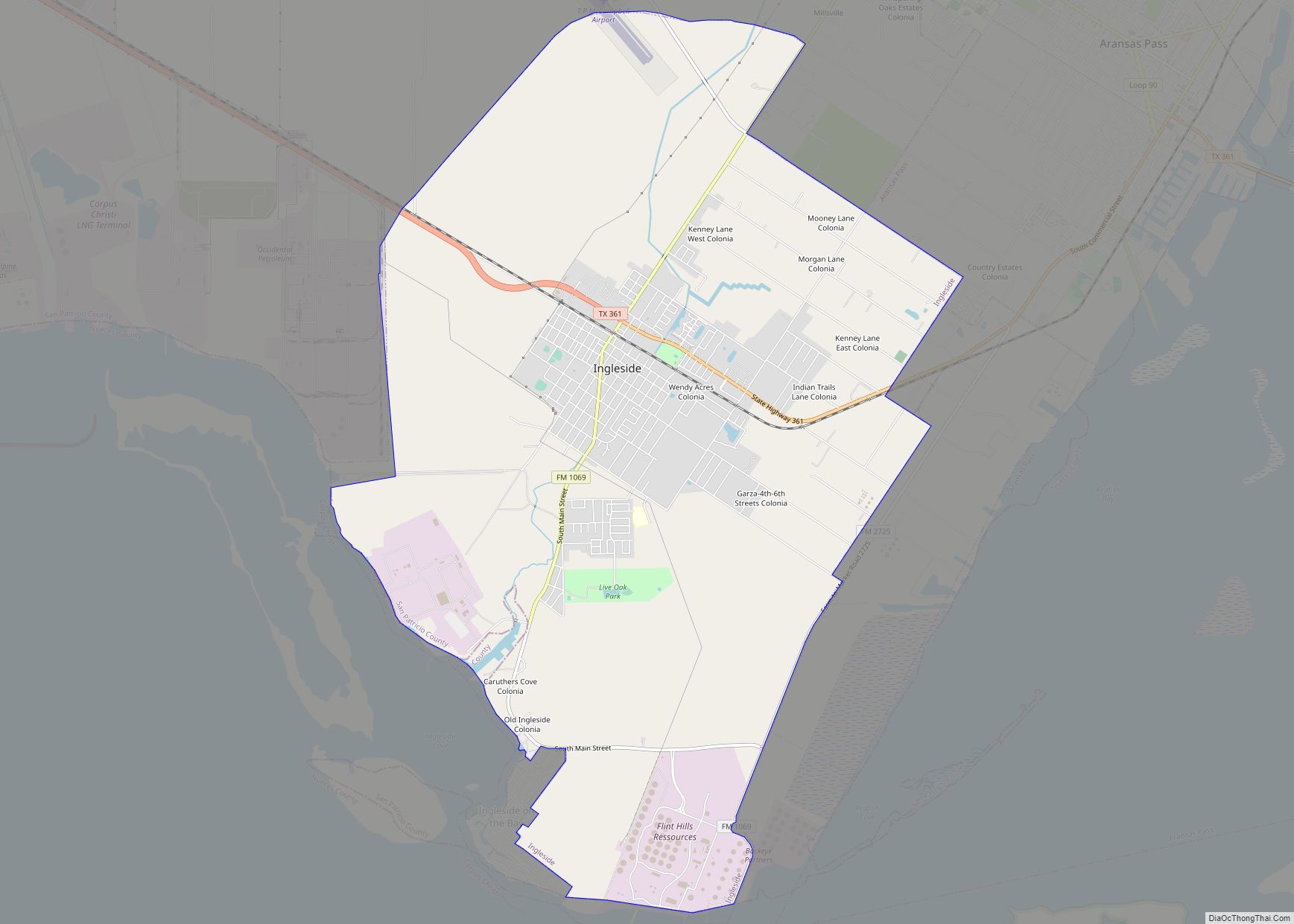
Online Interactive Map
Click on ![]() to view map in "full screen" mode.
to view map in "full screen" mode.
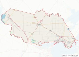
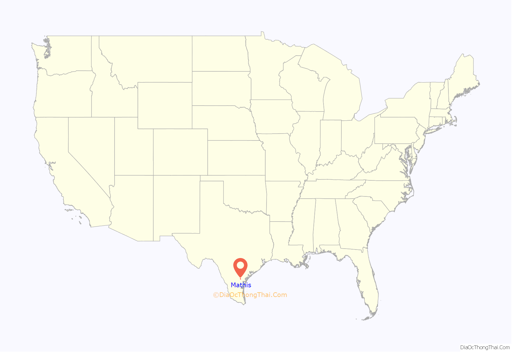
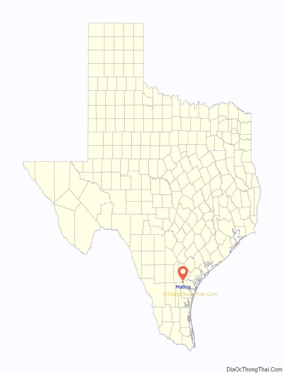
Mathis location map. Where is Mathis city?
History
In 1887, when the San Antonio and Aransas Pass Railroad was laying tracks across San Patricio County, Thomas H. Mathis received naming rights when he donated 300 acres (1.2 km) for a townsite and school. Mathis and his brother J. M. Mathis, held 37,000 acres (150 km) in the vicinity. The brothers had dropped out of the Coleman, Mathis, Fulton Cattle Company in 1879. Thomas Mathis owned an additional 60,000 acres (240 km) around Mathis and built a fence enclosing the town. As late as 1906, Mathis was enclosed and arriving and departing trains had to be let in and out.
Mathis’ success was partially fueled by residents of Lagarto moving to be near the railroad. The Mathis post office opened in 1890 and the town’s first school was held in a private residence in 1893. Two years later, a one-room school was built, and in 1913, a second railroad (the San Antonio, Uvalde and Gulf Pacific) arrived.
Cotton and corn crops were raised and ranching was an important part of the economy. During the 1930s, winter vegetable crops were grown and both railroads maintained shipping sheds. Mathis incorporated in 1939.
In the early 1950s, 7,000 acres (28 km) of land two miles (3 km) north of town were developed for vegetable crops—complete with irrigation and deep-water wells. Cotton, corn, and sorghum replaced vegetables in the 1960s.
In the 1930s, the Nueces River was dammed and Lake Mathis (since renamed Lake Corpus Christi) was formed. Construction of the Wesley Seale Dam in the late 1950s raised the level of the lake to where it became desirable for weekend homes.
In 1988, Mathis had a population of 5,910 which has since decreased to 5,034. The game mode “Longshot” in Madden 18 and 19 is set primarily in Mathis.
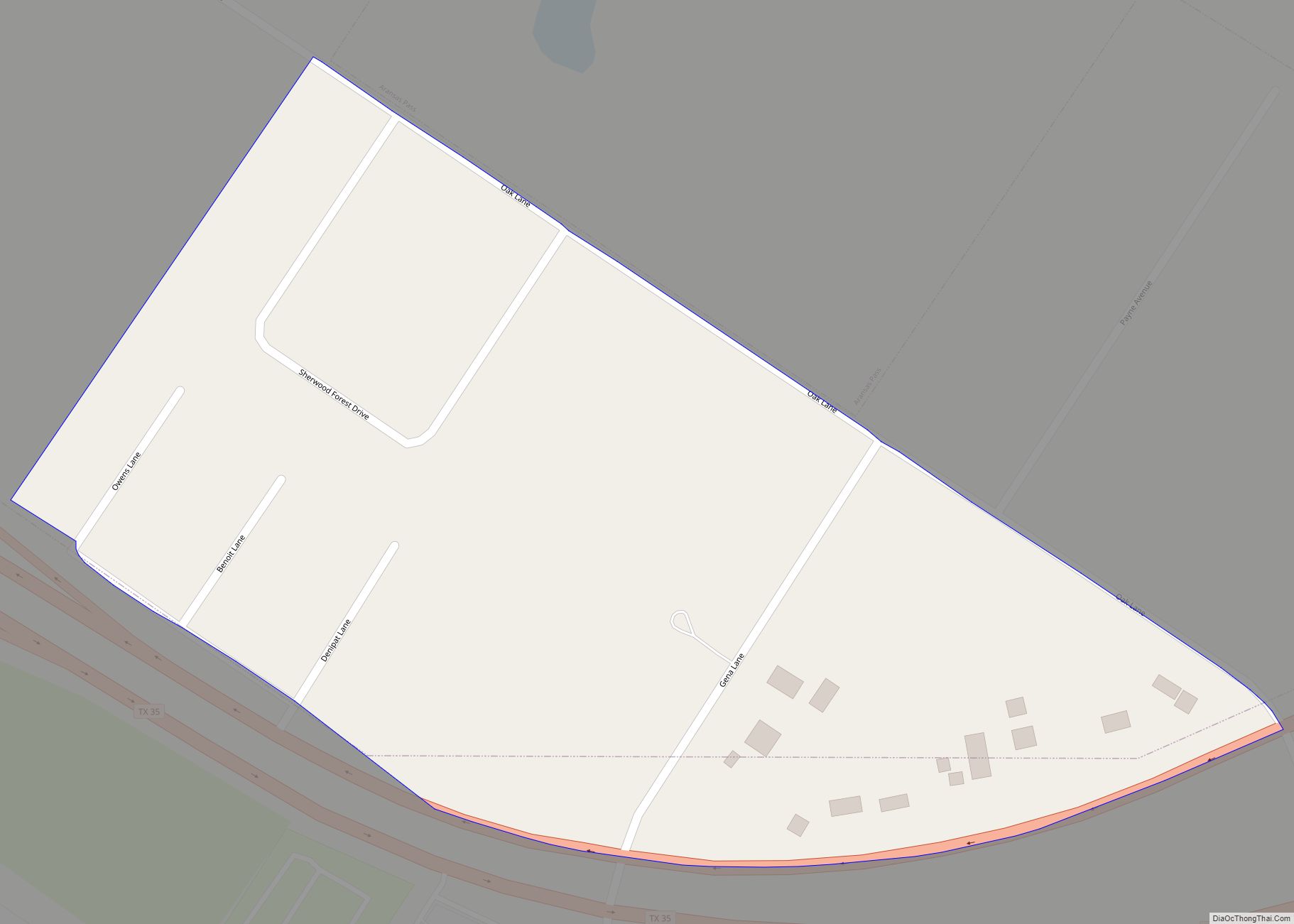
Mathis Road Map

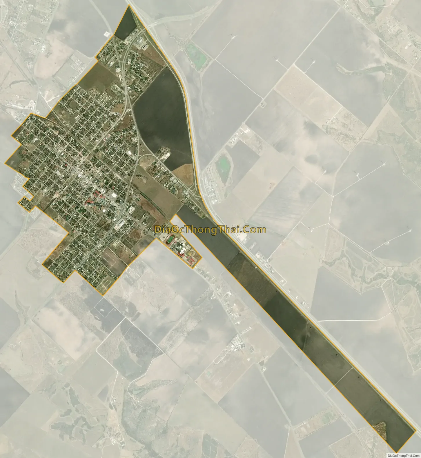
Mathis city Satellite Map
Geography
Mathis is located at 28°5′39″N 97°49′38″W / 28.09417°N 97.82722°W / 28.09417; -97.82722 (28.094098, –97.827323).
According to the United States Census Bureau, the city has a total area of 2 sq mi (5.2 km), all land.
See also
Map of Texas State and its subdivision:- Anderson
- Andrews
- Angelina
- Aransas
- Archer
- Armstrong
- Atascosa
- Austin
- Bailey
- Bandera
- Bastrop
- Baylor
- Bee
- Bell
- Bexar
- Blanco
- Borden
- Bosque
- Bowie
- Brazoria
- Brazos
- Brewster
- Briscoe
- Brooks
- Brown
- Burleson
- Burnet
- Caldwell
- Calhoun
- Callahan
- Cameron
- Camp
- Carson
- Cass
- Castro
- Chambers
- Cherokee
- Childress
- Clay
- Cochran
- Coke
- Coleman
- Collin
- Collingsworth
- Colorado
- Comal
- Comanche
- Concho
- Cooke
- Coryell
- Cottle
- Crane
- Crockett
- Crosby
- Culberson
- Dallam
- Dallas
- Dawson
- Deaf Smith
- Delta
- Denton
- Dewitt
- Dickens
- Dimmit
- Donley
- Duval
- Eastland
- Ector
- Edwards
- El Paso
- Ellis
- Erath
- Falls
- Fannin
- Fayette
- Fisher
- Floyd
- Foard
- Fort Bend
- Franklin
- Freestone
- Frio
- Gaines
- Galveston
- Garza
- Gillespie
- Glasscock
- Goliad
- Gonzales
- Gray
- Grayson
- Gregg
- Grimes
- Guadalupe
- Hale
- Hall
- Hamilton
- Hansford
- Hardeman
- Hardin
- Harris
- Harrison
- Hartley
- Haskell
- Hays
- Hemphill
- Henderson
- Hidalgo
- Hill
- Hockley
- Hood
- Hopkins
- Houston
- Howard
- Hudspeth
- Hunt
- Hutchinson
- Irion
- Jack
- Jackson
- Jasper
- Jeff Davis
- Jefferson
- Jim Hogg
- Jim Wells
- Johnson
- Jones
- Karnes
- Kaufman
- Kendall
- Kenedy
- Kent
- Kerr
- Kimble
- King
- Kinney
- Kleberg
- Knox
- La Salle
- Lamar
- Lamb
- Lampasas
- Lavaca
- Lee
- Leon
- Liberty
- Limestone
- Lipscomb
- Live Oak
- Llano
- Loving
- Lubbock
- Lynn
- Madison
- Marion
- Martin
- Mason
- Matagorda
- Maverick
- McCulloch
- McLennan
- McMullen
- Medina
- Menard
- Midland
- Milam
- Mills
- Mitchell
- Montague
- Montgomery
- Moore
- Morris
- Motley
- Nacogdoches
- Navarro
- Newton
- Nolan
- Nueces
- Ochiltree
- Oldham
- Orange
- Palo Pinto
- Panola
- Parker
- Parmer
- Pecos
- Polk
- Potter
- Presidio
- Rains
- Randall
- Reagan
- Real
- Red River
- Reeves
- Refugio
- Roberts
- Robertson
- Rockwall
- Runnels
- Rusk
- Sabine
- San Augustine
- San Jacinto
- San Patricio
- San Saba
- Schleicher
- Scurry
- Shackelford
- Shelby
- Sherman
- Smith
- Somervell
- Starr
- Stephens
- Sterling
- Stonewall
- Sutton
- Swisher
- Tarrant
- Taylor
- Terrell
- Terry
- Throckmorton
- Titus
- Tom Green
- Travis
- Trinity
- Tyler
- Upshur
- Upton
- Uvalde
- Val Verde
- Van Zandt
- Victoria
- Walker
- Waller
- Ward
- Washington
- Webb
- Wharton
- Wheeler
- Wichita
- Wilbarger
- Willacy
- Williamson
- Wilson
- Winkler
- Wise
- Wood
- Yoakum
- Young
- Zapata
- Zavala
- Alabama
- Alaska
- Arizona
- Arkansas
- California
- Colorado
- Connecticut
- Delaware
- District of Columbia
- Florida
- Georgia
- Hawaii
- Idaho
- Illinois
- Indiana
- Iowa
- Kansas
- Kentucky
- Louisiana
- Maine
- Maryland
- Massachusetts
- Michigan
- Minnesota
- Mississippi
- Missouri
- Montana
- Nebraska
- Nevada
- New Hampshire
- New Jersey
- New Mexico
- New York
- North Carolina
- North Dakota
- Ohio
- Oklahoma
- Oregon
- Pennsylvania
- Rhode Island
- South Carolina
- South Dakota
- Tennessee
- Texas
- Utah
- Vermont
- Virginia
- Washington
- West Virginia
- Wisconsin
- Wyoming