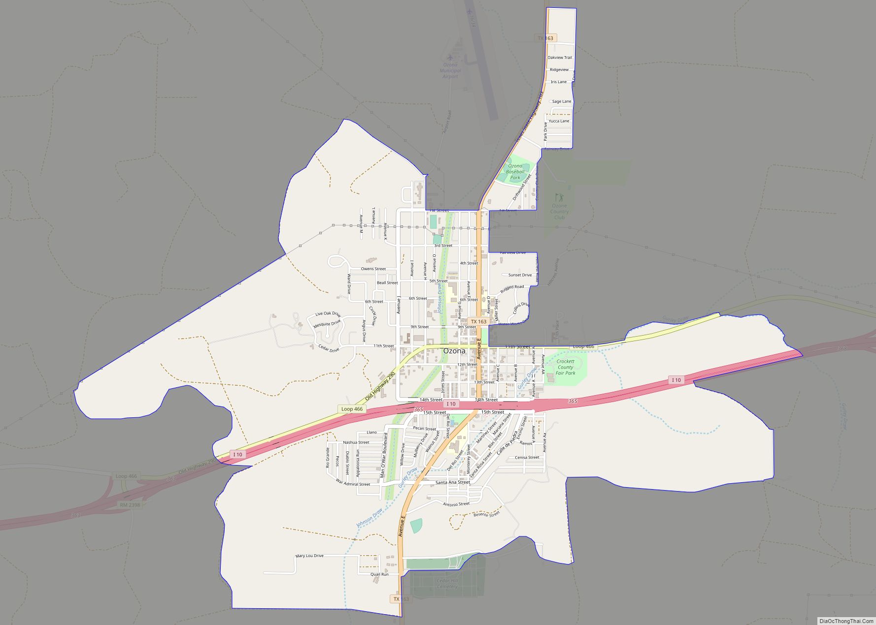
Map of Oyster Creek city
Oyster Creek is a city in Brazoria County, Texas, United States. The population was 1,111 at the 2010 census. Oyster Creek city overview: Name: Oyster Creek city LSAD Code: 25 LSAD Description: city (suffix) State: Texas County: Brazoria County Elevation: 7 ft (2 m) Total Area: 2.14 sq mi (5.53 km²) Land Area: 1.90 sq mi (4.91 km²) Water Area: 0.24 sq mi (0.62 km²) Total ... Read more
Map of Oyster Creek city
Map of Owl Ranch CDP
Owl Ranch is an unincorporated community and census-designated place in Jim Wells County, Texas, United States. Its population was 225 as of the 2010 census. Prior to 2010, the community was grouped with nearby Amargosa as part of the Owl Ranch-Amargosa census-designated place. Owl Ranch CDP overview: Name: Owl Ranch CDP LSAD Code: 57 LSAD ... Read more
Map of Owl Ranch CDP
Map of Ovilla city
Ovilla is a city in Dallas and Ellis Counties in the U.S. state of Texas. The population was 4,304 at the 2020 census. Ovilla city overview: Name: Ovilla city LSAD Code: 25 LSAD Description: city (suffix) State: Texas County: Dallas County, Ellis County Elevation: 610 ft (186 m) Total Area: 5.79 sq mi (14.99 km²) Land Area: 5.79 sq mi (14.99 km²) Water ... Read more
Map of Ovilla city
Map of Overton city, Texas
Overton is a city in Rusk and Smith counties in the U.S. state of Texas. Overton lies in two counties as well as two metropolitan areas. The Rusk County portion of the city is part of the Longview Metropolitan Statistical Area, while the Smith County portion is part of the Tyler Metropolitan Statistical Area. The ... Read more
Map of Overton city, Texas
Map of Ore City
Ore City is a city in Upshur County, Texas, United States. The population was 1,108 at the 2020 census. Ore City city overview: Name: Ore City city LSAD Code: 25 LSAD Description: city (suffix) State: Texas County: Upshur County Elevation: 328 ft (100 m) Total Area: 2.18 sq mi (5.65 km²) Land Area: 2.16 sq mi (5.59 km²) Water Area: 0.02 sq mi (0.06 km²) Total ... Read more
Map of Ore City
Map of Orchard city, Texas
Orchard is a city in western Fort Bend County, Texas, United States, within the Houston–Sugar Land–Baytown metropolitan area. The community is located along State Highway 36 (SH 36) and the BNSF Railway between Rosenberg in Fort Bend County and Wallis in Austin County. The population was 352 at the 2010 census, down from 408 at the 2000 ... Read more
Map of Orchard city, Texas
Map of Palm Valley city, Texas
Palm Valley is a city in Cameron County, Texas, United States. The population was 1,304 at the 2010 census. It is part of the Brownsville–Harlingen–Raymondville and the Matamoros–Brownsville metropolitan areas. Palm Valley city overview: Name: Palm Valley city LSAD Code: 25 LSAD Description: city (suffix) State: Texas County: Cameron County Incorporated: September 11, 1980 Elevation: ... Read more
Map of Palm Valley city, Texas
Map of Palisades village
Palisades is a village in Randall County, Texas, United States. The population was 325 at the 2010 census. It is part of the Amarillo, Texas Metropolitan Statistical Area. Palisades village overview: Name: Palisades village LSAD Code: 47 LSAD Description: village (suffix) State: Texas County: Randall County Elevation: 3,353 ft (1,022 m) Total Area: 0.58 sq mi (1.50 km²) Land Area: ... Read more
Map of Palisades village
Map of Palestine city, Texas
Palestine (/ˈpælɪstiːn/ PAL-ih-steen) is a city in and the seat of Anderson County in the U.S. state of Texas. It was named for Palestine, Illinois, by preacher Daniel Parker, who had migrated from that town. It is also contested that Micham Main named Palestine after his hometown of Palestine, Illinois when he and his family ... Read more
Map of Palestine city, Texas
Map of Palacios city
Palacios (/pəˈlæʃəs/ (listen) pə-LASH-əs) is a city in Matagorda County, Texas, United States. The population was 4,395 at the 2020 census. Palacios city overview: Name: Palacios city LSAD Code: 25 LSAD Description: city (suffix) State: Texas County: Matagorda County Elevation: 13 ft (4 m) Total Area: 5.21 sq mi (13.48 km²) Land Area: 4.94 sq mi (12.79 km²) Water Area: 0.27 sq mi (0.69 km²) Total ... Read more
Map of Palacios city
Map of Paisano Park CDP
Paisano Park is a census-designated place (CDP) in San Patricio County, Texas, United States. The population was 130 at the 2010 census. Prior to the 2010 census Paisano Park was part of the Edgewater-Paisano CDP. Paisano Park CDP overview: Name: Paisano Park CDP LSAD Code: 57 LSAD Description: CDP (suffix) State: Texas County: San Patricio ... Read more
Map of Paisano Park CDP
Map of Palo Blanco CDP
Palo Blanco is a census-designated place (CDP) in Starr County, Texas, United States. It is a new CDP formed from part of the Los Alvarez CDP prior to the 2010 census with a population of 204. Palo Blanco CDP overview: Name: Palo Blanco CDP LSAD Code: 57 LSAD Description: CDP (suffix) State: Texas County: Starr ... Read more
Map of Palo Blanco CDP