Overton is a city in Rusk and Smith counties in the U.S. state of Texas. Overton lies in two counties as well as two metropolitan areas. The Rusk County portion of the city is part of the Longview Metropolitan Statistical Area, while the Smith County portion is part of the Tyler Metropolitan Statistical Area.
The population was 2,275 at the 2020 census.
| Name: | Overton city |
|---|---|
| LSAD Code: | 25 |
| LSAD Description: | city (suffix) |
| State: | Texas |
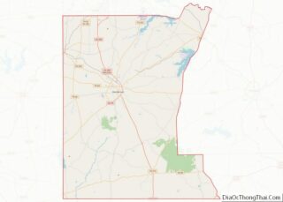
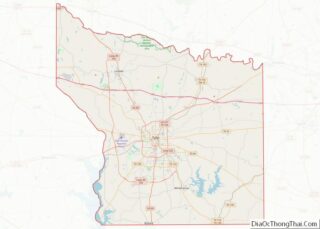
| County: | Rusk County, Smith County |
| Elevation: | 502 ft (153 m) |
| Total Area: | 6.75 sq mi (17.48 km²) |
| Land Area: | 6.70 sq mi (17.35 km²) |
| Water Area: | 0.05 sq mi (0.13 km²) |
| Total Population: | 2,275 |
| Population Density: | 373.58/sq mi (144.24/km²) |
| ZIP code: | 75684 |
| Area code: | 903 |
| FIPS code: | 4854432 |
| GNISfeature ID: | 1343370 |
| Website: | https://cityofoverton.com/ |
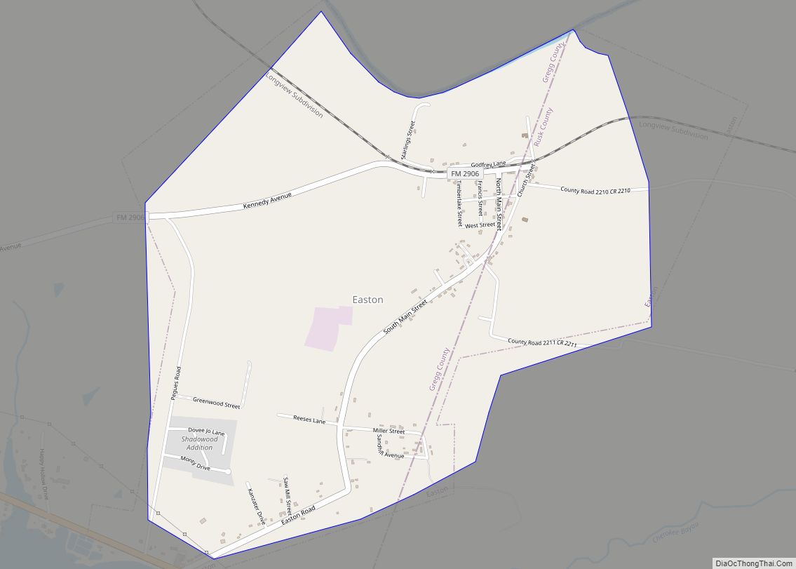
Online Interactive Map
Click on ![]() to view map in "full screen" mode.
to view map in "full screen" mode.
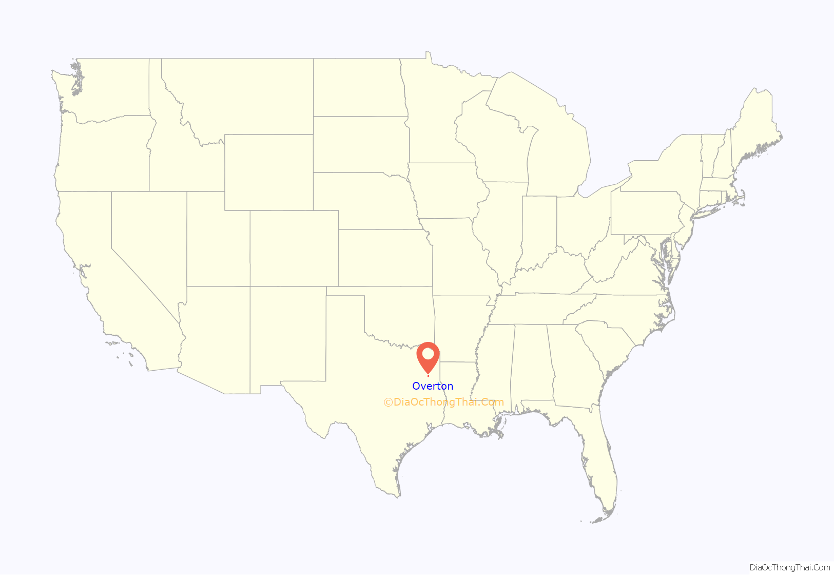
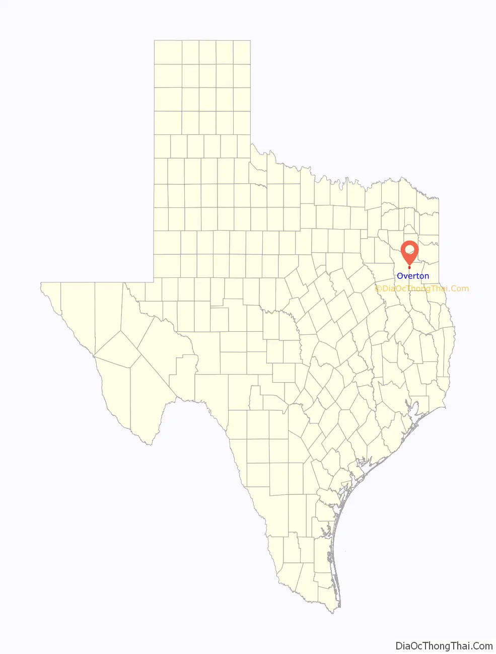
Overton location map. Where is Overton city?
History
It was known to the Choctaws, Chickasaws, and Creeks who lived in the area as Tiyuk Hekia (Standing Pine); many years later, when it was incorporated, it became known as Overton.
The town was named after Major Frank Overton, an early settler and landowner who donated some of his land for the town site. It was platted in 1873 and a post office was granted that year.
Overton was originally intended to be a crossroads for two railroads. In 1875, the Henderson and Overton Branch Railroad, 16 miles long, was completed and was later joined by the International-Great Northern. When the nearby communities of Bellview, Jamestown, Rocky Mount, and Salem were all bypassed by the railroad, Overton gained the businesses and people who wanted to benefit from the railroad lines. The town offered lots for businesses to relocate, and many took the offer.
The Masons and Odd Fellows built the first school, and a church was constructed in 1875. By 1888 the population had increased to 500 and had all essential businesses, including a newspaper. Overton prospered as an agricultural community, and in 1904 the population had reached 568.
Oklahoman wildcatter C. M. (Dad) Joiner was drilling his third well in 1930, and the town of Overton helped raise the funds he needed to drill. When the well came in, Overton shared in Joiner’s success, as churches, schools, and a refinery were built. Hubbard College was founded during this time as well. The town’s once agrarian-based economy suddenly revolved entirely around the production of oil.
Overton’s population skyrocketed from 426 in 1931 to 3,000 in 1933. By 1936 it was up to 4,500 and the town went through the Great Depression relatively unscathed. But by the end of World War II the population had declined by half—reaching just 2,000 in the 1950s and remaining at that level through the 1970s. In the 1980s Overton was Rusk County’s “second city” with a population of 2,430 in 1983. By the 1990s Overton extended into neighboring Smith County.
The City of Overton has had a storied history with Radical Groups claiming the site as their base of operations. The Republic of Texas operated within the City Limits from the Early 2000s, up until the building was mysteriously burned down. Overton has a historical voting base consisting primarily of older, Republican-leaning voters.
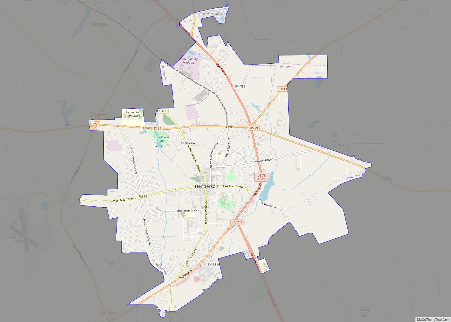
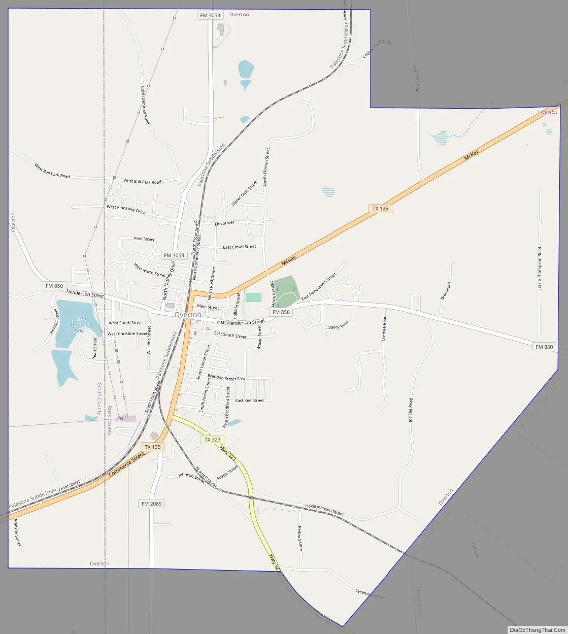
Overton Road Map
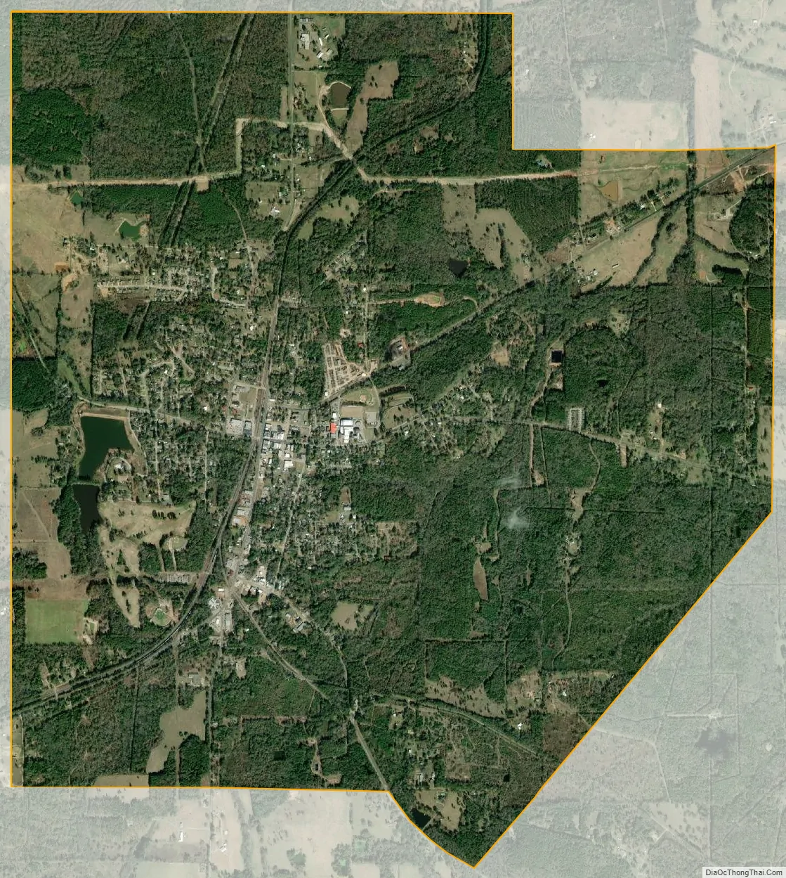
Overton city Satellite Map
Geography
Overton is located at 32°16′25″N 94°58′35″W / 32.27361°N 94.97639°W / 32.27361; -94.97639 (32.273608, –94.976306).
According to the United States Census Bureau, the city has a total area of 6.8 square miles (17.5 km), of which 6.7 square miles (17.4 km) is land and 0.04 square mile (0.1 km) (0.59%) is water. Most of the city lies in Rusk County, with a small portion extending into Smith County.
Major highways
- State Highway 135
- State Highway 323
See also
Map of Texas State and its subdivision:- Anderson
- Andrews
- Angelina
- Aransas
- Archer
- Armstrong
- Atascosa
- Austin
- Bailey
- Bandera
- Bastrop
- Baylor
- Bee
- Bell
- Bexar
- Blanco
- Borden
- Bosque
- Bowie
- Brazoria
- Brazos
- Brewster
- Briscoe
- Brooks
- Brown
- Burleson
- Burnet
- Caldwell
- Calhoun
- Callahan
- Cameron
- Camp
- Carson
- Cass
- Castro
- Chambers
- Cherokee
- Childress
- Clay
- Cochran
- Coke
- Coleman
- Collin
- Collingsworth
- Colorado
- Comal
- Comanche
- Concho
- Cooke
- Coryell
- Cottle
- Crane
- Crockett
- Crosby
- Culberson
- Dallam
- Dallas
- Dawson
- Deaf Smith
- Delta
- Denton
- Dewitt
- Dickens
- Dimmit
- Donley
- Duval
- Eastland
- Ector
- Edwards
- El Paso
- Ellis
- Erath
- Falls
- Fannin
- Fayette
- Fisher
- Floyd
- Foard
- Fort Bend
- Franklin
- Freestone
- Frio
- Gaines
- Galveston
- Garza
- Gillespie
- Glasscock
- Goliad
- Gonzales
- Gray
- Grayson
- Gregg
- Grimes
- Guadalupe
- Hale
- Hall
- Hamilton
- Hansford
- Hardeman
- Hardin
- Harris
- Harrison
- Hartley
- Haskell
- Hays
- Hemphill
- Henderson
- Hidalgo
- Hill
- Hockley
- Hood
- Hopkins
- Houston
- Howard
- Hudspeth
- Hunt
- Hutchinson
- Irion
- Jack
- Jackson
- Jasper
- Jeff Davis
- Jefferson
- Jim Hogg
- Jim Wells
- Johnson
- Jones
- Karnes
- Kaufman
- Kendall
- Kenedy
- Kent
- Kerr
- Kimble
- King
- Kinney
- Kleberg
- Knox
- La Salle
- Lamar
- Lamb
- Lampasas
- Lavaca
- Lee
- Leon
- Liberty
- Limestone
- Lipscomb
- Live Oak
- Llano
- Loving
- Lubbock
- Lynn
- Madison
- Marion
- Martin
- Mason
- Matagorda
- Maverick
- McCulloch
- McLennan
- McMullen
- Medina
- Menard
- Midland
- Milam
- Mills
- Mitchell
- Montague
- Montgomery
- Moore
- Morris
- Motley
- Nacogdoches
- Navarro
- Newton
- Nolan
- Nueces
- Ochiltree
- Oldham
- Orange
- Palo Pinto
- Panola
- Parker
- Parmer
- Pecos
- Polk
- Potter
- Presidio
- Rains
- Randall
- Reagan
- Real
- Red River
- Reeves
- Refugio
- Roberts
- Robertson
- Rockwall
- Runnels
- Rusk
- Sabine
- San Augustine
- San Jacinto
- San Patricio
- San Saba
- Schleicher
- Scurry
- Shackelford
- Shelby
- Sherman
- Smith
- Somervell
- Starr
- Stephens
- Sterling
- Stonewall
- Sutton
- Swisher
- Tarrant
- Taylor
- Terrell
- Terry
- Throckmorton
- Titus
- Tom Green
- Travis
- Trinity
- Tyler
- Upshur
- Upton
- Uvalde
- Val Verde
- Van Zandt
- Victoria
- Walker
- Waller
- Ward
- Washington
- Webb
- Wharton
- Wheeler
- Wichita
- Wilbarger
- Willacy
- Williamson
- Wilson
- Winkler
- Wise
- Wood
- Yoakum
- Young
- Zapata
- Zavala
- Alabama
- Alaska
- Arizona
- Arkansas
- California
- Colorado
- Connecticut
- Delaware
- District of Columbia
- Florida
- Georgia
- Hawaii
- Idaho
- Illinois
- Indiana
- Iowa
- Kansas
- Kentucky
- Louisiana
- Maine
- Maryland
- Massachusetts
- Michigan
- Minnesota
- Mississippi
- Missouri
- Montana
- Nebraska
- Nevada
- New Hampshire
- New Jersey
- New Mexico
- New York
- North Carolina
- North Dakota
- Ohio
- Oklahoma
- Oregon
- Pennsylvania
- Rhode Island
- South Carolina
- South Dakota
- Tennessee
- Texas
- Utah
- Vermont
- Virginia
- Washington
- West Virginia
- Wisconsin
- Wyoming