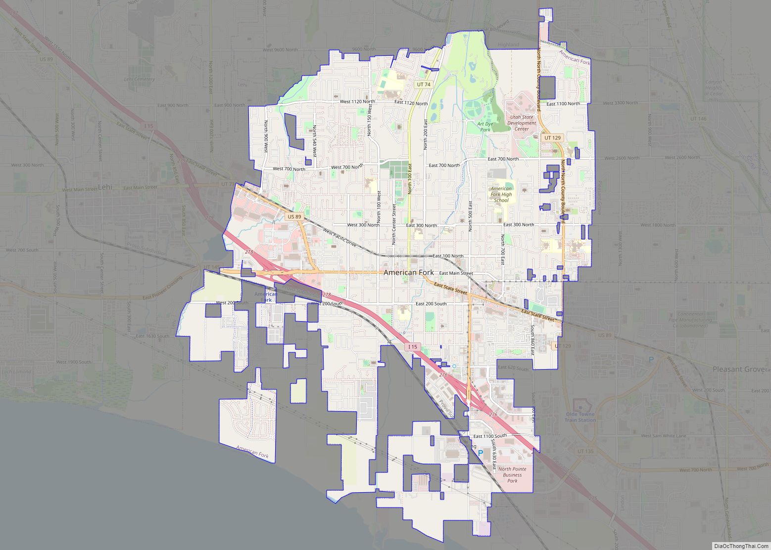
American Fork is a city in north-central Utah County, Utah, United States, at the foot of Mount Timpanogos in the Wasatch Range, north from Utah Lake. This city is thirty-two miles southeast of Salt Lake City. It is part of the Provo–Orem Metropolitan Statistical Area. The population was 33,337 in 2020. The city has grown ... Read more
Utah Cities and Places
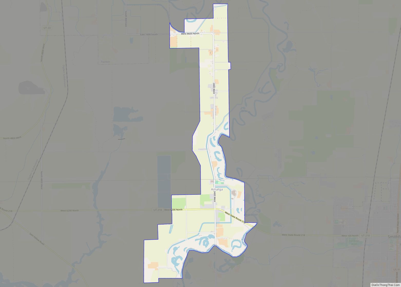
Amalga (/əˈmælɡə/ ə-MAL-gə) is a town in Cache County, Utah, United States. The population was 488 at the 2010 census. It is included in the Logan, Utah–Idaho (partial) Metropolitan Statistical Area. Many of the town’s population are dairy farmers, with many families owning their own herds. The town contains the Cache Valley Cheese plant. Nearby ... Read more
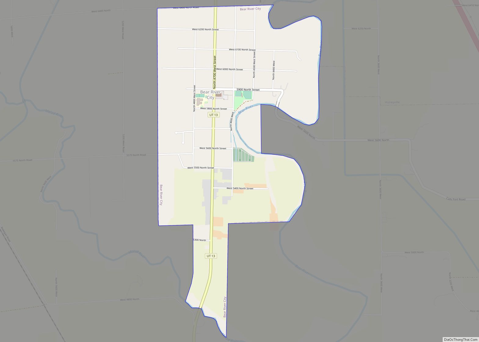
Bear River City is a city in Box Elder County, Utah, United States. The population was 877 at the 2020 census, up from the 2010 figure of 853. Bear River became a city under state law near the end of 2000. Although current state law requires a minimum population of 1000 for cities, Bear River ... Read more
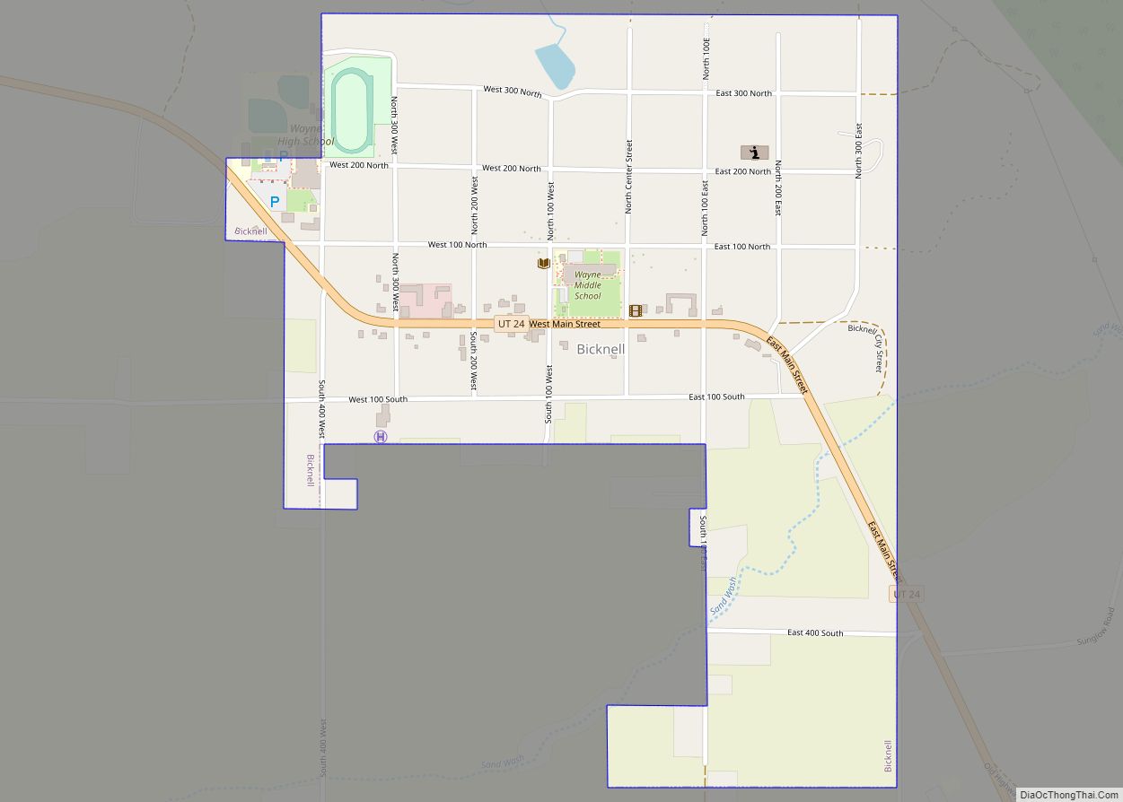
Bicknell is a town along State Route 24 in Wayne County, Utah, United States. As of the 2010 census, the town population was 327. Bicknell town overview: Name: Bicknell town LSAD Code: 43 LSAD Description: town (suffix) State: Utah County: Wayne County Incorporated: 1938 Elevation: 7,123 ft (2,171 m) Total Area: 0.57 sq mi (1.48 km²) Land Area: 0.57 sq mi (1.48 km²) ... Read more
Benson is a census-designated place (CDP) in Cache County, Utah, United States. It is immediately south of Amalga, across State Route 218, and is west of the Logan-Cache Airport. The population was 1,485 at the 2010 census. It is included in the Logan, Utah-Idaho Metropolitan Statistical Area. The Benson Elementary School is listed on the ... Read more
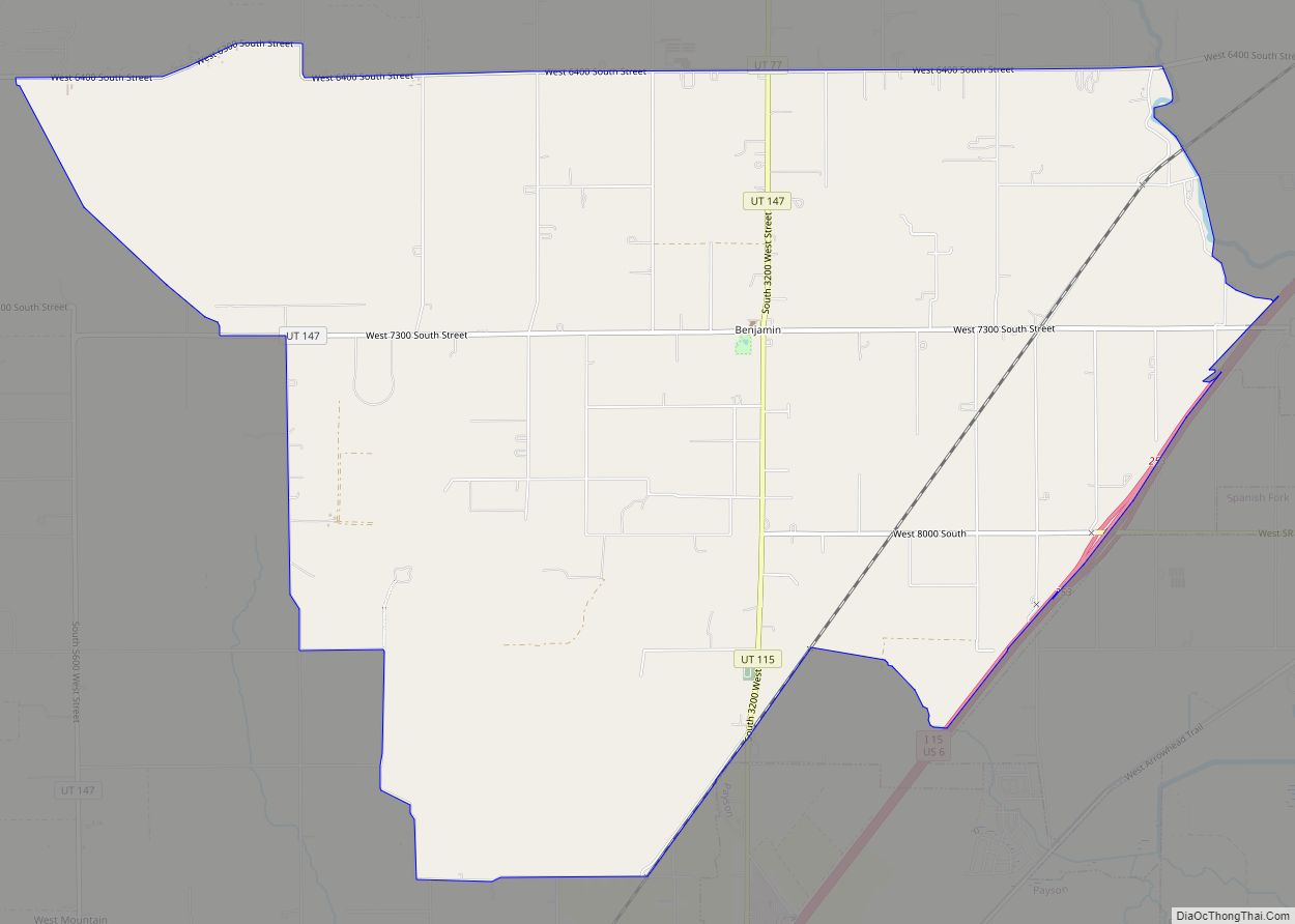
Benjamin is a census-designated place (CDP) in Utah County, Utah, United States. It is part of the Provo–Orem Metropolitan Statistical Area. The population was 1,145 at the 2010 census. Benjamin CDP overview: Name: Benjamin CDP LSAD Code: 57 LSAD Description: CDP (suffix) State: Utah County: Utah County Founded: 1860 Elevation: 4,534 ft (1,382 m) Total Area: 12.3 sq mi ... Read more
Central is a census-designated place in north-central Washington County, Utah, United States. The population was 613 at the 2010 census. Central lies along State Route 18, on the edge of the Dixie National Forest, north of the city of St. George (the county seat of Washington County). Central CDP overview: Name: Central CDP LSAD Code: ... Read more
Centerville is a city in southeastern Davis County, Utah, United States. Centerville is part of the Ogden-Clearfield Metropolitan Statistical Area. The population was 15,335 at the 2010 census. It is located adjacent to the easternmost part of the Great Salt Lake. Centerville city overview: Name: Centerville city LSAD Code: 25 LSAD Description: city (suffix) State: ... Read more
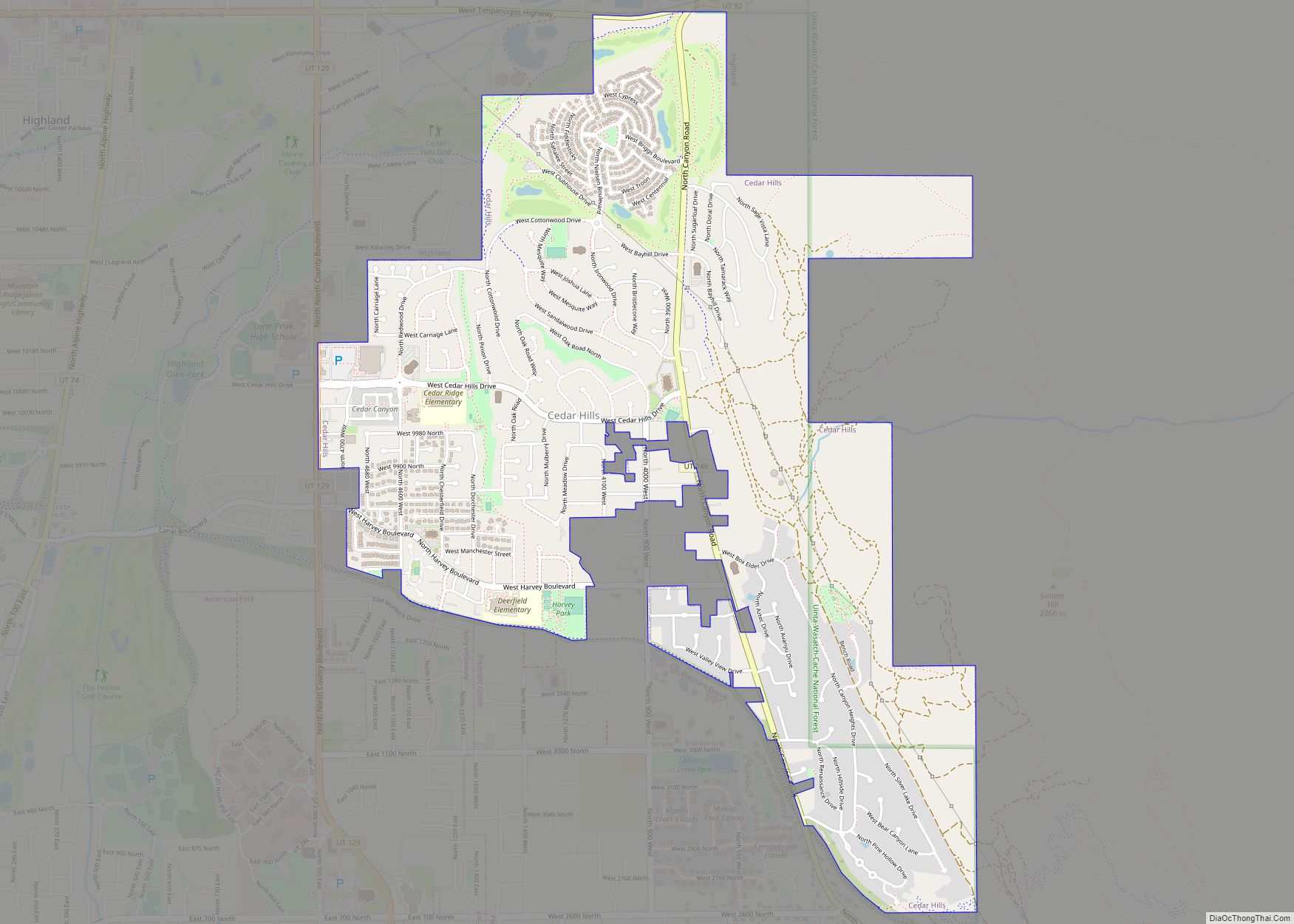
Cedar Hills is a city in north-central Utah County, Utah, United States. The population was 9,796 at the 2010 census, up from 3,094 in 2000. The city began growing rapidly during the 1990s and is located eastof Alpine and Highland on the slopes of Mount Timpanogos. Cedar Hills city overview: Name: Cedar Hills city LSAD ... Read more
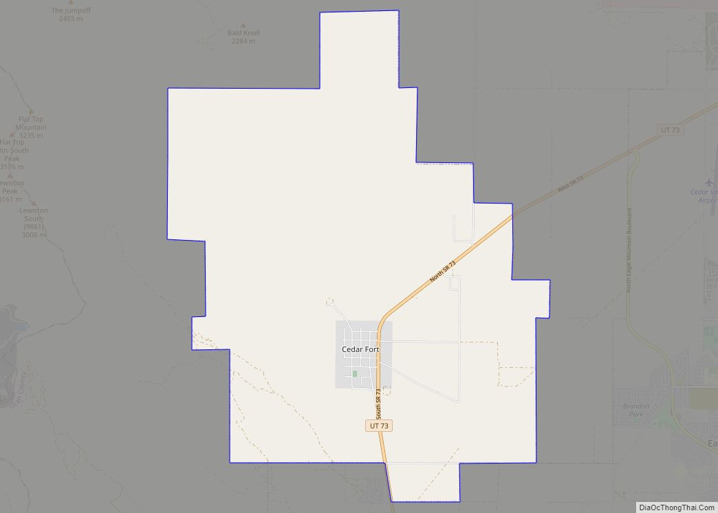
Cedar Fort is a town in Utah County, Utah, United States. It is part of the Provo–Orem Metropolitan Statistical Area. The population was 368 at the 2010 census. Cedar Fort town overview: Name: Cedar Fort town LSAD Code: 43 LSAD Description: town (suffix) State: Utah County: Utah County Incorporated: May 17, 1965 Elevation: 5,085 ft (1,550 m) ... Read more
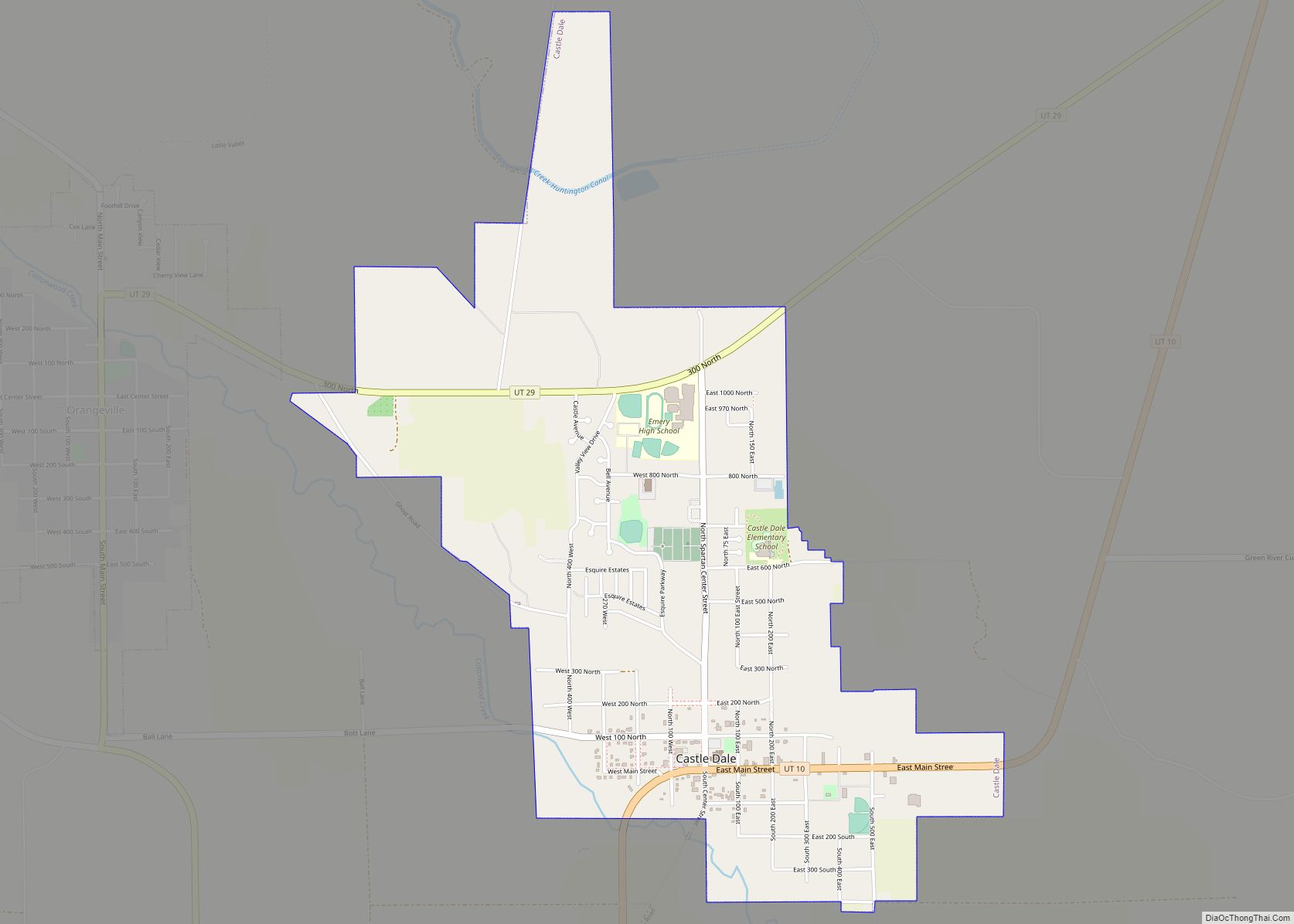
Castle Dale is a city in northwestern Emery County, Utah, United States. The population was 1,630 at the 2010 census. It is the county seat of Emery County. Castle Dale city overview: Name: Castle Dale city LSAD Code: 25 LSAD Description: city (suffix) State: Utah County: Emery County Incorporated: 1920 Elevation: 5,676 ft (1,730 m) Total Area: ... Read more
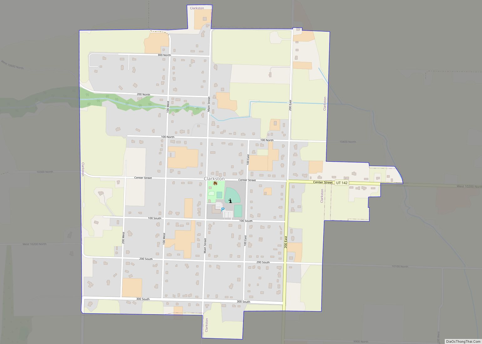
Clarkston is a town in Cache County, Utah, United States. The population was 666 at the 2010 census. It is included in the Logan, Utah-Idaho Metropolitan Statistical Area. The community celebration is held in June each year and is known as The Pony Express Days. Clarkston is noted for being the last home of Martin ... Read more
