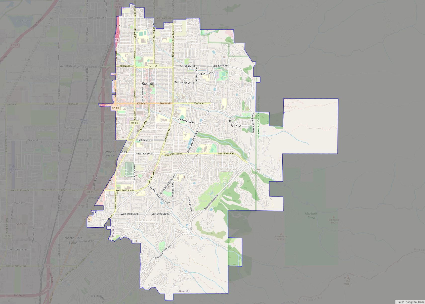
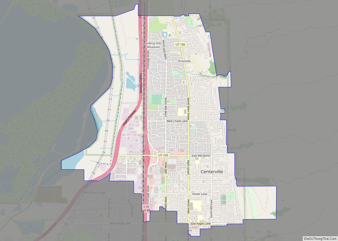
Centerville is a city in southeastern Davis County, Utah, United States. Centerville is part of the Ogden-Clearfield Metropolitan Statistical Area. The population was 15,335 at the 2010 census. It is located adjacent to the easternmost part of the Great Salt Lake.
| Name: | Centerville city |
|---|---|
| LSAD Code: | 25 |
| LSAD Description: | city (suffix) |
| State: | Utah |
| County: | Davis County |
| Elevation: | 4,367 ft (1,331 m) |
| Total Area: | 6.03 sq mi (15.61 km²) |
| Land Area: | 5.96 sq mi (15.45 km²) |
| Water Area: | 0.06 sq mi (0.17 km²) |
| Total Population: | 15,335 |
| Population Density: | 2,948.86/sq mi (1,138.52/km²) |
| ZIP code: | 84014 |
| Area code: | 385, 801 |
| FIPS code: | 4911980 |
| GNISfeature ID: | 1439622 |
| Website: | centervilleut.net |
Online Interactive Map
Click on ![]() to view map in "full screen" mode.
to view map in "full screen" mode.
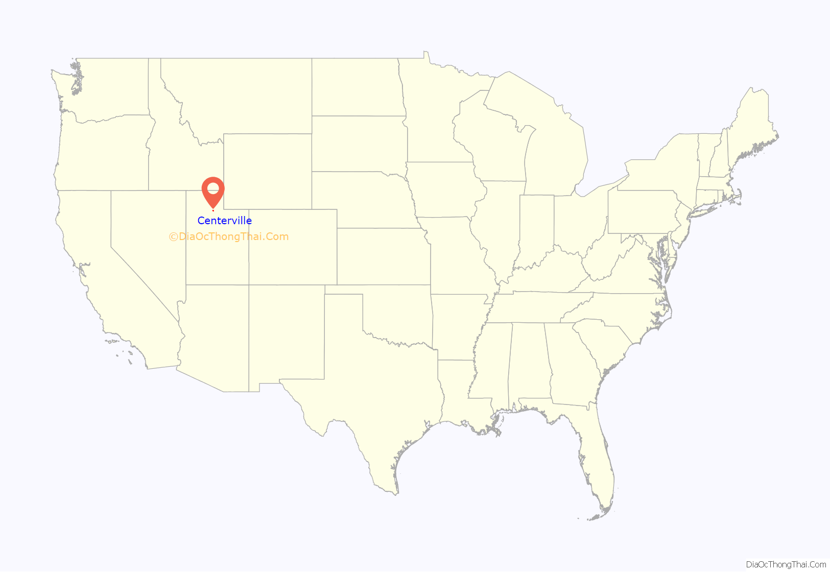
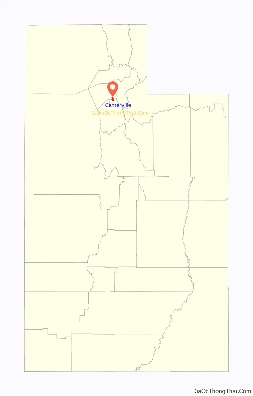
Centerville location map. Where is Centerville city?
History
Centerville was first settled by Thomas Grover in the fall of 1847. The community was originally known as Deuel Settlement but was renamed to Cherry Creek after the Cherry family arrived. After an 1850 survey found the town was located precisely between Farmington and Bountiful, it became known as Centerville, and it was this name that stuck.
- In 1849, Shadrach Roundy’s family farmed in the general vicinity of Centerville, and in the winter of 1849 he built a grist mill on Deuel Creek. He also made molasses from corn stalks at this mill.
- In 1851, a log school house was built in Centerville but was replaced by an adobe building in 1854 by a much larger building in 1862.
- Centerville was the home of Latter-day Saint church leader B. H. Roberts.
- In 1869, the Utah Central Rail Road reached Centerville.
- On May 4, 1915, Centerville City was incorporated by the State of Utah.
- In 1983, abnormally high rates of precipitation for several months culminated in a series of mudslides and flooded creeks in Centerville and throughout Northern Utah.
- In December 2011, a severe wind storm caused power outages and over $8 million in damage.
Ecclesiastical history
The first branch of the Church of Jesus Christ of Latter-day Saints (LDS Church) in Centerville was organized in 1850 with Sanford Porter as president. In 1852, Centerville was made a ward with Sanford Porter as bishop. In 1868, an LDS Sunday School was organized with Nathan Tanner Porter as president. In 1869, a Relief Society was organized with Mary Ann Harmon as president. In 1874, a branch of the United Order was organized in Centerville with William R. Smith as president. In December 1917, the Centerville Ward was divided into the Centerville 1st and Centerville 2nd Wards. In 1930, the two Centerville Wards had a combined membership of 823.
Today, there are four stakes of the LDS Church in Centerville.
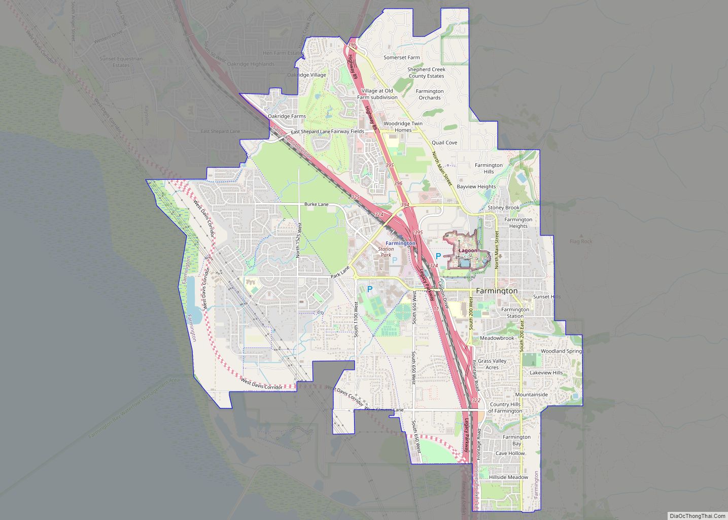
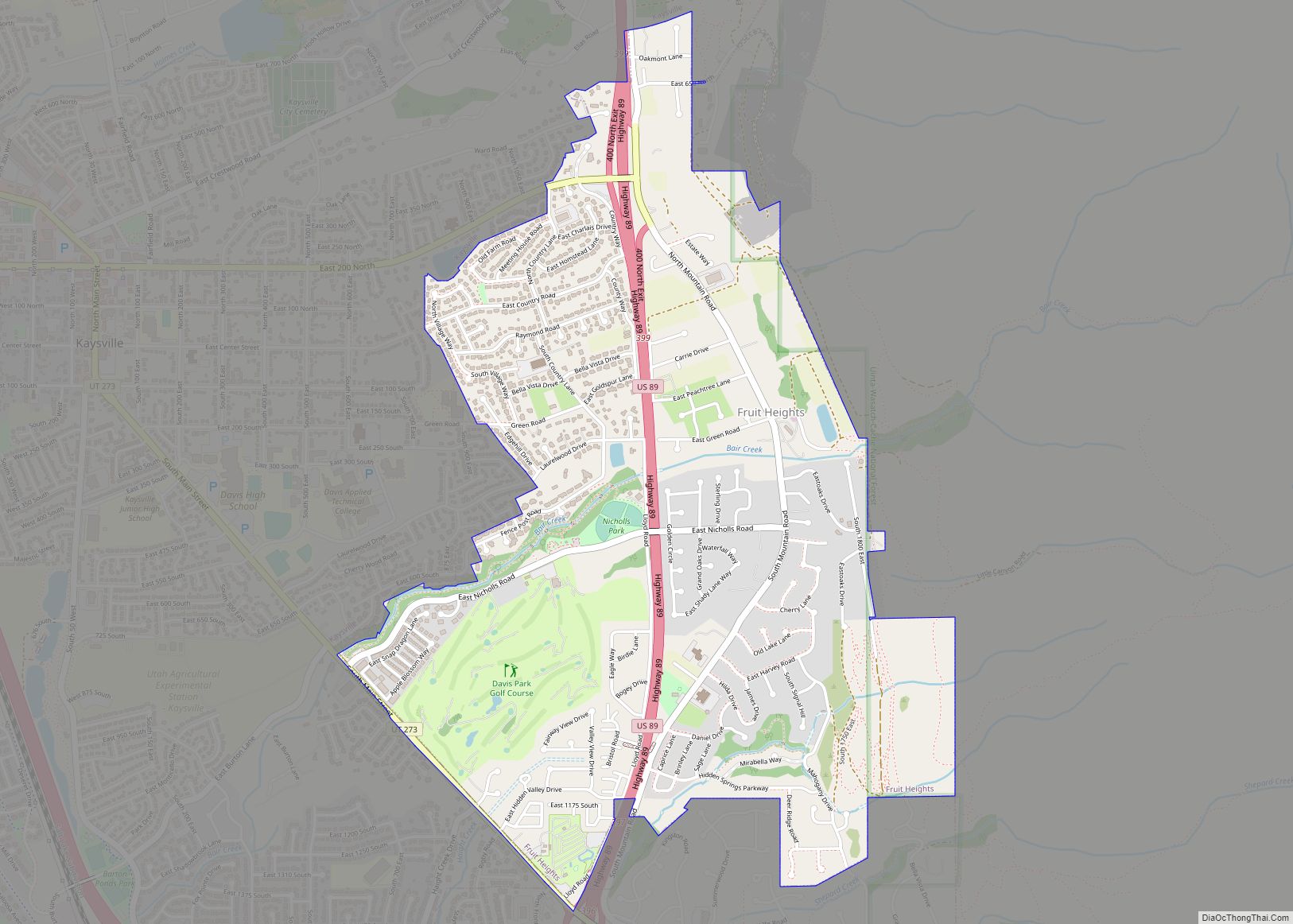
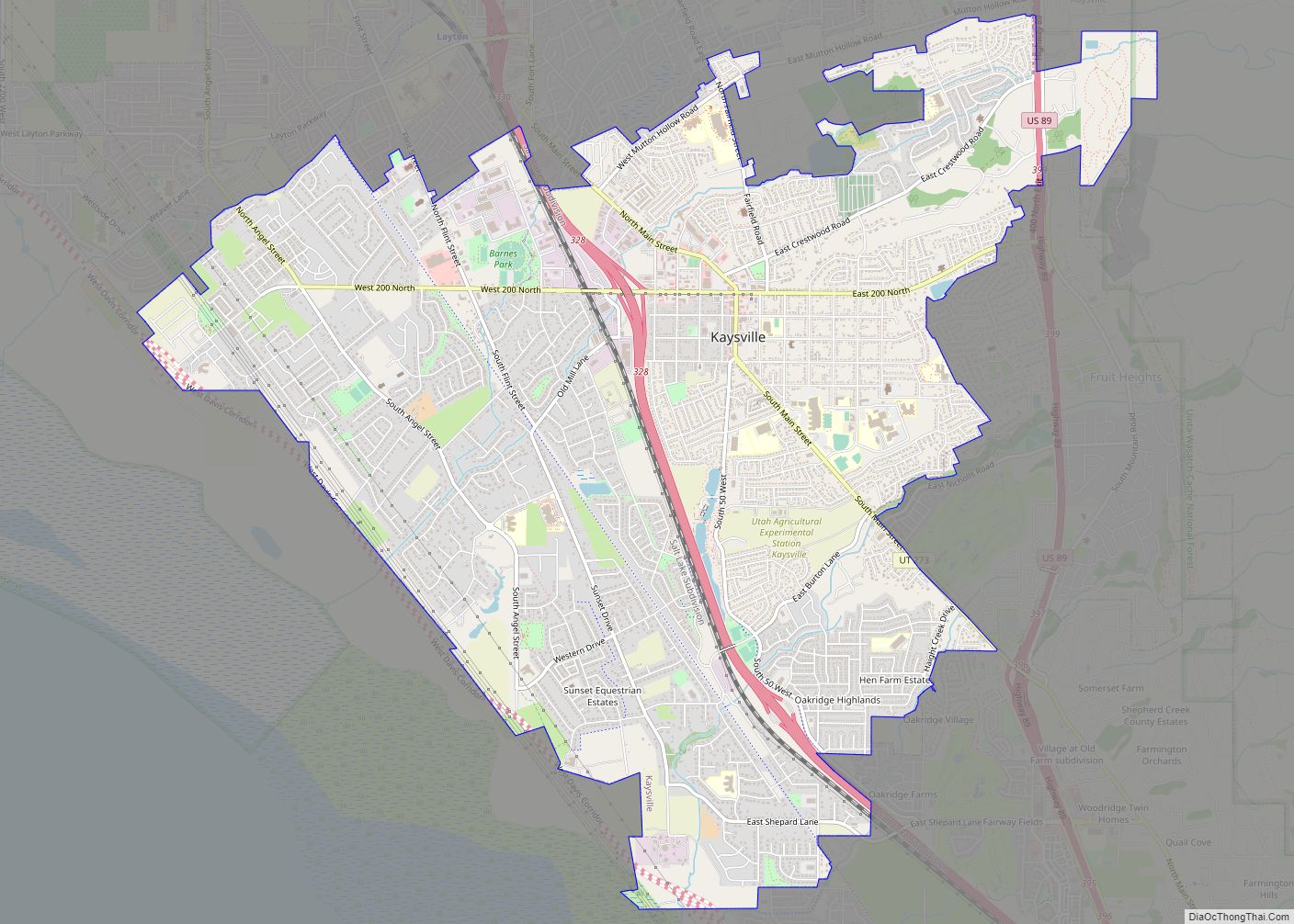
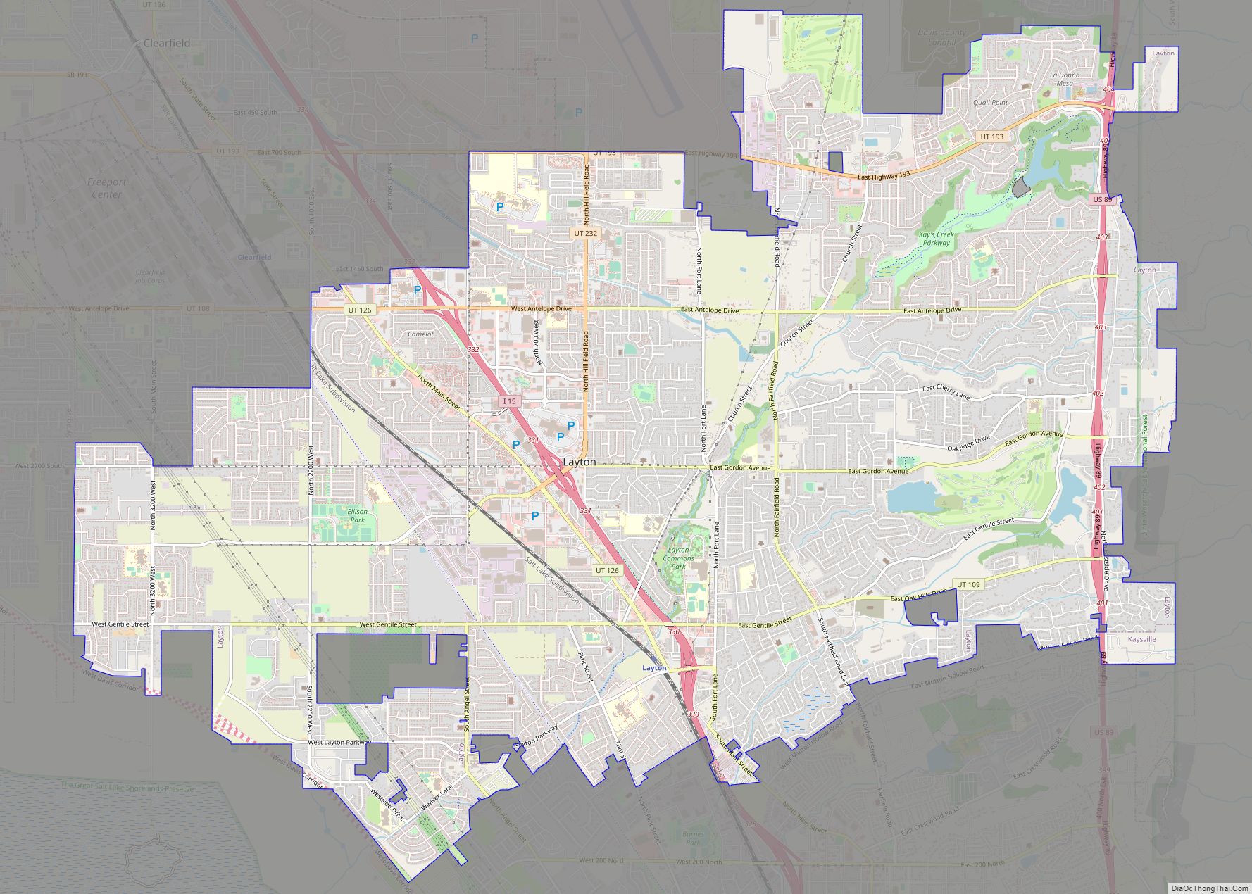
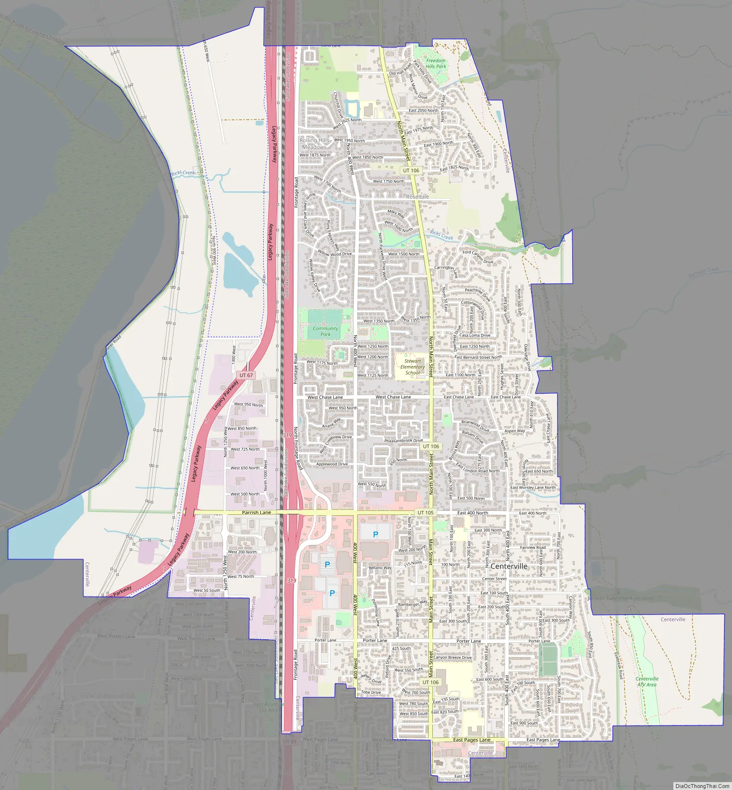
Centerville Road Map
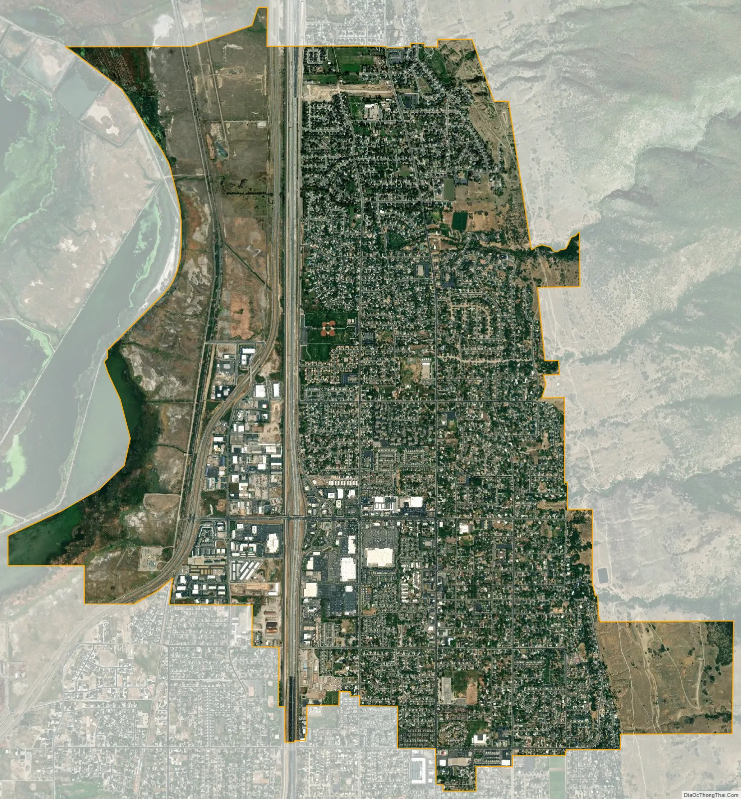
Centerville city Satellite Map
Geography
According to the United States Census Bureau, the city has a total area of 6.0 square miles (15.6 km), all land.
Climate
Centerville’s climate features hot, dry summers and cool, snowy winters. Under the Köppen climate classification, Centerville’s climate may be described as Mediterranean (Csa) or humid continental (Dsa) depending on which variant of the system is used.
See also
Map of Utah State and its subdivision: Map of other states:- Alabama
- Alaska
- Arizona
- Arkansas
- California
- Colorado
- Connecticut
- Delaware
- District of Columbia
- Florida
- Georgia
- Hawaii
- Idaho
- Illinois
- Indiana
- Iowa
- Kansas
- Kentucky
- Louisiana
- Maine
- Maryland
- Massachusetts
- Michigan
- Minnesota
- Mississippi
- Missouri
- Montana
- Nebraska
- Nevada
- New Hampshire
- New Jersey
- New Mexico
- New York
- North Carolina
- North Dakota
- Ohio
- Oklahoma
- Oregon
- Pennsylvania
- Rhode Island
- South Carolina
- South Dakota
- Tennessee
- Texas
- Utah
- Vermont
- Virginia
- Washington
- West Virginia
- Wisconsin
- Wyoming