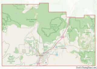
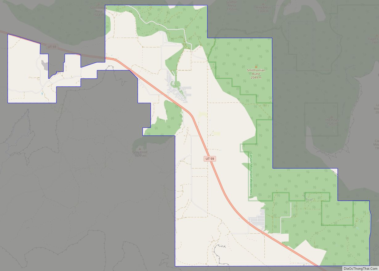
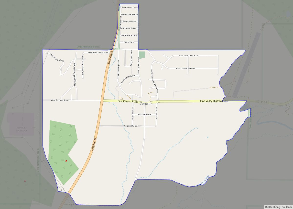
Central is a census-designated place in north-central Washington County, Utah, United States. The population was 613 at the 2010 census. Central lies along State Route 18, on the edge of the Dixie National Forest, north of the city of St. George (the county seat of Washington County).
| Name: | Central CDP |
|---|---|
| LSAD Code: | 57 |
| LSAD Description: | CDP (suffix) |
| State: | Utah |
| County: | Washington County |
| Incorporated: | 1935 (as a town) |
| Elevation: | 5,216 ft (1,590 m) |
| Total Area: | 613 |
| ZIP code: | 84722 |
| Area code: | 435 |
| FIPS code: | 4912200 |
| GNISfeature ID: | 2629947 |
Online Interactive Map
Click on ![]() to view map in "full screen" mode.
to view map in "full screen" mode.
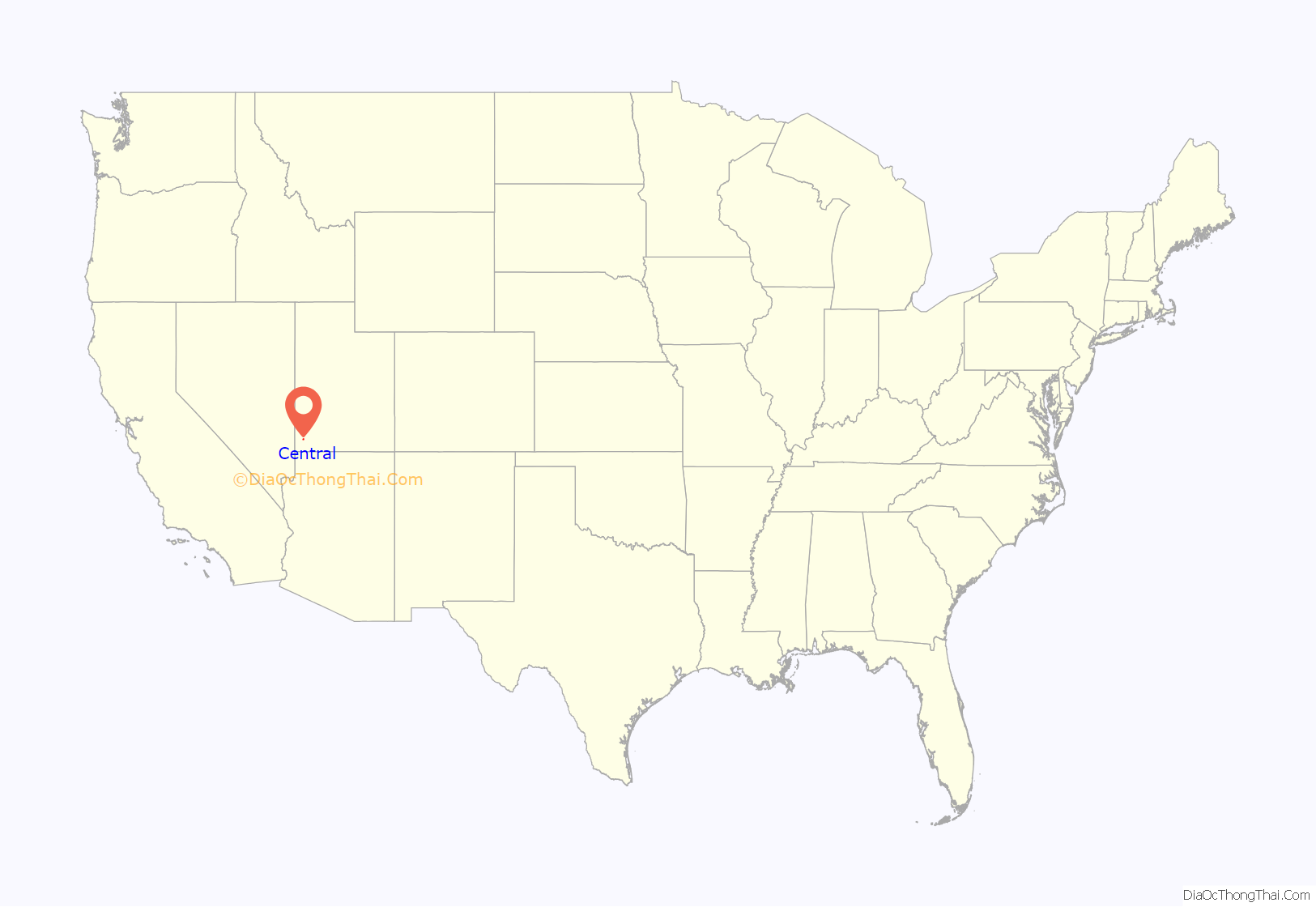
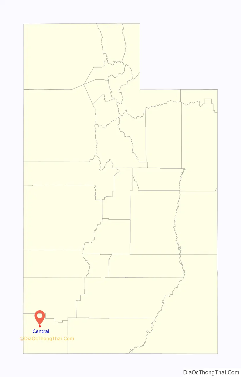
Central location map. Where is Central CDP?
History
Central was settled before 1910. It became an incorporated town in 1935, but was disincorporated in the 1960s. The town was so named because of its central location between Enterprise, and Veyo.
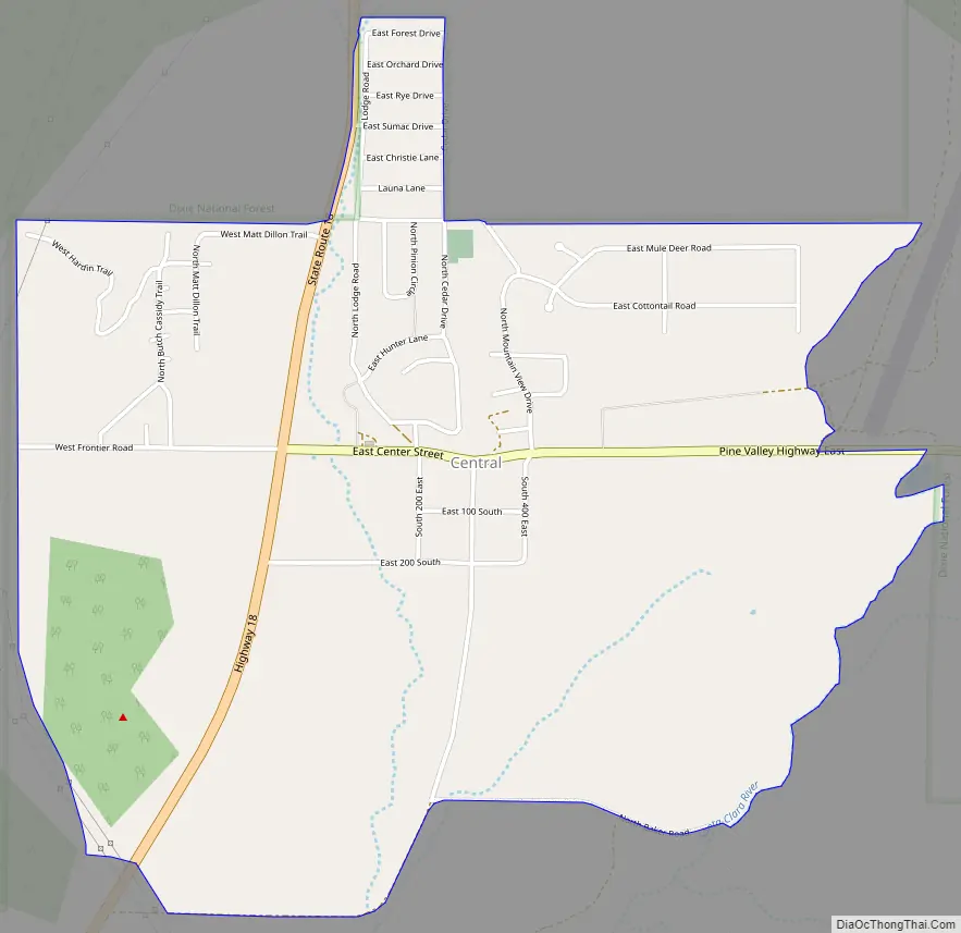
Central Road Map
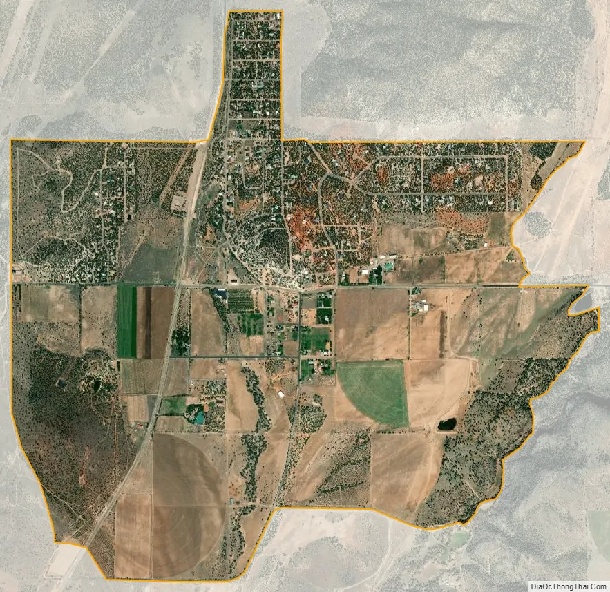
Central city Satellite Map
See also
Map of Utah State and its subdivision: Map of other states:- Alabama
- Alaska
- Arizona
- Arkansas
- California
- Colorado
- Connecticut
- Delaware
- District of Columbia
- Florida
- Georgia
- Hawaii
- Idaho
- Illinois
- Indiana
- Iowa
- Kansas
- Kentucky
- Louisiana
- Maine
- Maryland
- Massachusetts
- Michigan
- Minnesota
- Mississippi
- Missouri
- Montana
- Nebraska
- Nevada
- New Hampshire
- New Jersey
- New Mexico
- New York
- North Carolina
- North Dakota
- Ohio
- Oklahoma
- Oregon
- Pennsylvania
- Rhode Island
- South Carolina
- South Dakota
- Tennessee
- Texas
- Utah
- Vermont
- Virginia
- Washington
- West Virginia
- Wisconsin
- Wyoming