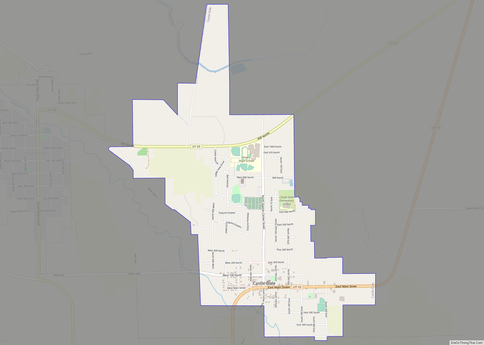
Castle Dale is a city in northwestern Emery County, Utah, United States. The population was 1,630 at the 2010 census. It is the county seat of Emery County.
| Name: | Castle Dale city |
|---|---|
| LSAD Code: | 25 |
| LSAD Description: | city (suffix) |
| State: | Utah |
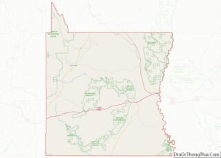
| County: | Emery County |
| Incorporated: | 1920 |
| Elevation: | 5,676 ft (1,730 m) |
| Total Area: | 2.23 sq mi (5.79 km²) |
| Land Area: | 2.23 sq mi (5.79 km²) |
| Water Area: | 0.00 sq mi (0.00 km²) |
| Total Population: | 1,630 |
| Population Density: | 667.41/sq mi (257.71/km²) |
| ZIP code: | 84513 |
| Area code: | 435 |
| FIPS code: | 4910660 |
| GNISfeature ID: | 1426380 |
| Website: | www.emerycounty.com/castledale/castledale.htm |
Online Interactive Map
Click on ![]() to view map in "full screen" mode.
to view map in "full screen" mode.
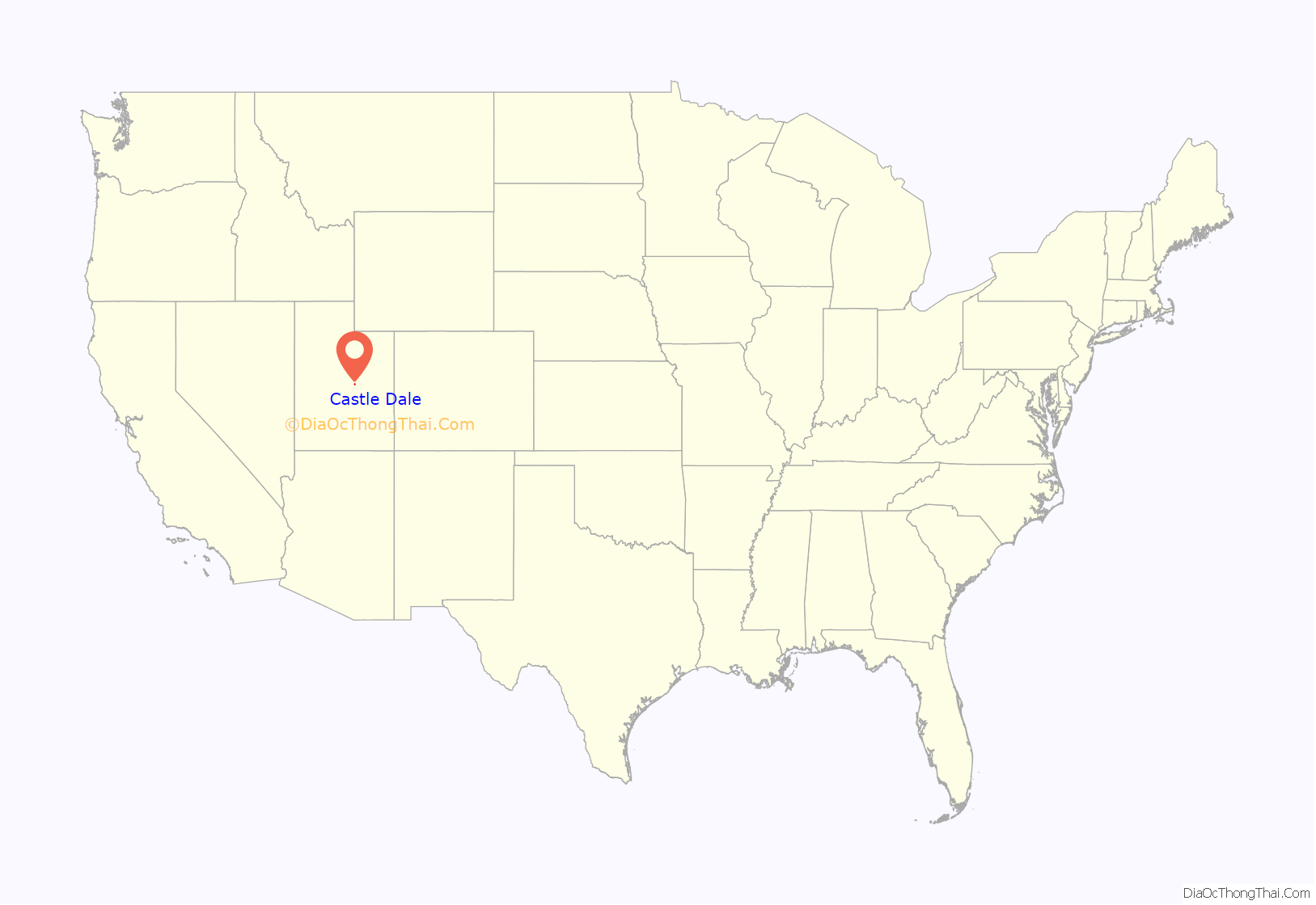
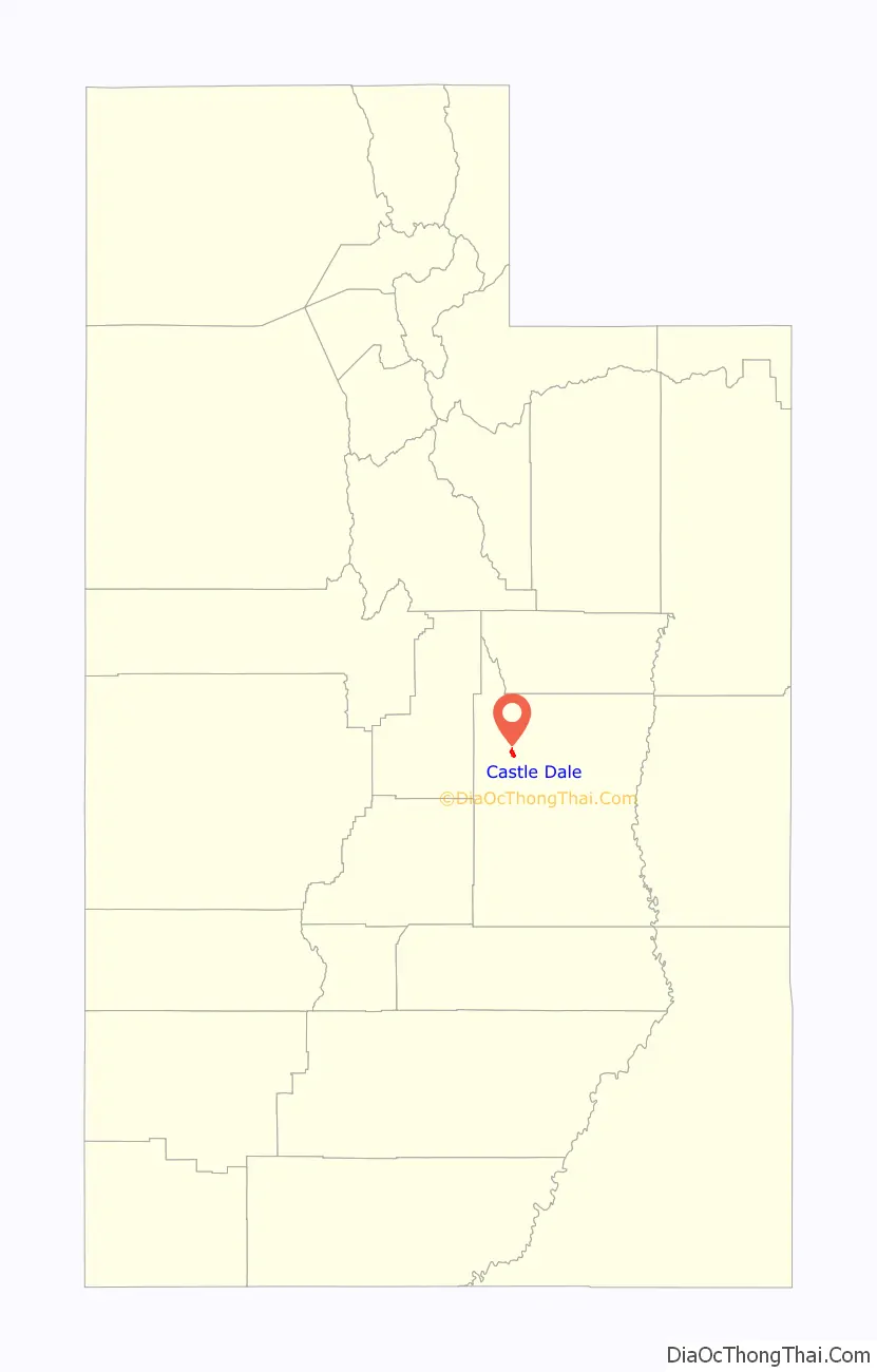
Castle Dale location map. Where is Castle Dale city?
History
The first settlement at Castle Dale was made in 1879.
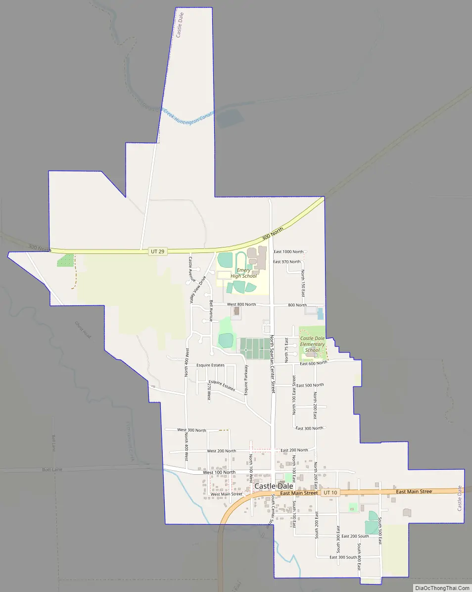
Castle Dale Road Map
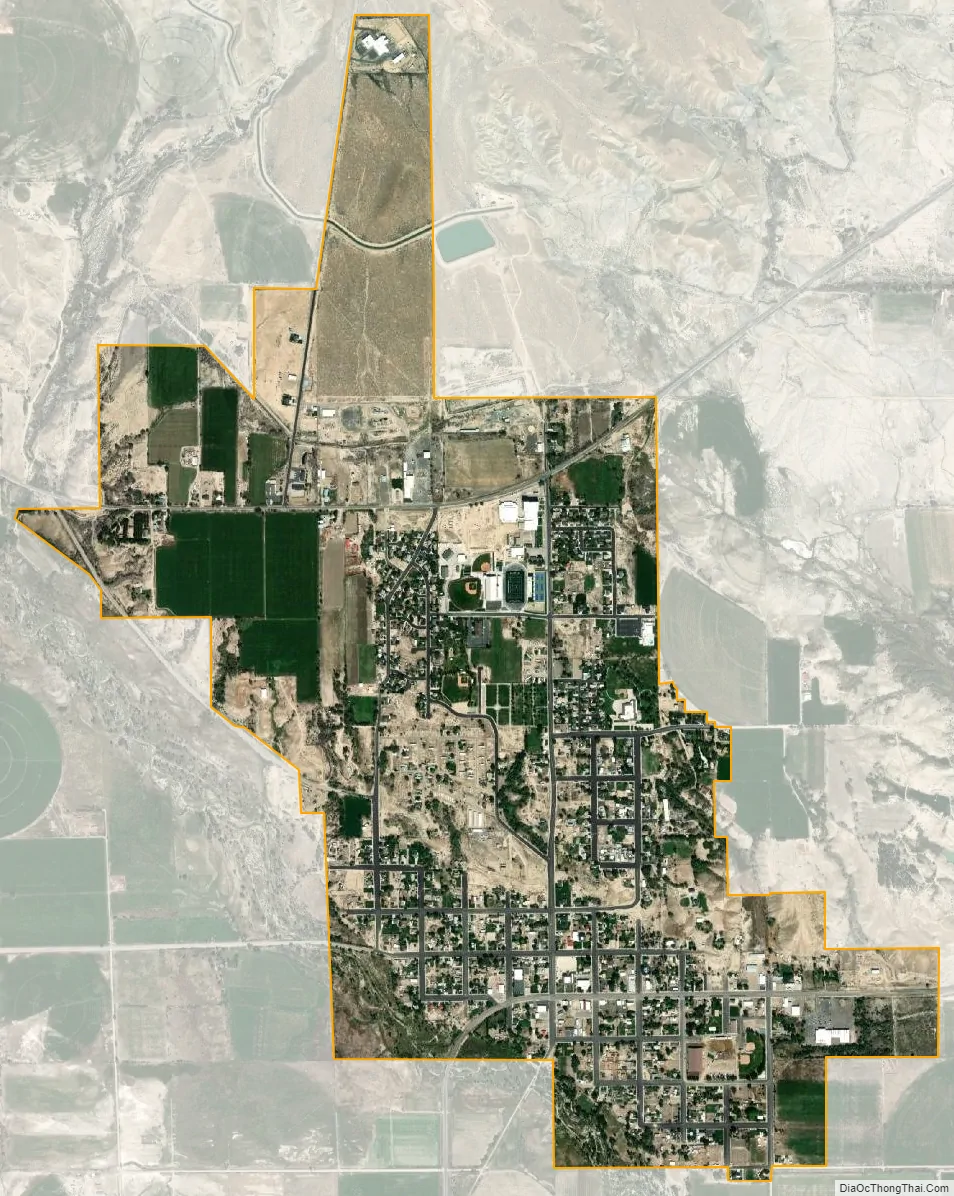
Castle Dale city Satellite Map
Geography
Castle Dale lies on the north side of Cottonwood Creek, a tributary of the San Rafael River, in Castle Valley.
According to the United States Census Bureau, the city has a total area of 2.2 square miles (5.6 km), all land.
Utah State Route 10 passes through the center of town, leading northeast 31 miles (50 km) to Price and southwest 37 miles (60 km) to Interstate 70.
See also
Map of Utah State and its subdivision: Map of other states:- Alabama
- Alaska
- Arizona
- Arkansas
- California
- Colorado
- Connecticut
- Delaware
- District of Columbia
- Florida
- Georgia
- Hawaii
- Idaho
- Illinois
- Indiana
- Iowa
- Kansas
- Kentucky
- Louisiana
- Maine
- Maryland
- Massachusetts
- Michigan
- Minnesota
- Mississippi
- Missouri
- Montana
- Nebraska
- Nevada
- New Hampshire
- New Jersey
- New Mexico
- New York
- North Carolina
- North Dakota
- Ohio
- Oklahoma
- Oregon
- Pennsylvania
- Rhode Island
- South Carolina
- South Dakota
- Tennessee
- Texas
- Utah
- Vermont
- Virginia
- Washington
- West Virginia
- Wisconsin
- Wyoming