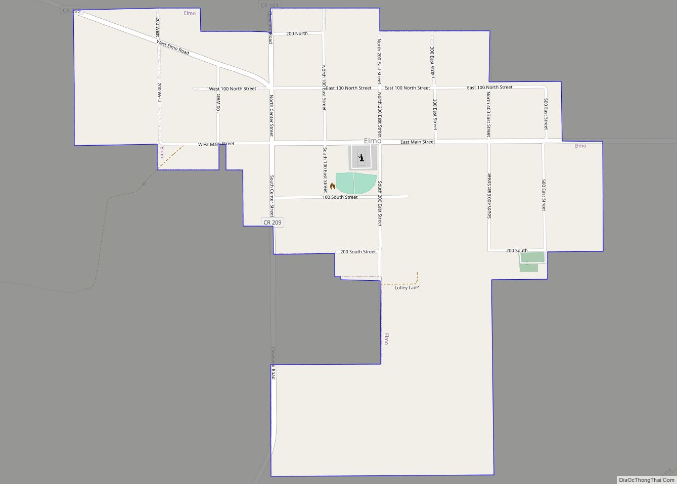
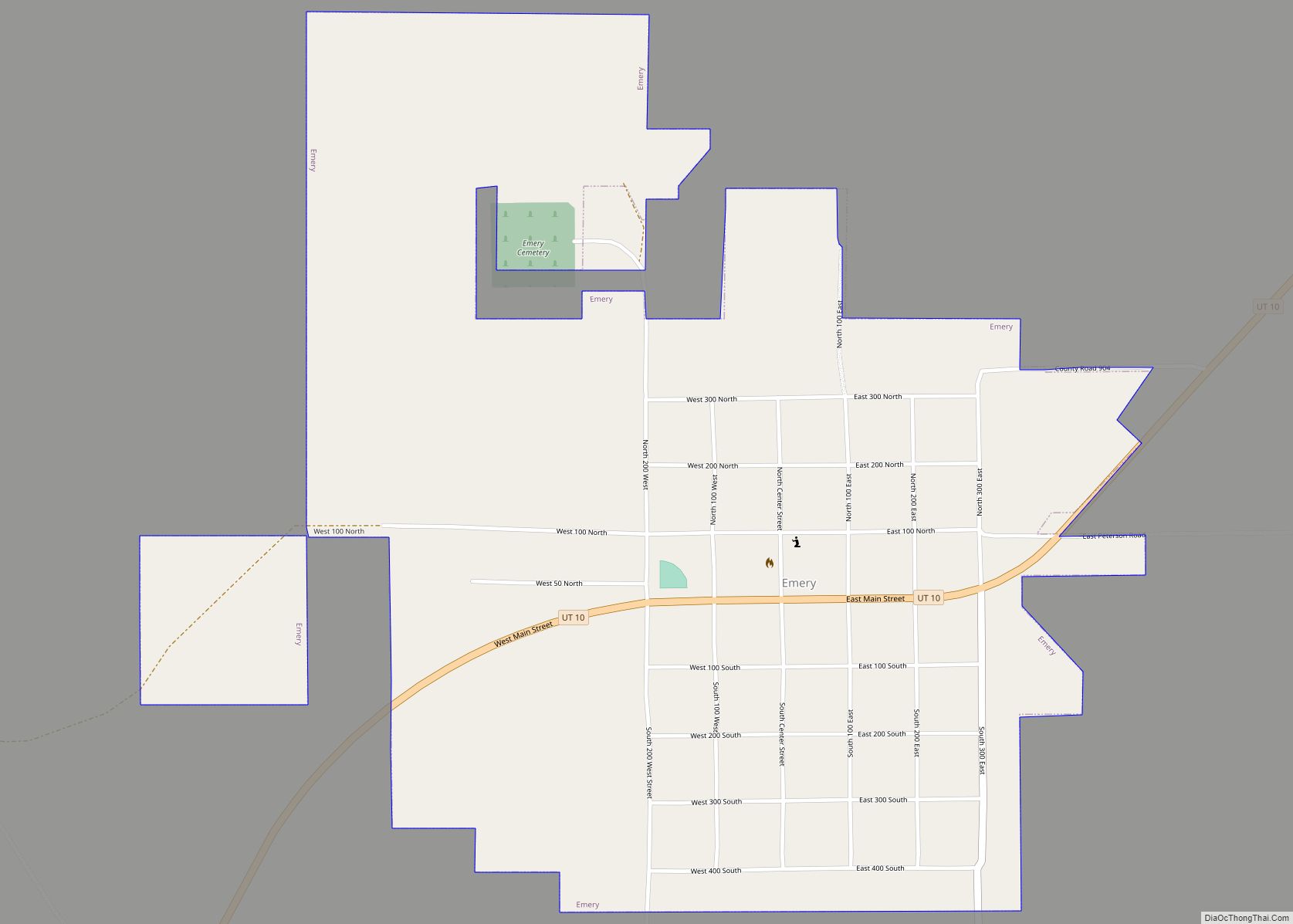
Map of Echo CDP, Utah
Echo is a census-designated place located in northwestern Summit County, Utah, United States. The population was 56 at the 2010 census. Echo was founded in 1854. The community took its name from nearby Echo Canyon. Echo CDP overview: Name: Echo CDP LSAD Code: 57 LSAD Description: CDP (suffix) State: Utah County: Summit County Elevation: 5,777 ft ... Read more
Map of Echo CDP, Utah
Map of Dutch John town
Dutch John is a town located in eastern Daggett County, Utah, United States, approximately 4 miles (6 km) northeast of the Flaming Gorge Dam on U.S. Route 191. The population was 145 at the 2010 census. Dutch John town overview: Name: Dutch John town LSAD Code: 43 LSAD Description: town (suffix) State: Utah County: Daggett County ... Read more
Map of Dutch John town
Map of Ephraim city, Utah
Ephraim is a city in Sanpete County, Utah, United States. The population was 5,611 at the 2020 census, making it the largest city in Sanpete County. It is the location of Snow College and is located along U.S. Route 89. Ephraim city overview: Name: Ephraim city LSAD Code: 25 LSAD Description: city (suffix) State: Utah ... Read more
Map of Ephraim city, Utah
Map of Enterprise CDP, Utah
Enterprise is a census-designated place (CDP) in northwestern Morgan County, Utah, United States. The population was 605 at the 2010 census. Enterprise CDP overview: Name: Enterprise CDP LSAD Code: 57 LSAD Description: CDP (suffix) State: Utah County: Morgan County Elevation: 5,246 ft (1,599 m) Total Area: 3.8 sq mi (10 km²) Land Area: 3.8 sq mi (10 km²) Water Area: 0.0 sq mi (0 km²) Total ... Read more
Map of Enterprise CDP, Utah
Map of Enoch city
Enoch is a city in Iron County, Utah, United States, and is located approximately 7 miles (11 km) northeast of Cedar City in the northeast part of Cedar Valley. The population was 5,803 at the 2010 census, up from 3,467 at the 2000 census. As of 2018 the estimated population was 7,039. Enoch city overview: Name: ... Read more
Map of Enoch city
Map of Emigration Canyon metro township
Emigration Canyon is a metro township and canyon in Salt Lake County, Utah, United States, located east of Salt Lake City in the Wasatch Range. Beginning at the southern end of the University of Utah, the canyon itself heads east and northeast between Salt Lake City and Morgan County. The boundaries of the metro township ... Read more
Map of Emigration Canyon metro township
Map of Emery town, Utah
Emery is a town in Emery County, Utah, United States. The population was 288 at the 2010 census. Emery town overview: Name: Emery town LSAD Code: 43 LSAD Description: town (suffix) State: Utah County: Emery County Elevation: 6,253 ft (1,906 m) Total Area: 1.23 sq mi (3.18 km²) Land Area: 1.23 sq mi (3.18 km²) Water Area: 0.00 sq mi (0.00 km²) Total Population: 288 Population ... Read more
Map of Emery town, Utah
Map of Elsinore town
Elsinore is a town in Sevier County, Utah, United States. The population was 847 at the 2010 census. Elsinore town overview: Name: Elsinore town LSAD Code: 43 LSAD Description: town (suffix) State: Utah County: Sevier County Elevation: 5,351 ft (1,631 m) Total Area: 1.33 sq mi (3.46 km²) Land Area: 1.33 sq mi (3.46 km²) Water Area: 0.00 sq mi (0.00 km²) Total Population: 847 Population ... Read more
Map of Elsinore town
Map of Eureka city, Utah
Eureka is a city in Juab County, Utah, United States. It is part of the Provo–Orem metropolitan area. The population was 669 at the 2010 census, down from 766 in 2000. The city was named from the Greek word eureka, meaning “I have found it!” Eureka city overview: Name: Eureka city LSAD Code: 25 LSAD ... Read more
Map of Eureka city, Utah
Map of Escalante city
Escalante (locally /ˌɛskəˈlænt(i)/ (listen)) is a city in central Garfield County, Utah, United States, located along Utah Scenic Byway 12 (SR-12) in the south-central part of the state. As of the 2010 census, 797 people were living in the city. The city is named after Silvestre Vélez de Escalante, a Franciscan missionary and a member ... Read more
Map of Escalante city
Map of Fort Duchesne CDP
Fort Duchesne /duːˈʃeɪn/ is a census-designated place (CDP) in Uintah County, Utah, United States. The population was 714 at the 2010 census, an increase from the 2000 figure of 621. Fort Duchesne was originally a fort, established by the United States Army in 1886 and closed in 1912. The community developed around it within the ... Read more
Map of Fort Duchesne CDP
Map of Flaming Gorge CDP
Flaming Gorge is a census-designated place in Daggett County, Utah, United States. The population was 83 at the 2010 census. Flaming Gorge CDP overview: Name: Flaming Gorge CDP LSAD Code: 57 LSAD Description: CDP (suffix) State: Utah County: Daggett County Elevation: 6,919 ft (2,109 m) Total Area: 2.289 sq mi (5.93 km²) Land Area: 2.281 sq mi (5.91 km²) Water Area: 0.008 sq mi (0.02 km²) ... Read more
Map of Flaming Gorge CDP