Flaming Gorge is a census-designated place in Daggett County, Utah, United States. The population was 83 at the 2010 census.
| Name: | Flaming Gorge CDP |
|---|---|
| LSAD Code: | 57 |
| LSAD Description: | CDP (suffix) |
| State: | Utah |
| County: | Daggett County |
| Elevation: | 6,919 ft (2,109 m) |
| Total Area: | 2.289 sq mi (5.93 km²) |
| Land Area: | 2.281 sq mi (5.91 km²) |
| Water Area: | 0.008 sq mi (0.02 km²) |
| Total Population: | 83 |
| Population Density: | 36/sq mi (14/km²) |
| Area code: | 435 |
| FIPS code: | 4925910 |
| GNISfeature ID: | 2584767 |
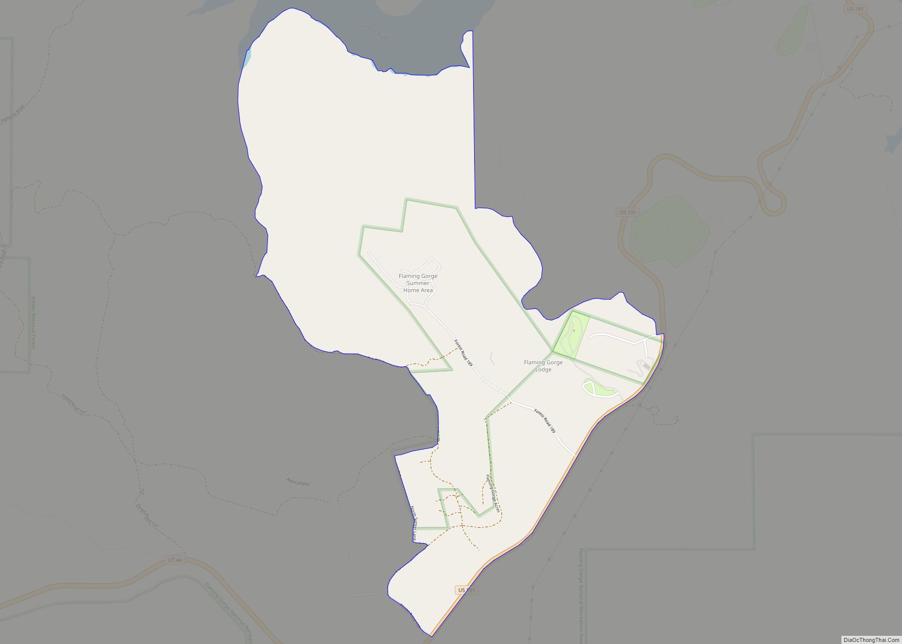
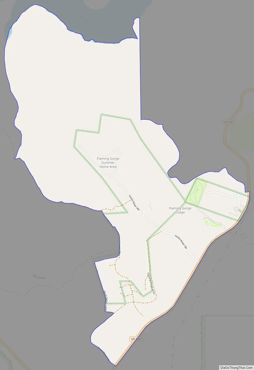
Online Interactive Map
Click on ![]() to view map in "full screen" mode.
to view map in "full screen" mode.
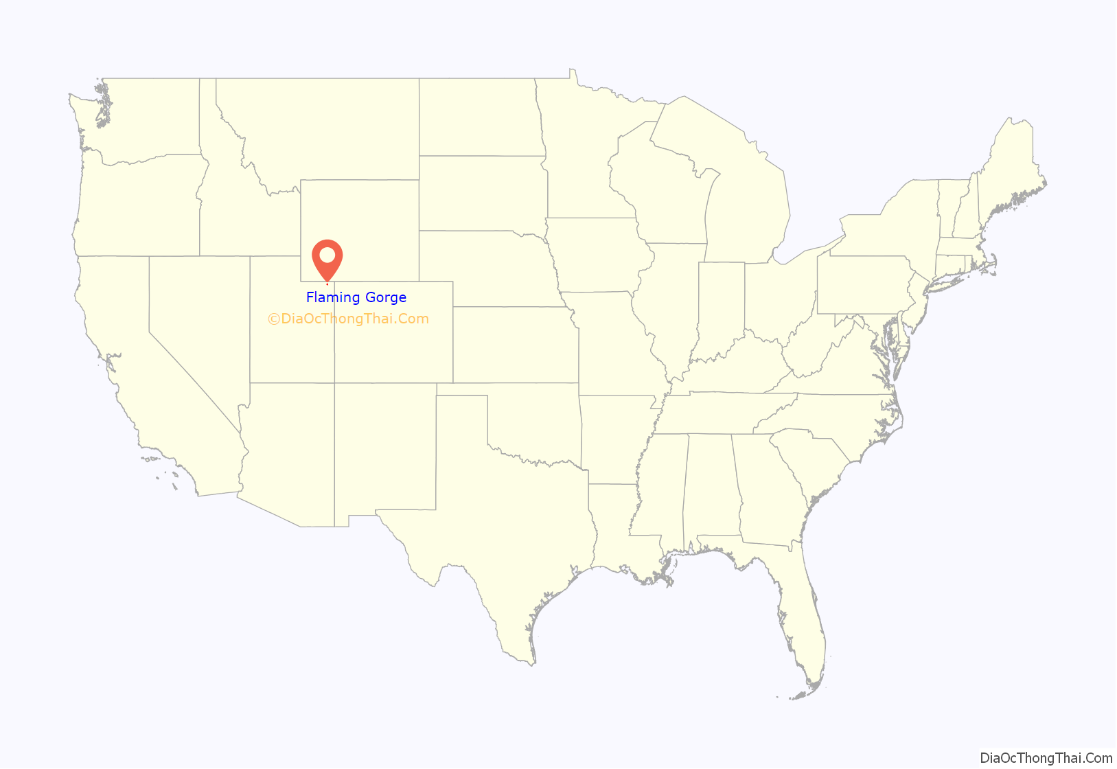
Flaming Gorge location map. Where is Flaming Gorge CDP?

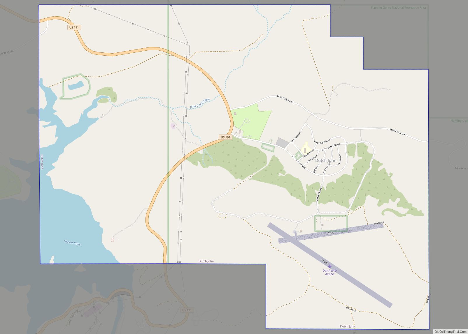
Flaming Gorge Road Map
Flaming Gorge city Satellite Map

Geography
The CDP is located in the Flaming Gorge National Recreation Area, south of Flaming Gorge Reservoir and north of Greendale Junction.
Climate
According to the Köppen Climate Classification system, Flaming Gorge has a warm-summer humid continental climate, abbreviated “Dfb” on climate maps. The hottest temperature recorded in Flaming Gorge was 102 °F (38.9 °C) on July 14, 2002, while the coldest temperature recorded was −38 °F (−38.9 °C) on January 12, 1963.
See also
Map of Utah State and its subdivision: Map of other states:- Alabama
- Alaska
- Arizona
- Arkansas
- California
- Colorado
- Connecticut
- Delaware
- District of Columbia
- Florida
- Georgia
- Hawaii
- Idaho
- Illinois
- Indiana
- Iowa
- Kansas
- Kentucky
- Louisiana
- Maine
- Maryland
- Massachusetts
- Michigan
- Minnesota
- Mississippi
- Missouri
- Montana
- Nebraska
- Nevada
- New Hampshire
- New Jersey
- New Mexico
- New York
- North Carolina
- North Dakota
- Ohio
- Oklahoma
- Oregon
- Pennsylvania
- Rhode Island
- South Carolina
- South Dakota
- Tennessee
- Texas
- Utah
- Vermont
- Virginia
- Washington
- West Virginia
- Wisconsin
- Wyoming