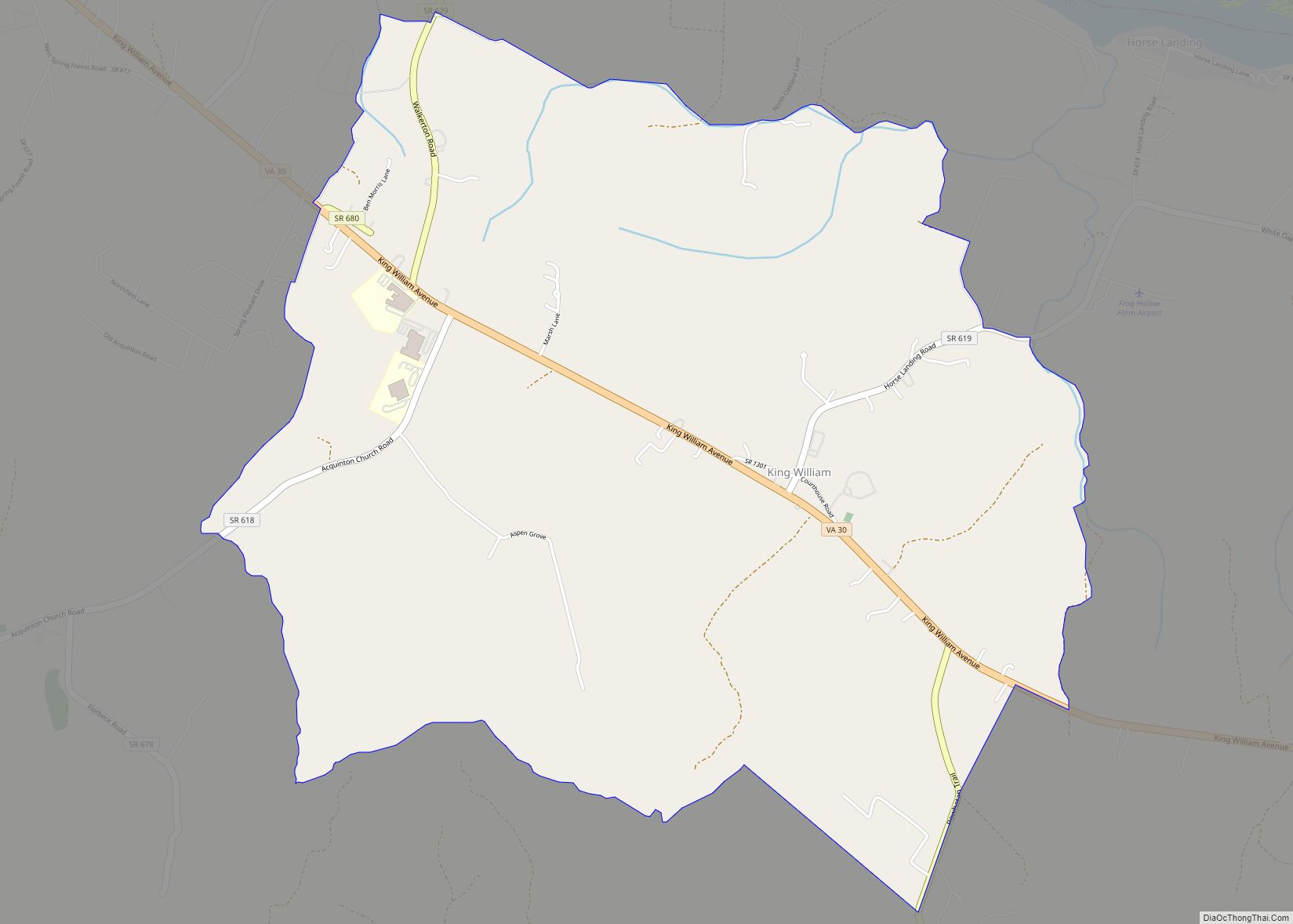
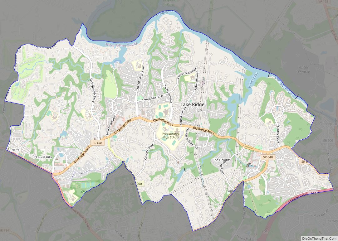
King George is a census-designated place (CDP) in and the county seat of King George County, Virginia, United States. It is sometimes referred to as King George Courthouse, because it is the location of the King George County Courthouse. The population as of the 2020 census was 4,970. The Journal Press was a local weekly ... Read more
Virginia Cities and Places
King and Queen Court House is a census-designated place (CDP) in, and the county seat of King and Queen County, Virginia, United States. The population as of the 2010 census was 85. The community runs along State Route 14, on the north side of the valley of the Mattaponi River. King and Queen Court House ... Read more
Kilmarnock is a town in Lancaster and Northumberland counties in the U.S. Commonwealth of Virginia. The population was 1,487 at the 2010 census. It is located near the mouth of the Rappahannock River and is located within the Northern Neck George Washington Birthplace American Viticultural Area winemaking appellation. There is a small hospital in the ... Read more
Keysville is a town in Charlotte County, Virginia, United States. The population was 832 at the 2010 census. One of two branches of Southside Virginia Community College is in Keysville. The surrounding area has tobacco and mixed farming. Keysville town overview: Name: Keysville town LSAD Code: 43 LSAD Description: town (suffix) State: Virginia County: Charlotte ... Read more
Keokee is an unincorporated community and census-designated place (CDP) in Lee County, Virginia, United States. The population was 416 at the 2010 census. Keokee CDP overview: Name: Keokee CDP LSAD Code: 57 LSAD Description: CDP (suffix) State: Virginia County: Lee County Elevation: 2,080 ft (634 m) Total Area: 4.81 sq mi (12.46 km²) Land Area: 4.71 sq mi (12.20 km²) Water Area: 0.10 sq mi ... Read more
La Crosse is a town in Mecklenburg County, Virginia, United States. Its name is derived from the fact that it was a place where railroads once crossed, and there is still a caboose in the center of the town. La Crosse is adjacent to the neighboring town South Hill. The town’s population was 604 at ... Read more
Lakeside is a census-designated place (CDP) in Henrico County, Virginia, United States. It is an inner suburb of Richmond, Virginia. The population was 11,849 at the 2010 census. Lakeside CDP overview: Name: Lakeside CDP LSAD Code: 57 LSAD Description: CDP (suffix) State: Virginia County: Henrico County Elevation: 177 ft (54 m) Total Area: 4.4 sq mi (11.4 km²) Land Area: ... Read more
Lake Wilderness is a census-designated place in Spotsylvania County, Virginia. The population as of the 2010 Census was 2,669. It is flanked on three sides by the Wilderness Battlefield section of the Fredericksburg and Spotsylvania National Military Park. Lake Wilderness CDP overview: Name: Lake Wilderness CDP LSAD Code: 57 LSAD Description: CDP (suffix) State: Virginia ... Read more
Lake Ridge is a census-designated place (CDP) in Prince William County, Virginia, United States. It is an annex of Woodbridge, Virginia. The population was 41,058 at the 2010 census, an increase of 35% from 2000. Lake Ridge CDP overview: Name: Lake Ridge CDP LSAD Code: 57 LSAD Description: CDP (suffix) State: Virginia County: Prince William ... Read more
Lake of the Woods is a census-designated place in Locust Grove, Orange County, Virginia. It is a gated subdivision covering approximately 2,600 acres with 4,260 lots (850 with lake frontage) distributed among 16 sections (many named after well-known southern names and landmarks). It includes more than 41 miles of paved private roads. Lake of the ... Read more
Lake Monticello CDP overview: Name: Lake Monticello CDP LSAD Code: 57 LSAD Description: CDP (suffix) State: Virginia County: Fluvanna County FIPS code: 5143424 Online Interactive Map Lake Monticello online map. Source: Basemap layers from Google Map, Open Street Map (OSM), Arcgisonline, Wmflabs. Boundary Data from Database of Global Administrative Areas. Lake Monticello location map. Where ... Read more
Lake Land’Or is a census-designated place in Caroline County, Virginia, United States. The population as of the 2010 census was 4,223. It is a gated subdivision built around the eponymous man-made lake and numerous smaller lakes and ponds, about 2 miles (3 km) west of Ladysmith. Lake Land’Or CDP overview: Name: Lake Land’Or CDP LSAD Code: ... Read more