Lake Ridge is a census-designated place (CDP) in Prince William County, Virginia, United States. It is an annex of Woodbridge, Virginia. The population was 41,058 at the 2010 census, an increase of 35% from 2000.
| Name: | Lake Ridge CDP |
|---|---|
| LSAD Code: | 57 |
| LSAD Description: | CDP (suffix) |
| State: | Virginia |
| County: | Prince William County |
| Elevation: | 279 ft (85 m) |
| Total Area: | 8.6 sq mi (22.4 km²) |
| Land Area: | 8.2 sq mi (21.3 km²) |
| Water Area: | 0.4 sq mi (1.0 km²) |
| Total Population: | 41,058 |
| Population Density: | 4,800/sq mi (1,800/km²) |
| ZIP code: | 22192 |
| Area code: | 571, 703 |
| FIPS code: | 5143432 |
| GNISfeature ID: | 1867592 |
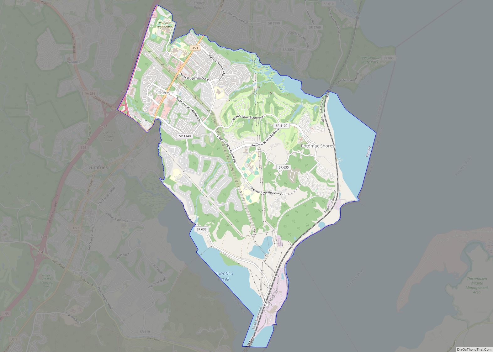
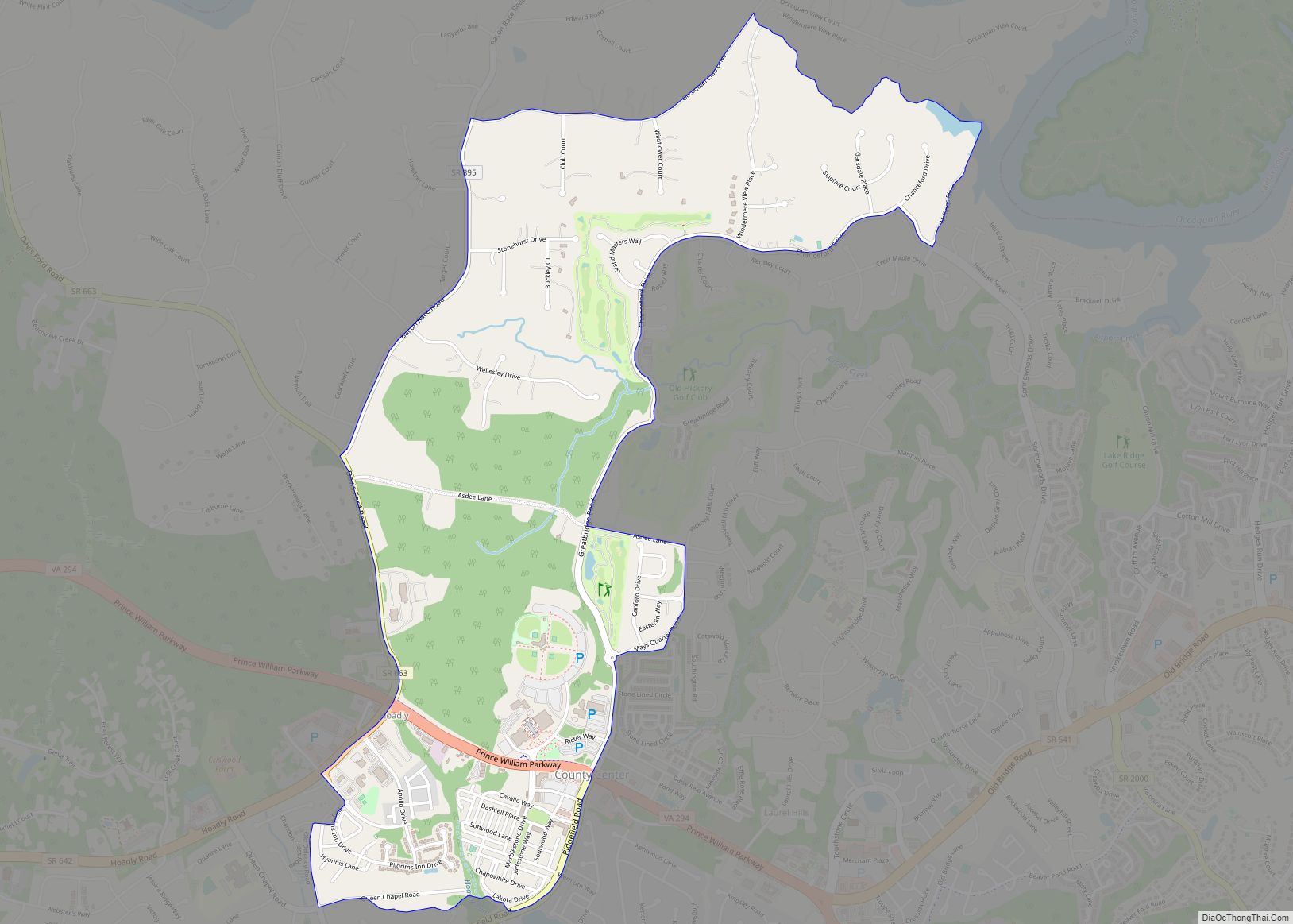
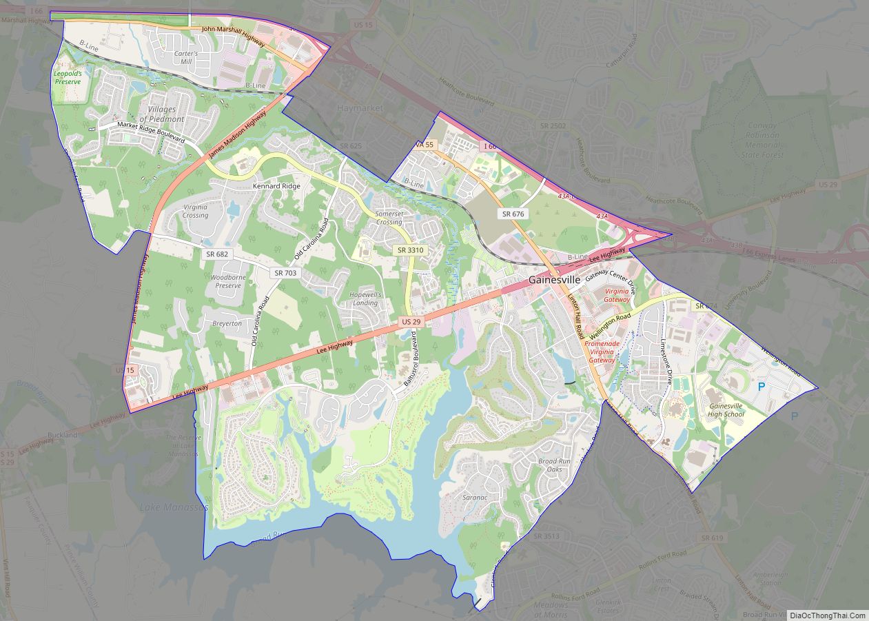
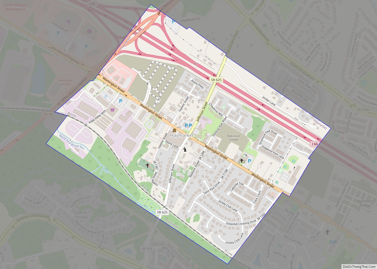
Online Interactive Map
Click on ![]() to view map in "full screen" mode.
to view map in "full screen" mode.
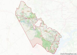
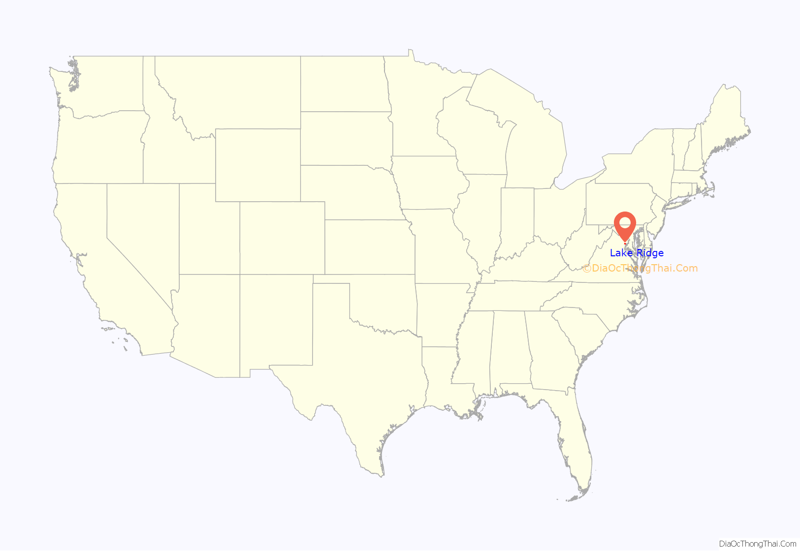
Lake Ridge location map. Where is Lake Ridge CDP?
History
Lake Ridge was started in the late 1960s when Sorensen Construction Corporation began building in the area now known as East Lake Ridge.
By 1969, the first five developments had begun, named Thousand Oaks, The Point, Plantation Harbor, The Village of Lake Ridge, and The Hamlet.
Lake Ridge Parks and Recreation was formed in 1972 as the HOA for the area. The community grew rapidly throughout the 70s and 80s from about 3350 homes in 1983 to approximately 6600 in 1990. Lake Ridge as it is now was completed in the late 1990s with the completion of Ridgeleigh. Lake Ridge has about 7700 housing units, in more than 70 subdivisions and 9 condominium complexes. Most of the houses were built after 1972.
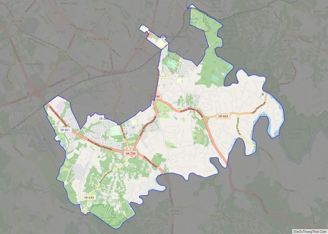
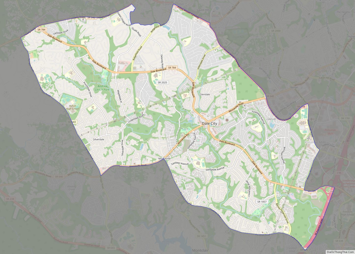
Lake Ridge Road Map

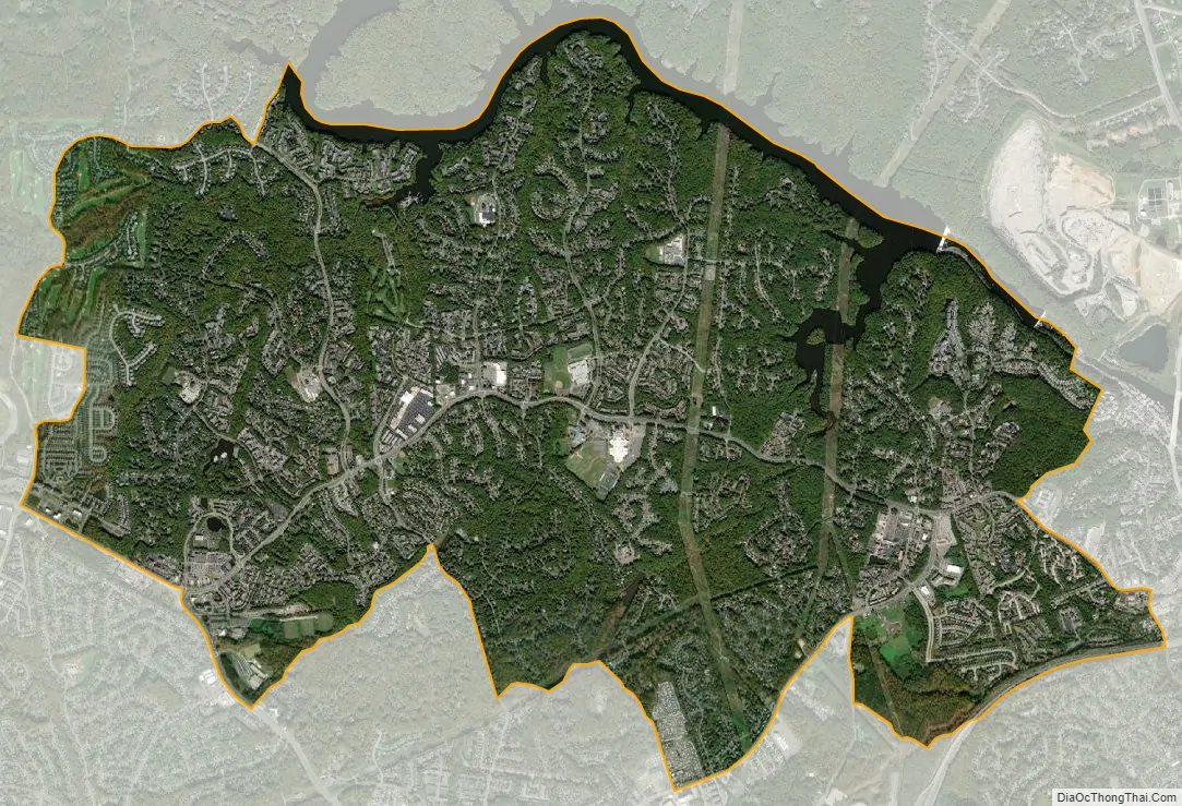
Lake Ridge city Satellite Map
Geography
Lake Ridge is at 38°41′17″N 77°18′32″W / 38.68806°N 77.30889°W / 38.68806; -77.30889 (38.688190, −77.308953), along Old Bridge Road between Harbor Drive and Westridge Drive.
According to the United States Census Bureau, the CDP has a total area of 8.6 square miles (22.4 km), of which, 8.2 square miles (21.3 km) of it is land and 0.4 square miles (1.0 km) of it (4.63%) is water.
See also
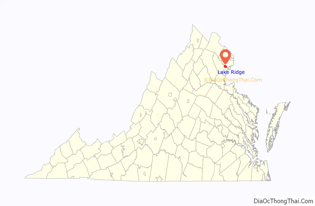
Map of Virginia State and its subdivision:- Accomack
- Albemarle
- Alexandria
- Alleghany
- Amelia
- Amherst
- Appomattox
- Arlington
- Augusta
- Bath
- Bedford
- Bedford City
- Bland
- Botetourt
- Bristol
- Brunswick
- Buchanan
- Buckingham
- Buena Vista
- Campbell
- Caroline
- Carroll
- Charles City
- Charlotte
- Charlottesville
- Chesapeake
- Chesterfield
- Clarke
- Clifton Forge City
- Colonial Heights
- Covington
- Craig
- Culpeper
- Cumberland
- Danville
- Dickenson
- Dinwiddie
- Emporia
- Essex
- Fairfax
- Fairfax City
- Falls Church
- Fauquier
- Floyd
- Fluvanna
- Franklin
- Frederick
- Fredericksburg
- Galax
- Giles
- Gloucester
- Goochland
- Grayson
- Greene
- Greensville
- Halifax
- Hampton
- Hanover
- Harrisonburg
- Henrico
- Henry
- Highland
- Hopewell
- Isle of Wight
- James City
- King and Queen
- King George
- King William
- Lancaster
- Lee
- Lexington
- Loudoun
- Louisa
- Lunenburg
- Lynchburg
- Madison
- Manassas
- Manassas Park
- Martinsville
- Mathews
- Mecklenburg
- Middlesex
- Montgomery
- Nelson
- New Kent
- Newport News
- Norfolk
- Northampton
- Northumberland
- Norton
- Nottoway
- Orange
- Page
- Patrick
- Petersburg
- Pittsylvania
- Poquoson
- Portsmouth
- Powhatan
- Prince Edward
- Prince George
- Prince William
- Pulaski
- Radford
- Rappahannock
- Richmond
- Roanoke
- Roanoke City
- Rockbridge
- Rockingham
- Russell
- Salem
- Scott
- Shenandoah
- Smyth
- Southampton
- Spotsylvania
- Stafford
- Staunton
- Suffolk
- Surry
- Sussex
- Tazewell
- Virginia Beach
- Warren
- Washington
- Waynesboro
- Westmoreland
- Williamsburg
- Winchester
- Wise
- Wythe
- York
- Alabama
- Alaska
- Arizona
- Arkansas
- California
- Colorado
- Connecticut
- Delaware
- District of Columbia
- Florida
- Georgia
- Hawaii
- Idaho
- Illinois
- Indiana
- Iowa
- Kansas
- Kentucky
- Louisiana
- Maine
- Maryland
- Massachusetts
- Michigan
- Minnesota
- Mississippi
- Missouri
- Montana
- Nebraska
- Nevada
- New Hampshire
- New Jersey
- New Mexico
- New York
- North Carolina
- North Dakota
- Ohio
- Oklahoma
- Oregon
- Pennsylvania
- Rhode Island
- South Carolina
- South Dakota
- Tennessee
- Texas
- Utah
- Vermont
- Virginia
- Washington
- West Virginia
- Wisconsin
- Wyoming