Keysville is a town in Charlotte County, Virginia, United States. The population was 832 at the 2010 census. One of two branches of Southside Virginia Community College is in Keysville. The surrounding area has tobacco and mixed farming.
| Name: | Keysville town |
|---|---|
| LSAD Code: | 43 |
| LSAD Description: | town (suffix) |
| State: | Virginia |
| County: | Charlotte County |
| Elevation: | 676 ft (206 m) |
| Total Area: | 1.18 sq mi (3.05 km²) |
| Land Area: | 1.18 sq mi (3.05 km²) |
| Water Area: | 0.00 sq mi (0.00 km²) |
| Total Population: | 832 |
| Population Density: | 664.12/sq mi (256.39/km²) |
| ZIP code: | 23947 |
| Area code: | 434 |
| FIPS code: | 5142264 |
| GNISfeature ID: | 1468986 |
| Website: | www.townofkeysville.com |
Online Interactive Map
Click on ![]() to view map in "full screen" mode.
to view map in "full screen" mode.
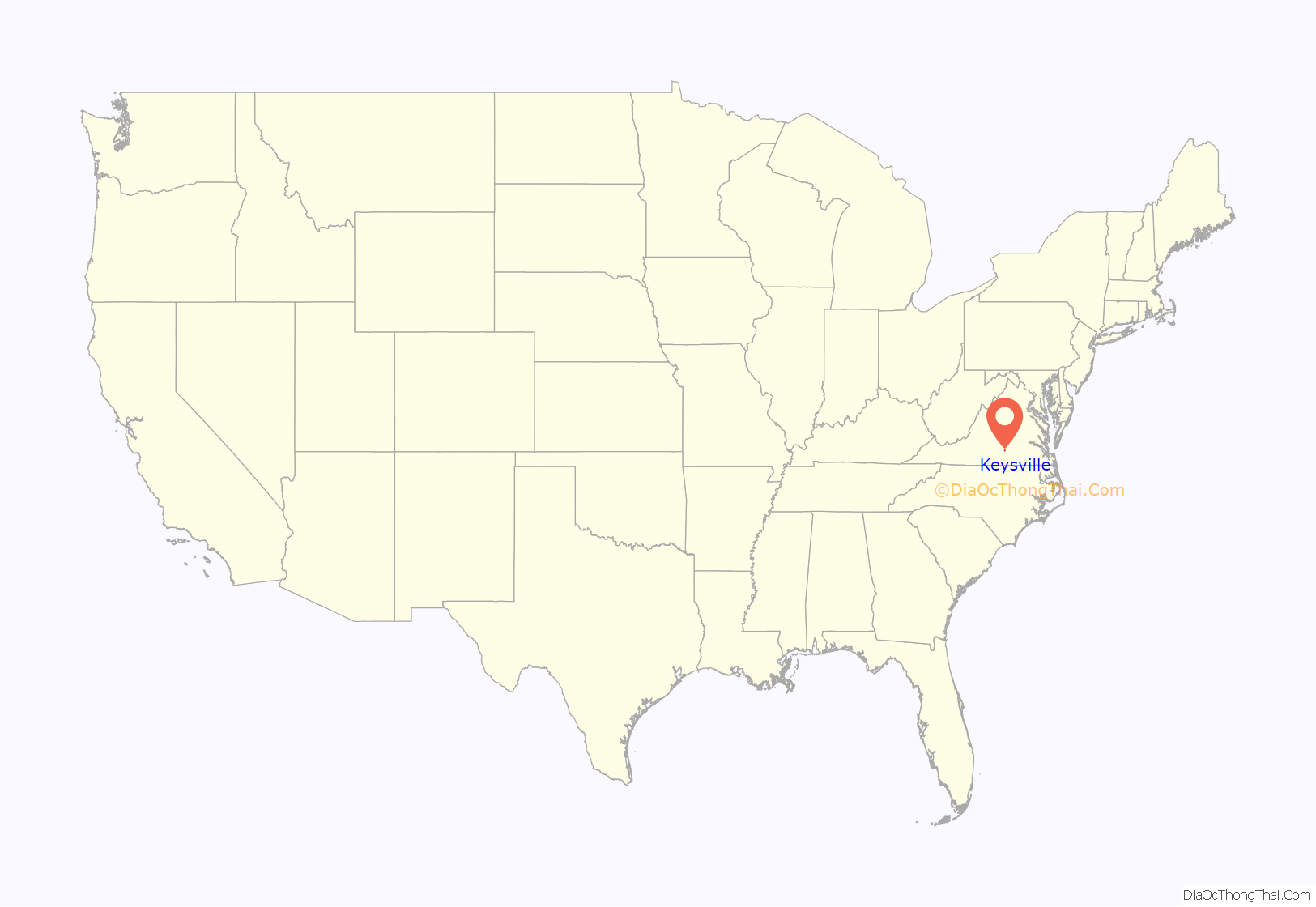
Keysville location map. Where is Keysville town?
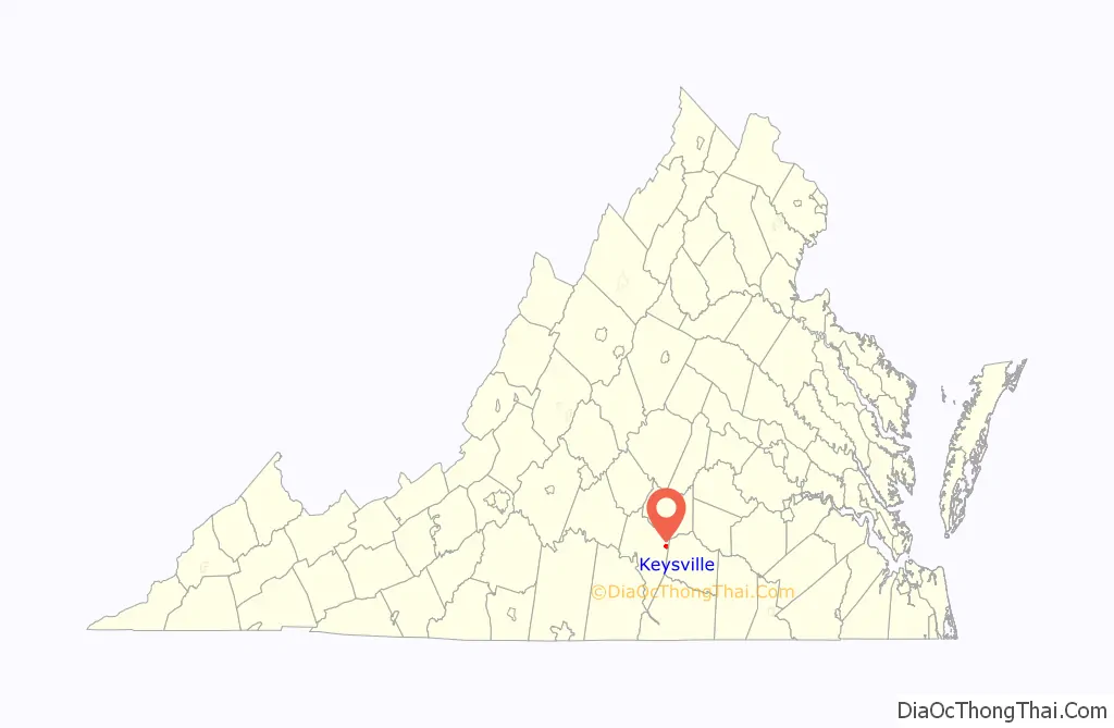
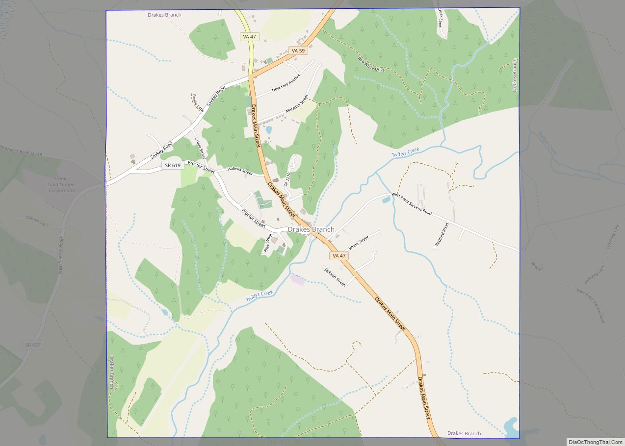
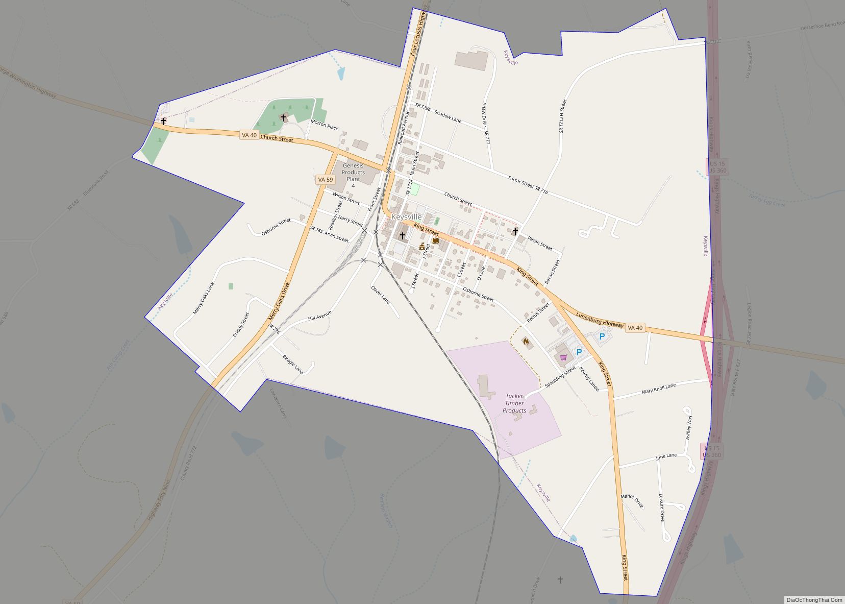
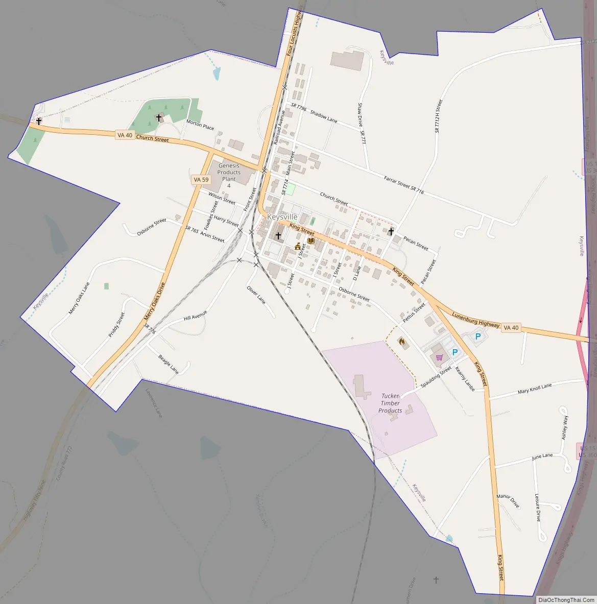
Keysville Road Map
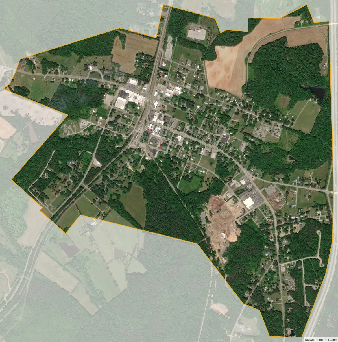
Keysville city Satellite Map
Geography
Keysville is in eastern Charlotte County. U.S. Routes 15 and U.S. Route 360, a four-lane highway, forms the eastern border of the town, while Virginia State Route 40 passes through the center. US 15 leads north 20 miles (32 km) to Farmville, and US 360 leads northeast 20 miles (32 km) to Burkeville. The two routes together lead southwest 15 miles (24 km) to their split at Wylliesburg. Route 40 leads east 18 miles (29 km) to Victoria and west 9 miles (14 km) to Charlotte Court House.
According to the United States Census Bureau, Keysville has a total area of 1.2 square miles (3.0 km), all of it land.
See also
Map of Virginia State and its subdivision:- Accomack
- Albemarle
- Alexandria
- Alleghany
- Amelia
- Amherst
- Appomattox
- Arlington
- Augusta
- Bath
- Bedford
- Bedford City
- Bland
- Botetourt
- Bristol
- Brunswick
- Buchanan
- Buckingham
- Buena Vista
- Campbell
- Caroline
- Carroll
- Charles City
- Charlotte
- Charlottesville
- Chesapeake
- Chesterfield
- Clarke
- Clifton Forge City
- Colonial Heights
- Covington
- Craig
- Culpeper
- Cumberland
- Danville
- Dickenson
- Dinwiddie
- Emporia
- Essex
- Fairfax
- Fairfax City
- Falls Church
- Fauquier
- Floyd
- Fluvanna
- Franklin
- Frederick
- Fredericksburg
- Galax
- Giles
- Gloucester
- Goochland
- Grayson
- Greene
- Greensville
- Halifax
- Hampton
- Hanover
- Harrisonburg
- Henrico
- Henry
- Highland
- Hopewell
- Isle of Wight
- James City
- King and Queen
- King George
- King William
- Lancaster
- Lee
- Lexington
- Loudoun
- Louisa
- Lunenburg
- Lynchburg
- Madison
- Manassas
- Manassas Park
- Martinsville
- Mathews
- Mecklenburg
- Middlesex
- Montgomery
- Nelson
- New Kent
- Newport News
- Norfolk
- Northampton
- Northumberland
- Norton
- Nottoway
- Orange
- Page
- Patrick
- Petersburg
- Pittsylvania
- Poquoson
- Portsmouth
- Powhatan
- Prince Edward
- Prince George
- Prince William
- Pulaski
- Radford
- Rappahannock
- Richmond
- Roanoke
- Roanoke City
- Rockbridge
- Rockingham
- Russell
- Salem
- Scott
- Shenandoah
- Smyth
- Southampton
- Spotsylvania
- Stafford
- Staunton
- Suffolk
- Surry
- Sussex
- Tazewell
- Virginia Beach
- Warren
- Washington
- Waynesboro
- Westmoreland
- Williamsburg
- Winchester
- Wise
- Wythe
- York
- Alabama
- Alaska
- Arizona
- Arkansas
- California
- Colorado
- Connecticut
- Delaware
- District of Columbia
- Florida
- Georgia
- Hawaii
- Idaho
- Illinois
- Indiana
- Iowa
- Kansas
- Kentucky
- Louisiana
- Maine
- Maryland
- Massachusetts
- Michigan
- Minnesota
- Mississippi
- Missouri
- Montana
- Nebraska
- Nevada
- New Hampshire
- New Jersey
- New Mexico
- New York
- North Carolina
- North Dakota
- Ohio
- Oklahoma
- Oregon
- Pennsylvania
- Rhode Island
- South Carolina
- South Dakota
- Tennessee
- Texas
- Utah
- Vermont
- Virginia
- Washington
- West Virginia
- Wisconsin
- Wyoming