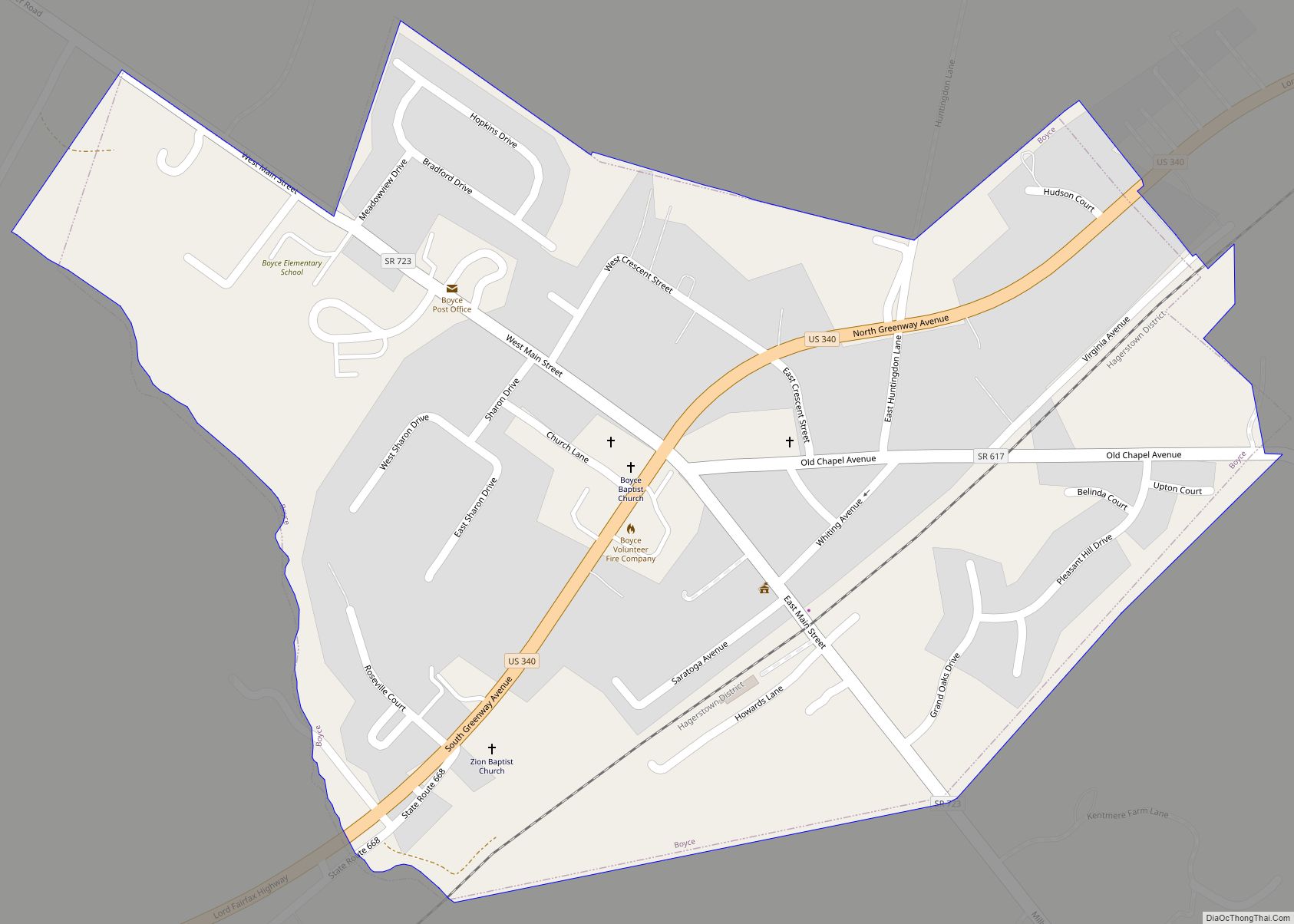
Boyce is a town in Clarke County, Virginia, United States. The population was 749 at the 2020 census, up from 589 at the 2010 census. Boyce town overview: Name: Boyce town LSAD Code: 43 LSAD Description: town (suffix) State: Virginia County: Clarke County Elevation: 597 ft (182 m) Total Area: 0.37 sq mi (0.95 km²) Land Area: 0.37 sq mi (0.95 km²) Water ... Read more
Virginia Cities and Places
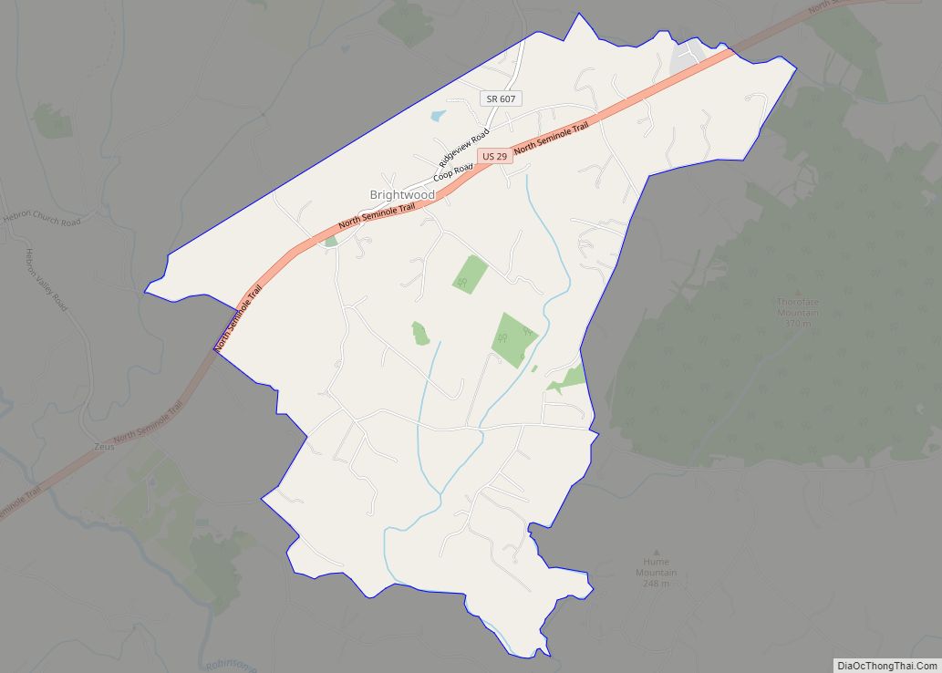
Brightwood is a census-designated place (CDP) in Madison County, Virginia. Its ZIP Code is 22715. The population as of the 2020 Census was 1,064. Brightwood CDP overview: Name: Brightwood CDP LSAD Code: 57 LSAD Description: CDP (suffix) State: Virginia County: Madison County FIPS code: 5109752 Online Interactive Map Brightwood online map. Source: Basemap layers from ... Read more
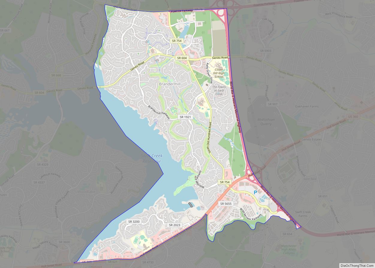
Brandermill is a major suburban residential and commercial development in the Southside of Richmond, Virginia. It is located near Midlothian, Virginia at the southern terminus of the Powhite Parkway and is centered on the Swift Creek Reservoir. The Census Bureau defines it as a Census-designated place (CDP), with a population of 13,173 as of the ... Read more
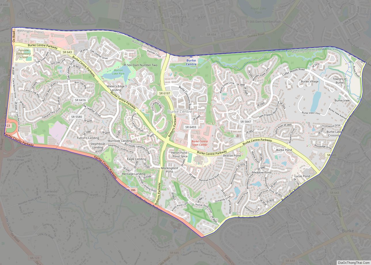
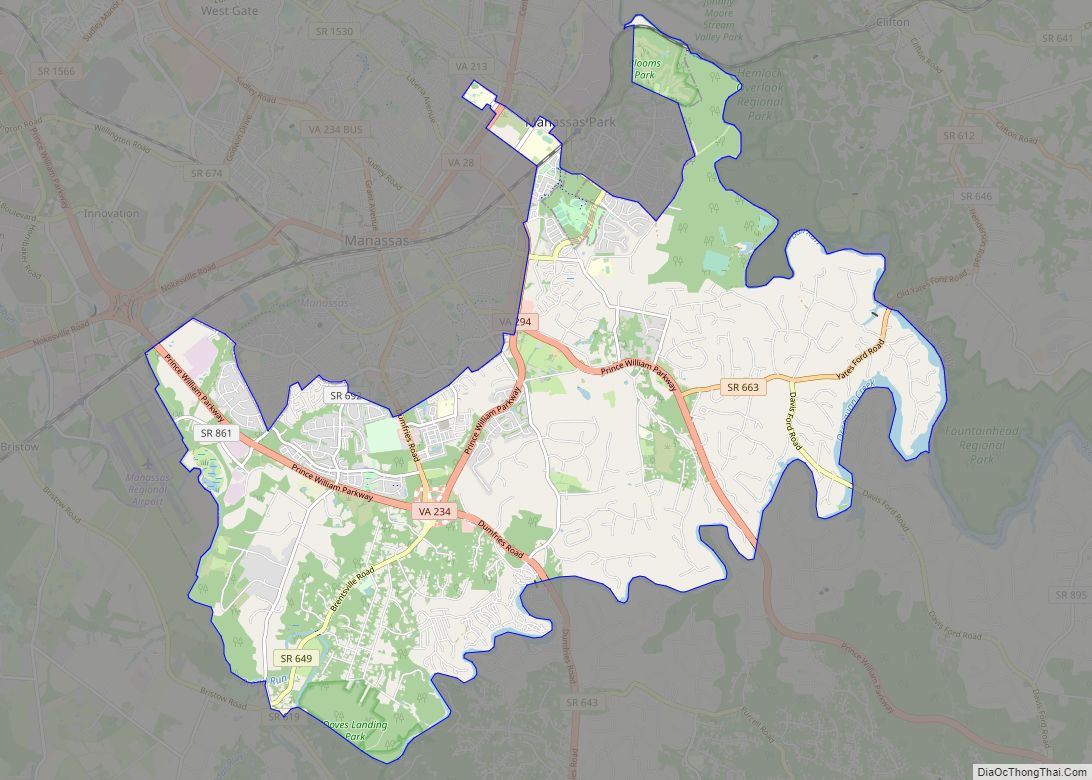
Burke Centre is a planned residential community located west of Burke in Fairfax County, Virginia, United States. Burke Centre is a planned community managed by the Burke Centre Conservancy homeowners’ association (HOA). Burke Centre is also the name of a census-designated place (CDP). The CDP boundaries extend beyond the planned community limits. As of the ... Read more
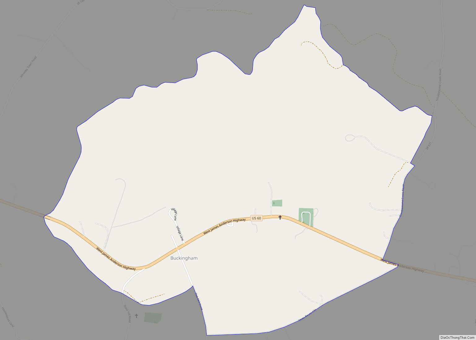
Buckingham Courthouse CDP overview: Name: Buckingham Courthouse CDP LSAD Code: 57 LSAD Description: CDP (suffix) State: Virginia County: Buckingham County FIPS code: 5110856 Online Interactive Map Buckingham Courthouse online map. Source: Basemap layers from Google Map, Open Street Map (OSM), Arcgisonline, Wmflabs. Boundary Data from Database of Global Administrative Areas. Buckingham Courthouse location map. Where ... Read more
Buckhall, Virginia is an unincorporated community in the census-designated place (CDP) of the same name, in Prince William County, Virginia. Its population of was 20,420 as of the 2020 Census. Buckhall CDP overview: Name: Buckhall CDP LSAD Code: 57 LSAD Description: CDP (suffix) State: Virginia County: Prince William County Total Area: 20,420 ZIP code: 20111 ... Read more
Buchanan (/bəˈkænən/ bə-KAN-ən) is a town in Botetourt County, Virginia, United States. The population was 1,196 at the 2020 census. It is part of the Roanoke Metropolitan Statistical Area. It was the western terminus of the James River and Kanawha Canal when construction on the canal ended. Buchanan town overview: Name: Buchanan town LSAD Code: ... Read more
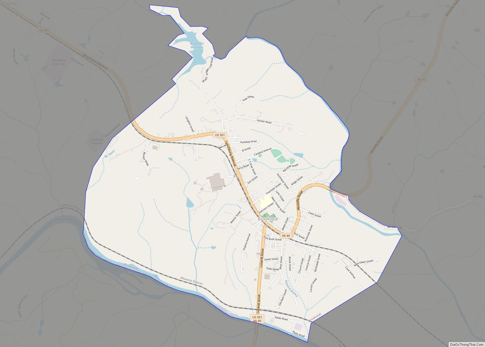
Brookneal is an incorporated town in Campbell County, Virginia, United States. The population was 1,112 as of the 2010 census. It is part of the Lynchburg Metropolitan Statistical Area. Brookneal town overview: Name: Brookneal town LSAD Code: 43 LSAD Description: town (suffix) State: Virginia County: Campbell County Elevation: 568 ft (173 m) Total Area: 3.59 sq mi (9.30 km²) Land ... Read more
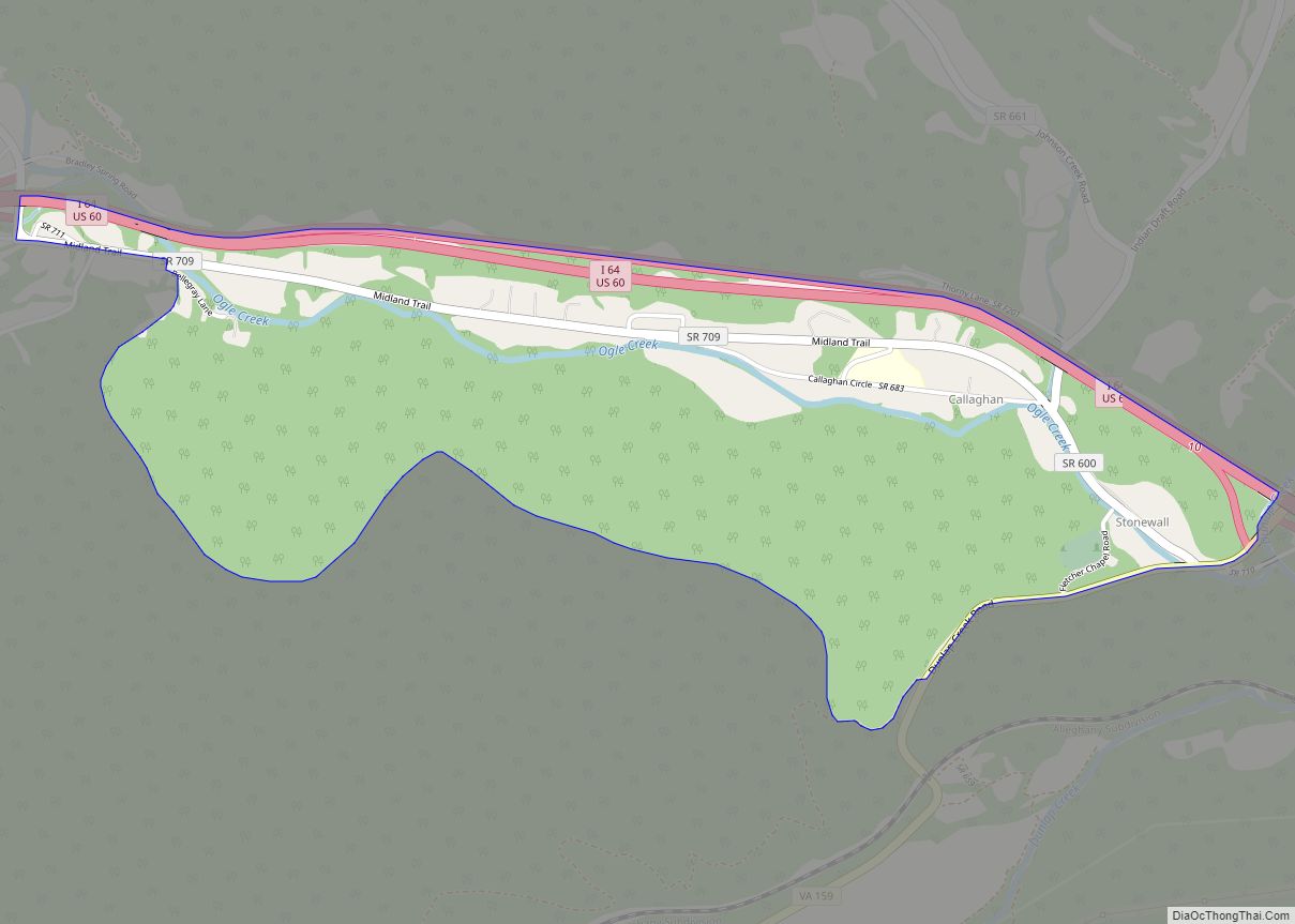
Callaghan is an Unincorporated community and census-designated place (CDP) in Alleghany County, Virginia, United States. The population as of the 2010 Census was 348. Humpback Covered Bridge and Wood Hall are listed on the U.S. National Register of Historic Places. Callaghan CDP overview: Name: Callaghan CDP LSAD Code: 57 LSAD Description: CDP (suffix) State: Virginia ... Read more
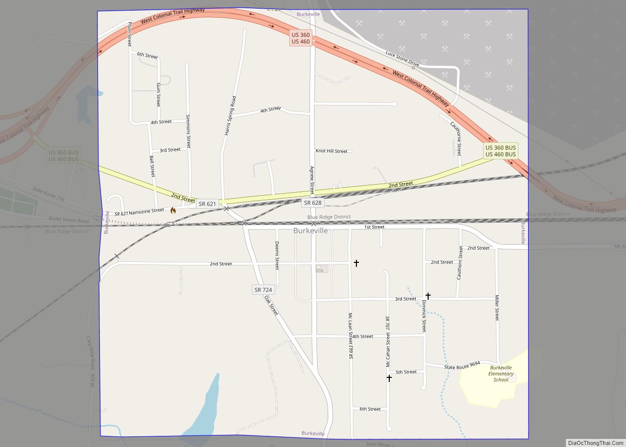
Burkeville is a town in Nottoway County, Virginia, United States. The population was 432 at the 2010 census. The source of the town name is disputed. The town is located on the crossroads of U.S. Routes 360 and 460. Businesses in the small town of Burkeville include a stone quarry, a Southern States Cooperative store, ... Read more
Carrollton is a census-designated place (CDP) in Isle of Wight County, Virginia, United States. The population as of the 2010 census was 4,574. Carrollton is located near the southern end of the James River Bridge across from Newport News. Carrollton has recently experienced growth as a bedroom community. Carrollton CDP overview: Name: Carrollton CDP LSAD ... Read more
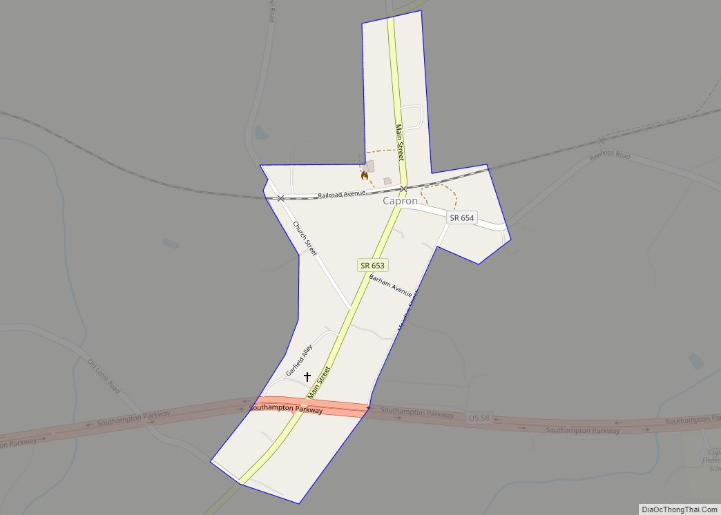
Capron is a town in Southampton County, Virginia, United States. The population was 167 at the 2000 census. Capron town overview: Name: Capron town LSAD Code: 43 LSAD Description: town (suffix) State: Virginia County: Southampton County Elevation: 112 ft (34 m) Total Area: 0.17 sq mi (0.43 km²) Land Area: 0.17 sq mi (0.43 km²) Water Area: 0.00 sq mi (0.00 km²) Total Population: 166 Population ... Read more
