Buchanan (/bəˈkænən/ bə-KAN-ən) is a town in Botetourt County, Virginia, United States. The population was 1,196 at the 2020 census. It is part of the Roanoke Metropolitan Statistical Area. It was the western terminus of the James River and Kanawha Canal when construction on the canal ended.
| Name: | Buchanan town |
|---|---|
| LSAD Code: | 43 |
| LSAD Description: | town (suffix) |
| State: | Virginia |
| County: | Botetourt County |
| Elevation: | 850 ft (259 m) |
| Total Area: | 2.21 sq mi (5.74 km²) |
| Land Area: | 2.17 sq mi (5.62 km²) |
| Water Area: | 0.05 sq mi (0.12 km²) |
| Total Population: | 1,196 |
| Population Density: | 540/sq mi (210/km²) |
| ZIP code: | 24066 |
| Area code: | 540 |
| FIPS code: | 5110744 |
| GNISfeature ID: | 1492652 |
| Website: | www.townofbuchanan.com |
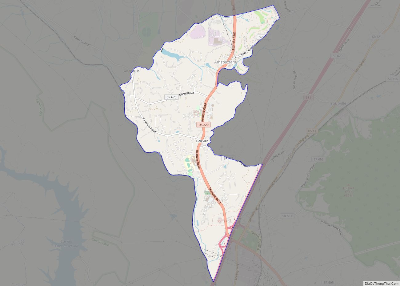
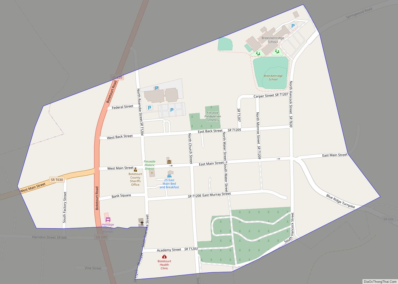
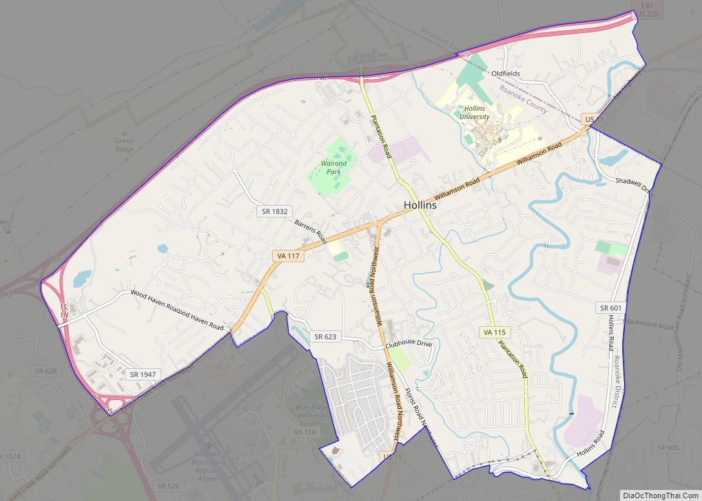
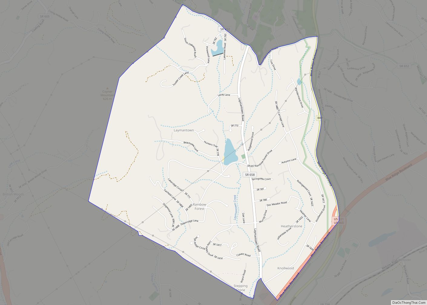
Online Interactive Map
Click on ![]() to view map in "full screen" mode.
to view map in "full screen" mode.
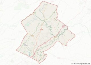
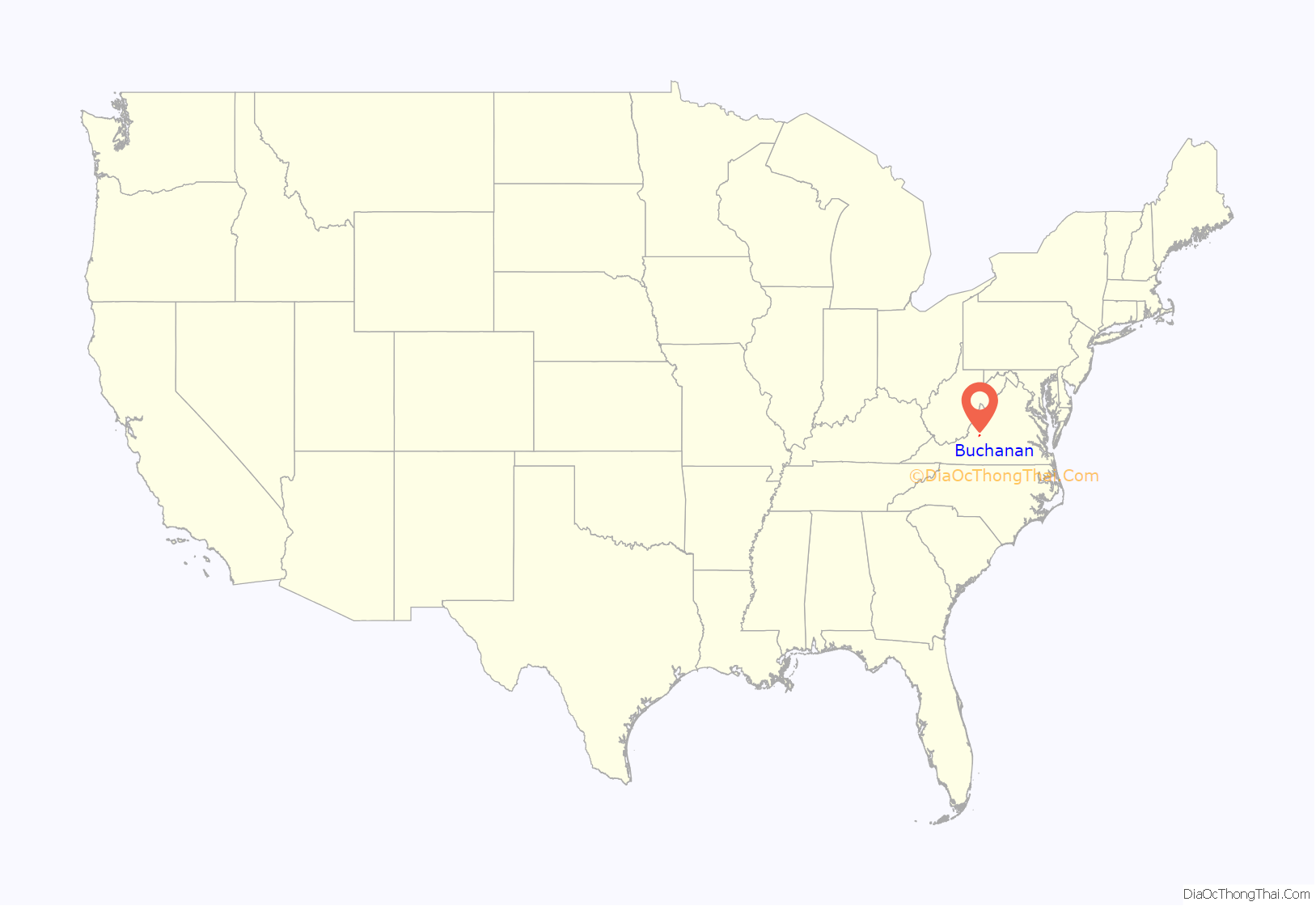
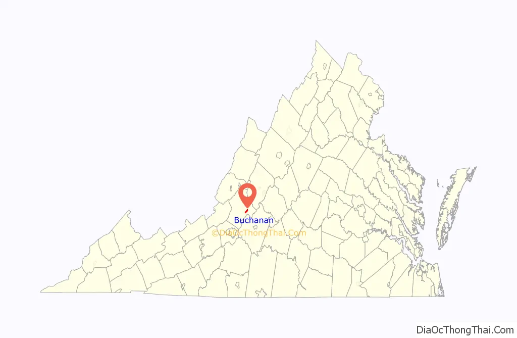
Buchanan location map. Where is Buchanan town?
History
Buchanan was incorporated in 1832. The town of Pattonsburg was founded on the opposite side of the James River (named for Colonel James Patton), and was connected to Buchanan via a bridge. An 1855 gazetteer described Buchanan and Pattonsburg together containing “3 or 4 churches, 1 bank, 1 printing office, and several tobacco factories and mills.” Buchanan was named for Virginia colonist John Buchanan (died 1769), a soldier and landowner who built Fort Fauquier on the James River, just south of the town.
The Buchanan Historic District, Greyledge, Lauderdale, Looney Mill Creek Site, and Wilson Warehouse are listed on the National Register of Historic Places.
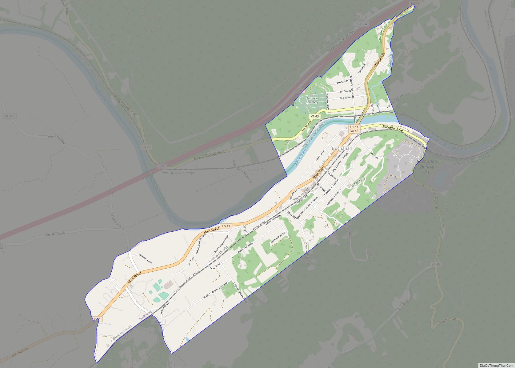
Buchanan Road Map
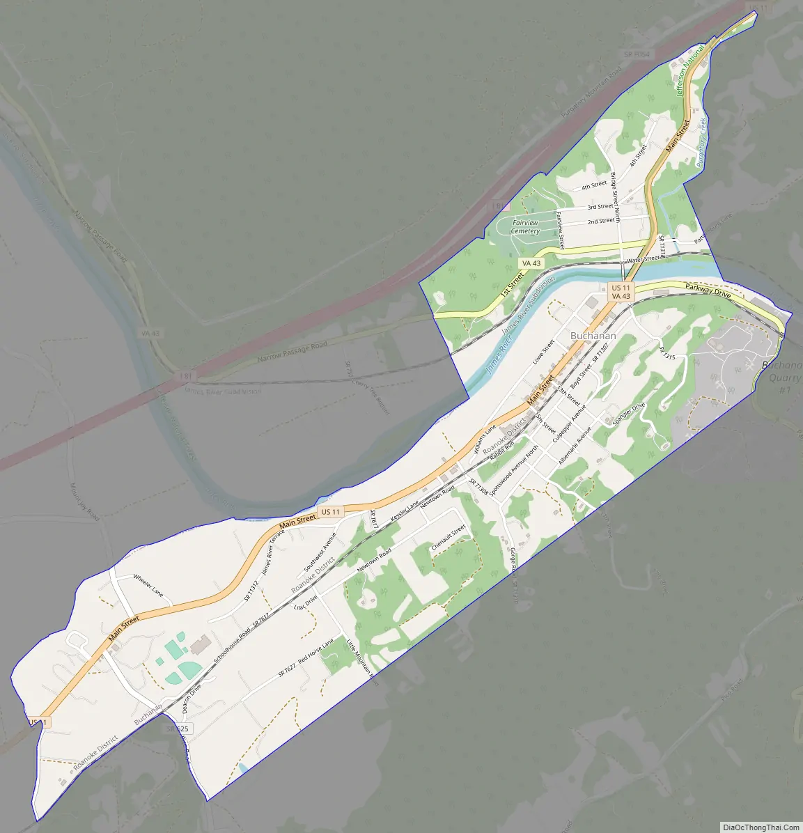
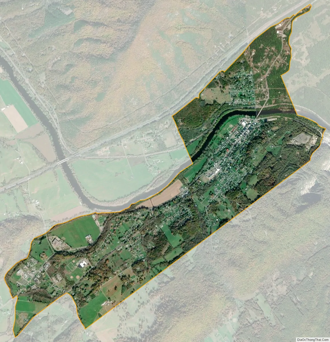
Buchanan city Satellite Map
Geography
Buchanan is located at 37°31′31″N 79°41′0″W / 37.52528°N 79.68333°W / 37.52528; -79.68333 (37.525177, -79.683405).
According to the United States Census Bureau, the town has a total area of 2.2 square miles (5.8 km), of which 2.2 square miles (5.6 km) is land and 0.039 square miles (0.1 km), or 2.09%, is water.
U.S. Route 11 runs through the center of town as Main Street. Interstate 81 runs along the northwest side of the town, with access from Exit 167 to the north and Exit 162 to the south, both with Route 11. State Route 43 crosses the James River with Route 11 in the center of town; Route 43 leads northwest up the James River to U.S. Route 220 at Eagle Rock and southeast to the Blue Ridge Parkway and the Peaks of Otter.
See also
Map of Virginia State and its subdivision:- Accomack
- Albemarle
- Alexandria
- Alleghany
- Amelia
- Amherst
- Appomattox
- Arlington
- Augusta
- Bath
- Bedford
- Bedford City
- Bland
- Botetourt
- Bristol
- Brunswick
- Buchanan
- Buckingham
- Buena Vista
- Campbell
- Caroline
- Carroll
- Charles City
- Charlotte
- Charlottesville
- Chesapeake
- Chesterfield
- Clarke
- Clifton Forge City
- Colonial Heights
- Covington
- Craig
- Culpeper
- Cumberland
- Danville
- Dickenson
- Dinwiddie
- Emporia
- Essex
- Fairfax
- Fairfax City
- Falls Church
- Fauquier
- Floyd
- Fluvanna
- Franklin
- Frederick
- Fredericksburg
- Galax
- Giles
- Gloucester
- Goochland
- Grayson
- Greene
- Greensville
- Halifax
- Hampton
- Hanover
- Harrisonburg
- Henrico
- Henry
- Highland
- Hopewell
- Isle of Wight
- James City
- King and Queen
- King George
- King William
- Lancaster
- Lee
- Lexington
- Loudoun
- Louisa
- Lunenburg
- Lynchburg
- Madison
- Manassas
- Manassas Park
- Martinsville
- Mathews
- Mecklenburg
- Middlesex
- Montgomery
- Nelson
- New Kent
- Newport News
- Norfolk
- Northampton
- Northumberland
- Norton
- Nottoway
- Orange
- Page
- Patrick
- Petersburg
- Pittsylvania
- Poquoson
- Portsmouth
- Powhatan
- Prince Edward
- Prince George
- Prince William
- Pulaski
- Radford
- Rappahannock
- Richmond
- Roanoke
- Roanoke City
- Rockbridge
- Rockingham
- Russell
- Salem
- Scott
- Shenandoah
- Smyth
- Southampton
- Spotsylvania
- Stafford
- Staunton
- Suffolk
- Surry
- Sussex
- Tazewell
- Virginia Beach
- Warren
- Washington
- Waynesboro
- Westmoreland
- Williamsburg
- Winchester
- Wise
- Wythe
- York
- Alabama
- Alaska
- Arizona
- Arkansas
- California
- Colorado
- Connecticut
- Delaware
- District of Columbia
- Florida
- Georgia
- Hawaii
- Idaho
- Illinois
- Indiana
- Iowa
- Kansas
- Kentucky
- Louisiana
- Maine
- Maryland
- Massachusetts
- Michigan
- Minnesota
- Mississippi
- Missouri
- Montana
- Nebraska
- Nevada
- New Hampshire
- New Jersey
- New Mexico
- New York
- North Carolina
- North Dakota
- Ohio
- Oklahoma
- Oregon
- Pennsylvania
- Rhode Island
- South Carolina
- South Dakota
- Tennessee
- Texas
- Utah
- Vermont
- Virginia
- Washington
- West Virginia
- Wisconsin
- Wyoming