Boydton is a town in Mecklenburg County, Virginia, United States. The population was 431 at the 2010 census. It is the county seat of Mecklenburg County, and it is near Kerr Lake.
| Name: | Boydton town |
|---|---|
| LSAD Code: | 43 |
| LSAD Description: | town (suffix) |
| State: | Virginia |
| County: | Mecklenburg County |
| Elevation: | 354 ft (108 m) |
| Total Area: | 0.82 sq mi (2.13 km²) |
| Land Area: | 0.82 sq mi (2.13 km²) |
| Water Area: | 0.00 sq mi (0.00 km²) |
| Total Population: | 431 |
| Population Density: | 501.22/sq mi (193.41/km²) |
| ZIP code: | 23917 |
| Area code: | 434 |
| FIPS code: | 5109016 |
| GNISfeature ID: | 1498456 |
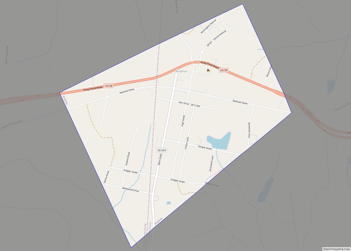
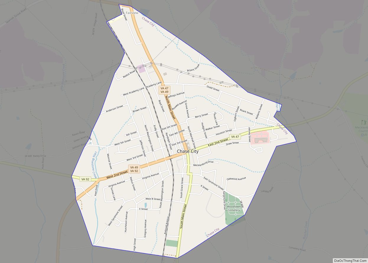
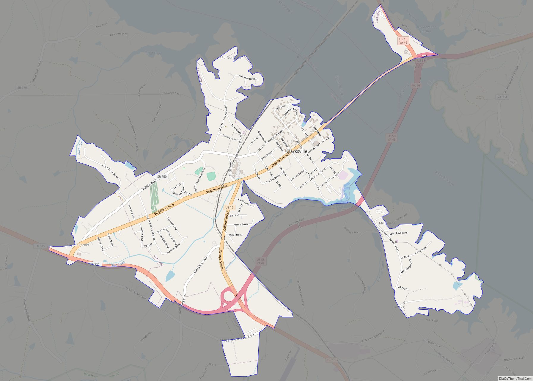
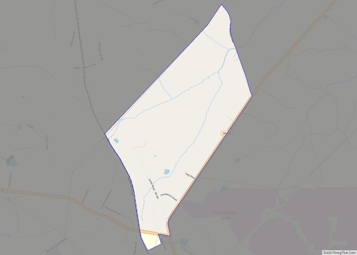
Online Interactive Map
Click on ![]() to view map in "full screen" mode.
to view map in "full screen" mode.
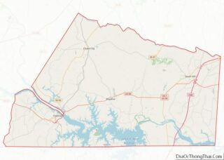
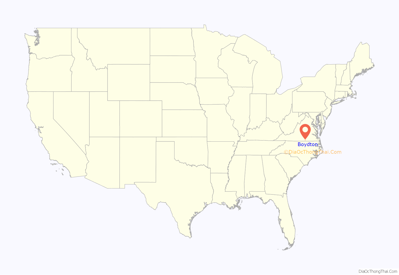
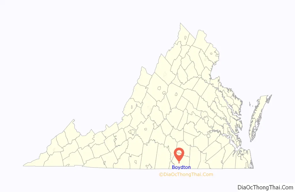
Boydton location map. Where is Boydton town?
History
Boydton was founded in 1812. It was home the original campus of Randolph-Macon College. The school was small and barely stayed in operation during the American Civil War as its focus abruptly changed from a Methodist seminary to military cadet training. In the difficult post-war Reconstruction years the trustees relocated the remote and struggling school to its present location in Ashland, Virginia, closer to railroad service.
Boydton/Clarksville was the terminus of the 19th-century “Boydton and Petersburg Plank Road” leading to Petersburg. This 80-mile (130-km) Plank road was covered with wooden planks, making it superior to other roads which were just unpaved dirt and rutted.
Boyd’s Tavern is an 18th-century structure originally operated by merchant Alexander Boyd, a Scottish immigrant, which in recent years has been restored by his descendants and opened to public tours.
In 1952 the large Kerr Lake was created nearby, drawing many boaters, campers, and fishermen to the local area (see Clarksville, Virginia).
In addition to Boyd’s Tavern, the Boydton Historic District and the Mecklenburg County Courthouse are listed on the National Register of Historic Places in 2002.
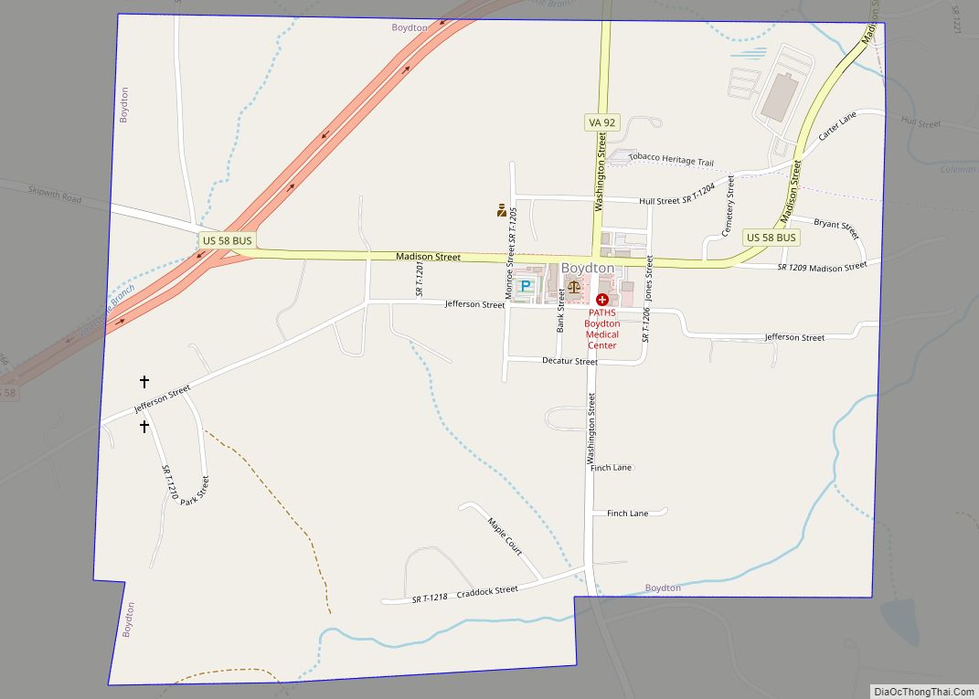
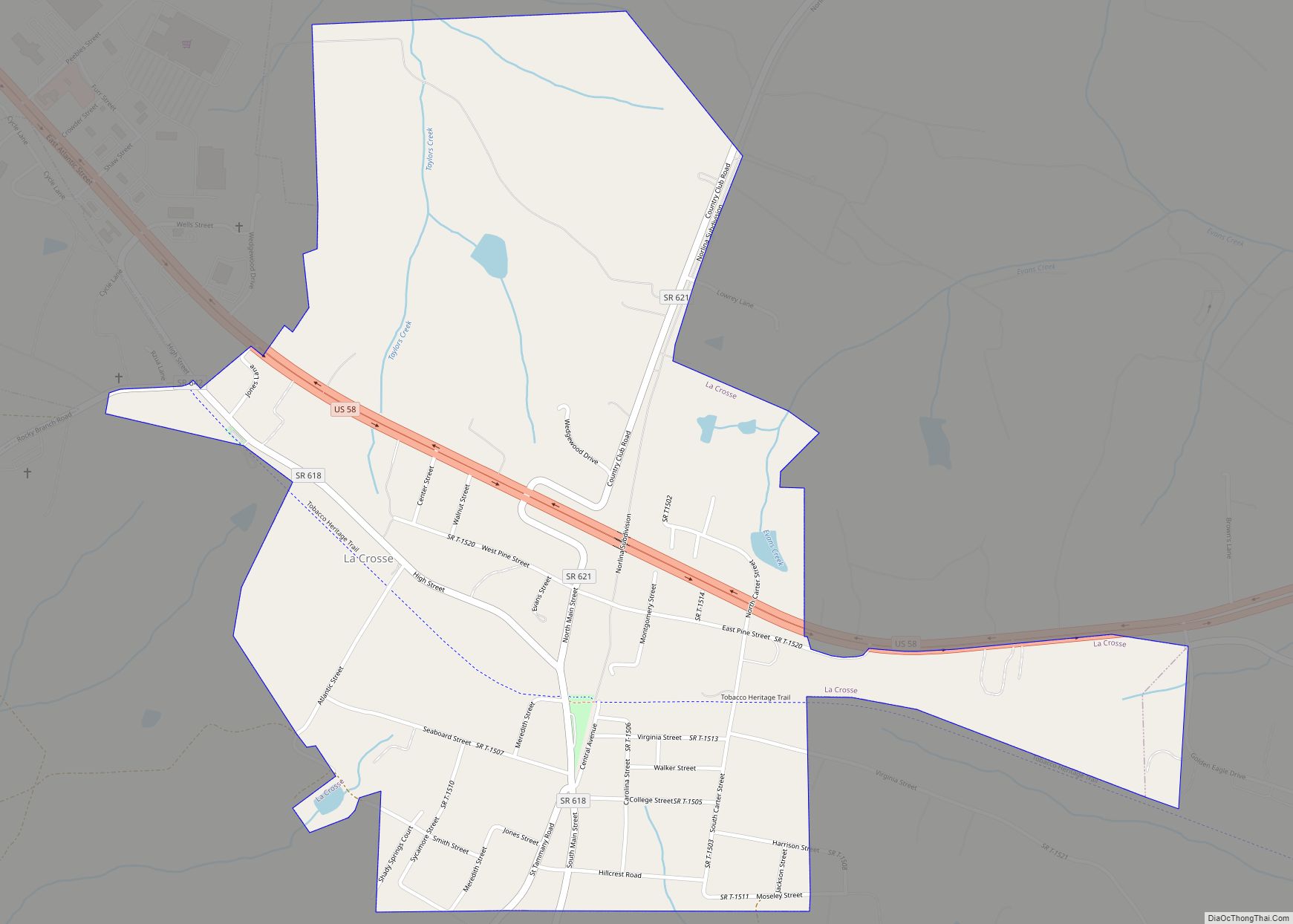
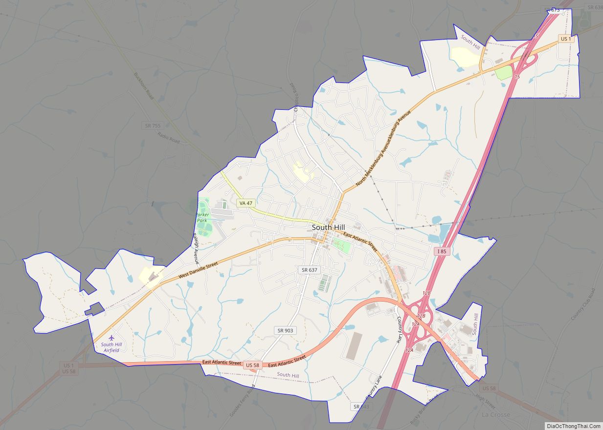
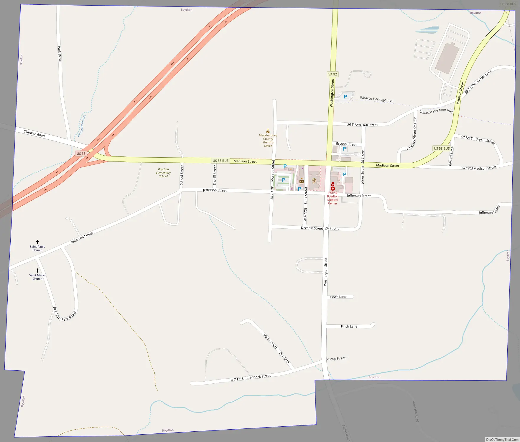
Boydton Road Map
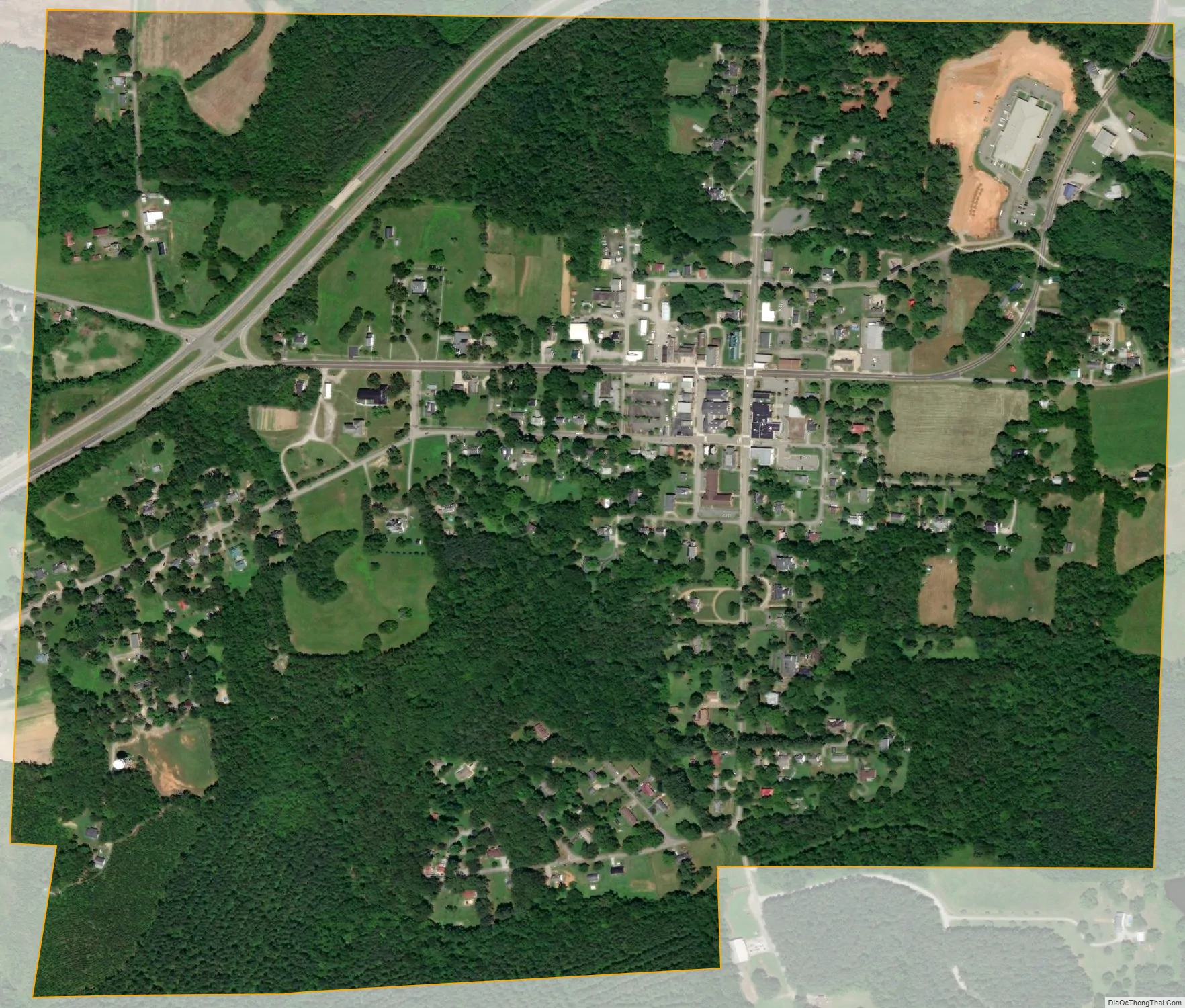
Boydton city Satellite Map
Geography
Boydton is located at 36°40′05″N 78°23′20″W / 36.667997°N 78.389001°W / 36.667997; -78.389001 (36.667997, −78.389001).
According to the United States Census Bureau, the town has a total area of 0.8 square miles (2.1 km), all of it land.
See also
Map of Virginia State and its subdivision:- Accomack
- Albemarle
- Alexandria
- Alleghany
- Amelia
- Amherst
- Appomattox
- Arlington
- Augusta
- Bath
- Bedford
- Bedford City
- Bland
- Botetourt
- Bristol
- Brunswick
- Buchanan
- Buckingham
- Buena Vista
- Campbell
- Caroline
- Carroll
- Charles City
- Charlotte
- Charlottesville
- Chesapeake
- Chesterfield
- Clarke
- Clifton Forge City
- Colonial Heights
- Covington
- Craig
- Culpeper
- Cumberland
- Danville
- Dickenson
- Dinwiddie
- Emporia
- Essex
- Fairfax
- Fairfax City
- Falls Church
- Fauquier
- Floyd
- Fluvanna
- Franklin
- Frederick
- Fredericksburg
- Galax
- Giles
- Gloucester
- Goochland
- Grayson
- Greene
- Greensville
- Halifax
- Hampton
- Hanover
- Harrisonburg
- Henrico
- Henry
- Highland
- Hopewell
- Isle of Wight
- James City
- King and Queen
- King George
- King William
- Lancaster
- Lee
- Lexington
- Loudoun
- Louisa
- Lunenburg
- Lynchburg
- Madison
- Manassas
- Manassas Park
- Martinsville
- Mathews
- Mecklenburg
- Middlesex
- Montgomery
- Nelson
- New Kent
- Newport News
- Norfolk
- Northampton
- Northumberland
- Norton
- Nottoway
- Orange
- Page
- Patrick
- Petersburg
- Pittsylvania
- Poquoson
- Portsmouth
- Powhatan
- Prince Edward
- Prince George
- Prince William
- Pulaski
- Radford
- Rappahannock
- Richmond
- Roanoke
- Roanoke City
- Rockbridge
- Rockingham
- Russell
- Salem
- Scott
- Shenandoah
- Smyth
- Southampton
- Spotsylvania
- Stafford
- Staunton
- Suffolk
- Surry
- Sussex
- Tazewell
- Virginia Beach
- Warren
- Washington
- Waynesboro
- Westmoreland
- Williamsburg
- Winchester
- Wise
- Wythe
- York
- Alabama
- Alaska
- Arizona
- Arkansas
- California
- Colorado
- Connecticut
- Delaware
- District of Columbia
- Florida
- Georgia
- Hawaii
- Idaho
- Illinois
- Indiana
- Iowa
- Kansas
- Kentucky
- Louisiana
- Maine
- Maryland
- Massachusetts
- Michigan
- Minnesota
- Mississippi
- Missouri
- Montana
- Nebraska
- Nevada
- New Hampshire
- New Jersey
- New Mexico
- New York
- North Carolina
- North Dakota
- Ohio
- Oklahoma
- Oregon
- Pennsylvania
- Rhode Island
- South Carolina
- South Dakota
- Tennessee
- Texas
- Utah
- Vermont
- Virginia
- Washington
- West Virginia
- Wisconsin
- Wyoming