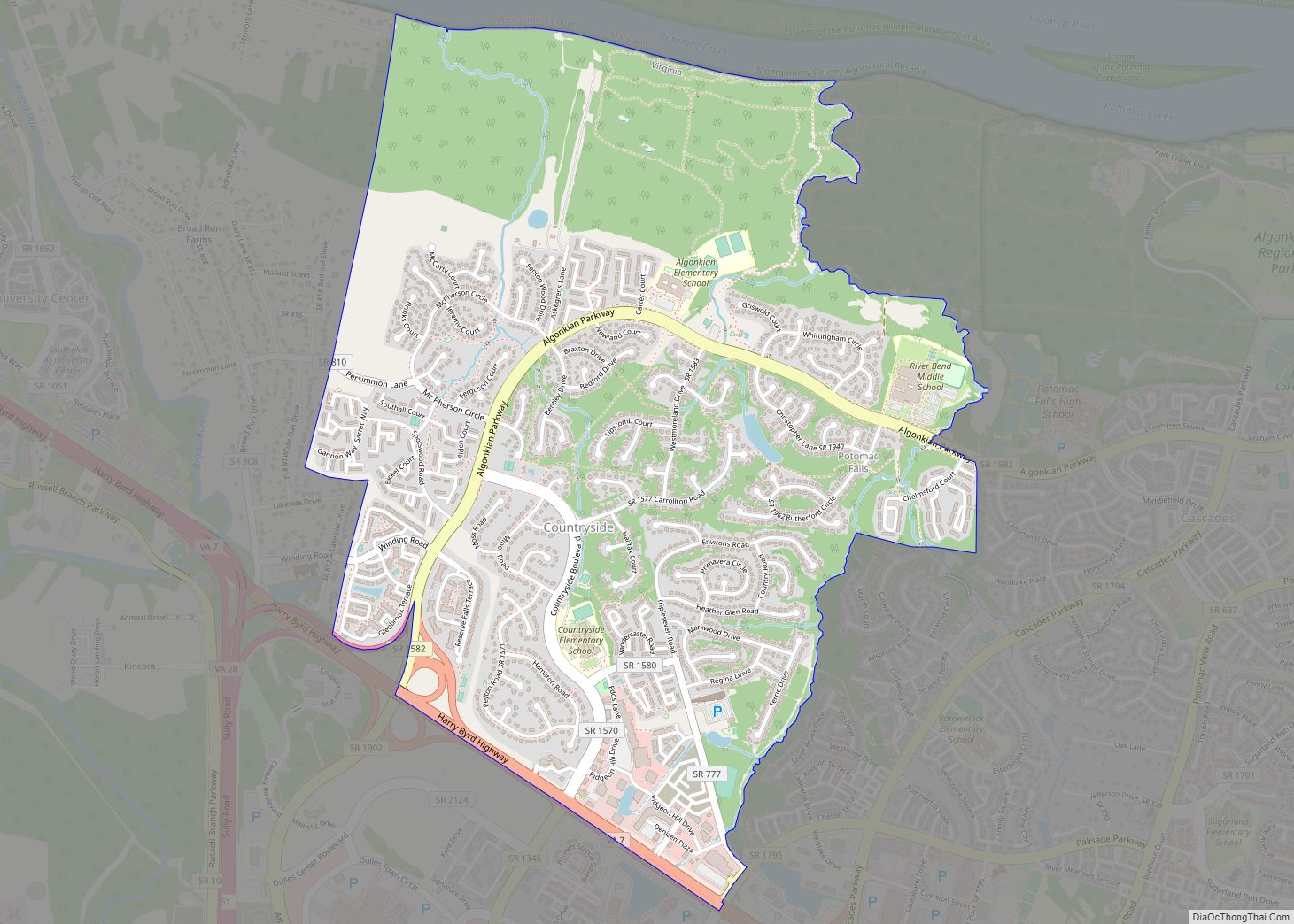
Countryside CDP overview: Name: Countryside CDP LSAD Code: 57 LSAD Description: CDP (suffix) State: Virginia County: Loudoun County FIPS code: 5119560 Online Interactive Map Countryside online map. Source: Basemap layers from Google Map, Open Street Map (OSM), Arcgisonline, Wmflabs. Boundary Data from Database of Global Administrative Areas. Countryside location map. Where is Countryside CDP? Countryside ... Read more
Virginia Cities and Places
Concord CDP overview: Name: Concord CDP LSAD Code: 57 LSAD Description: CDP (suffix) State: Virginia County: Appomattox County, Campbell County FIPS code: 5118880 Online Interactive Map Concord online map. Source: Basemap layers from Google Map, Open Street Map (OSM), Arcgisonline, Wmflabs. Boundary Data from Database of Global Administrative Areas. Concord location map. Where is Concord ... Read more
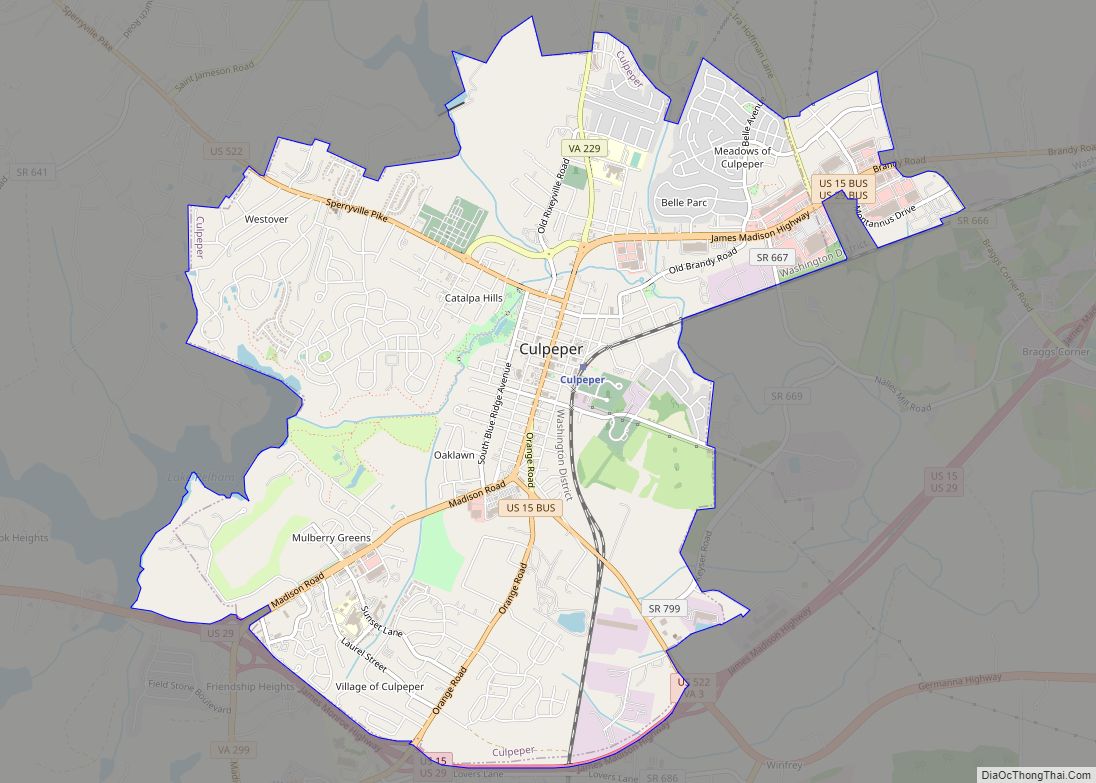
Culpeper (formerly Culpeper Courthouse, earlier Fairfax) is an incorporated town in Culpeper County, Virginia, United States. The population was 20,062 at the 2020 census, up from 16,379 at the 2010 census. It is the county seat of Culpeper County. Culpeper town overview: Name: Culpeper town LSAD Code: 43 LSAD Description: town (suffix) State: Virginia County: ... Read more
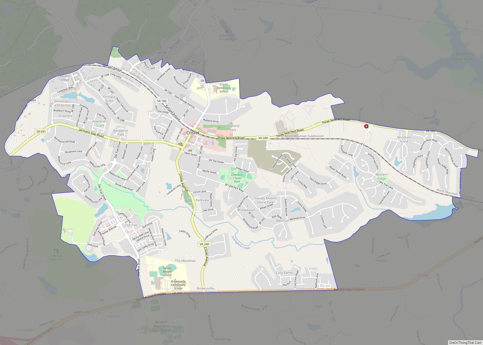
Crozet /ˌkroʊˈzeɪ/ is a census-designated place (CDP) in Albemarle County in the Commonwealth of Virginia, United States. It sits along the I-64 corridor, about 12 miles (19 km) west of Charlottesville and 21 miles (34 km) east of Staunton. Originally called “Wayland’s Crossing,” it was renamed in 1870 in honor of Colonel Claudius Crozet, the French-born civil ... Read more
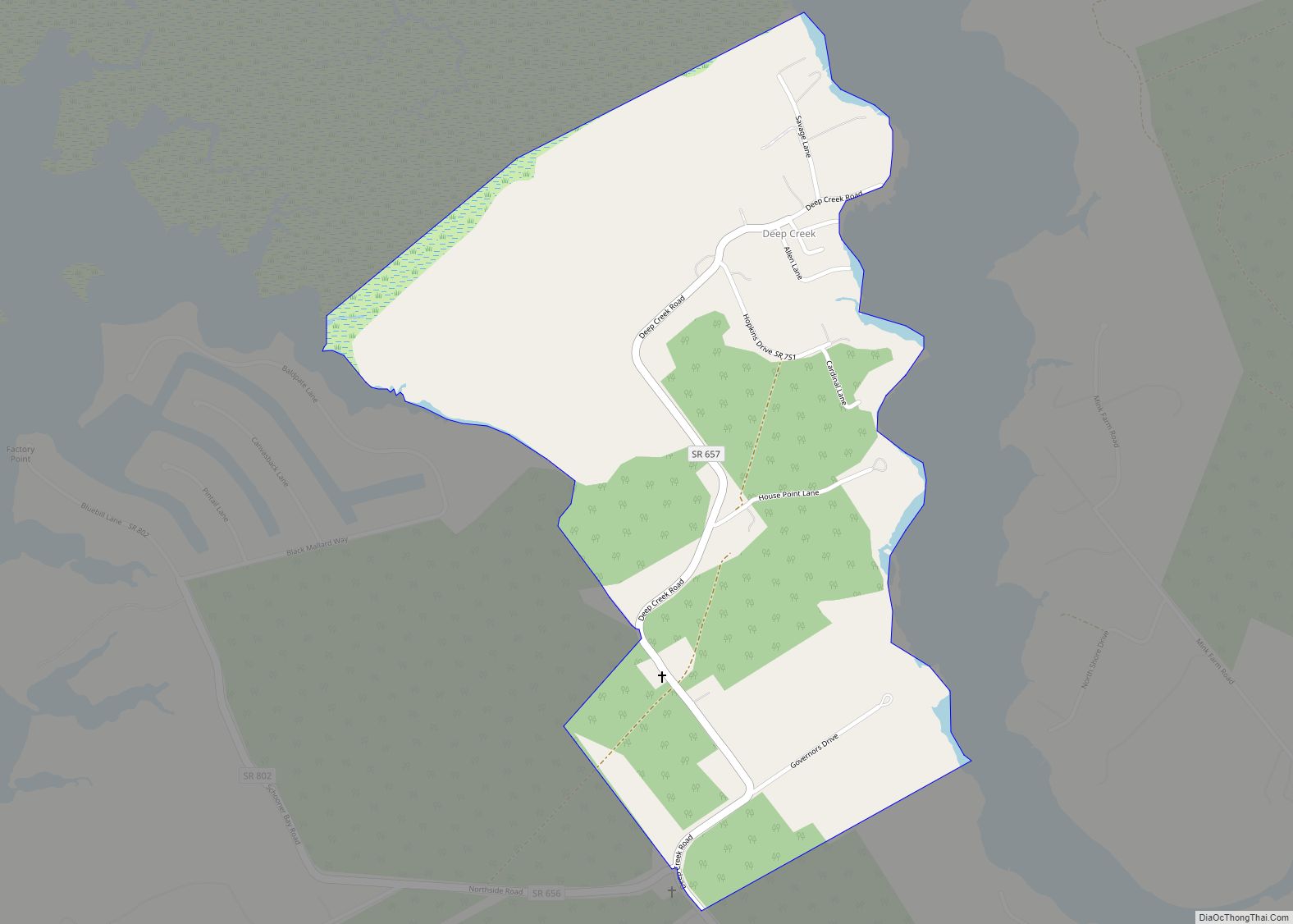
Deep Creek is a census-designated place (CDP) in Accomack County, Virginia, United States. Per the 2020 census, the population was 94. Deep Creek CDP overview: Name: Deep Creek CDP LSAD Code: 57 LSAD Description: CDP (suffix) State: Virginia County: Accomack County Elevation: 0.9 m (3 ft) Total Area: 94 FIPS code: 5121776 GNISfeature ID: 2584835 Online Interactive ... Read more
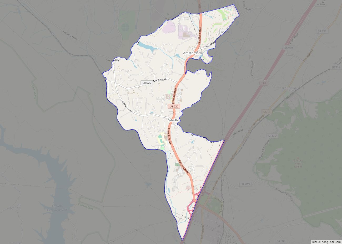
Daleville is a census-designated place (CDP) in southern Botetourt County, Virginia, United States. The population was 3,070 at the 2020 census. The CDP is located along U.S. Route 220. It is part of the Roanoke Metropolitan Statistical Area. Daleville CDP overview: Name: Daleville CDP LSAD Code: 57 LSAD Description: CDP (suffix) State: Virginia County: Botetourt ... Read more
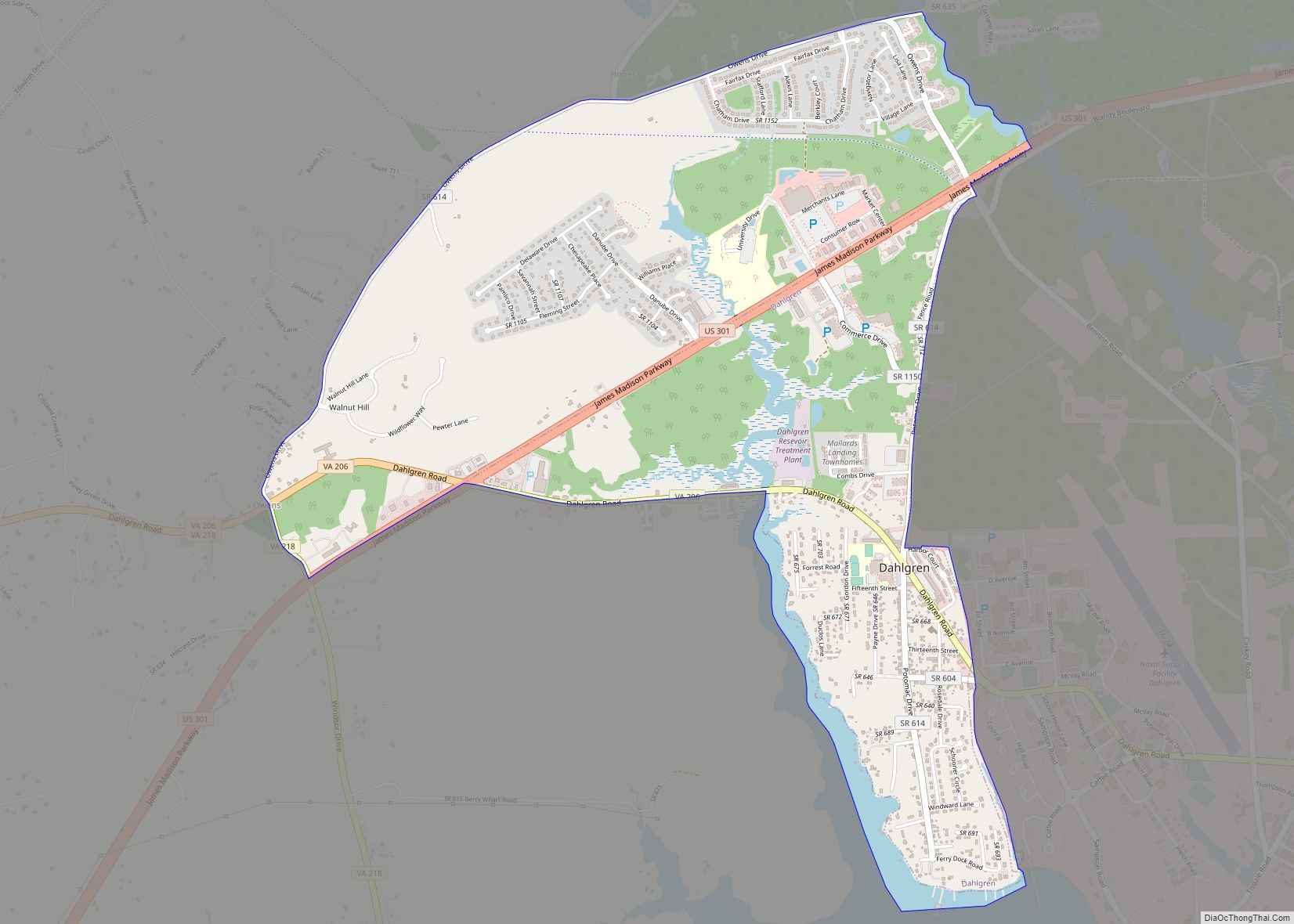
Dahlgren is an unincorporated community and census-designated place (CDP) in King George County, Virginia, United States. The population was 2,946 at the time of the 2020 census, up from 2,653 at the 2010 census, and up from 997 in 2000. Dahlgren CDP overview: Name: Dahlgren CDP LSAD Code: 57 LSAD Description: CDP (suffix) State: Virginia ... Read more
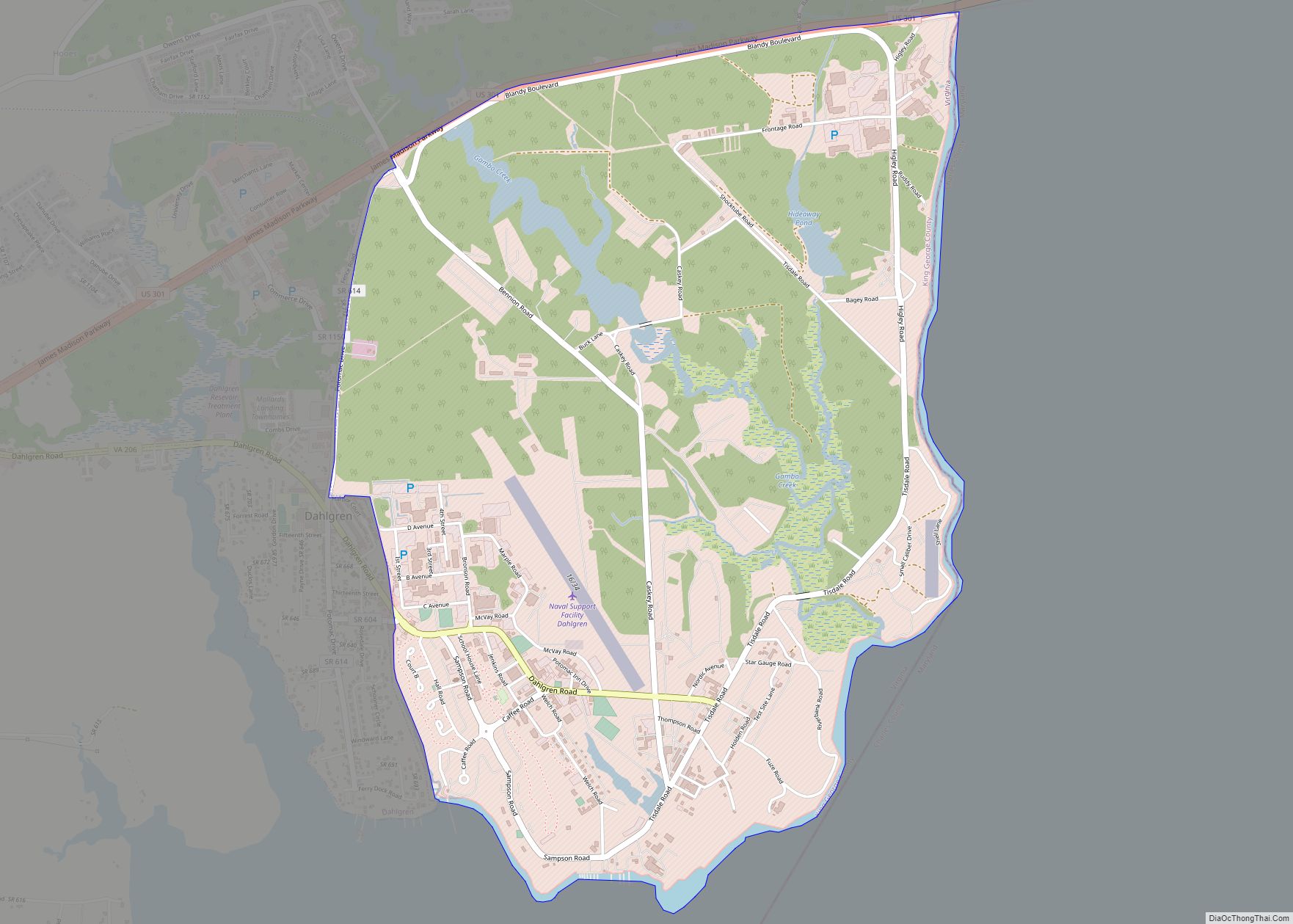
Dahlgren Center CDP overview: Name: Dahlgren Center CDP LSAD Code: 57 LSAD Description: CDP (suffix) State: Virginia County: King George County FIPS code: 5121016 Online Interactive Map Dahlgren Center online map. Source: Basemap layers from Google Map, Open Street Map (OSM), Arcgisonline, Wmflabs. Boundary Data from Database of Global Administrative Areas. Dahlgren Center location map. ... Read more
Cumberland is a census-designated place (CDP) in and the county seat of Cumberland County, Virginia, United States. Cumberland lies along U.S. Route 60 and State Route 45. It is 48 miles (77 km) west of Richmond and 51 miles (82 km) east of Amherst. The population as of the 2020 census was 365. Cumberland CDP overview: Name: ... Read more
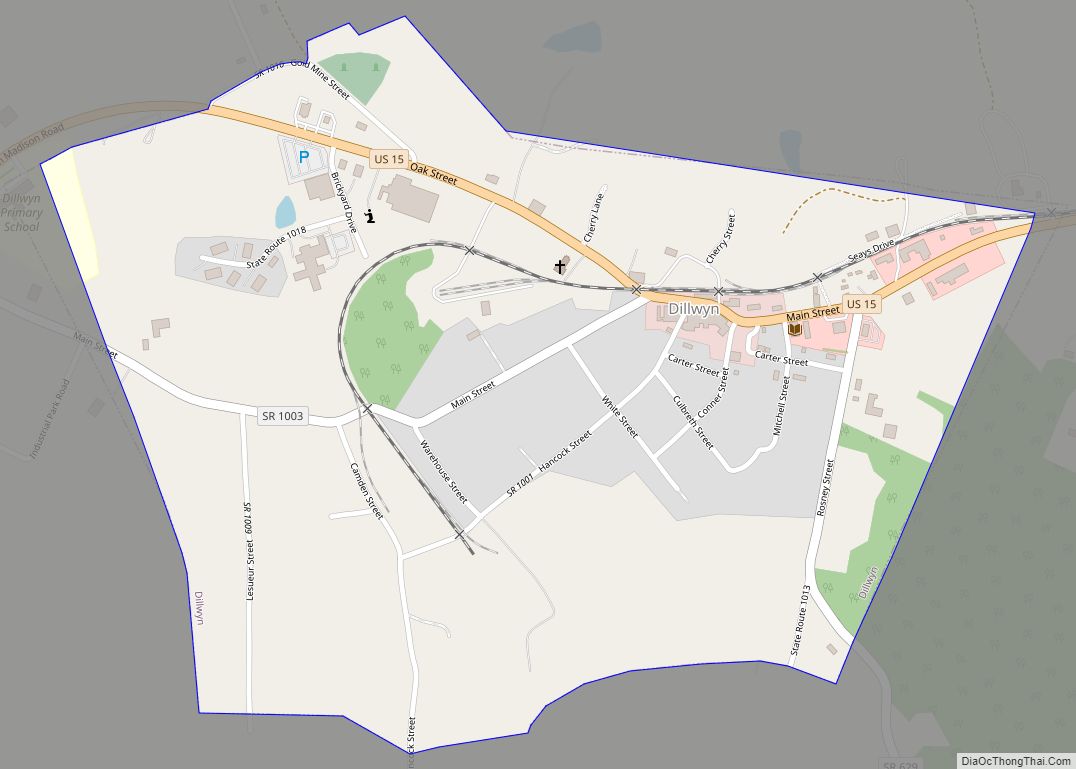
Dillwyn is an incorporated town in Buckingham County, Virginia, in the United States. The population was 447 at the 2010 census. Dillwyn town overview: Name: Dillwyn town LSAD Code: 43 LSAD Description: town (suffix) State: Virginia County: Buckingham County Elevation: 643 ft (196 m) Total Area: 0.65 sq mi (1.67 km²) Land Area: 0.64 sq mi (1.67 km²) Water Area: 0.00 sq mi (0.00 km²) Total ... Read more
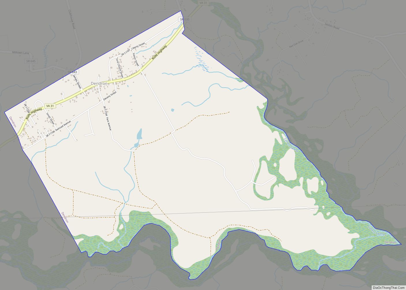
Dendron is a town in Surry County, Virginia, United States. The population was 251 at the 2010 census. Sculptor Leslie Garland Bolling was born in Dendron, as was mayor of Hopewell, Virginia, Curtis W. Harris. Dendron town overview: Name: Dendron town LSAD Code: 43 LSAD Description: town (suffix) State: Virginia County: Surry County Elevation: 118 ft ... Read more
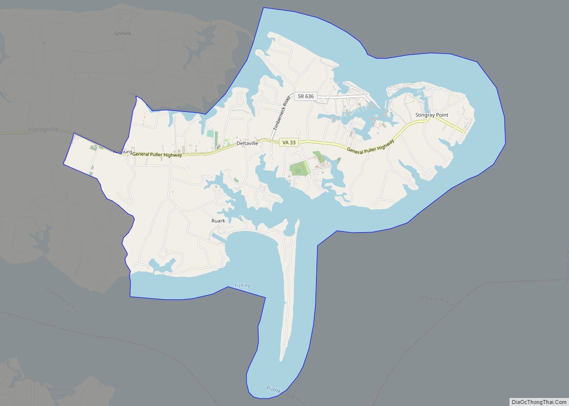
Deltaville is a small unincorporated community and census-designated place on the eastern tip of Middlesex County in the eastern part of the U.S. state of Virginia. It is known for being a vacation spot for those looking for sailing, fishing, and other activities associated with the water. The Middlesex County Board of Supervisors approved a ... Read more
