Dendron is a town in Surry County, Virginia, United States. The population was 251 at the 2010 census. Sculptor Leslie Garland Bolling was born in Dendron, as was mayor of Hopewell, Virginia, Curtis W. Harris.
| Name: | Dendron town |
|---|---|
| LSAD Code: | 43 |
| LSAD Description: | town (suffix) |
| State: | Virginia |
| County: | Surry County |
| Elevation: | 118 ft (36 m) |
| Total Area: | 3.57 sq mi (9.24 km²) |
| Land Area: | 3.57 sq mi (9.24 km²) |
| Water Area: | 0.00 sq mi (0.00 km²) |
| Total Population: | 251 |
| Population Density: | 70/sq mi (27/km²) |
| ZIP code: | 23839 |
| Area code: | 757, 948 (planned) |
| FIPS code: | 5122160 |
| GNISfeature ID: | 1492862 |
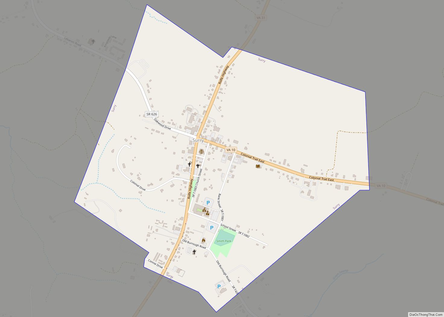
Online Interactive Map
Click on ![]() to view map in "full screen" mode.
to view map in "full screen" mode.
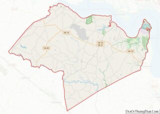
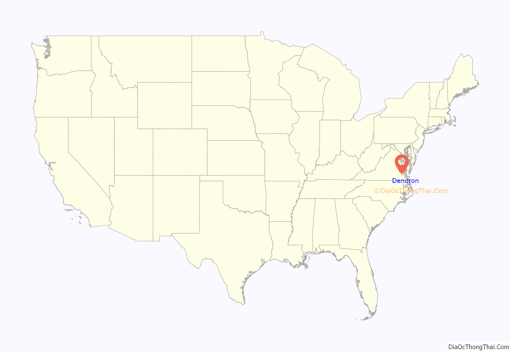
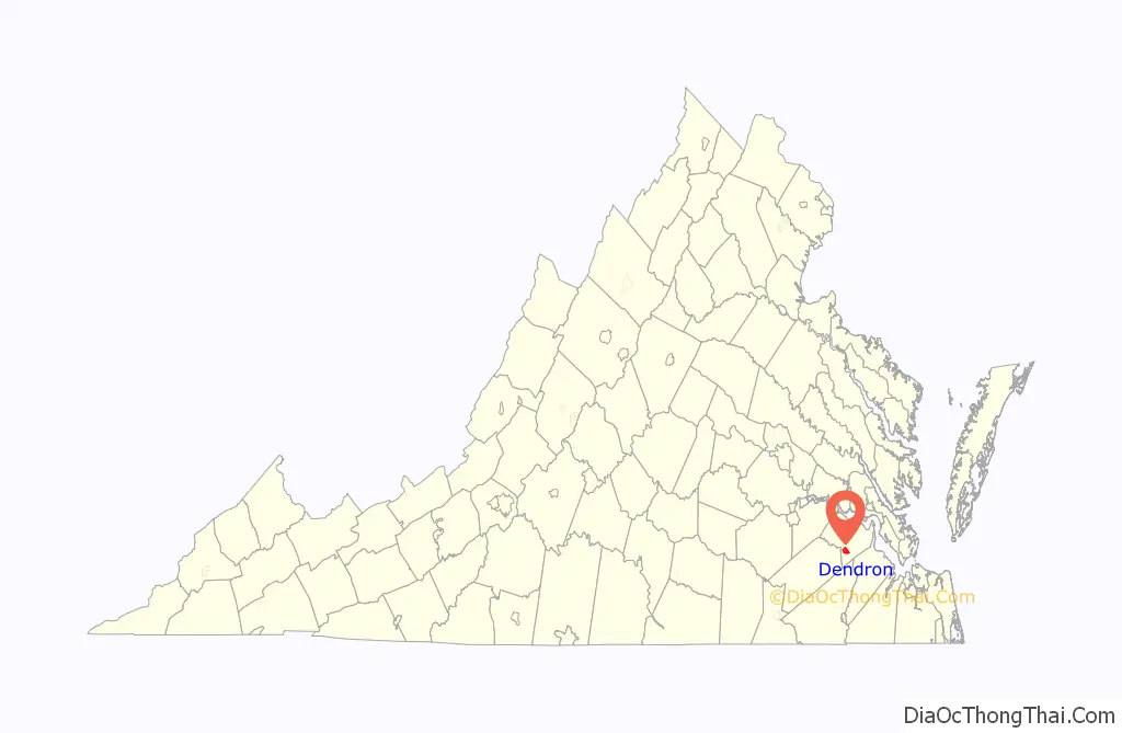
Dendron location map. Where is Dendron town?
History
Dendron was originally a mill town, built and run by the Surry Lumber Company in to house employees of its sawmill. The village was known as Mussel Fork Village until 1896 when it was renamed “Dendron.” The name was derived from δένδρον, the Greek word for tree. The years after 1896 saw rapid growth and expansion of the sawmill and the Town. More people moved to Dendron and additional Company housing built. By 1906, Dendron had a population of 1513 people, 298 dwellings, two hotels, eighteen Company stores and five churches. By 1928, Dendron’s population had reached nearly 3,000 people. In addition to those establishments listed above, there was also a post office, two schools, a jail, two banks, two doctors, a skating rink, a movie theater, and a number of non-company owned businesses; such as a drug store, barber shops, garages, cleaning establishments, a pool room, a restaurant, bakery and an ice cream parlor.
The company also operated a narrow gauge railroad known as Sussex, Surry and Southampton Railway that transported logs to its sawmill in Dendron, and lumber to its wharf on the James River. It also offered passenger service to Dendron and other small towns along its route. One of its steam locomotives built in 1891 was sold to Argent Lumber company in 1926. It was later bought by Midwest Central Railroad in 1960. Completely restored it is still in operation as Midwest Central Railroad’s flagship locomotive.
Production peaked in 1920, and the company did not replant after it cut trees. By 1925, most of the area’s old growth timber was exhausted. The Surry Lumber Company shut its Dendron sawmills on October 27, 1927. With its major employer gone, the town lost population rapidly, as did nearby Sedley, Vicksville, and Central Hill. The following year, the company began dismantling and selling its equipment and buildings, leaving Dendron without a railroad, water system or electricity.
In February 1931 a fire swept through what was left of Dendron, destroying twenty-one buildings along Main Street and erasing much of what was left of the once prosperous town. A decade later, the rival Gray Lumber Company of Waverly, which had long replanted its land with pine seedlings, bought 15,000 acres from the nearly defunct Surry Lumber company, and three other companies soon bought most of the remaining acreage in other counties. The company’s headquarters in Dendron was razed in 1970, and the former commissary, converted to a store, burned down in 1989.
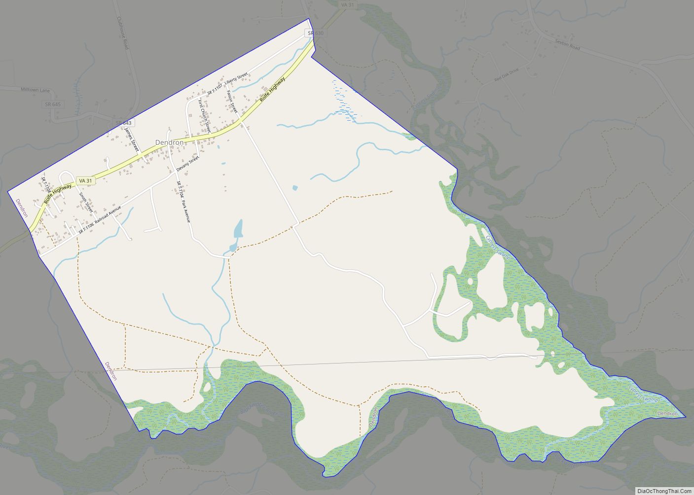
Dendron Road Map
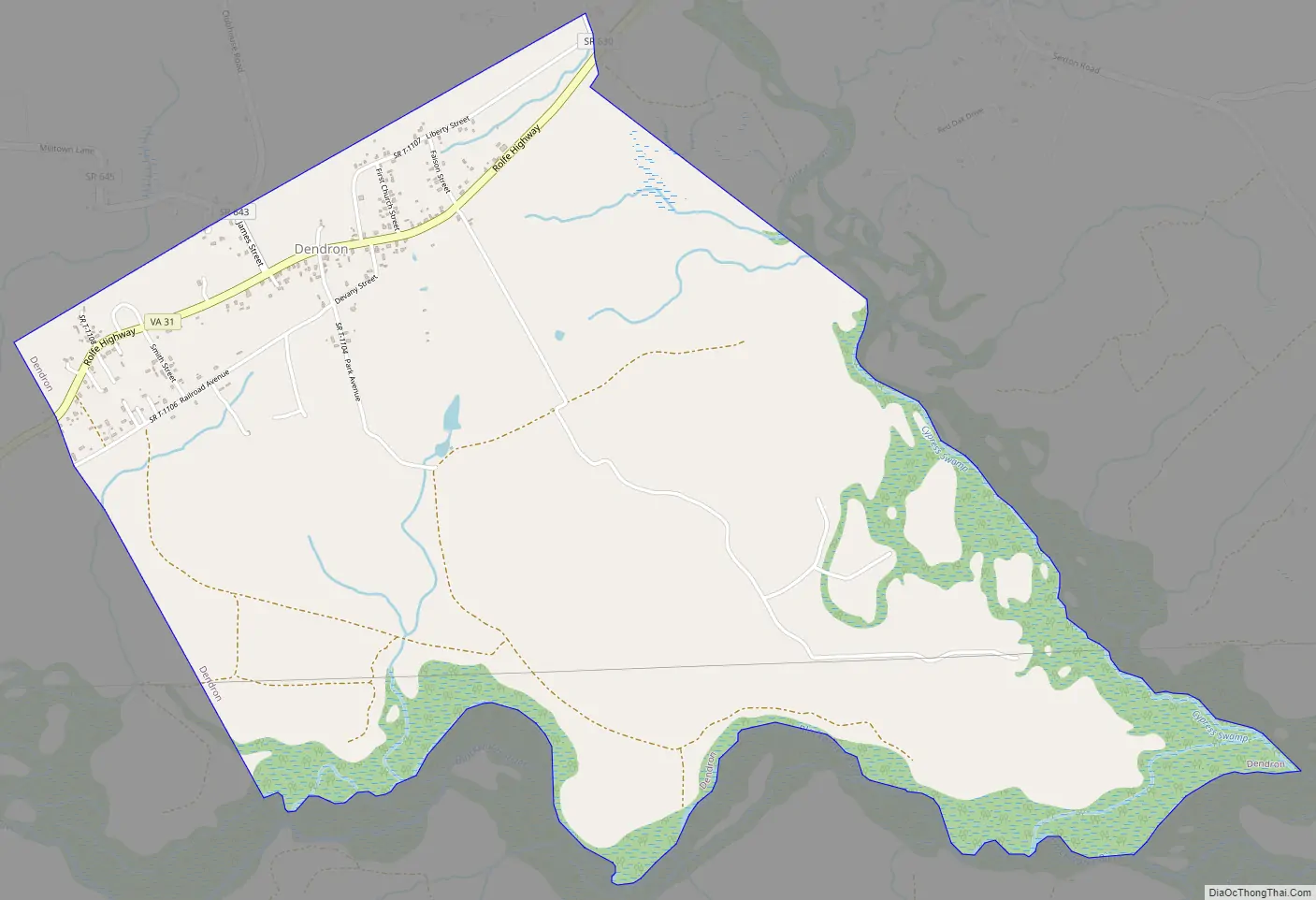
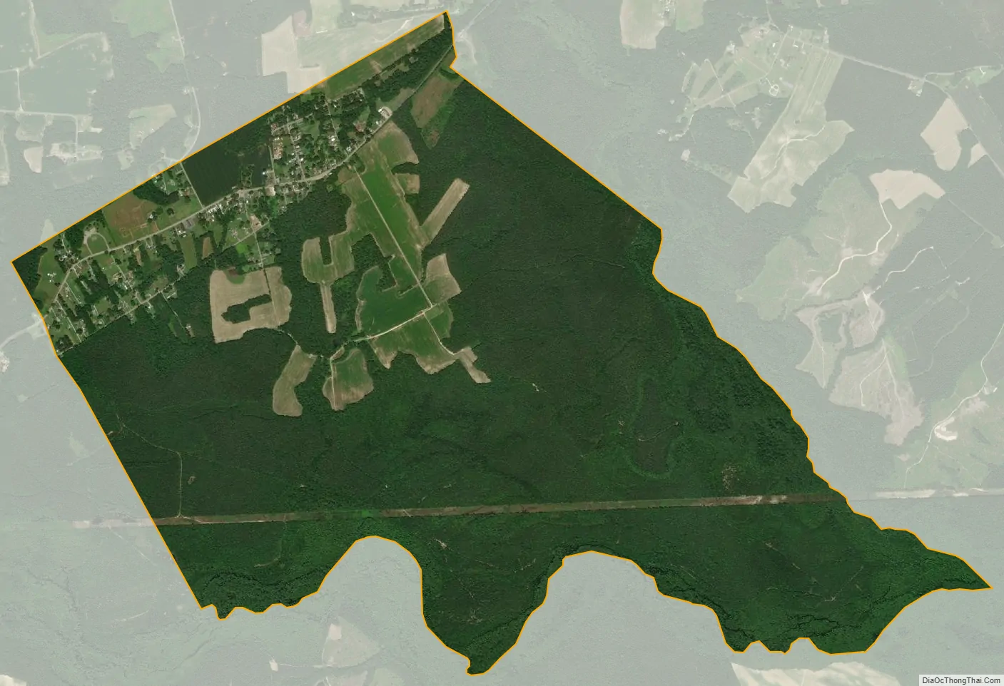
Dendron city Satellite Map
Geography
Dendron is located at 37°2′40″N 76°56′5″W / 37.04444°N 76.93472°W / 37.04444; -76.93472 (37.044516, -76.934737).
According to the United States Census Bureau, the town has a total area of 3.6 square miles (9.2 km), all of it land.
See also
Map of Virginia State and its subdivision:- Accomack
- Albemarle
- Alexandria
- Alleghany
- Amelia
- Amherst
- Appomattox
- Arlington
- Augusta
- Bath
- Bedford
- Bedford City
- Bland
- Botetourt
- Bristol
- Brunswick
- Buchanan
- Buckingham
- Buena Vista
- Campbell
- Caroline
- Carroll
- Charles City
- Charlotte
- Charlottesville
- Chesapeake
- Chesterfield
- Clarke
- Clifton Forge City
- Colonial Heights
- Covington
- Craig
- Culpeper
- Cumberland
- Danville
- Dickenson
- Dinwiddie
- Emporia
- Essex
- Fairfax
- Fairfax City
- Falls Church
- Fauquier
- Floyd
- Fluvanna
- Franklin
- Frederick
- Fredericksburg
- Galax
- Giles
- Gloucester
- Goochland
- Grayson
- Greene
- Greensville
- Halifax
- Hampton
- Hanover
- Harrisonburg
- Henrico
- Henry
- Highland
- Hopewell
- Isle of Wight
- James City
- King and Queen
- King George
- King William
- Lancaster
- Lee
- Lexington
- Loudoun
- Louisa
- Lunenburg
- Lynchburg
- Madison
- Manassas
- Manassas Park
- Martinsville
- Mathews
- Mecklenburg
- Middlesex
- Montgomery
- Nelson
- New Kent
- Newport News
- Norfolk
- Northampton
- Northumberland
- Norton
- Nottoway
- Orange
- Page
- Patrick
- Petersburg
- Pittsylvania
- Poquoson
- Portsmouth
- Powhatan
- Prince Edward
- Prince George
- Prince William
- Pulaski
- Radford
- Rappahannock
- Richmond
- Roanoke
- Roanoke City
- Rockbridge
- Rockingham
- Russell
- Salem
- Scott
- Shenandoah
- Smyth
- Southampton
- Spotsylvania
- Stafford
- Staunton
- Suffolk
- Surry
- Sussex
- Tazewell
- Virginia Beach
- Warren
- Washington
- Waynesboro
- Westmoreland
- Williamsburg
- Winchester
- Wise
- Wythe
- York
- Alabama
- Alaska
- Arizona
- Arkansas
- California
- Colorado
- Connecticut
- Delaware
- District of Columbia
- Florida
- Georgia
- Hawaii
- Idaho
- Illinois
- Indiana
- Iowa
- Kansas
- Kentucky
- Louisiana
- Maine
- Maryland
- Massachusetts
- Michigan
- Minnesota
- Mississippi
- Missouri
- Montana
- Nebraska
- Nevada
- New Hampshire
- New Jersey
- New Mexico
- New York
- North Carolina
- North Dakota
- Ohio
- Oklahoma
- Oregon
- Pennsylvania
- Rhode Island
- South Carolina
- South Dakota
- Tennessee
- Texas
- Utah
- Vermont
- Virginia
- Washington
- West Virginia
- Wisconsin
- Wyoming